CT Rain
-
Posts
26,271 -
Joined
-
Last visited
About CT Rain

- Birthday September 17
-
 This drought stuff in out of control.
 -
It's funny that people think this is something nefarious. The issue is that the weather graphics vendor most stations use (your former employer) have an almost impossible to figure out UI when it comes to building bar graphs and charts. TBH, it's why I don't show them very often. Obviously it shouldn't have been used but we're generally using horribly outdated equipment and graphics systems that are generally awful all around.
-
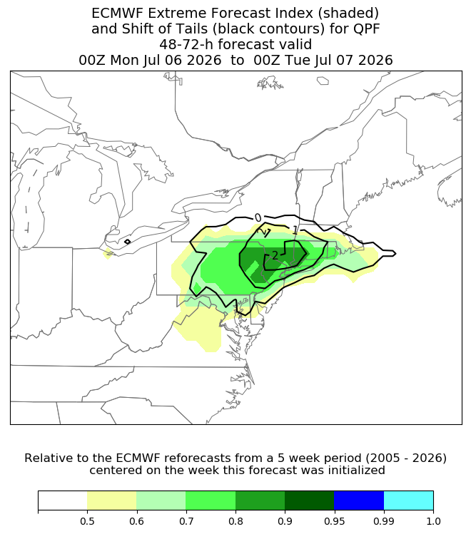
Hoisting the Sultan Signal: Heavy Rain Event July 5-7
CT Rain replied to WxWatcher007's topic in New England
I got like 1.25" yesterday. -
Lol you really dug to find that one.
-
His lawn will just wash away now after being Steined for a month.
-
Yeah 36 hours of that 850 fgen.... with 2" pwats on the south coast.
-
This is a big/strong signal for big rains.
-
Yeah was thinking that as well. The GFS is close to 60 knots at the top of the mixed layer at the coast.
-
Front might be a bit too fast.
-
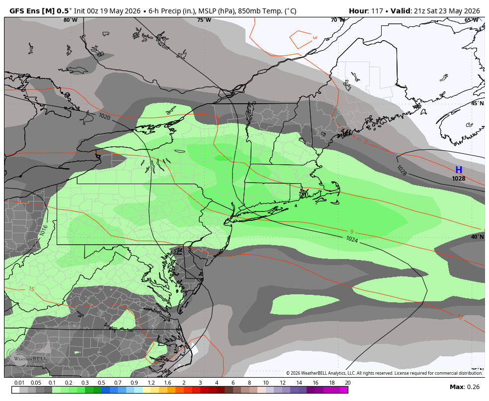
It is? Here's the GFS.

-
89F so far at BDL. They should be able to tickle 90.
-
Nice timing too. Right around 18z plus more westerly flow in the BL vs onshore.
-
Wednesday's severe threat looks decent to me. Lapse rates are pretty good (6.5c/km) on the NAM and deep layer effective shear around 40 knots. Should be able to get a decent QLCS with some embedded supercells. I think the GFS is mixing out the boundary layer a bit too much.
-
Indeed
-
So did the GFS.