

eaglesin2011
-
Posts
989 -
Joined
-
Last visited
Content Type
Profiles
Blogs
Forums
American Weather
Media Demo
Store
Gallery
Everything posted by eaglesin2011
-
Richmond Metro/Hampton Roads Area Discussion
eaglesin2011 replied to RIC Airport's topic in Mid Atlantic
https://virginia.trafficcamarchive.com/browseCameras.html?&rn=Virginia&li=VA_RI&z=13&la=37.6684674441814&lo=-77.59892463684082&c=6960 Traffic & VCU ramcam https://ramcam.vcu.edu/ -
Richmond Metro/Hampton Roads Area Discussion
eaglesin2011 replied to RIC Airport's topic in Mid Atlantic
Coming down nice & Steady now here in Short Pump -
Richmond Metro/Hampton Roads Area Discussion
eaglesin2011 replied to RIC Airport's topic in Mid Atlantic
Definitely impressive back building.. -
Richmond Metro/Hampton Roads Area Discussion
eaglesin2011 replied to RIC Airport's topic in Mid Atlantic
Stopped again.. really shows what the sun angle does .. wasn’t even snowing hard and still was accumulating.. looks like the final burst for the night will be pretty decent… -
Richmond Metro/Hampton Roads Area Discussion
eaglesin2011 replied to RIC Airport's topic in Mid Atlantic
Yeah, definitely a little back building the back edge has held on out here…getting close to a whole 2 inches in 11 hrs! May get to 3 inches after all if get lucky tomorrow morning… lol -
Richmond Metro/Hampton Roads Area Discussion
eaglesin2011 replied to RIC Airport's topic in Mid Atlantic
Prob about a 1 1/2 here in my part of Glen Allen.. See what the Upper Low produces tomorrow.. A shame they couldn’t come together (another just miss for this area) owell still better than nothing … -
Richmond Metro/Hampton Roads Area Discussion
eaglesin2011 replied to RIC Airport's topic in Mid Atlantic
Best rates since early this morning here in Glen Allen .. starting to accumulate again -
Richmond Metro/Hampton Roads Area Discussion
eaglesin2011 replied to RIC Airport's topic in Mid Atlantic
Will happen just maybe a miss for this area and not be as strong as it looked like earlier… just about stopped here in Glen Allen look to be back in the dry air for the next hour again… bummer ..Time to be productive for my real job lol -
Richmond Metro/Hampton Roads Area Discussion
eaglesin2011 replied to RIC Airport's topic in Mid Atlantic
In the next hour another dry sport is heading for this area .. Definitely right on the line for something decent.. Again if it’s snowing better then it is now at 3pm we will have a chance to get to 3 inches + … I’ll be happy to get to 2 here … The upper air low tomorrow look's like it may miss this area all together on the last run but we will see -
Richmond Metro/Hampton Roads Area Discussion
eaglesin2011 replied to RIC Airport's topic in Mid Atlantic
Agreed! Still less the a half inch here… just can’t get any good decent banding up this way ..Almost has stopped a few times.. Hopefully later today & tomorrow over performs or will be another storm under 3 inches here.. -
Richmond Metro/Hampton Roads Area Discussion
eaglesin2011 replied to RIC Airport's topic in Mid Atlantic
I’m talking about my specific area, just a few miles south/east could be a completely different story.. If it’s snowing here after 3pm and heavier that will be a good sign for all… -
Richmond Metro/Hampton Roads Area Discussion
eaglesin2011 replied to RIC Airport's topic in Mid Atlantic
Who is doing that? . Just stating the facts and where I’m at now.. Hopefully it will backfill but it’s looking like this area will be just a bit too NW -
Richmond Metro/Hampton Roads Area Discussion
eaglesin2011 replied to RIC Airport's topic in Mid Atlantic
Still just very fine light flakes here.. not sure if will get into any good rates here today … looks to be just to far north/west here to get good results from the coastal…prob still not even a 1/2 inch yet… -
Richmond Metro/Hampton Roads Area Discussion
eaglesin2011 replied to RIC Airport's topic in Mid Atlantic
Yep the cold air/dew points are low &with the coastal taking over isnt helping this area but should help our southern folks .. rather have this then get it washed away or mixed with sleet -
Richmond Metro/Hampton Roads Area Discussion
eaglesin2011 replied to RIC Airport's topic in Mid Atlantic
Again, I am aware lol.. IMO .” I think” The Glen Allen area will do better with the Upper low tomorrow if the coastal dosnt get going soon.. -
Richmond Metro/Hampton Roads Area Discussion
eaglesin2011 replied to RIC Airport's topic in Mid Atlantic
I’m aware what was to happen .. I’m saying if the storm is to over perform out here…. The coastal will need to get going soon or most of the snow in this area will need to come from the upper low tomorrow .. I figured the whole time that’s where my area would get most of the accumulating snow from… I’m taking about what would need to happen for both parts of the storm over performing in this area . -
Richmond Metro/Hampton Roads Area Discussion
eaglesin2011 replied to RIC Airport's topic in Mid Atlantic
It’s going to really need to start going quick or will be over by 3pm for anyone west of 95 especially the more north u go.. hopefully the upper air dosnt fall appart tomorrow and over performs -
Richmond Metro/Hampton Roads Area Discussion
eaglesin2011 replied to RIC Airport's topic in Mid Atlantic
Easiest way if you do it with your cell phone is to 1. take a picture 2 save your picture 2 screen shot that same picture and cut it down a tad & re save.. 3 add to files from your photo library -
Richmond Metro/Hampton Roads Area Discussion
eaglesin2011 replied to RIC Airport's topic in Mid Atlantic
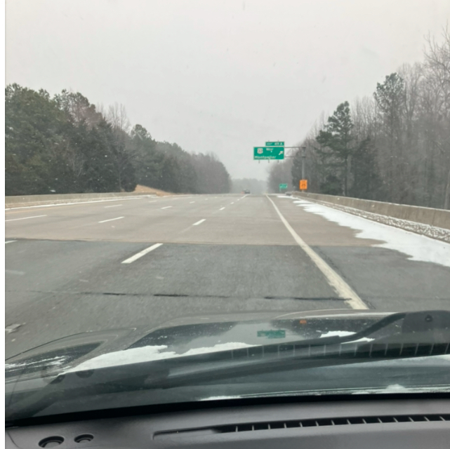
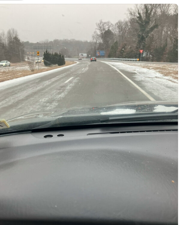
A few quick early pics nice steady fuffly snow that is blowing around on the roads here at staples and 295 …main roads just starting to get covered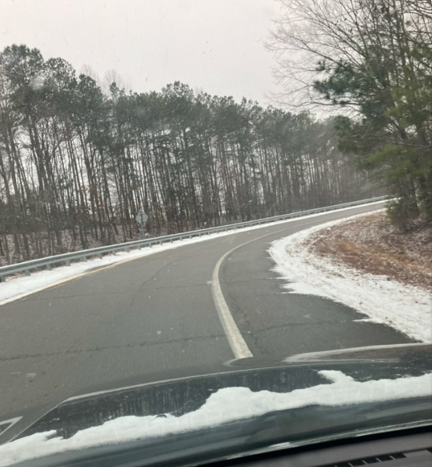
-
Richmond Metro/Hampton Roads Area Discussion
eaglesin2011 replied to RIC Airport's topic in Mid Atlantic
Agree with everything is on schedule (maybe even a little ahead) with the storm still organizing it can form the dry air pockets & also rob the moister in the backend of the storm.. looks like it’s already doing . staying in the heavier bands are key to how much accumulation we all get -
Richmond Metro/Hampton Roads Area Discussion
eaglesin2011 replied to RIC Airport's topic in Mid Atlantic
Storm is an unorganized mess right now .. Hopefully it can get its self together or this will be a storm of bands, where a few miles can make a big difference… if your in that Heavy band or not… It’s not snowing here in my part of Glen Allen at the moment but we did get a dusting from the first band that came through… Next one seems to be the doorstep in the next 30mins or so -
Richmond Metro/Hampton Roads Area Discussion
eaglesin2011 replied to RIC Airport's topic in Mid Atlantic
Well it’s not like we are in a snow belt area here lol.. 3+ storms are rare around here .. enjoy it -
Richmond Metro/Hampton Roads Area Discussion
eaglesin2011 replied to RIC Airport's topic in Mid Atlantic
Here you about the drought (is why I brought it up on how hard it is to get a 6+ all snow event here…Sorry but I don’t believe you for a second that you prefer it not to snow if it’s anything less then 6 …. lol -
Richmond Metro/Hampton Roads Area Discussion
eaglesin2011 replied to RIC Airport's topic in Mid Atlantic
lol You should know by now how hard it is to even get 6 inch storms around here… I’ll call it a win with anything more then 3 inches… -
Richmond Metro/Hampton Roads Area Discussion
eaglesin2011 replied to RIC Airport's topic in Mid Atlantic
Please people!! stop with the over dramatics of the main thread it’s been 3 to 6 inches for most of this area for awhile now and that hasn’t changed… Key will be what we get from the upper low & if it pushes us over the 4+ or not


