

biodhokie
-
Posts
460 -
Joined
-
Last visited
Content Type
Profiles
Blogs
Forums
American Weather
Media Demo
Store
Gallery
Posts posted by biodhokie
-
-
Power lines starting to fall w/ down lines in Rockville on Bel Pre Rd.
-
 2
2
-
-
Being an early millennial I do remember being sent home early like an hour early during HS (05-06) because of incoming severe weather in Spotsy so while a lot of folks are griping about the early dismissals, its not like its unprecedented. The running theme seems to be making sure the kids are given a window to arrive home safe.
-
1
-
-
1 hour ago, nj2va said:
Great use of tax dollars.
Wouldn't be surprised if they didn't spray one snowfall a time ago and some person sued the DOT over an accident they had blaming they didn't treat roads to get out of paying for damages themselves and won. So now its spray all the time just to CYA.
-
1
-
-
The only thing that sucks about this storm is that it's over the weekend. If it was Friday or Monday, we'd have another 3 day weekend from OPM.
-
20 hours ago, 87storms said:
Interesting, though I do have a minor gripe about the axis points changing from graph to graph. I just wrapped up a graduate data analytics class where I basically lived in Cognos and had to create visualizations for 2 months, so I've become picky lol. Not surprisingly, warm/humid is the most frequent pairing.
I now can't unsee this. I've been facedeep in R creating visualizations and heatmaps on genetic datasets for the past month and the first thing I noticed was "oh hey, probably done in ggplot w/ the viridis package", not the actual data. Not surprised, we do warm/humid well here.
-
BWI: 24.6”
DCA: 18.7”
IAD: 27.3”
RIC: 15.2”
Tiebreaker SBY: 15”
-
1
-
-
BWI: 11/4
IAD: 11/2
DCA: 11/15
RIC: 11/15
BWI Departure: +0.7
-
2 minutes ago, Its a Breeze said:
Yes, and it looks like RIC came through! Don't know when it's official, but I'm seeing 100 at 3:10. Now...don't go any higher please

Give me one more!
-
5 minutes ago, WxWatcher007 said:
Yeah, I was out of the loop


-
2
-
 2
2
-
-
53 minutes ago, vastateofmind said:
Glad you mentioned that...we had lost power by the time we went under a tornado warning yesterday, though I still received all alerts on our wx radio with battery backup. What I didn't expect was to get the cell phone based emergency alert for the tornado threat. Is that standard practice for tornado warnings? (That was only the second I've experienced in the 20+ years living in this neighborhood.)
Yes, I've seen tornado warnings and flash flood warnings get pushed to cell phones which imo is a huge leap since the majority of folks have a cell phone nowadays.
-
2
-
-
1 minute ago, Paleocene said:
What's ETA for this baby on the 95 corridor?
5-7 pm
-
1
-
-
Just got an OPM alert of all federal employees to depart no later than 3 PM
-
1
-
-
1 minute ago, H2O said:
88/80!! That dew.
That's moist.
-
1 minute ago, yoda said:
Probably because SPC posted that hatched tor area in their MCD over DC metro...
Wasn't the hatched for wind and just a 10% tor?
-
2 minutes ago, KAOS said:
I am in Pasadena and this was laughable... More like 8 mph winds and .008 precip.
Dude, I was literally in the one spot maybe 2 mi in diameter in Rockville that got 10 mph winds and 0.1 precip while the rest of the county got smoked. If I was home, I would've been front row center. I hate this timeline.
-
 1
1
-
-
Welp, congrats on those who jackpotted. Silver Spring continues to get screwed.
-
1 minute ago, Eskimo Joe said:
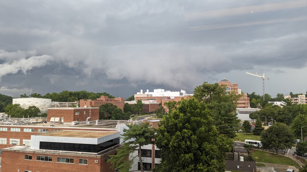
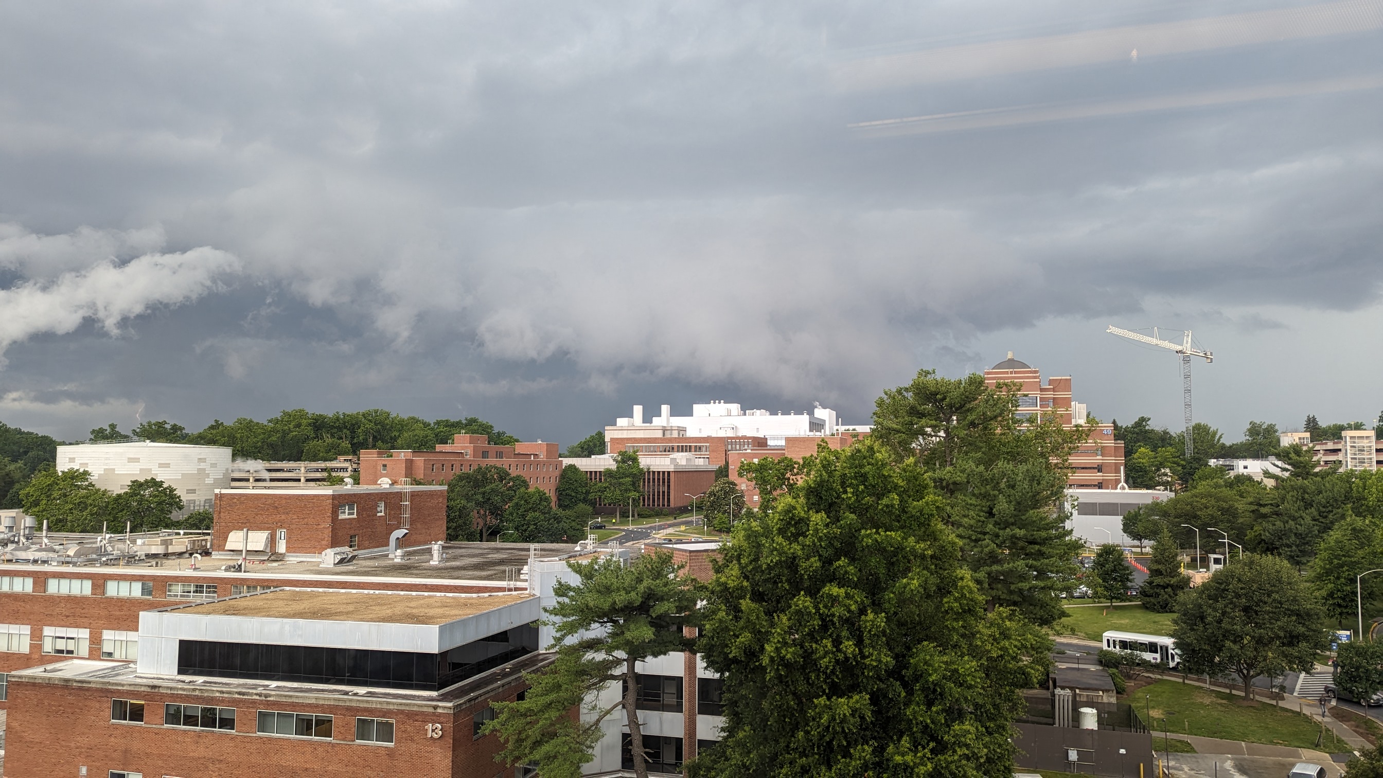
Impressive outflow boundary going into NW DC @Ian might be getting some sweet shelf cloud shots.
As the shelf was passing over Bethesda it really took shape. Ian should get some mothership pictures.
-
Looking interesting looking into Potomac.
-
5
-
-
DCA 99
IAD 101
BWI 99
RIC 101
-
57 minutes ago, LeesburgWx said:
Lol yeah, I don’t even know what to believe anymore
Welcome to the LR thread where snow is made up and the totals don't matter!
-
1
-
-
I'll take suckitude for the next 2 months if it means a summer season of not getting blueballed by watching boomers form by leesburg, die out over the metro area and then become boomers again over the Chesapeake.
-
1
-
-
4 hours ago, WxWatcher007 said:


Being a skins fan is pain.
-
1
-
3
-
-
Well, one upside to all the reaping going on in the LR threads...I can at least work on the golf game without being a popsicle.
-
BWI: 21.2"
DCA: 18.4"
IAD: 20.1"
RIC: 16"Tiebreaker (SBY): 6"
-
1
-
Tuesday, January 9 Rain and Wind Storm
in Mid Atlantic
Posted
Not bs. I'm literally looking out my work window in Bethesda about 50 ft up and watching flakes of snow waft around with rain. Its weird.