

mayjawintastawm
-
Posts
1,344 -
Joined
-
Last visited
Content Type
Profiles
Blogs
Forums
American Weather
Media Demo
Store
Gallery
Posts posted by mayjawintastawm
-
-
2 hours ago, ValpoVike said:
The models are interesting this weekend. As expected for late April, there is a massive gradient over a very short distance…with the euro at 10-12” across central Larimer and a couple of feet from the GFS. By eyeball, about 5 miles east and a couple of hundred feet in reduced elevation - rain.
This might be one of those times where you could take a walk uphill from your house and get snow, or downhill and get drenched. Either way, I like it- each day like this is a week less fire danger later on. Those long range summer outlooks are scary.
-
 1
1
-
-
3.2" for me today, over 60" for the first time in a couple years anyway. Had a pretty incredible powder day up at Loveland, absolutely dumping snow in the convection this afternoon with temps dropping enough (upper 20s) to make it gorgeous to ski in.
-
On 4/16/2024 at 10:37 AM, beavis1729 said:
Another nice winter in southern Alaska. Assuming no more snowfall, Anchorage will finish with their 2nd snowiest winter on record (132.6"). Average is 77", and the record is 134.5" set in 2011-12.
Even more impressive is the snow depth days (SDDs) and # of days with snow cover. I'm not sure what those records are for Anchorage, but the 2023-24 numbers through 4/15 have got to be close...and possibly brand new records:
- 3,871 SDDs
- 163 days of 1+" snow cover, including 162 consecutive days
- 162 days of 6+" snow cover
- 148 days of 12"+ snow cover (nearly 5 months)...the most impressive stat of all
- Peak snow depth of 38" on 2/5 (record snow depth is 47" on 1/1/1956)
- Still 18" of snow cover on 4/15
Looks like warmer temps are on tap, which will allow for a quick snowmelt. Normals for April 15th are still fairly chilly (45/30), but high temps will probably soar well into the 50s later this week.
Nice. Our average snowfall here just south of Denver is only about 20 inches less, but the longevity is 10x shorter. Trees are in full bloom already, probably 2 weeks earlier than typical. Most people have cut their lawns once.
I've never heard of SDDs, I kind of like it! Is that a metric that's used elsewhere?
-
Welcome to what seems to be real Spring! Flowers out, meadowlarks singing, sprinklers turned on. 80 F sometime this weekend, and closing day not far off for many ski areas.
-
No snow nor even freezing temps in the next week forecast, with the first 80 F sometime this weekend. No snow for April so far, season total 58.1", just a little above average due to El Nino finally coming through in March. Still wishing for one more snowfall, but it may not happen. Only three Aprils in the past 140+ years didn't have snow, though, and only 13 had a trace or less, so won't call this final. Time for a new Mountain West thread in any case.
-
And 4.7" total snow here, monthly total 21.7". Looks like the foothills and lower mountains just W and S of Denver did the best with this. Overall a very moderate event other than the initial excitement with convection late yesterday afternoon.
-
Was skiing at Loveland today and on the way back the temp went from 24 (at 11000 ft) to 43 (in Idaho Springs, 7500 ft) then dropped as I went down the hill to 32 in Lakewood with heavy snow/graupel, flooded roads and thunder and lightning. Quite a trip! Rain changed to snow here about 6:45 PM and it's been snowing pretty hard though not accumulating a whole lot.
-
7 hours ago, ValpoVike said:
Taking a weekend trip to MSP. Since I will be exposed to airports on both sides, I have little faith that I will have smooth travel Sunday evening
DIA will likely be fine- no particularly cold air with this one either. Of course, there are always delays on Sundays - I think all that needs to happen is winds > 10 kts or relative humidity > 50%. Something like that.
")
-
3 hours ago, ValpoVike said:
Models showing another decent foothills hit for late weekend and Monday. Not nearly the QPF as last storm, but still respectable.
Centennial Airport (KAPA) got almost 3" of water from the last storm, getting into the early thunderstorm with hail as we did. I'm realizing that my rain gauge is absolutely horrible at measuring snow as it melts- the rain amount was spot on, but 16" of snow after that yielded only 0.13" of water. Umm... no. And it wasn't even very windy.
-
Well, on the ground:
0.45" of rain prior to a changeover at 8:25 PM (right on schedule for 5650'), with a heavy thunderstorm with hail added in around 7. The hail and flooding was enough to close NB I-225 just SW of Parker Rd because of accidents for a bit. Hail was only pea-size, but enough to pile up and make the road slippery for a bit till it melted.
Not sticking to anything other than grassy/elevated surfaces yet, and 33 F. I'm rooting for it to stay that way till I have to leave the house at 5 AM.
-
The temp profiles will make this really interesting- 3 feet of concrete in the foothills??
-
47 minutes ago, ValpoVike said:
Maybe the pass will be open Friday morning, but check COTRIP before heading out in the morning.
great point- Berthoud Pass was closed with actual avalanches affecting actual cars (rare!) last storm cycle, so I'd imagine CDOT will be very careful this cycle. If Berthoud's closed, only way to get to WP is I-70 through the tunnel then CO 9 up and around to US 40 East, quite a slog.
-
53 minutes ago, tarheelwx said:
I’m flying into Denver as we speak. I’m from NC and have never experienced a storm on the front range. We’re staying with my son in Thornton just a few miles east of I-25 and just inside I-470. Models are showing anywhere from 6” to just over 20”. AFD mentioned some occasional blizzard conditions on the Palmer divide and foothills I believe. Can anyone tell me what the criteria for blizzard conditions is here? Where I am in NC we need 1/8 mile visibility and I think sustained winds of 20 (maybe 25) or gusts over 35 (maybe 35). In my 58 years, that’s only happened one.
TWFrom NWS BOU:
-
Sustained winds of 35 mph or greater (and)
-
Visibilities frequently less than 1/4 mile (and)
-
Considerable snow and/or blowing snow
Unlikely we'll meet them here in the Metro area, but if you drove down I-25 past Castle Rock (not advised! :)) you might find some at the height of the storm. This storm is unusual in a few ways, including that it will most likely be less severe over the Plains. Every weather enthusiast should experience a Plains blizzard...once!
And welcome, and enjoy! Do keep in mind that plowing/treating roads here is better than in NC, but not as good as in the Northeast. Getting stuck happens now and then. Bring a shovel and good boots.
-
-
wow. Point forecasts from most recent models for my place are tightly clustered from 21 to 24 inches. And I have to fly out Thursday AM- wish me luck.... no seats available tomorrow.
-
And as if on cue, snow amounts in the point forecasts are starting to drop quickly for areas outside the mountains. DEN went from over a foot last night to maybe 4-5 inches for the whole event this morning, and my house went from 16 to 10 inches. So, who knows.
-
Really nicely written AFD once again by the folks at NWS BOU about the upcoming possible storm. Are they teaching their forecasters to write or something?
-
10 hours ago, ValpoVike said:
In the protected areas of rmnp at that elevation, likely between 30-36”. Around 9500’ there is a 50” snowpack. The park above 9k’ is seeing a very normal snowpack, right at 100% of seasonal average.
that's great, I was further south (I-70 corridorish) and there is not quite as much there.
-
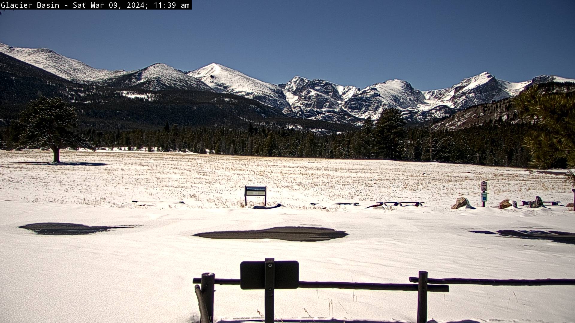
21 hours ago, Chinook said:
I wonder how much snow is just under the trees, just beyond the meadow.

Guessing a couple of feet. Was up around 9-10,000' yesterday and there is a decent snowpack, not great but not terrible.
-
On 3/8/2024 at 5:53 PM, smokeybandit said:
I'm eyeing up that one since I'm flying out of town on Thursday.
As am I. A family funeral on the East Coast. I'm hoping the timing of the storm shifts a bit.
-
13 hours ago, Chinook said:
Snow with a weak disturbance, with winter storm watches/winter weather advisories above 6000 ft
Yawn. (except for the far northeast plains) Even the mountains only get an advisory for this one. Wake me when severe season starts.
-
42 minutes ago, Chinook said:
I think they said 2ft-4ft for the Sierra summits. It has mostly already happened.
Point and click forecast for the middle of Lake Tahoe this afternoon was somewhere between 50 and 90 inches for the entire storm, including 3-4 feet tonight. Wow. That's like 3-4 inches an hour for 12 straight hours.
-
5 minutes ago, katabatic said:
Airbnb…and a wide open wallet.
Pics or it didn't happen. But stay safe!!
-
Cherry Creek Lake is now ice-free (after a low of 11 F this AM), pointing out just how little cold we had in February. Not a top 20 warmest for Denver so far (we could just squeak in depending on temps today and tomorrow), but no sustained cold to keep the ice around. A pair of bald eagles was fishing this afternoon.
-
And this AM it was 44 at 7:30, 31 at 7:40, and 23 by 8:30. We got a neat 2 inches of snow in an hour and a half, bringing my monthly total to 14.1" and season to 36.4", just average for this date. Not bad for a weird mostly warm regime.
Mountain West Discussion
in Central/Western States
Posted
I had the most incredible ski day last weekend with 6 inches of fresh powder and empty trails, now my 4-packs are exhausted so no more this season, but it looks like the places that bet on a strong May will win big-time. Only A-Basin and Winter Park plan to be open beyond 5/12 though...