Snowman92
-
Posts
91 -
Joined
-
Last visited
Content Type
Profiles
Blogs
Forums
American Weather
Media Demo
Store
Gallery
Everything posted by Snowman92
-
Closer to midnight we will have the big picture of track and qpf with little adjustments being made tomorrow for exact snow amounts and small 25mile shifts
-
This storm as big as it will be will end up trending NW by about 100 miles maybe more.
-
This is not model noise. You have GFS refusing to back down with a snowy solution and now almost every model is trending to it. Its not even friday night yet to really nail the track and amounts
-
News media are already saying "blockbuster storm to shut down school districts" Tomorrow the supermarkets will get swarmed lmao
-
It is not too late at all.
-
Wait till at least friday night to write this storm off. Still early for now. This could still be maybe a strip of 3 to 6" for the region which is still fine to close out the winter
-
Big storms go North ! In this case hopefully northwestish
-
There is more than enough time for positive trends, todays storm had trends leading up to the very start of the storm.
-
Still 14 degrees in Bergen. I got about 17" if not a little bit more. Walked the dog and it was knee deep and I am not a small man.
-
Where is the current mix line ? Can someone post the radar
-
I think so , we are literally right at the cusp of the mix line. We are maybe 5 miles north of it so we are getting like 90% snow 10% sleet. Hopefully it drops south a tad bit
-
15 inches in Bergen County, broke my back shoveling just now even if its powdery. Still snowing and tiny bit of sleet mixed in, dropped to 11 degrees
-
@Rjaywhats the link to this mix line radar
-
12 inches in fair lawn, still snowing, about 13 degrees now
-
Still 10 degrees in Bergen. About 6-7" already. Rates are ridiculous at this temperature
-
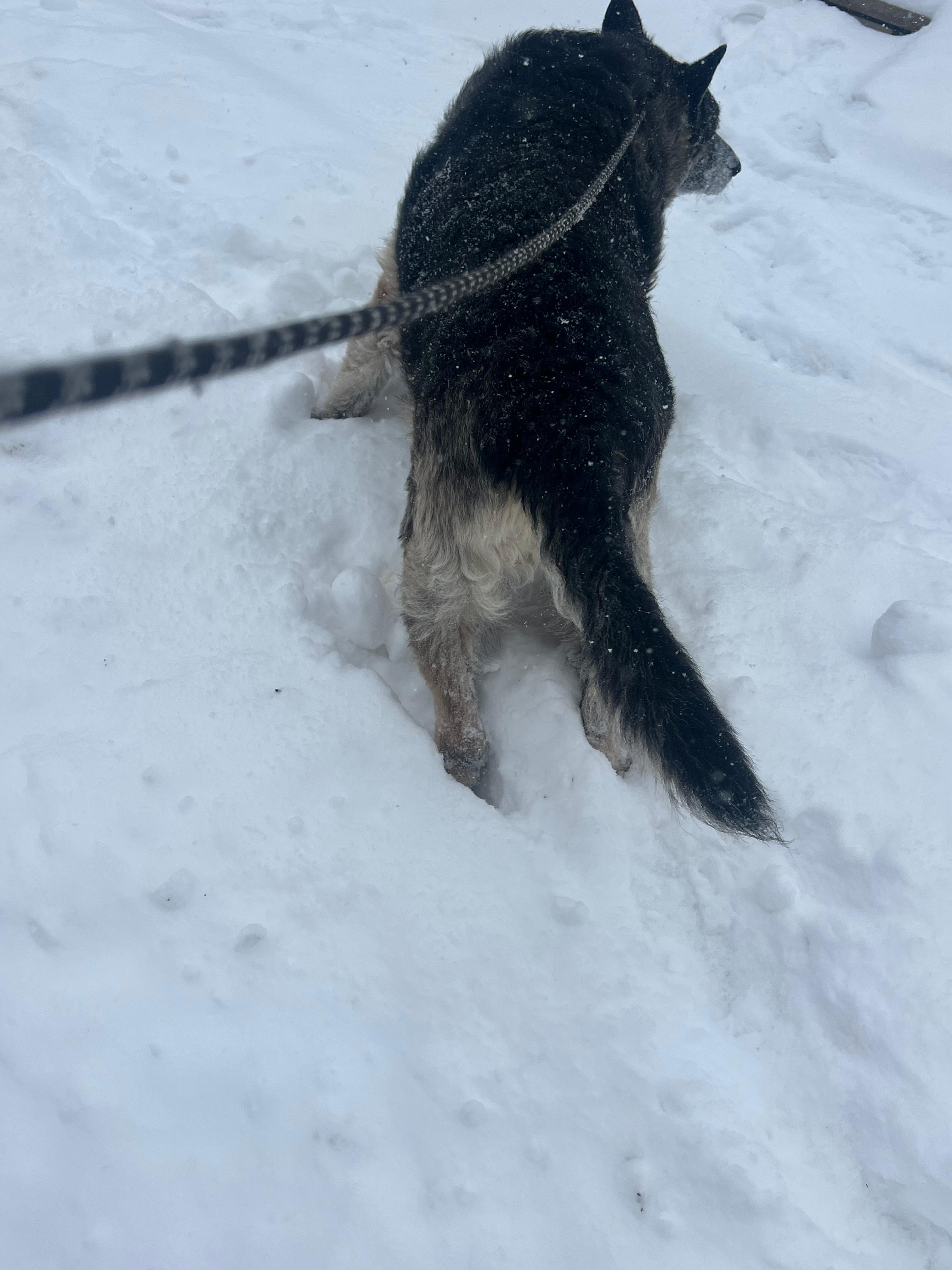
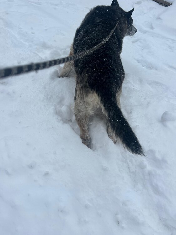
The big dog is drowning in the snow, probably a solid 5" now in fair lawn
-
About 3" in fair lawn right now, coming down like crazy. 10 degrees
-
Extreme Cold, Snow & Sleet: SECS 1/24 - 1/26
Snowman92 replied to TriPol's topic in New York City Metro
Seems like a lot of virga -
Extreme Cold, Snow & Sleet: SECS 1/24 - 1/26
Snowman92 replied to TriPol's topic in New York City Metro
Mixing line seems to be further south then modeled at the moment. Not by a lot but noticeable -
Extreme Cold, Snow & Sleet: SECS 1/24 - 1/26
Snowman92 replied to TriPol's topic in New York City Metro
Seems like mixing line is further south than what models showing based on radar. I could be wrong with my non-professional eye -
Extreme Cold, Snow & Sleet: SECS 1/24 - 1/26
Snowman92 replied to TriPol's topic in New York City Metro
How is the storm currently looking compared to model runs ? -
Extreme Cold, Snow & Sleet: SECS 1/24 - 1/26
Snowman92 replied to TriPol's topic in New York City Metro
Is it too early to nowcast and see where the low is compared to the model runs -
Extreme Cold, Snow & Sleet: SECS 1/24 - 1/26
Snowman92 replied to TriPol's topic in New York City Metro
I agree with most of this. We will need about a day to dig out and salt and we will be fine. This is not a 15" + snowstorm across the full tristate area and every single county, I can understand craze for something like that -
Extreme Cold, Snow & Sleet: SECS 1/24 - 1/26
Snowman92 replied to TriPol's topic in New York City Metro
I know I am 40 miles straight NW of Sheepshead Bay now. Used to live there. Costco here in Bergen was a warzone. I may squeeze out 12" but the craze around the boroughs was not required. Just stay off the roads in the ice -
Extreme Cold, Snow & Sleet: SECS 1/24 - 1/26
Snowman92 replied to TriPol's topic in New York City Metro
All the crazy shopping and people going nuts on the news for about 6 hours of light snow and 4 hours of heavy snow