TalcottWx
-
Posts
28,811 -
Joined
Content Type
Profiles
Blogs
Forums
American Weather
Media Demo
Store
Gallery
Everything posted by TalcottWx
-
Haha, central northern CT.
-
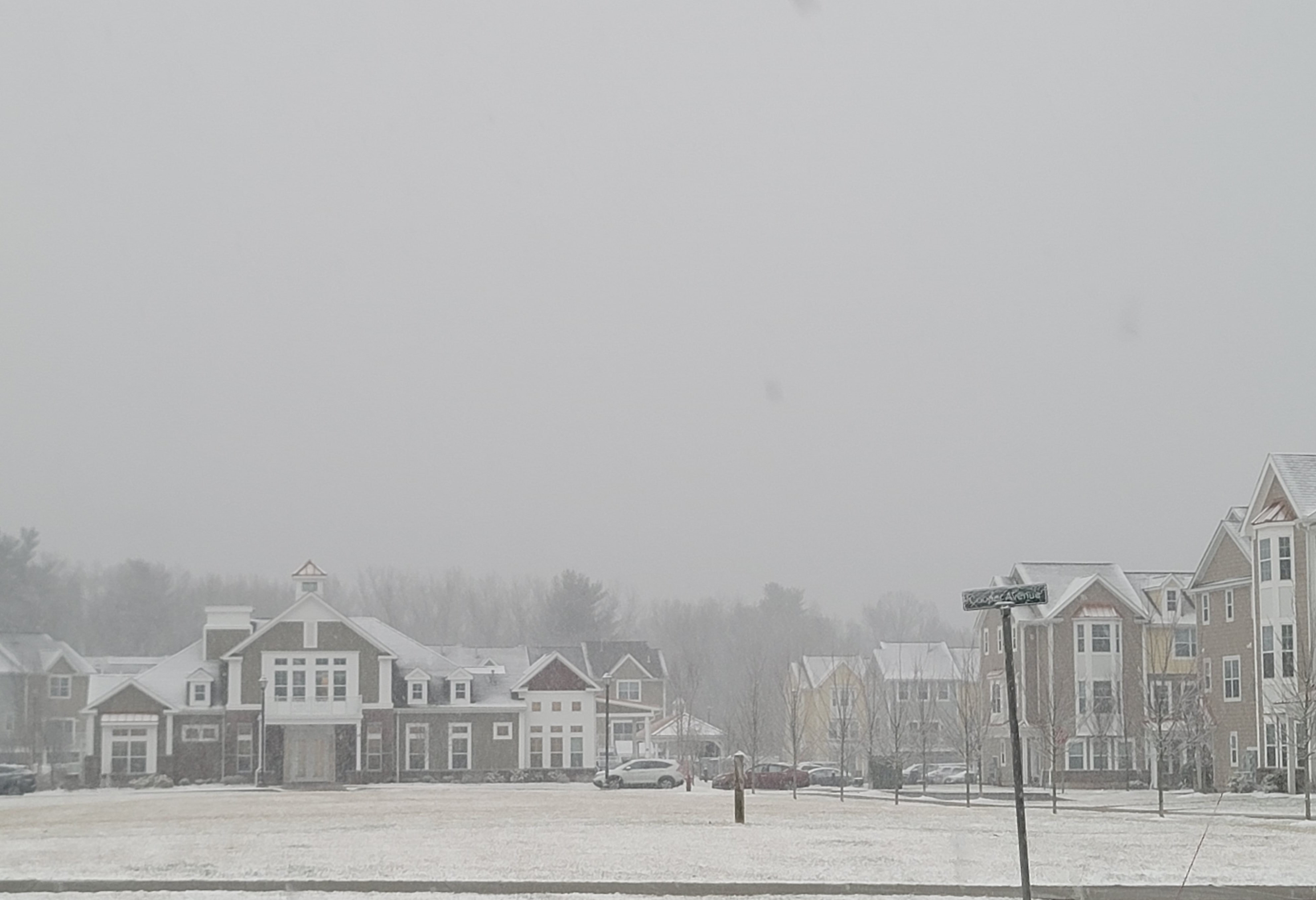
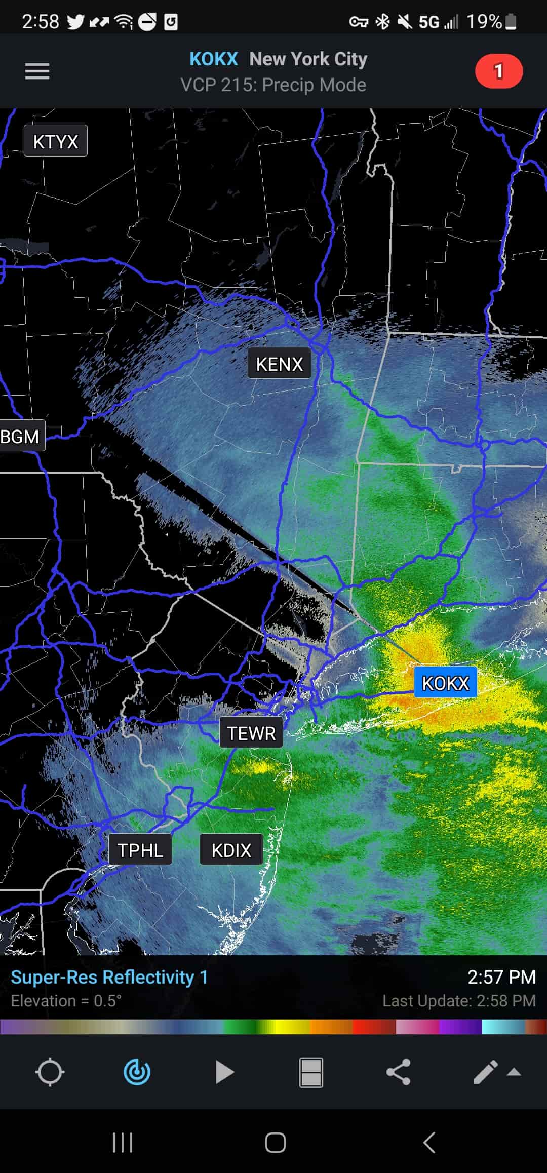
Look what happened to the music too! No visibility of Talcott today. Top of the mountain is about a mile away behind these buildings. Looks like that stuff down over NJ is trying to grow now. Difficult to tell what it's going to do. Have to think the fact banding is trash will limit most snowfall for anyone in SNE. Need radar to improve drastically soon. 32/31

-
Sticking to roads now, timing up perfectly with the dry slot. Only appropriate.
-
Looking at radar, not seeing how this does anything much more here. Looks like a big dryslot and then straight garbage. Don't think we see more than a coating.
-
Biggest weenies deserve biggest weenies
-
1/2sm SN 32/30
-
Always good to add more weenies, shoot me a msg with location and I'll add you in.
-
Kev is the hot dog weenie. I am the eggplant.
-
Your about an hour or so away from being in it and so am I lol
-
It literally looks awful.
-
-
Down to 1/2sm and snowing hard. Sticking to non pavement. 34/29
-
Snow just picked up dramatically with better snow growth. Probably 3/4sm.
-
Yeah, I just want 1-3". If we can't get that....jesus h
-
Danbury about to break into bright blue skies
-
I can see that, but it's not encouraging me considering the proximity to the mix line
-
Snow growth is pretty putrid to begin here, too. I'm usually the positive one, but, yikes.
-
Other than the giant hole to our SW....

-
Moderate snow. Vis dropping fast. Still 35/27
-
Looks like we're going to dryslot in a SWFE on the front end. That is truly the mark of a special winter.
-
Maybe we'll get lucky and get an inch instead of a coating!
-
Radar looks horrific.
-
Snowing in Canton CT.
-
Your political takes make me want to jump into traffic. 34/27 at home. Wife had snow earlier.
-
This is what our mets went with pretty much. They did really well in the event yesterday I thought.