TalcottWx
-
Posts
28,811 -
Joined
Content Type
Profiles
Blogs
Forums
American Weather
Media Demo
Store
Gallery
Everything posted by TalcottWx
-

The event of the season - 2 days of hell!
TalcottWx replied to Go Kart Mozart's topic in New England
-
The event of the season - 2 days of hell!
TalcottWx replied to Go Kart Mozart's topic in New England
I'm having internet issues also. Cool event. Gotta love when things start failing. -
The event of the season - 2 days of hell!
TalcottWx replied to Go Kart Mozart's topic in New England
Praise be -
The event of the season - 2 days of hell!
TalcottWx replied to Go Kart Mozart's topic in New England
Honestly A very sexy way to wake up -
The event of the season - 2 days of hell!
TalcottWx replied to Go Kart Mozart's topic in New England
Lol wow. I lost my weather station last night. -
The event of the season - 2 days of hell!
TalcottWx replied to Go Kart Mozart's topic in New England
Wow, maybe my memory just sucks lol. -
The event of the season - 2 days of hell!
TalcottWx replied to Go Kart Mozart's topic in New England
-5/-25 -
The event of the season - 2 days of hell!
TalcottWx replied to Go Kart Mozart's topic in New England
Haha he was trolling me -
The event of the season - 2 days of hell!
TalcottWx replied to Go Kart Mozart's topic in New England
This is just insane. https://twitter.com/WeatherOwen/status/1621736900150050816?t=_rbiLUPl_D_7RK-ypWX6pw&s=19 -
The event of the season - 2 days of hell!
TalcottWx replied to Go Kart Mozart's topic in New England

-
The event of the season - 2 days of hell!
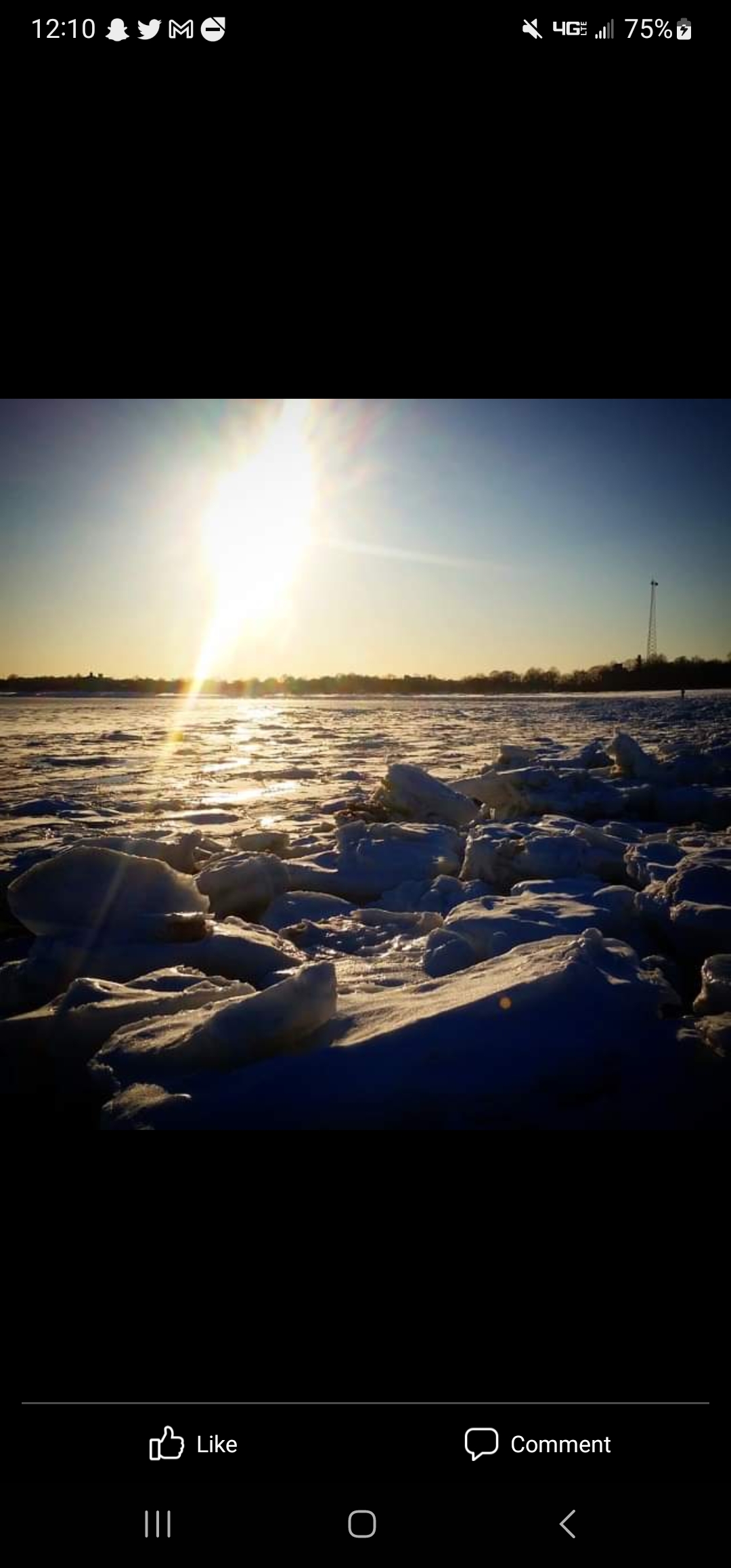
TalcottWx replied to Go Kart Mozart's topic in New England
Sea smoke BOS harbor. Never once seen before. Reminds me of Feb 2015 when there were icebergs big enough to sink the titanic at Carson Beach in Southie -
The event of the season - 2 days of hell!
TalcottWx replied to Go Kart Mozart's topic in New England
OT but E Palestine, OH... 100 car train derailment carrying chlorine (yikes) currently exploding in the middle of a neighborhood. -
The event of the season - 2 days of hell!
TalcottWx replied to Go Kart Mozart's topic in New England
I asked him he said WOOF WOOF -
The event of the season - 2 days of hell!
TalcottWx replied to Go Kart Mozart's topic in New England
Young child from Winsted died when a tree came down on a car in Western MA this evening. Reports of a possible roof collapse in Hartford now. Also hearing of fires across the area and frozen hydrants. It's been a crazy night. -
The event of the season - 2 days of hell!
TalcottWx replied to Go Kart Mozart's topic in New England
-4/-23 Somehow I move to the middle of nowhere and Logan next to Boston Harbor is colder. Whateverrrrr -
The event of the season - 2 days of hell!
TalcottWx replied to Go Kart Mozart's topic in New England
Baby let's hum -
The event of the season - 2 days of hell!
TalcottWx replied to Go Kart Mozart's topic in New England
Is that a 2012 honda -
The event of the season - 2 days of hell!
TalcottWx replied to Go Kart Mozart's topic in New England
-
The event of the season - 2 days of hell!
TalcottWx replied to Go Kart Mozart's topic in New England
Oh, we had a pessimistas posting two days ago about how this was a bussssst -
The event of the season - 2 days of hell!
TalcottWx replied to Go Kart Mozart's topic in New England
This is not a common event. Meh it all you want. -
The event of the season - 2 days of hell!
TalcottWx replied to Go Kart Mozart's topic in New England
I have no idea what the record is but that would be absolutely insane compared to my experiences living there for three decades. -
The event of the season - 2 days of hell!
TalcottWx replied to Go Kart Mozart's topic in New England
9/-16, lights flickering. Limbs and branches Down. Damage. -
The event of the season - 2 days of hell!
TalcottWx replied to Go Kart Mozart's topic in New England
Was just talking about Bridgeport - 7f on HRRR with Mike. He's the best. We started same day. Salt of the earth. I think that's the saying at least. He's tossing weenies far and long. We salute. -
The event of the season - 2 days of hell!
TalcottWx replied to Go Kart Mozart's topic in New England
It's so cold there are quakes in Maine NWS Caribou Tweet We are getting Reports of hearing/feeling "Quakes" across the area. These are Frostquakes also called Cryoseisms. Just like Earthquakes, generate tremors, thundering sensations. These are caused by sudden cracks in frozen soil or underground water when its very cold. #MEwx #Maine -
The event of the season - 2 days of hell!
TalcottWx replied to Go Kart Mozart's topic in New England
Beer? @Damage In Tolland