Jump to content

NVAwx

Members
  • Posts

    28
  • Joined

  • Last visited

About NVAwx

Profile Information

  • Four Letter Airport Code For Weather Obs (Such as KDCA)
    KIAD
  • Location:
    Fairfax, VA

Recent Profile Visitors

The recent visitors block is disabled and is not being shown to other users.

  1. BULLETIN Potential Tropical Cyclone Nine Advisory Number 1 NWS National Hurricane Center Miami FL AL092025 500 PM EDT Fri Sep 26 2025 ...TROPICAL STORM WATCHES AND WARNINGS ISSUED FOR PORTIONS OF THE BAHAMAS... SUMMARY OF 500 PM EDT...2100 UTC...INFORMATION ---------------------------------------------- LOCATION...20.9N 74.6W ABOUT 55 MI...90 KM NNW OF THE EASTERN TIP OF CUBA ABOUT 200 MI...325 KM SSE OF THE CENTRAL BAHAMAS MAXIMUM SUSTAINED WINDS...35 MPH...55 KM/H PRESENT MOVEMENT...NW OR 305 DEGREES AT 9 MPH...15 KM/H MINIMUM CENTRAL PRESSURE...1008 MB...29.77 INCHES WATCHES AND WARNINGS -------------------- CHANGES WITH THIS ADVISORY: The government of the Bahamas has issued a Tropical Storm Warning for the central Bahamas and a Tropical Storm Watch for portions of the northwestern Bahamas. SUMMARY OF WATCHES AND WARNINGS IN EFFECT: A Tropical Storm Warning is in effect for... * Central Bahamas, including Cat Island, the Exumas, Long Island, Rum Cay, and San Salvador. A Tropical Storm Watch is in effect for... * Portions of the northwestern Bahamas, including Eleuthera, New Providence, the Abacos, Berry Islands, and Grand Bahama Island. A Tropical Storm Warning means that tropical storm conditions are expected somewhere within the warning area, within 36 hours. A Tropical Storm Watch means that tropical storm conditions are possible within the watch area, generally within 48 hours. For storm information specific to your area, please monitor products issued by your national meteorological service. Interests in eastern Cuba, the southeast Bahamas, the Turks and Caicos Islands, and the southeastern U.S. should monitor the progress of this system. DISCUSSION AND OUTLOOK ---------------------- At 500 PM EDT (2100 UTC), the disturbance was centered near latitude 20.9 North, longitude 74.6 West. The system is moving toward the northwest near 9 mph (15 km/h). A north-northwestward motion is expected during the next few days. On the forecast track, the center of the system is expected to track across the central and northwestern Bahamas this weekend and approach the southeast U.S. coast early next week. Maximum sustained winds are near 35 mph (55 km/h) with higher gusts. Gradual strengthening is forecast, and the system is expected to become a tropical depression on Saturday and a tropical storm Saturday night or early Sunday. * Formation chance through 48 hours...high...90 percent. * Formation chance through 7 days...high...90 percent. The estimated minimum central pressure based on surface observations is 1008 mb (29.77 inches). HAZARDS AFFECTING LAND ---------------------- Key messages for Potential Tropical Cyclone Nine can be found in the Tropical Cyclone Discussion under AWIPS header MIATCDAT4 and WMO header WTNT44 KNHC. WIND: Tropical storm conditions are expected in the tropical storm warning area beginning Saturday night and are possible in the watch area on Sunday. RAINFALL: The disturbance is expected to produce the following storm total rainfall amounts through Monday morning. Eastern Cuba: 8 to 12 inches, with isolated maximum totals of 16 inches possible. Bahamas: 4 to 8 inches of rain are expected. Hispaniola, Jamaica, and portions of central and southern Cuba: 2 to 4 inches of additional rainfall are expected. This rainfall will likely produce flash and urban flooding. Mudslides are also possible in areas of higher terrain across eastern Cuba, Hispaniola, and Jamaica. An increasing threat of heavy rainfall from this system is forecast over the southern Mid-Atlantic through coastal Georgia which could cause flash, urban, and river flooding into next week. For a complete depiction of forecast rainfall and flash flooding associated with Potential Tropical Cyclone Nine, please see the National Weather Service Storm Total Rainfall Graphic, available at hurricanes.gov/graphics_at4.shtml?rainqpf. STORM SURGE: A storm surge will raise water levels by as much as 1 to 3 feet above ground level along the immediate coast in areas of onshore winds in the northwestern Bahamas. Near the coast, the surge will be accompanied by large waves. SURF: Swells generated by both this system and Hurricane Humberto will affect portions of the Bahamas this weekend, and spread to portions of the southeast U.S. coast early next week. These swells are likely to cause life-threatening surf and rip current conditions. Please consult products from your local weather office. A depiction of rip current risk for the United States can be found at: hurricanes.gov/graphics_at4.shtml?ripCurrents NEXT ADVISORY ------------- Next intermediate advisory at 800 PM EDT. Next complete advisory at 1100 PM EDT. $$ Forecaster Cangialosi
  2. Humberto is now a Cat 3. SUMMARY OF 500 PM AST...2100 UTC...INFORMATION ---------------------------------------------- LOCATION...22.3N 58.1W ABOUT 430 MI...690 KM NE OF THE NORTHERN LEEWARD ISLANDS MAXIMUM SUSTAINED WINDS...115 MPH...185 KM/H PRESENT MOVEMENT...WNW OR 295 DEGREES AT 5 MPH...7 KM/H MINIMUM CENTRAL PRESSURE...962 MB...28.41 INCHES
  3. NHC will initiate advisories on Potential Tropical Cyclone Nine (formerly AL94), located near eastern Cuba, at 500 PM EDT (2100 UTC).
  4. Can you link to the site of the data as it comes in?
  5. Have we gotten the results yet?
  6. Lynchburg, Martinsville, Appomattox, Keysville, Eden, Yanceyville, Danbury, Amherst, South Boston, and Danville
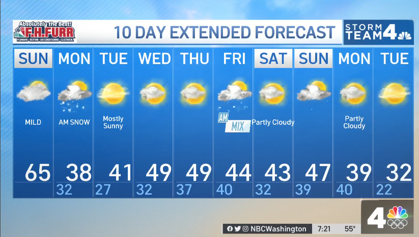
  7. Winter Commuting Hazard coming for the immediate metro area?
  8. Yeaaah this ain't good for the DMV. But enjoy RVA and 757!
  9. Can’t lose what you never had. Bless his heart.
  10. Precipitation is forecast to exit the region on Monday , but river flooding could linger through Monday evening as water slowly drains through the river system. Below normal temperatures and mostly dry conditions are favored through the middle parts of next week. The next chance for precipitation will be Wednesday into Thursday when a coastal low may bring coastal low to the region with wintry precipitation possible. - LWX discussion (2/13/25 @ 2:41 pm) FUJIWHARA!?!
  11. https://www.wpc.ncep.noaa.gov/Prob_Precip/?zoom=LWX
  12. Precip starting to move into the 6-hour forecasts. This is by 7am Tuesday (furthest it goes for now).
  13. Afternoon AFD doesn’t even nibble at QPF or watches. 2:33 PM AFD: LONG TERM /TUESDAY THROUGH SATURDAY/... The upcoming week will feature a very active stretch of weather locally, with multiple opportunities for wintry precipitation. Models are in good agreement that on the synoptic scale, there will be upper level ridging in place in the East Pacific/over Alaska, and then also over the North Atlantic/Greenland, with a broad upper low in place over much of Canada. A strong north-south temperature gradient will reside to the south of the upper low over the United States, with a corresponding strong upper jet extending across the CONUS. Multiple disturbances will both undercut the Alaskan ridge, and ride over the ridge within split flow, then rapidly move eastward across the CONUS. The trend over the past few model cycles has been for more confluence over New England resulting in a slightly suppressed storm track Tue. The energy associated with this feature has also trended more strung out as compared to consolidated. This feature will not be fully sampled over the CONUS for another day or so, so the so called wind shield wiper effect of south/north shifts in model output is expected. The first system will exit by 12Z Wed with only a short break in precip before the next precip event arrives midnight Wed night. The primary low pressure system is fcst to track across the upper OH River Valley with guidance indicating a prominent warm nose a mix to rain or all rain more likely. Areas west of the Blue Ridge could see another icing event with this system. A third and more complex system may impact the region next weekend with all types of wintry precip possible. Temps look to stay below normal for daytime highs and near normal for nighttime lows into late Feb aside from residing in the warm sector of any cyclones.
×
×
  • Create New...