

Jt17
-
Posts
363 -
Joined
-
Last visited
Content Type
Profiles
Blogs
Forums
American Weather
Media Demo
Store
Gallery
Posts posted by Jt17
-
-
5 minutes ago, MJO812 said:
Nam doesn't even have a dry slot tomorrow night. Just pivots near the area.
Have the whole storm totals?
-
Just now, Sn0waddict said:
Models have been unreliable recently and upton have gotten burned bad in the past predicting high amounts. So I could see why they would be cautious.
I hear you, but usually there's a model or 2 in a different camp and the mets go with model majority+climo and the different camp was onto something. No matter what camp you choose it's 12"+ the 6" just looks out to lunch this close to game time imo.
-
6-12 inch storm watch for NYC is starting to seem a little silly - it's been at that for nearly 10 hours and I think plenty of data has come in for Upton to bump that figure up and set a winter storm warning.
-
 1
1
-
-
3 minutes ago, jm1220 said:
No. If this comes together right it can perhaps make it to 20" but the top 3 are all over 2 feet.
If it makes it to 21" it's top 4, so there is a somewhat statistically reasonable chance of this albeit small, but top 3 is around 25" and that seems very unlikely lol
-
4 minutes ago, USCG RS said:
Neither the Euro nor the NAM are giving in. Interesting. In these situations, the NAM tends to win tbh.
I said NAM and win in the same sentence.. yeah.
NAM is prob a little east and Euro a little west. Take a blend and you might have a better idea of the final map. That being said save for the far end of Long Island most of the subforum is in a good spot for 12-20+inches (and NYC is sort of smack in the center of both camps, fwiw)
-
1
-
-
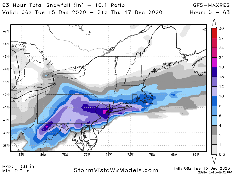
1 minute ago, MJO812 said:
15 inches for NYC on the GFS
It snows until Wednesday
.thumb.png.9eef3a018a2708a71c0f9e4af64cc1f7.png)
And this is the tamest total of any model - wonder what the para shows!
-
2
-
-
1 minute ago, MJO812 said:
I'm with you on the amounts. I think 8-12 is a good call for NYC unless banding sets up like the Para.
Euro, NAM and Para are all 15+ for nyc bud, seems like you're just keeping out excitement in check lol!
-
2 minutes ago, weatherpruf said:
These maps are always way overdone right? Otherwise people will be in for a shock.
This isn't even a kuchera map with ratios. I'm sure that would look even more nuts!
-
Just now, Snowlover11 said:
regular gfs looks nothing like that.
That's the regular GFS... you sure you aren't looking at an old model run... Plus the seemingly more accurate GFSv16 says this underdone...
-
3 minutes ago, weatherpruf said:
Models IMO tend to under estimate the warmth, at leas that's what I seem to recall.
He was referring to the short term models like the NAM that haven't come into range yet and usually have a warm and amped bias. The globals aren't showing the same thing.
-
Just now, NJsnow89 said:
Hopefully it’s right
It does seem that the radar will fill out NYC and East first before precip swings into north and central NJ to fill in the dry slot. Depending on how much sleet there is in NYC area East they might surprise some folks with higher totals than expected.
-
1 minute ago, RU848789 said:
is this possible that the HRRR has 5 or more inches left?

Does that show 10 inches left in NYC? That would be nuts.
-
1
-
-
1 minute ago, JoshSnow said:
This storm is far from over as the low starts pivoting due east, the ratios will come back and CCB will kick in. We could get another 4-6 inches just from that. You guys give up too quick! watch the radar fill in the next hour or so! Any sleet you guys are getting will turn to snow
Agree... this was literally exactly as predicted; in fact the dry slot doesn't look nearly as bad as I thought it would!
-
1
-
-
3 minutes ago, wxman said:
This was 2 hours ago...
-
2 minutes ago, mikem81 said:
Its hard to take you seriously with the "super weenie" title. We all know what you want to happen. Need to look at actual observations at this point and see what is going on with HRRR
I find it encouraging that it is keeping the LP right on the coast of the CH Bay at 0Z tonight as opposed to 25 miles inland, but we shall see......


Take it easy man - without MJO812 half of the useful content would disappear from this forum.
-
3
-
 1
1
-
-
Just now, nycsnow said:
15z hrrrrr looks good so far all snow through 01z
Can you post the maps?
-
2 hours ago, Allsnow said:

Am I missing something? The most recent runs of the euro and gfs show 15+ inches for nyc with what I believe was no mixing issues. I understand the nam looks really messy, but the assertion that everything has trended to much smaller snow totals is simply false. The two major global models most recent runs say a huge storm is still possible.
-
1
-
.png.da8e28d9b67f671e7f898ac9c87a317f.png)

Major Nor'easter near blizzard (6"+ most of our area-best chance 20-30" north of I78 in ne PA, nw NJ, se NYS)-ice-rain-power outage NYC subforum late Sunday Jan 31-early Tue Feb 2.
in New York City Metro
Posted
I think Kuchera amount for nyc is prob closer to 24 inches. It's hard to tell due to the low resolution of this map, but I could be wrong.