

ORH_wxman
-
Posts
89,103 -
Joined
-
Last visited
Content Type
Profiles
Blogs
Forums
American Weather
Media Demo
Store
Gallery
Posts posted by ORH_wxman
-
-
Those winters give a pretty cold picture nationally, especially in the Northern Tier, definitely related to the gradient you have mentioned:

Yeah. No guarantees it works like that this year though of course. '05-'06 had several SW flow events but it also had the Feb '06 coastal. We already know about '00-'01 and its several coastal storms. '83-'84 had several SW flow events (esp in Dec '83)...'74-75 and '70-'71 had a ton. '62-'63 not so many, but one or two.
-
What other examples do we have of cold ENSO/-QBO/-PDO?
How do winters like 74-75 and 83-84 compare?
'07-'08, '05-'06, '00-'01, '83-'84, '74-75, '70-'71, '62-'63, '56-'57.
-
Even with a weaker la nina and a neg nao Will? I thought weak la ninas were supposed to be great for coastals.
-QBO and cold ENSO events tend to have more SW flow events than other winters according to my research looking back. Obviously it doesn't mean there can't be coastals though. '00-'01 was an example with a lot of coastals.
-
That's an awesome pic. We had some great looking storms last year. Very classic mid-level features on those three of 12/26, 1/12, and 1/27. I have a feeling we'll see a lot more SW flow events this coming winter.
-
Will, maybe you could use the one from Jan 26-27 also, I remember some rotation was detected a few miles south of here on radar just as the second part of the storm got going and there was loud booming thunder and vivid lightning along with thundersleet that eventually changed to thundersnow. It actually did feel like it was hailing as the sleet was marble size and I actually think real hail was reported with this storm (weird to have hail and sleet together along with a possible tornado in a winter storm lol.)
1/27 was a really fun storm. It was the fastest of the 3, but it was exceptionally dynamic.


-
I hope someone at the conference presents a study on Jan 12th, perhaps the best storm variant wise of my life. The ML collapse and consolidation shows almost tornado physical properties
I'll be showing all 3 storms at some point in my presentation.
-
I figured something was amiss even though it was a terrible season...
If you see a 0.0 total with a "z" next to it, it means they have no data for that month. The old Gardner coop was pretty good but they still have a few scattered in there.
-
lol 1994-1995 15.60" total snowfall...
They are missing February 1995 in that total which of course was the only month we got a big storm. I think the real total was probably something around 30-34 inches. Still horrendous though.

-
Thanks!
bookmarked
That's probably a great place to look up how YBY might have done in past winters. The coop was at 1,110 feet so not that much higher than you...and of course the next town over from you. Its too bad they no longer take records there. Ashburnham is decent for nowadays, but its definitely a good tick east of you...Gardner was right there.
-
Will, is there a site that has the co-op data from Gardner, MA, etc?
Scroll down to "monthly snowfall" on the left and it will give you the snowfall for each season by month
http://www.wrcc.dri.edu/cgi-bin/cliMAIN.pl?ma3052
As always keep in mind that a few of the years have incomplete data, but overall their records are pretty good. You can get daily data from the Utah state climate site.
-
Probably '99-'00. I think before that it was '88-'89.
edit: actually I'm not sure what you are asking. If you are asking when was the last time that one SNE station failed to get 8", then it was probably '09-'10 at BDL.
The question I answered was the last time that all 4 stations failed to get an 8" event.
'99-'00 was a miserable season and seems to fly under the radar when we talk about putrid winters. Just god-awful that winter was.
-
Scott... Pertaining to every year... does at least one major station in SNE see a 8+ snowstorm? 12+? Whens the last year where a major station in SNE failed to record at least an 8+ snow storm?
Probably '99-'00. I think before that it was '88-'89.
edit: actually I'm not sure what you are asking. If you are asking when was the last time that one SNE station failed to get 8", then it was probably '09-'10 at BDL.
-
Took this one on Feb 7th....we actually added 3-4" to this the next morning. That was the high point of the season the next morning when we had about 38" on the ground. In this pic, we had about 34" on level ground.

-
when did you "officially" have bare ground in the spring?
We lost snow in the open areas by mid March but the woods held onto snow pack until mid April. But if you were doing it by "official" guidelines, then we were down to nothing by mid-March. Those two huge torching rainstorms killed us. I still had over 20" on March 1st.
-
-
LOL, I think Messenger probably got blue-balled the worst, considering about 15 miles nw of him got hit hard.
I'm humble because I had almost no business getting the snow I got, considering the storm track on some of these. No bragging here, because the next one could easily turn into a nude game of twister for Ray, while I'm listening to raindrops bouncing off my windows.
Yeah and he didn't get the good surprise either than Phil got on Jan 8th. The one where he had like a trace and Phil had 5"+.
Than 10 miles NW everyone got 2-3". -
We gotta get you a good one for this winter. You were a good sport during this winter. Obviously you're happy to get good storms and you did get nailed by the 12/20 storm, but I'm sure the posts of Kevin's snowbanks while it was raining were a little disappointing.
Eventually we'll have another '04-05 where Phil's snow pack is twice that of Kevin's like it was that winter.
-

yeah that was a true testament to weenie-ism. i was in the hospital...my son was being born...and i'm looking at model runs on my phone that are reverting back to a good cape-scraper.
10.5" IMBY - but just missed the 13/14 that fell in harwich/orleans area
That was a great storm down there. A huge bust in the positive direction. I don't even think more than 3" was forecasted anywhere down there 6 hours before the storm. Even Plymouth county got whacked pretty hard with warning criteria.
-
Phil's private little weenie band.
That event sort of turned the worm for us last winter. We had blown a couple of golden chances...and we thought we were going to completely miss that one too but we ended up getting a surprise 2-5" snowfall over those 2-3 days...enough to give us a White Christmas when it was looking bleak. Once we had that positive bust, we managed to go on quite a roll right through early February.
-
-
LOL, oh duh...I was thinking of Jan 12th that nailed him.
Yeah they got like 25-30" out that way with more on the spine in 1/12.
1/12 was the best storm for our region as a whole. 1/27 though was really cool, it had some extremely intense snowfall rates for a few hours. 12/26 was a bit disappointing though I can't complain overall since I still got 12" in that storm...many others had single digits.
-
Oh yeah for us it hurt other than near BOS and points sw, but I was thinking more in the broader sense of the northeast in general. 12/26 wasn't compact in that sense, but it had the perfect ingredients in the mid levels to hammer NJ and up into Pete's area. It kept that core of precip very close to the low center, which is what I was thinking of.
I think you had to go more out near the NY border to get the good stuff in W MA. That dryslot even got Mt. MRG.
...FRANKLIN COUNTY...
  HEATH                  8.0   339 PM 12/27  TRAINED SPOTTER
  CHARLEMONT         	7.0  1100 AM 12/27  TRAINED SPOTTER
  WHATELY                4.5   132 PM 12/27  TRAINED SPOTTER

...HAMPDEN COUNTY...
  BLANDFORD              9.5   812 AM 12/27  HAM RADIO
  WESTFIELD              6.8   200 PM 12/27  MEDIA
  SOUTHWICK              6.8   847 AM 12/28
  EAST LONGMEADOW        6.5   830 PM 12/27  HAM RADIO
  CHICOPEE           	5.3   811 PM 12/27  HAM RADIO
  WEST SPRINGFIELD   	5.0   829 PM 12/27  HAM RADIO
  AMHERST                3.0   839 PM 12/26  HAM RADIO
  AGAWAM             	2.8   756 PM 12/26  HAM RADIO
  SPRINGFIELD            2.8   737 PM 12/26  HAM RADIO

...HAMPSHIRE COUNTY...
  PLAINFIELD            12.5   235 PM 12/27  TRAINED SPOTTER
  CHESTERFIELD       	7.5   727 AM 12/27  HAM RADIO
  WORTHINGTON            6.0  1045 PM 12/26  SPOTTER
  WESTHAMPTON            6.0  1100 AM 12/27
  AMHERST                5.5  1210 PM 12/27  GENERAL PUBLIC
  GRANBY             	5.0  1115 AM 12/27  EMERGENCY MANAGER
  WARE               	4.1   828 PM 12/27  HAM RADIO
-
The DS in many of the storms strangely always ended up pretty close to PVD-TAN-PYM...give or take 10 miles or so. Each storm did track close to the Cape, but very similar placements with the DS.
What compact bombs we had. I normally don't like seeing models come so close with the DS, but those mid level low ended up developing rapidly and pinched all that off. Great inflow getting caught up in these circulations as well. This was the winter of mid level lows. Dec 26th, Jan 12th, Jan 21st, and Jan 27th all were nice compact mofos.
12/26 had a broader circulation than the other two which hurt us I think. Also having it be further west hurt...and developing a little bit too soon. BOS was hammered by the CF enhancement though in that one so ironically it was their best storm despite that one having us in the least favorable mid-level location.
-
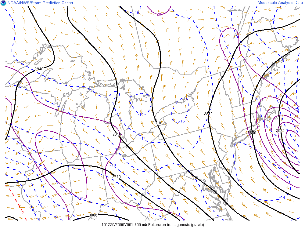
You can see how compact the mid-level centers were....and we knew that based on their track that any dryslot would have a very hard time penetrating far past the south coast. You could clearly see it get swallowed up very quickly on this series of radar loops. I remember not being worried about it at all but some were freaking out, lol.


 s
s 
New England snowstorm memories.
in New England
Posted
That's a classic looking loop...where you see the highest cloud tops to the NW of the heaviest precip except in the inflow region where its nearly on top of it...actual convective precip.