JTrout
-
Posts
152 -
Joined
-
Last visited
Content Type
Profiles
Blogs
Forums
American Weather
Media Demo
Store
Gallery
Everything posted by JTrout
-
-
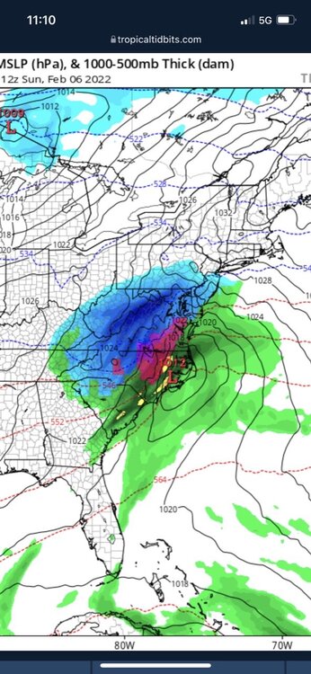
One time!! Tired of being in the LSV snow hole this winter.
-
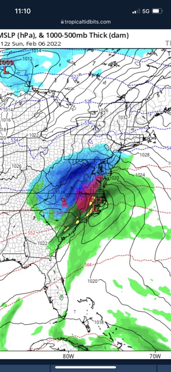
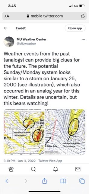
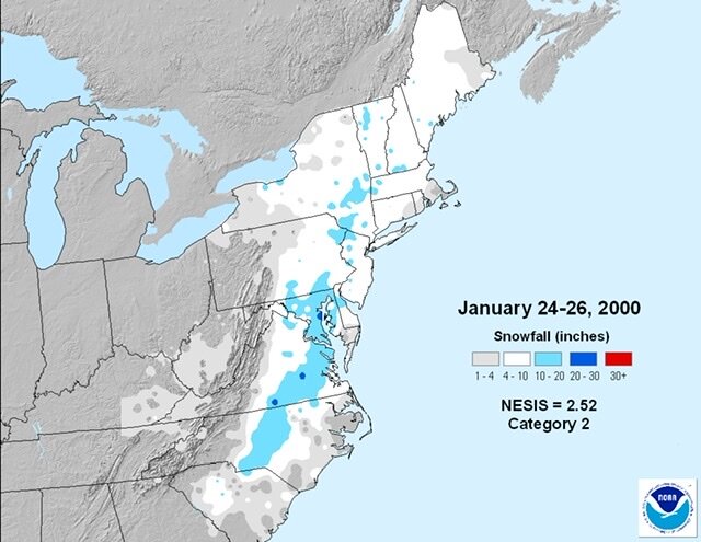
Elliot from Millersville compared the potential to the Carolina Crusher from 2000. I added that snowmap for comparison. Maybe this one can be the Keystone Crusher!
-

Central PA - Winter 2020/2021 Part 2
JTrout replied to MAG5035's topic in Upstate New York/Pennsylvania
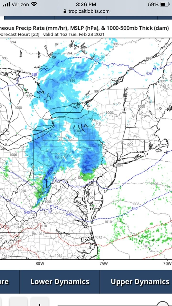
Is this anything to talk about for tomorrow. Possible squall line or something?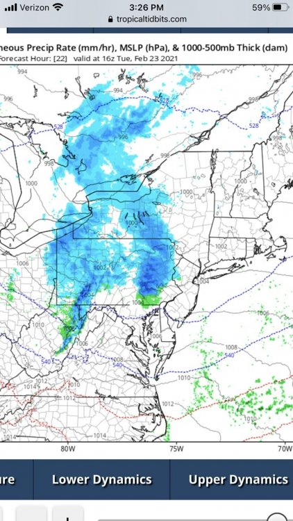
-
Central PA - Winter 2020/2021 Part 2
JTrout replied to MAG5035's topic in Upstate New York/Pennsylvania
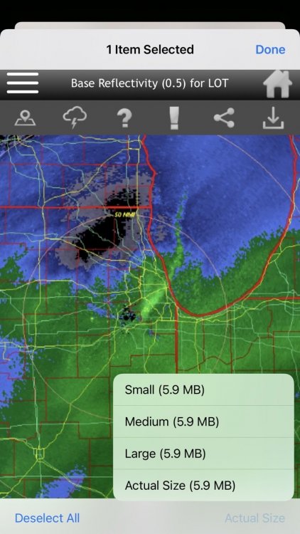
Mine does the same, on my phone I just switch it to the large size, not actual size. Then it works. -
Central PA - Winter 2020/2021 Part 2
JTrout replied to MAG5035's topic in Upstate New York/Pennsylvania
-
Central PA - Winter 2020/2021 Part 2
JTrout replied to MAG5035's topic in Upstate New York/Pennsylvania
Moderate snow in Etown, first flakes about 30 minutes ago. -
Central PA - Winter 2020/2021 Part 2
JTrout replied to MAG5035's topic in Upstate New York/Pennsylvania
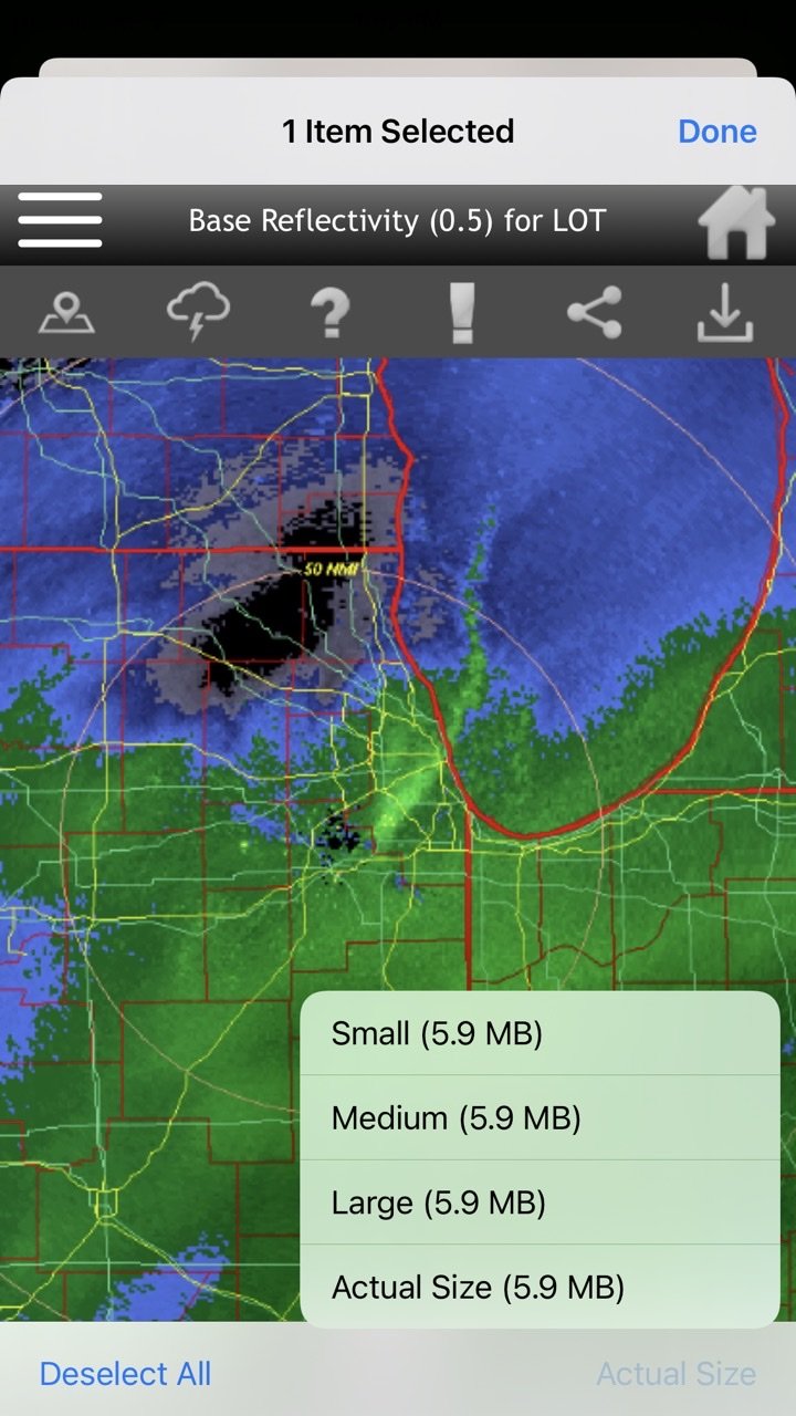
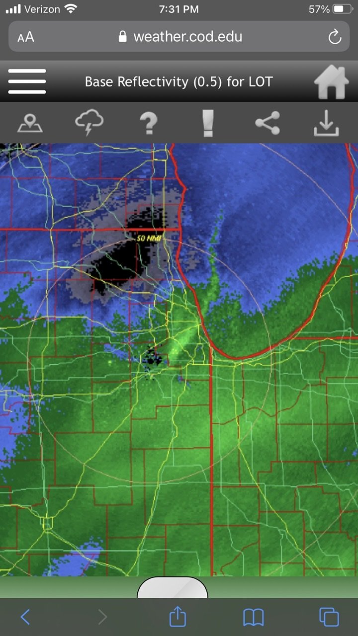
I would love to know what is happening under that lake effect band heading south on Lake Michigan and the southern storm heading north into the same area. I am assuming insane rates. Never seen that before!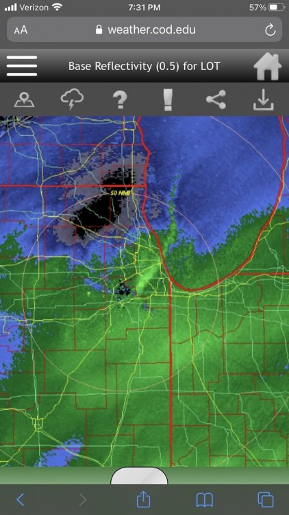
-
Central PA - Winter 2020/2021 Part 2
JTrout replied to MAG5035's topic in Upstate New York/Pennsylvania
Good to hear, hopefully it holds for its journey through the LSV -
Central PA - Winter 2020/2021 Part 2
JTrout replied to MAG5035's topic in Upstate New York/Pennsylvania
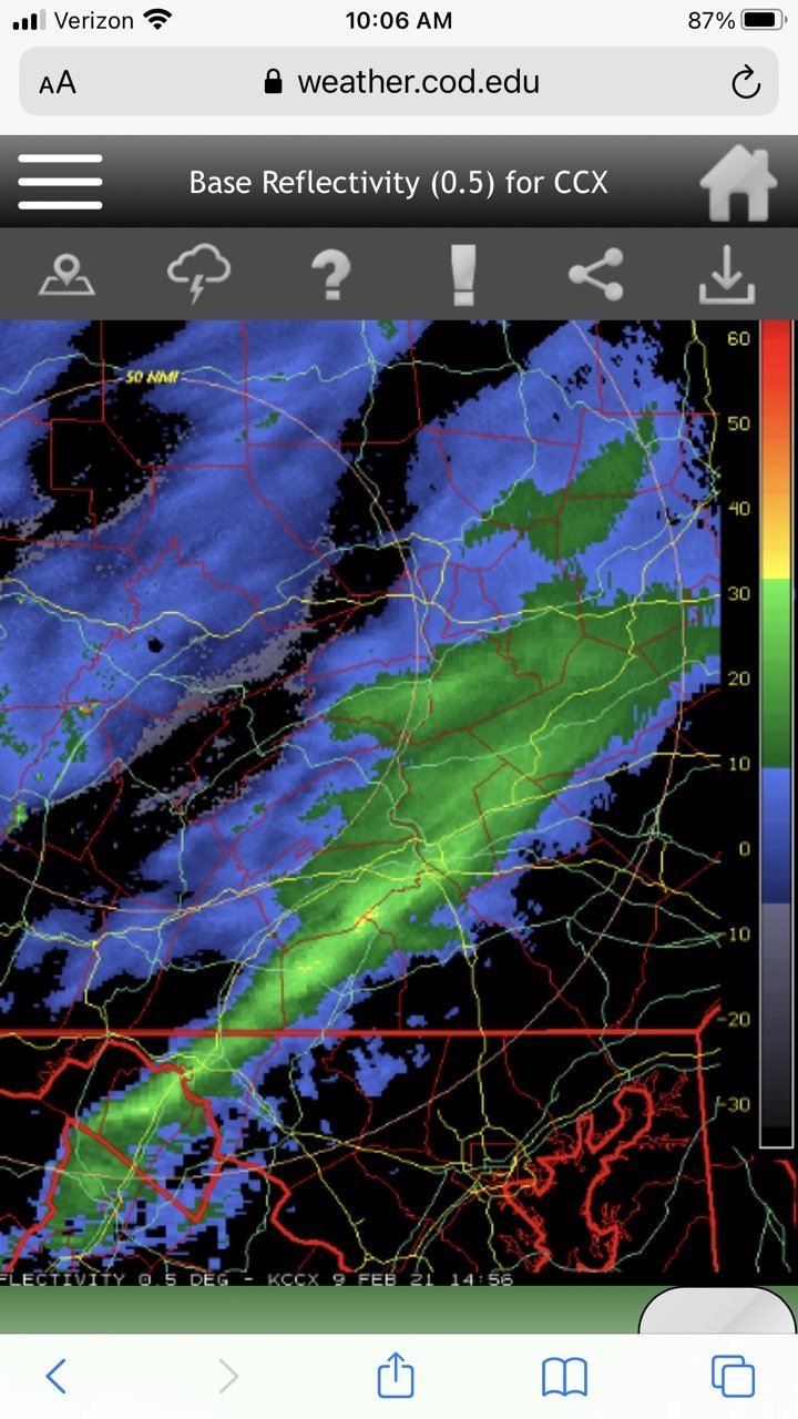
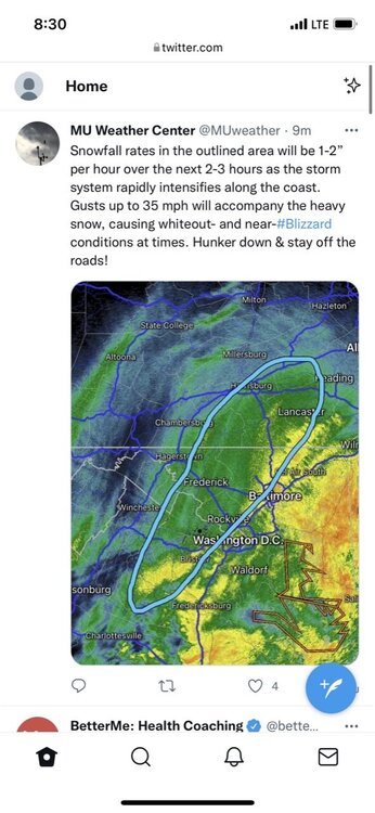
This band doing anything for anyone? Looks a little mean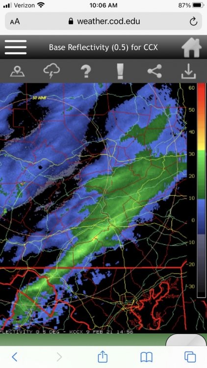
-
Central PA - Winter 2020/2021 Part 2
JTrout replied to MAG5035's topic in Upstate New York/Pennsylvania
I was just going to ask someone if we have a chance at anything frozen for Friday... -
Central PA - Jan 31 to Feb 2 Winter Storm
JTrout replied to MAG5035's topic in Upstate New York/Pennsylvania
10.75 inches NW of Etown, 29.5 and mod snow. -
Central PA - Jan 31 to Feb 2 Winter Storm
JTrout replied to MAG5035's topic in Upstate New York/Pennsylvania
It sucks looking at the radar, just feels like we are getting screwed in the hole. Then I look outside.....mod snow. Feel okay again! -
Central PA - Jan 31 to Feb 2 Winter Storm
JTrout replied to MAG5035's topic in Upstate New York/Pennsylvania
Snow starting to come down pretty good NW of Etown! Sleet mixed out 5 minutes ago. -
Central PA - Jan 31 to Feb 2 Winter Storm
JTrout replied to MAG5035's topic in Upstate New York/Pennsylvania
Thank you!! -
Central PA - Jan 31 to Feb 2 Winter Storm
JTrout replied to MAG5035's topic in Upstate New York/Pennsylvania
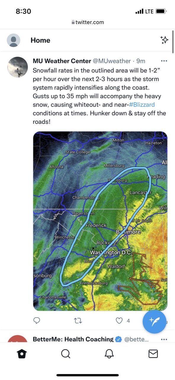
Mod sleet just started 10 minutes ago, what do you guys use to see the sleet line? Is it advancing still or should we switch back to snow soon in the LSV? -
Central PA - Jan 31 to Feb 2 Winter Storm
JTrout replied to MAG5035's topic in Upstate New York/Pennsylvania
Starting snowing in Etown 5 minutes ago! So it begins.... -
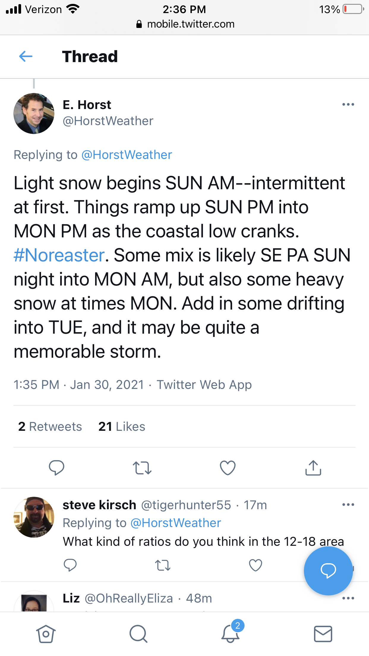
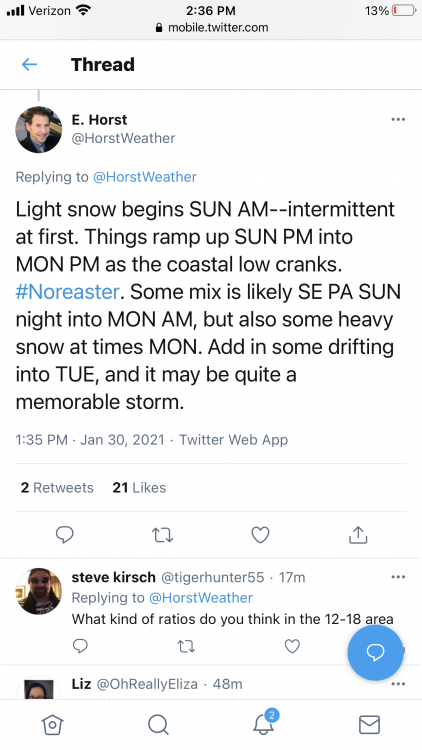
My favorite part of the Horst quote is “it may be quite a memorable storm”
-
Alright storm is over, what's next....anything look interesting in the next week to anyone? Looks like we have a shot to keep the snow around till x-mas.
-
Same, he has me in the 12-18. I wouldn’t bet against the guy, makes me feel better.
-
Agree on the smell! Nothing sweeter
-
Good luck today everybody!! Rare event for 12+ snow for maybe 2/3 of the state.
-
Lancaster show 2 inches to the south and almost 30 at the NW tip. Some gradient on the nam 3k....geez. 30 mile shift and it’s boom or bust for my county if this verified.
-
Just checking haha.
-
Hold on, you are saying you won’t be up all night tomorrow for the actual storm? That’s crazy talk after the past week.