
natbright
-
Posts
47 -
Joined
-
Last visited
About natbright

-
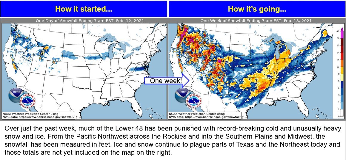
Sometimes I feel like the weather is mocking me image is from weather prediction center Twitter account. I mean it snowed in Southern Louisiana but not here?
-
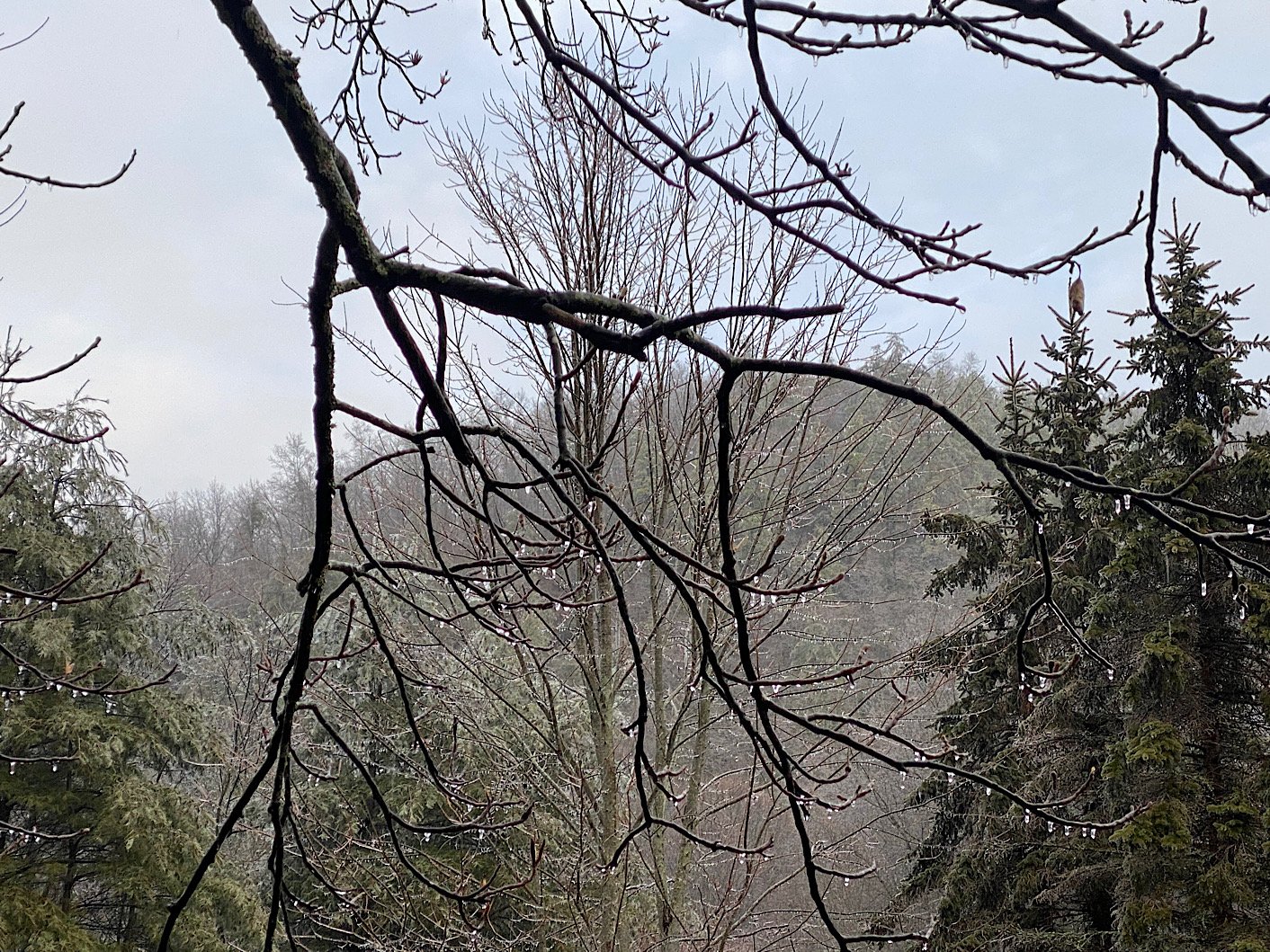
I think it was mostly rain where I am. Some ice on the trees. Is it safe to say that I won’t have anymore ice today? I am not a fan.

-
Did y’all see the mesoscale discussion? https://www.spc.noaa.gov/products/md/md0061.html Mesoscale Discussion 0061 NWS Storm Prediction Center Norman OK 0908 PM CST Sat Feb 06 2021 Areas affected...Southern Appalachians and Vicinity Concerning...Heavy snow Valid 070308Z - 070715Z SUMMARY...Heavy snow, with rates exceeding 1 in/hr, expected this evening over the southern Appalachians, perhaps changing to freezing rain in a few spots after 04z-05z. DISCUSSION...Recent mesoanalysis shows an amplifying mid-level short-wave trough approaching the region, with strong/broad southwesterly deep-layer flow and large-scale ascent occurring ahead of this system. Regional radar shows a broad precipitation shield that continues to expand and overspread the area. As low-levels of the atmosphere continue to saturate, surface temperatures have fallen several degrees in the past few hours, with areas in/near the higher terrain falling below freezing. Consequently, the precipitation type across eastern portions of the Carolinas has switched to snow, with some locations reporting moderate snow. As the amplifying short-wave continues its approach, several more hours of broad ascent and renewed precipitation development is expected. Presently, it appears frozen precipitation types should be confined to the higher terrain regions in proximity to the southern Appalachians. Snowfall rates near 1 in/hr can be expected initially. Forecast soundings indicate very strong low-level warm-air advection (50 kt flow in the 750-700 mb layer) that may result in a period of mixed precipitation. Should this occur, some locations could also experience freezing-rain rates near 0.06 in/3-hr after around 04z-05z.
-
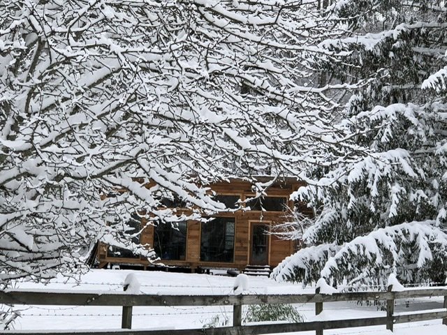
Still snowing and about 2.5 inches here. 28 degrees. Nice blanket of white.
-
That’s one of my favorite things about snow. It’s like the absence of sound. Nice for a migraine, too. I hope you feel better soon.
-
About an inch and snowing lightly. 30 degrees.
-
Moderate to heavy snow with nice size flakes. Ground is turning white. Beautiful. I was worried it wasn’t going to snow till dark. I don’t care as much about it sticking; I really love watching it fall.
-
Snow stopped for a little while but now it’s really picked up quite a bit. 33 degrees here
-
Light snow here in Cruso
-
38 degrees and very cloudy.
-
I am right before camp hope at about 3300.
-
I’ll be ok with that it’s nice to be at the higher end of the map.
-
I don’t have snow. I have sparkly snow dust and crazy loud wind. You can hear it rushing between the mountains. Kinda sounds like a hurricane without the rain.
-
Nothing in Cruso but I am not expecting anything at all. I hope all of you cash in, though! Post pictures
-
It’s raining here. Must have gotten more snow late last night/early morning but it’s thick slush now. Looks like the nw flow areas are going to get hammered tomorrow. Good luck! I’ll try not to be too envious