
PowderBeard
-
Posts
1,961 -
Joined
-
Last visited
Content Type
Profiles
Blogs
Forums
American Weather
Media Demo
Store
Gallery
Posts posted by PowderBeard
-
-
1 hour ago, Lava Rock said:
Too bad rn for saturday.
Bring it. I'm ready for the ice on Little Sebago, Panther, and Crescent to be gone.
-
Still pounding snow, gusting into the 40s, no power since 6pm. Someone in Maine might hit blizzard criteria.
-
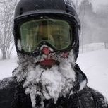
2"+ an hour and gusting to 35-40. Awesome scene out there. Driving was brutal though.
-
 3
3
-
-
4 minutes ago, Damage In Tolland said:
Great area. My wife and I got married there and most of the town is >1,200'. The place we got married was ~1,500'.
-
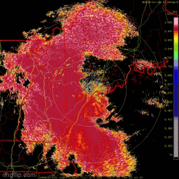
Current radar looks impressive and there is a lot more convection than modeled.
-
1
-
-
We deep.
-
4
-
-
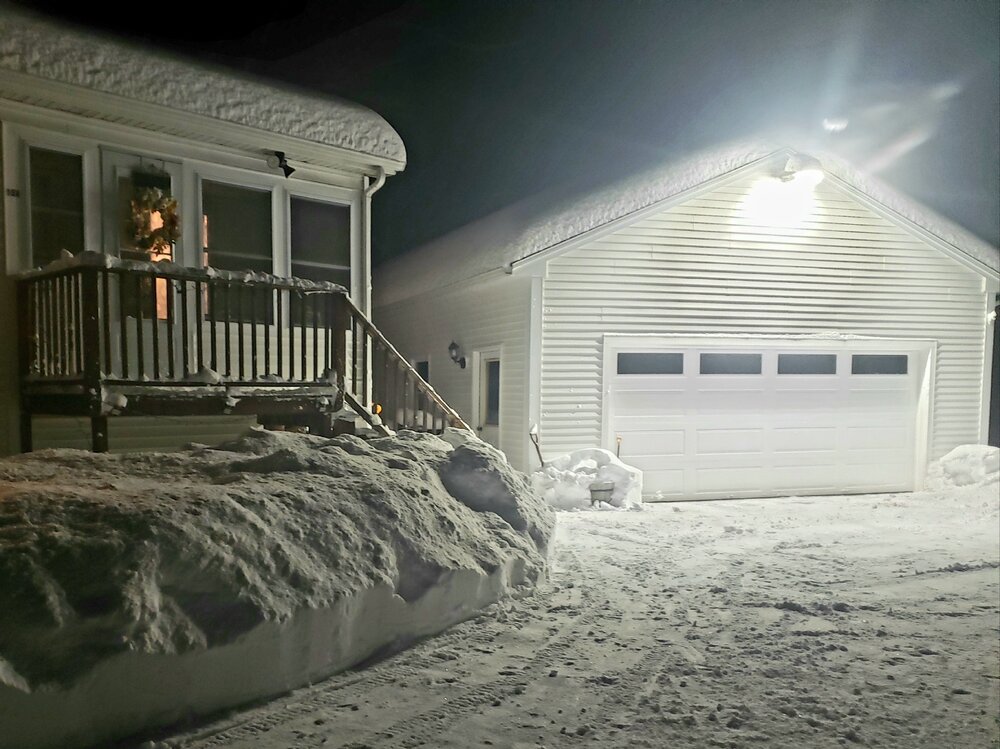
Solid 8" out there and still dumping.
-
1
-
-
Just hit -15, wow.
-
2
-
-
On 1/31/2023 at 11:45 AM, dryslot said:
Heavy, Heavy Pack.

Deep winter, at least for this transplant. I believe we are at ~36-37" in the past two weeks now.

-
1
-
-
Another nice squal just rolled through. Hopefully the sun takes care of the 4+" inches on the driveway.
-
1
-
-
45 minutes ago, Lava Rock said:
4" of pure pixie dust.
Sent from my SM-G981U1 using Tapatalk
Nice surprise. I was only expecting an inch or so.
-
1
-
-
14 hours ago, NW_of_GYX said:
It’s industry wide. Records set across NE over the last 2 weekends. The demand has never been higher which I think speaks to a hangover effect from COVID demand on outdoor access and the marketing strength (especially social media) of the outdoor industry as a whole. Everyone wants to be like their favorite instagram influencer. Season pass sales have been very strong from what I’m told and the value of an epic or ikon pass is still very good for your average 5-10 day a year skier.
It was an extra 30 minutes to get home from BMOM yesterday due to traffic on rt 26. Almost all out of state plates too. Im assuming the recent storms got people to come up.
-
2
-
-
Switched over a little before 1:30. Finished up with about 6.5".
-
3
-
-
Some of the heaviest snow I have ever seen, all cotton ball sized flakes. Definitely over 6" now.
-
3
-
-
Wind and 2" per hour stuff for the past hour. Just measured a hair under 5.5".
-
1
-
-
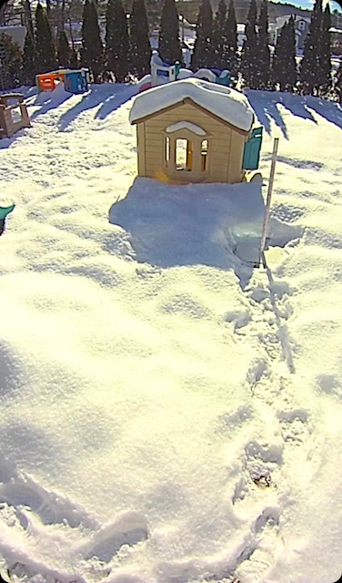
Temp actually dropped to 21* and I'm eyeballing about 4" on the cleared part of the deck.
-
1
-
-
It's like a shield, for now.
-
6 minutes ago, dryslot said:
Its pretty clear the progression is getting shunted for now.
If the heavy stuff in the Laconia to Sanford area moves on up it's going to be wild. Hell it's cranking now.
-
1
-
-
About 1.5" down, starting to ramp up, 22*, and the radar is filling in.
-
19 minutes ago, dryslot said:
6-8" would be a win before we changeover.
Temp holding at 22* here.

-
Zero to rip real quick.
-
2
-
-
Interesting to see it is currently colder at the surface than modeled. Like 3-6* colder here.
-
2
-
-
43 minutes ago, Lava Rock said:
Might need to get up 1am thurs to snowblow before the sleet/rn move in. Waiting till 6am or so may be brutal to get off the driveway.
The hi-res models are showing snow a few hours later than others. Factor in they, especially the 3km NAM, can have a warm bias, and Gray's mention of cold air holding on in yesterday's statement, I wouldn't be surprised if the snow holds on later than predicted and only the very end of the storm is rain for the interior.
-
2
-
-
3 hours ago, mahk_webstah said:
I think GYX wants to get people's attention after today. Unusual to have an aggressive numbers before a watch or warning. I am less optimistic after all of our recent luck. So I say 6-8 for me and then dry slot or drizzle.
WednesdayA 30 percent chance of snow after 1pm. Increasing clouds, with a high near 31. Light and variable wind becoming southeast 5 to 10 mph in the afternoon.Wednesday NightSnow before 4am, then rain and snow, possibly mixed with freezing rain. The snow could be heavy at times. Low around 26. Breezy, with an east wind 15 to 20 mph, with gusts as high as 30 mph. Chance of precipitation is 100%. New snow accumulation of 6 to 10 inches possible.ThursdayRain and snow, possibly mixed with freezing rain before 7am, then rain likely, possibly mixed with freezing rain between 7am and 1pm, then a chance of rain after 1pm. High near 38. Breezy. Chance of precipitation is 80%.Yea, that map is pretty wild. I was surprised to see an area of 12-18" extend down into southern Maine counties. Today they did mention cold air holding on not being modeled well in recent systems. I'd be surprised if we ended up with 8-12".

March 2023 Obs/Disco
in New England
Posted
Yes, it is a minute from our place. Hopefully soon since I want to take the boat out before my first tournament, need to test a few upgrades.