rmo09001
-
Posts
29 -
Joined
-
Last visited
About rmo09001

-
The holiday is only adding to the level of paranoia around the forums. It's palpable. Anyway, 7 days out and appreciate those providing objective information, even if it's difficult to sift through to find. Everyone freaking out on one side or the other just needs to relax and get some perspective.
-
How about driving from San Diego to CT beginning early Wednesday. I'll be making the home stretch from St. Louis beginning around 4a on Friday. Watching this threat like a hawk to figure out what the hell my contingency plan is going to be, lol. My hope is for this threat to lag to the 24th.
-
You seem skeptical about things materializing and want to “wait to see it happen.” We get it. No need to continuously post the same POV.
-
Uhm, what? Come live in CA and you’ll understand. It’s not a gimmicky term. We have “storms” and we have storms that set up with atmospheric rivers. They can be mutually exclusive.
-
Lol and we’re topping out at like 58 in San Diego today.
-
Exciting to see and will be following allow. Appreciate the information y'all share. I'll be back "home" for the holidays in CT, so it'll be interesting to see how the second half of December into January is looking as we progress. Very much hoping for a shot or two... haven't seen snow since being in Yosemite in early 2020.
-
Historic Lake Effect Event?! 11/17-11/21
rmo09001 replied to BuffaloWeather's topic in Upstate New York/Pennsylvania
2013 was an awesome winter in CT with back to backs in February. We got a ton at UCONN. -
Historic Lake Effect Event?! 11/17-11/21
rmo09001 replied to BuffaloWeather's topic in Upstate New York/Pennsylvania
That’s you Buff!
-
Historic Lake Effect Event?! 11/17-11/21
rmo09001 replied to BuffaloWeather's topic in Upstate New York/Pennsylvania
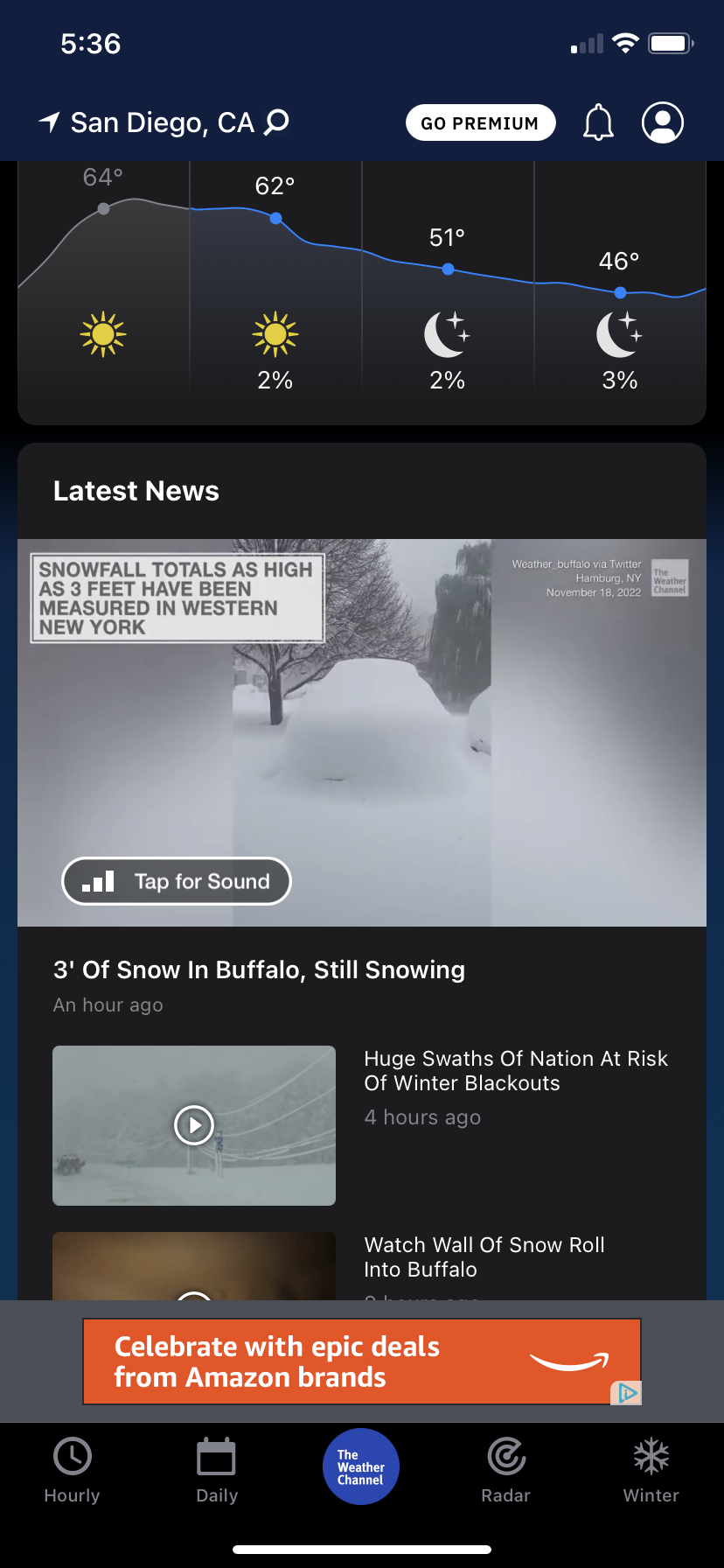
Including the cities of Orchard Park and Springville 640 PM EST Fri Nov 18 2022 ...LAKE EFFECT SNOW WARNING REMAINS IN EFFECT UNTIL 1 AM EST SATURDAY... ...WINTER STORM WATCH REMAINS IN EFFECT FROM SATURDAY EVENING THROUGH SUNDAY AFTERNOON... * WHAT...For the Lake Effect Snow Warning, heavy lake effect snow. Additional snow accumulations of 8 to 16 inches in the most persistent lake snows. Winds gusting as high as 35 mph. For the Winter Storm Watch, heavy lake effect snow possible. Total snow accumulations of 9 inches or more possible in the most persistent lake snows. Winds could gust as high as 40 mph. -
Historic Lake Effect Event?! 11/17-11/21
rmo09001 replied to BuffaloWeather's topic in Upstate New York/Pennsylvania
Maybe a 3-4 hour lull then a fairly steady stream from midnight-7a before it moves up north. -
Historic Lake Effect Event?! 11/17-11/21
rmo09001 replied to BuffaloWeather's topic in Upstate New York/Pennsylvania
Agree, based on the radar anyway. Not much backfilling on the northern edge, so Hamburg should get some relief for a while (from the heavy stuff at least). -
Historic Lake Effect Event?! 11/17-11/21
rmo09001 replied to BuffaloWeather's topic in Upstate New York/Pennsylvania
ya, was suggesting OP hitting 54" is a case to be made for higher totals in Hamburg. Radar does look like it wants to keep heading south, but we'll see! -
Historic Lake Effect Event?! 11/17-11/21
rmo09001 replied to BuffaloWeather's topic in Upstate New York/Pennsylvania
Maybe not... Orchard Park 54.0 in 0400 PM 11/18 Trained Spotter https://forecast.weather.gov/product.php?site=NWS&issuedby=BUF&product=PNS&format=CI&version=1&glossary=1&highlight=off -
Historic Lake Effect Event?! 11/17-11/21
rmo09001 replied to BuffaloWeather's topic in Upstate New York/Pennsylvania
Think the band stays over southtowns long enough for that? Seems like a lot of movement (noticeably north) tomorrow, then a relatively quick hit on Sunday as it comes back down and swings through. -
Historic Lake Effect Event?! 11/17-11/21
rmo09001 replied to BuffaloWeather's topic in Upstate New York/Pennsylvania
Yep, you can see it begin to sag south after that recent push north on radar. https://weather.cod.edu/satrad/nexrad/?parms=BUF-N0Q-1-24-100-usa-rad