-
Posts
1,235 -
Joined
-
Last visited
Content Type
Profiles
Blogs
Forums
American Weather
Media Demo
Store
Gallery
Everything posted by BlunderStorm
-

Jan 30th-February 1st 2026 Arctic Blast/ULL Snow OBS Thread.
BlunderStorm replied to John1122's topic in Tennessee Valley
It's been satisfying to watch the swva dry slot fill in. I was ready for it fizzle down. Visibility is back down to a half mile. The shift seemed to start as the axis of precipitation changed from west to southwest. On the meso it appears as spotted cold tops but the gaps are filled. Could the tilt of the ULL or increased proximity be the cause? Should be locked in for at least another hour of decent rates. Maybe more. -

Jan 30th-February 1st 2026 Arctic Blast/ULL Snow OBS Thread.
BlunderStorm replied to John1122's topic in Tennessee Valley
Truly one of the great memorable storms for the eastern half of the Tennessee Valley unfolding. Snow rates are rising again here. 11F, winds picked up to 5mph from due north. -

Jan 30th-February 1st 2026 Arctic Blast/ULL Snow OBS Thread.
BlunderStorm replied to John1122's topic in Tennessee Valley
Woke up a bit ago. Looks like the Clinch river valley has been fighting a dry slot aloft the entire night. That said, it has never stopped snowing per radar and the DGZ is very close to the ground accumulating as individual crystals. If you were to glance out a window you'd think it was fog lol. Haven't taken a measurement but it looks like I'll be north of 5 inches by dawn. Temp is ~12.3F with a DP of ~8.2F. No wind, it's incredibly peaceful out there. Might take a walk before dawn. -

Jan 30th-February 1st 2026 Arctic Blast/ULL Snow OBS Thread.
BlunderStorm replied to John1122's topic in Tennessee Valley
Wat!? Unless he's on Beartown or up on Big A no shot. I'd be shocked if Lebanon went nuclear and Honaker didn't with how the radar has presented. That said microclimates have shocked me in the past. That said I like this drone shot he did which looks about right. https://x.com/i/status/2017405886688354344 -

Jan 30th-February 1st 2026 Arctic Blast/ULL Snow OBS Thread.
BlunderStorm replied to John1122's topic in Tennessee Valley
Getting frigid out there! 16.5F. Rates have picked up yet flakes are falling individually like grains of sand. 3 1/2 inches on the measurement surface and a snowpack of 4 1/2 inches in the grass. Sledding should be fun tomorrow! I'm calling this event a win -

Jan 30th-February 1st 2026 Arctic Blast/ULL Snow OBS Thread.
BlunderStorm replied to John1122's topic in Tennessee Valley
2.6 inches on the measurement site and closing in on 4 in the grass with the old stuff. A combination of artificial and moonlight has visibility around three quarters of a mile with the flakes being very fine but numerous. 20F with calm breeze from the NNE. Patiently waiting for reinforcements hoping I'm not too NW yet I can't complain, this is one of the prettiest snows I have seen this decade. -

Jan 30th-February 1st 2026 Arctic Blast/ULL Snow OBS Thread.
BlunderStorm replied to John1122's topic in Tennessee Valley
Had myself a snow nap. Now to see what's happening and happened out there! -

Jan 30th-February 1st 2026 Arctic Blast/ULL Snow OBS Thread.
BlunderStorm replied to John1122's topic in Tennessee Valley
https://imgur.com/a/BuSHkhY#oZg9Zcz 23F. A little over 1.5 inches. -

Jan 30th-February 1st 2026 Arctic Blast/ULL Snow OBS Thread.
BlunderStorm replied to John1122's topic in Tennessee Valley
Snow rates are on the high end of moderate and it's beautiful out there. 30 minutes ago flakes shifted from several small flakes to feathery clumps. Roads have yielded and accumulation on all surfaces has started. I'll probably make another measurement soon. 24F -

1-30/2-1-26 Arctic Blast, ULL Snow Event
BlunderStorm replied to John1122's topic in Tennessee Valley
I appreciate the synoptic maps you and Scottie posted. Keeps things tangible and allows comparison with the models when nowcasting. Wish we had more posted more often.- 782 replies
-
- 1
-

-
- extreme cold
- snow
-
(and 1 more)
Tagged with:
-

Jan 30th-February 1st 2026 Arctic Blast/ULL Snow OBS Thread.
BlunderStorm replied to John1122's topic in Tennessee Valley
Low albedo surfaces are feasting on every last lumen they can reach. Well, I've learned one thing for sure. You can be below freezing for days, begin the day enveloped in cloud, have decent rates for hours, air temperatures in the mid 20s and the sun will fight you every tenth of an inch the way. On the gray drive way where I had kept it clean after the last system I can now report 0.75" of accumulation over ambitious sun be darned ☀️❄️ 25F. -

Jan 30th-February 1st 2026 Arctic Blast/ULL Snow OBS Thread.
BlunderStorm replied to John1122's topic in Tennessee Valley
It's been a slow burn. Looks like a lot more should be sticking than does. Daniel Boone mentioned the cloud layer being thin and come to think of it, rates be darned, it's pretty bright. Neighbors roofs melt as quickly as they accumulate even though it's 25. Where snow was already settled though it seems to stay stuck. We've had a few waves start to paint backroads then back off since I last mentioned the roads. -

Jan 30th-February 1st 2026 Arctic Blast/ULL Snow OBS Thread.
BlunderStorm replied to John1122's topic in Tennessee Valley
24F w DP of 20. 0.3"on pavement. Visibility of about one and a half miles. It's been a slow and steady increase in rates since 7AM. -

1-30/2-1-26 Arctic Blast, ULL Snow Event
BlunderStorm replied to John1122's topic in Tennessee Valley
Morning cloud covers shadow.- 782 replies
-
- 2
-

-
- extreme cold
- snow
-
(and 1 more)
Tagged with:
-

1-30/2-1-26 Arctic Blast, ULL Snow Event
BlunderStorm replied to John1122's topic in Tennessee Valley
It started off milky here. The first flakes fell from a pale blue sky. I haven't seen defined clouds today haha. Granted it was just after dawn.- 782 replies
-
- extreme cold
- snow
-
(and 1 more)
Tagged with:
-

1-30/2-1-26 Arctic Blast, ULL Snow Event
BlunderStorm replied to John1122's topic in Tennessee Valley
Secondary roads are deteriorating quickly. US-19 and 56 are still okay. Route 80 holding up so far. I don't know what VDOT treated it with but I'm impressed. Visibility has dropped to a mile and the ground on south facing slopes is turning white (north faces like my home kept a tiny snowpack) Downtown Grundy Junction US460 w R83: https://www.windy.com/webcams/1749376028?radar,37.279,-82.099,10 Rosedale Junction US-19 w R80: https://www.windy.com/webcams/1744106392?radar,36.957,-81.934,11 US-19 bridge over the Holston North Fork: https://www.windy.com/webcams/1746699031?radar,36.775,-82.075,10 US-19/58 Junction: https://www.windy.com/webcams/1744111184?radar,36.825,-82.145,11 I-81 exit 3: https://www.windy.com/webcams/1744107801?radar,36.602,-82.228,11- 782 replies
-
- 4
-

-

-
- extreme cold
- snow
-
(and 1 more)
Tagged with:
-

1-30/2-1-26 Arctic Blast, ULL Snow Event
BlunderStorm replied to John1122's topic in Tennessee Valley
Honaker, VA. NE tip of MRX coverage. About an hours drive north from Bristol.- 782 replies
-
- 1
-

-
- extreme cold
- snow
-
(and 1 more)
Tagged with:
-

1-30/2-1-26 Arctic Blast, ULL Snow Event
BlunderStorm replied to John1122's topic in Tennessee Valley
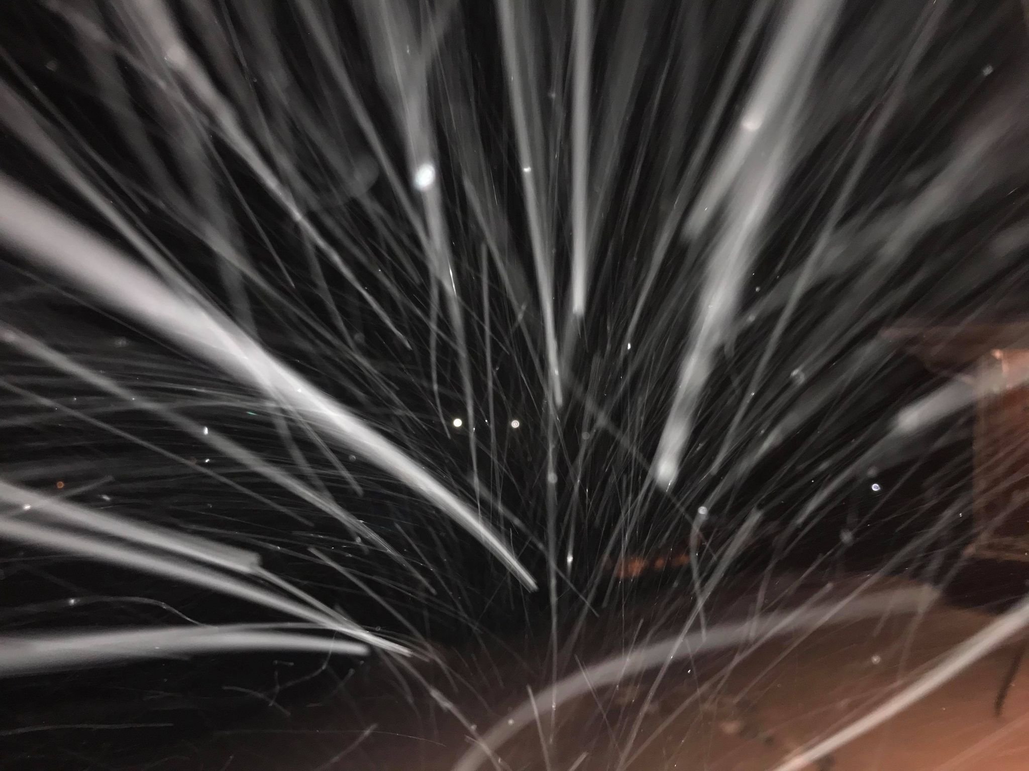
My apologies for the images eating up the thread on screen. Just thought a flake post would be neat.- 782 replies
-
- 4
-

-
- extreme cold
- snow
-
(and 1 more)
Tagged with:
-

1-30/2-1-26 Arctic Blast, ULL Snow Event
BlunderStorm replied to John1122's topic in Tennessee Valley
It's very much real per a friend in Clintwood and imby. Hope it works down toward yall quickly. The nature of the flakes are really small. Vis is down to 3-4ish miles. @BuCoVaWx @Kentucky How's it looking?- 782 replies
-
- 3
-

-
- extreme cold
- snow
-
(and 1 more)
Tagged with:
-

1-30/2-1-26 Arctic Blast, ULL Snow Event
BlunderStorm replied to John1122's topic in Tennessee Valley
Flurries in Rosedale and Honaker. And so it begins! Edit: I'll update again when things start getting real. With the last system early nucleation took 10 hours before translating to real rates. If we get an obs thread I'll switch over. Good luck gang.- 782 replies
-
- 3
-

-
- extreme cold
- snow
-
(and 1 more)
Tagged with:
-

1-30/2-1-26 Arctic Blast, ULL Snow Event
BlunderStorm replied to John1122's topic in Tennessee Valley
Euro continues the stair step trend with things a little more reigned in for 12z. Just like the RGEM though still solid.- 782 replies
-
- 1
-

-
- extreme cold
- snow
-
(and 1 more)
Tagged with:
-

1-30/2-1-26 Arctic Blast, ULL Snow Event
BlunderStorm replied to John1122's topic in Tennessee Valley
Partial 12z model suite. Waiting on the Euro.- 782 replies
-
- extreme cold
- snow
-
(and 1 more)
Tagged with:
-

1-30/2-1-26 Arctic Blast, ULL Snow Event
BlunderStorm replied to John1122's topic in Tennessee Valley
- 782 replies
-
- 2
-

-
- extreme cold
- snow
-
(and 1 more)
Tagged with:
-

1-30/2-1-26 Arctic Blast, ULL Snow Event
BlunderStorm replied to John1122's topic in Tennessee Valley
About 24 hours out from the start of it here now. The 12z ICON has put the plateau in proper play for the first time. 12z RGEM came out of the oven a bit dry. Will the trend taper? Stay tuned.- 782 replies
-
- 1
-

-
- extreme cold
- snow
-
(and 1 more)
Tagged with:
-

1-30/2-1-26 Arctic Blast, ULL Snow Event
BlunderStorm replied to John1122's topic in Tennessee Valley
As a rule of thumb it's better to more heavily weight 0z and 12z runs to my understanding. Although... I don't know which models this applies to.- 782 replies
-
- 1
-

-
- extreme cold
- snow
-
(and 1 more)
Tagged with:

