

ATreglown
-
Posts
319 -
Joined
-
Last visited
Content Type
Profiles
Blogs
Forums
American Weather
Media Demo
Store
Gallery
Posts posted by ATreglown
-
-
1 minute ago, HighStakes said:
Search and type in " snowstorm of the century march 1980 ". There are articles and NWS did a detailed synoptic overview.
https://www.weather.gov/mhx/Mar011980EventReview
-
 2
2
-
-
Looks to be a more W/E movement noe
-
Seems like far as radar, returns have been SW to NE, but last few frames have been a more W to E movement, I hope so because if not, MBY is not getting much next few hours far QP and with out that, nodda!
-
RIC does too. 36/21
-
Not looking good for my area. Major dry slot. The way this storm looked so juiced up to the south, did not work out here. Is this a case of the south robbing moisture? I know that has happened with past storms.
-
 1
1
-
-
-
Just now, ATreglown said:
And once it gets here, looks to be only 2 counties wide pushing thru. Then we get slotted..... rain. Not looking good.
And I am not going by models, this is looking at real time radar.
-
And once it gets here, looks to be only 2 counties wide pushing thru. Then we get slotted..... rain. Not looking good.
-
Well, some models did well. Looks like I get a band of snow followed by a dry slot, then cold rain. That is for RIC. Hope I am wrong, but not looking pretty!
-
19 minutes ago, Jebman said:
Well Baltimore Wx Guy lets hope you get a bit more than forecast.
I am pulling for all of you to get lots of the white gold.
So, when is your next available appointment? After this storm, I may need some positive thinking therapy! LOL. Still waiting for the virga to go away and actually see some weather.
-
6 minutes ago, NovaTarHeel said:
As if living in the permanent torch of Richmond wasn't enough, we're now a snowhole:

That is not a snow hole. The radar is just not showing virga over the Richmond area. It will fill in.
-
1
-
-
Yoda is great at delivering!!
-
2
-
1
-
-
1 minute ago, yoda said:

Thank you Yoda! I really appreciate it!!
-
1
-
-
4 minutes ago, jaydreb said:
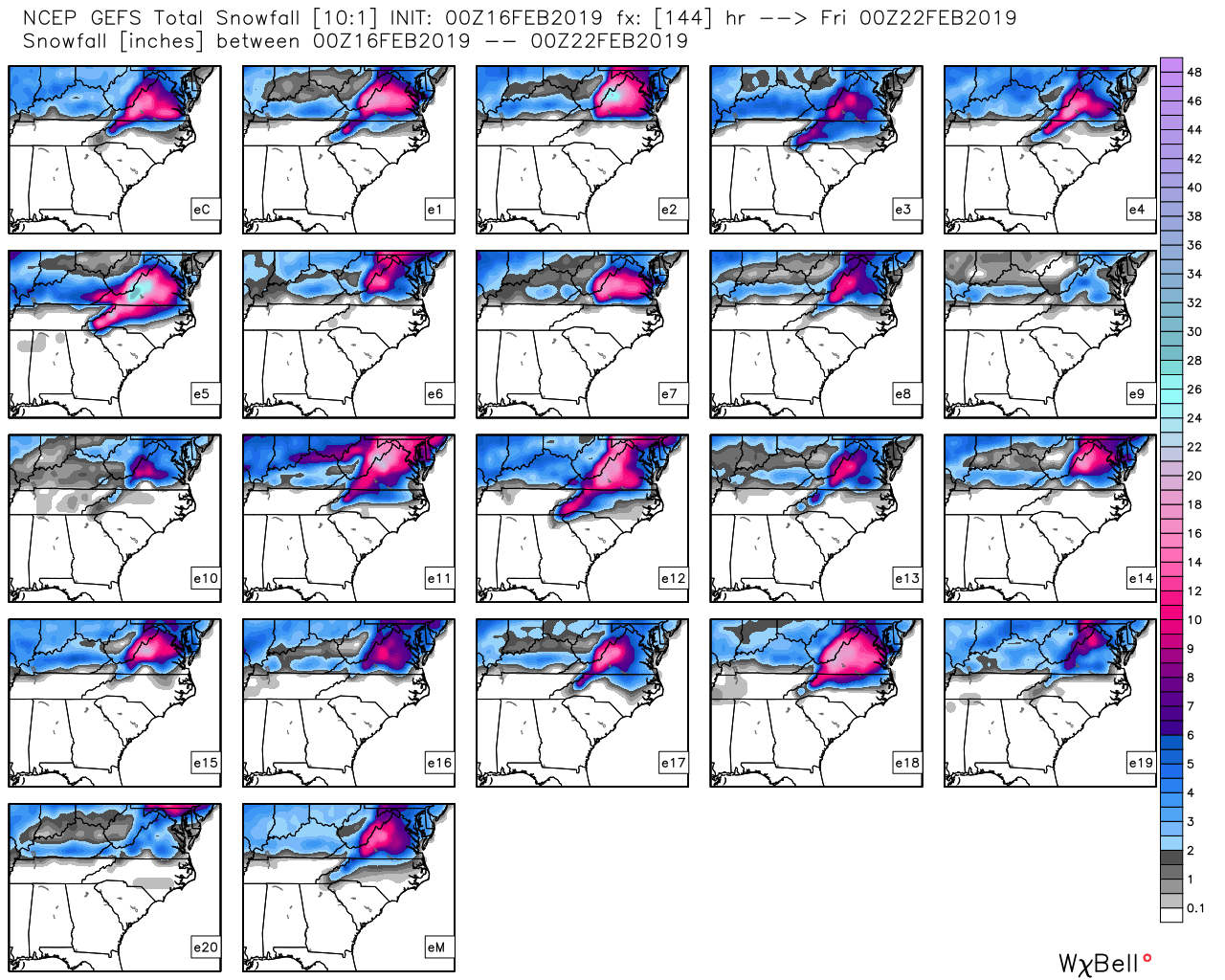
GEFS looks good. Looks like less whiffs than 18z but less huge hits too. Take snowfall maps with a huge grain of salt.

Can we widen the view to include the RIC area? TYIA if so!
-
22 minutes ago, Jebman said:
I understand the Mid Atlantic is in for some mild weather, just before some accumulating snows.
Well tomorrow Austin will likely eclipse 90 degrees lol.
I am getting a very early start on summer lol.
I am pulling hard for you guys to get some good snows in the next few days!
I dont mind very warm weather down here in Texas, IF it helps DC get heavy deep snow!
Well, thank you kind sir... aka "The Jebman" for taking one for the MA! You have a kind soul!!
-
I said this in the weekend storm thread, but think it is just as appropriate here.
The south move (don't want to use the word "trend" ) does nothing for my area. Will still be rain. I would rather this be north and give you guys snow, and me much less rain! I hate rain and I am so tired of wiping my pooches feet and cleaning floors!! I would be even happy with brutal cold and dry right now. At least my mud would be "FROZEN"!!
-
1
-
-
The south move (don't want to use the word "trend" ) does nothing for my area. Will still be rain. I would rather this be north and give you guys snow, and me much less rain! I hate rain and I am so tired of wiping my pooches feet and cleaning floors!! I would be even happy with brutal cold and dry right now. At least my mud would be "FROZEN"!!
-
1
-
1
-
-
5 minutes ago, Maestrobjwa said:
Who is that?
Scroll down the topics page here in the MA. You will see a title with his name KA. I believe his name is Keith.
-
16 minutes ago, Maestrobjwa said:
I felt so proud of myself for actually getting the gist of his tweet...lol @Bob Chill Basically what we were talking about earlier with the transient blocking, right?

From his latest tweet it does not seem like he sees the -NAO "blip" for the mid next week storm though. But does see a wintery mix . Although he did not specify the MA, so not sure where on the EC he is thinking. I know he is more NJ/NY .
-
Just now, Maestrobjwa said:
But here it also sounded like he was saying that we have a chance of transient blocking (which he referred to as "-NAO blips"...he said time one of those right and...fun times ahead, lol)
Read post above ^. I saw that too.
-
1
-
-
12 minutes ago, ATreglown said:
Thank you. I just read his last tweet and he saying the -NAO was a swing and a miss and figured he meant any big coastal storms did not seem to be in the picture over the next week. The rest I was not so sure about.
And now he just said that there could be what he calls -NAO "blips" that if timed right could be fun times for the East Coast. As in ... maybe next week... if I am reading that right?
-
Just now, Bob Chill said:
He's basically just saying that the flow over the Pacific is not cooperating for a large coastal snowstorm in the east. He's not saying it won't snow just that conditions remain unfavorable for a classic largr coastal snowstorm.
I agree with that as well. Until we lose the deep trough in the western US the most probable outcomes of snow events will be light or mixed events and they won't cover a bunch of real estate.
Thank you. I just read his last tweet and he saying the -NAO was a swing and a miss and figured he meant any big coastal storms did not seem to be in the picture over the next week. The rest I was not so sure about.
-
1 minute ago, Bob Chill said:
A fairly large group of people never enjoy any snow event because of this. All it takes is one op run showing a big hit like 7 days out and anything less than that is a disaster... which applies to somewhere in the neighborhood of 100% of our events.
Can you translate HM's tweets from just minutes ago? I have such a hard time understanding him.
-
I just took a peak here and was wondering why no post in the past hour with the 00z running. Then I took a look at the gfs. Well, no explanation needed, .... it speaks for itself.


2019 Mid-Atlantic Severe Wx - General Discussion
in Mid Atlantic
Posted
Another pity MD from SPC for the RIC area. 40% for a watch. Hoping the cells to my west hold together!