

Organizing Low
-
Posts
17,685 -
Joined
-
Last visited
Content Type
Profiles
Blogs
Forums
American Weather
Media Demo
Store
Gallery
Posts posted by Organizing Low
-
-
4 minutes ago, Rjay said:

Impressive
-
27 minutes ago, wxeyeNH said:
Quick obs on temperatures. Not Berkshire County is now getting down to around 0F at noon. (Pittsfield -1F) Also Vermont. Amazing cold coming in.
We’ve had countless nights below zero this month.
Up here, it’s been a January to remember , in terms of cold. -
11 minutes ago, mahk_webstah said:
you didn't leave the house because you were afraid of freezing to death to walk over to your car?
Haha you haven’t seen my walk , it’s deathly lol
-
 1
1
-
-
24 minutes ago, mattm4242 said:
I’d have to think the 24+ is definitely on the table for the cape Ann group on here. Have been on the north edge of pretty much every heavy band. @NorEastermass128 @MuddyWx
Nice and congrats !
Cape ann is where I had mentally targeted to take a trip down ….but ended up not getting out of he house due to the windchill up here mehhhh …lol
-
 1
1
-
-
Well it’s snowing here this morning , blowing and gusty, yet another in a long line of seasonal depression January mornings for the non weenies here .
22 here but classic set up with the cold air blasting in here to fuel the fire over you guys.
Ottawa already down to zero. They had 19 inches last week, told my dad they will be arctic sunny and bitter, watching the snow on tv this time.
-
6 minutes ago, mahk_webstah said:
But for you its a no brainer
I took notes on suggested locations on your previous post, thank you, very helpful …and I agree you want to get out and enjoy it. Will make my move late afternoon/early evening it’s only a 3.5 hour drive.
-
5 minutes ago, mahk_webstah said:
I would just sit on the floor, cross your legs and meditate. Calm yourself. Then make a decision. Breath. And know that it will snow again in your life.
I think this is Smart. Frustrating, but smart.
-
2 minutes ago, TheSnowman said:
I just bought some time, big time, but I Knew this would happen. SW cad negligence flights Already into ESNE, MEANING the Closest airport I can get to is Buffalo. I'll have to drive from 10:30pm to 5am to Boston. I presume I can do a 1 day rental and they set it mine not getting it until Sunday in Boston?
But now I can sleep. 1pm flight out of Burbank which also helps vs. a 6am out of LAX which I changed my Hartford flight from. Never flew into Buffalo before. BUT I'LL BE Driving in it at Those hours!
Do Note!!!! ALL the RI weather guys think this is Just a 12-18 storm. PLEASE note that.
And here I am thinking whether I should drive from Vermont lol
-
1
-
-
17 minutes ago, dmcginvt said:
I'm in the 5 in and I am happy with it
There’s been more than enough winter around here, as my car battery can attest to. And there’s 3 more months to come.
hope this one buries those to the SE.
-
1
-
-
After seeing the GFS and GEM swing right, it was inevitable that the euro was going to go west. Even the weather models are becoming predictable

-
1
-
-
Just now, 40/70 Benchmark said:
OL!!!!! Wow, miss you from the old Bs threads.
Saw the euro. Had to post …you just can’t NOT post after seeing that.
-
3
-
-
24 minutes ago, 40/70 Benchmark said:
I have never seen an ensemble mean that intense....this may rival my drift records from March 14, 1993....just violating the atmosphere in every way imaginable. Drifts several feet high and Ginxy and the dogs just floating past ice bergs in area sounds from the tides....clinging to terds like life buoys.
Lmao weenie heaven right there.
Epic if this rivals 1993, of course goes without saying….drama builds.-
1
-
-
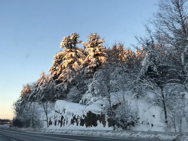
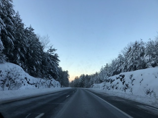
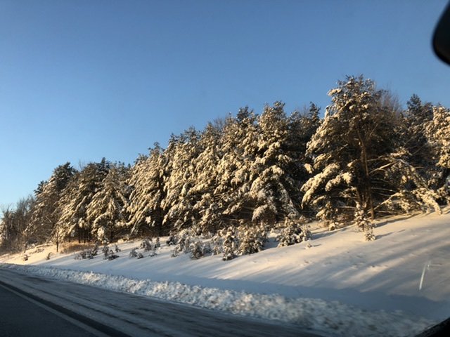
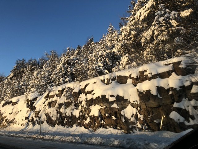
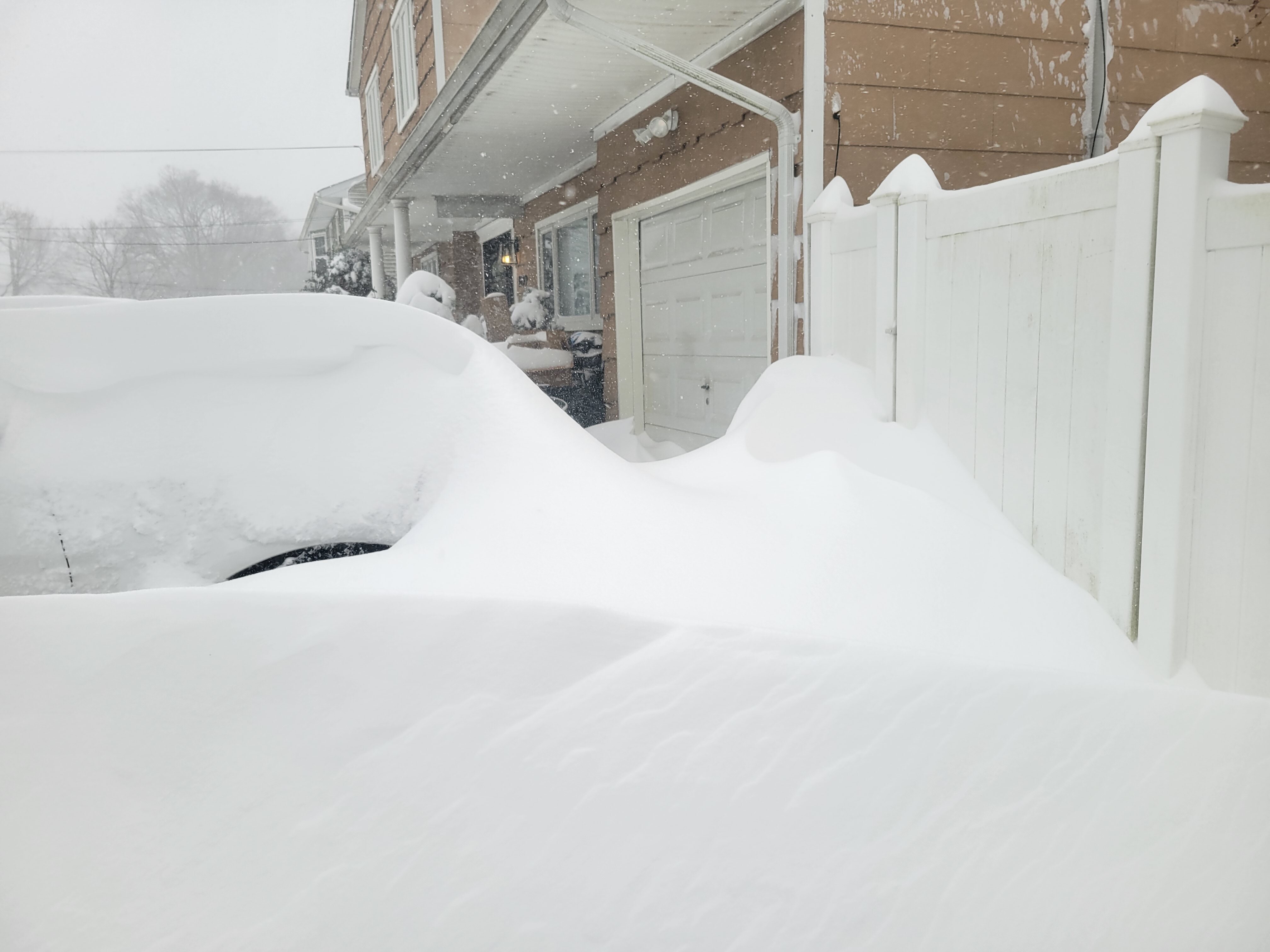
It’s a photographers dream out there.
Some Iphone pics from a morning drive on I-89 between saint Albans and BTV
-
2
-
-
8 hours ago, powderfreak said:
It was most certainly due to the evolution of the storm. I’d call it one of the worst road surfaces you’ll see here... washboard ice. Like a mud season rumblestrip but made out of ice and melt/compression holes.
The first event probably made it wintry, but then there was prolonged light freezing rain at 23-25F in BTV that got real icy. It was icy around here with ZR at at higher 28-31F temps here. But low/mid 20s liquid gets icy on plowed stuff in a hurry.
Top it off with a decent period of 1-2”/hr that drops a quick 8-10” at the airport... I bet that’s a tough combo to battle, prolonged light icing the heavy thump.
Excellent analysis PF thanks
i wasn’t Living here for the blocked flow event, but I do remember watching it unfold in Ottawa on the old forum.
-
Final totals appear to be :
BTV area 14-18 inches
CYUL Montreal 36 cm / 14 inches
Montréal island in general ranged 14-18 inches also
CYOW Ottawa 26 cm / 10 inches
highest total I’ve seen from NWS btv and environment Canada is Malone NY 22 inches. That fits well with where the expected jackpot was going to be ...
MBY I’ll say approx 17 and call it a day. There is a LOT of dense snow out there (giant piles and extended clean up in process ) .....agree with many that it’s one of the most picturesque snows in quite some time caked to everything (scenes right out of those sappy Holiday movies).
-
1
-
-
Remarkable story really speaks to the power of the intense banded snow that moved through , btv airport closed for the first time In nearly 20 years.
-
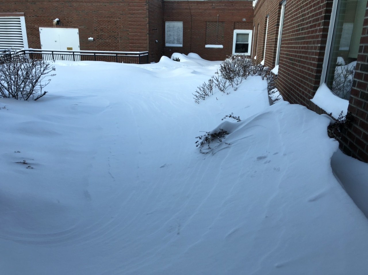
Leaving work, morning light reveal, 3 degrees

-
2
-
-
Powder Snow continues here though winds seem to have calmed a bit
-
Power outages blow, hope that doesn’t take too long to get up and running.
a 966mb low does damage in all forms.
-
12 minutes ago, CoastalWx said:
That first pic is nuts
Yes I definitely slept through the best stuff, as I read back through this thread and saw the time stamps on PFs radar posts.
Love this sub forum for big storms. So easy to relive. Haha
hope you guys get a real coastal blizzard before this year ends fingers crossed.
-
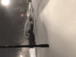
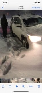
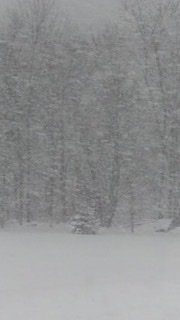
Some photos from the trek to work about one hour ago.
includes the neighbors mom in the white truck digging out after parking since 230pm.
sorry for the sideways photos. Tried everything couldn’t figure it out. Hate tech.Lol
-
1
-
-
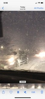
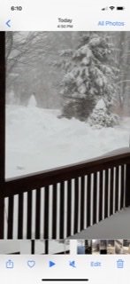
A couple photos from franklin, Vermont from this afternoon , from my in laws
-
3
-
-
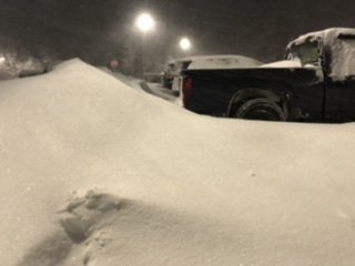
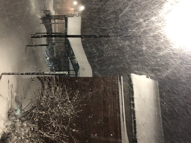
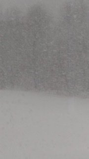
Slept all day and just got to work. Walked out of the apartment Into white powder blowing snow, one poor fool was digging his car out from parking on the street since 2pm.
impossible to say how much has fallen With the blowing and drifting , but my estimate based on multiple visuals and years of experience is about 14 inches today so far.
-
1
-
-
22 minutes ago, powderfreak said:
@Organizing Low in the Northern Champlain Valley there you could get like 10-14” in the next 8-10 hours if you are already over to snow. Got a healthy 1-1.5” QPF to go on all the models.
thanks PF.
Pleasantly surprised by the early/ on time change over. Always a good sign. Should be in btown soon one would think.
Walked home from work, it’s a winter wonderland , very calm winds fat juicy flakes. Another good sign. One inch fresh down now.only problem is I work nights and sleep days so I have to sleep today and work tonite. Totally blows that I’m going to miss the good stuff , but tracking Radar overnite as well as conditions To our NW has been fun.
I’m sure I’ll wake up at some point today to look out the window. Hopefully I don’t see much

OBS/DISCO - The Historic James Blizzard of 2022
in New England
Posted
Wow
24 minimum