
WhiteLawns
-
Posts
608 -
Joined
-
Last visited
Content Type
Profiles
Blogs
Forums
American Weather
Media Demo
Store
Gallery
Posts posted by WhiteLawns
-
-
1 minute ago, weatherwiz said:
Might head back towards bdl
On my way turned around 15 or so mins ago
-
Lots of emergency calls coming from where that cell went through in ENY
-
-
2 minutes ago, weatherwiz said:
I’m feeling good about my spot!!! Sun is peaking out too in Walpole, ahead of the exploding supercells
Just passed BDL. Lots of sunshine! 91 degrees

-
 1
1
-
-
Tornado watch up
-
@weatherwizi def won’t be able to make it super far north today. But if you were in my shoes. Would you
a. Go up rt 7 into the great Barrington Pittsfield area?
b. Go up 91 into Northampton to take advantage of it being in the CTRV
-
What’s with all the wagons north stuff? The Spc moved the enhanced zone further south overnight. Was that a bad move by them?
-
1
-
-
@weatherwizif you end up in the lakes region go to Curtis road in gulford nh. You can see to the west very well for MILES.
-
What is a discrete cell? Just a single storm not a line?
-
1
-
 1
1
-
-
21 minutes ago, ice1972 said:
Cell over Bethlehem needs a TOR
It’s weak. I’m in it.
-
1
-
-
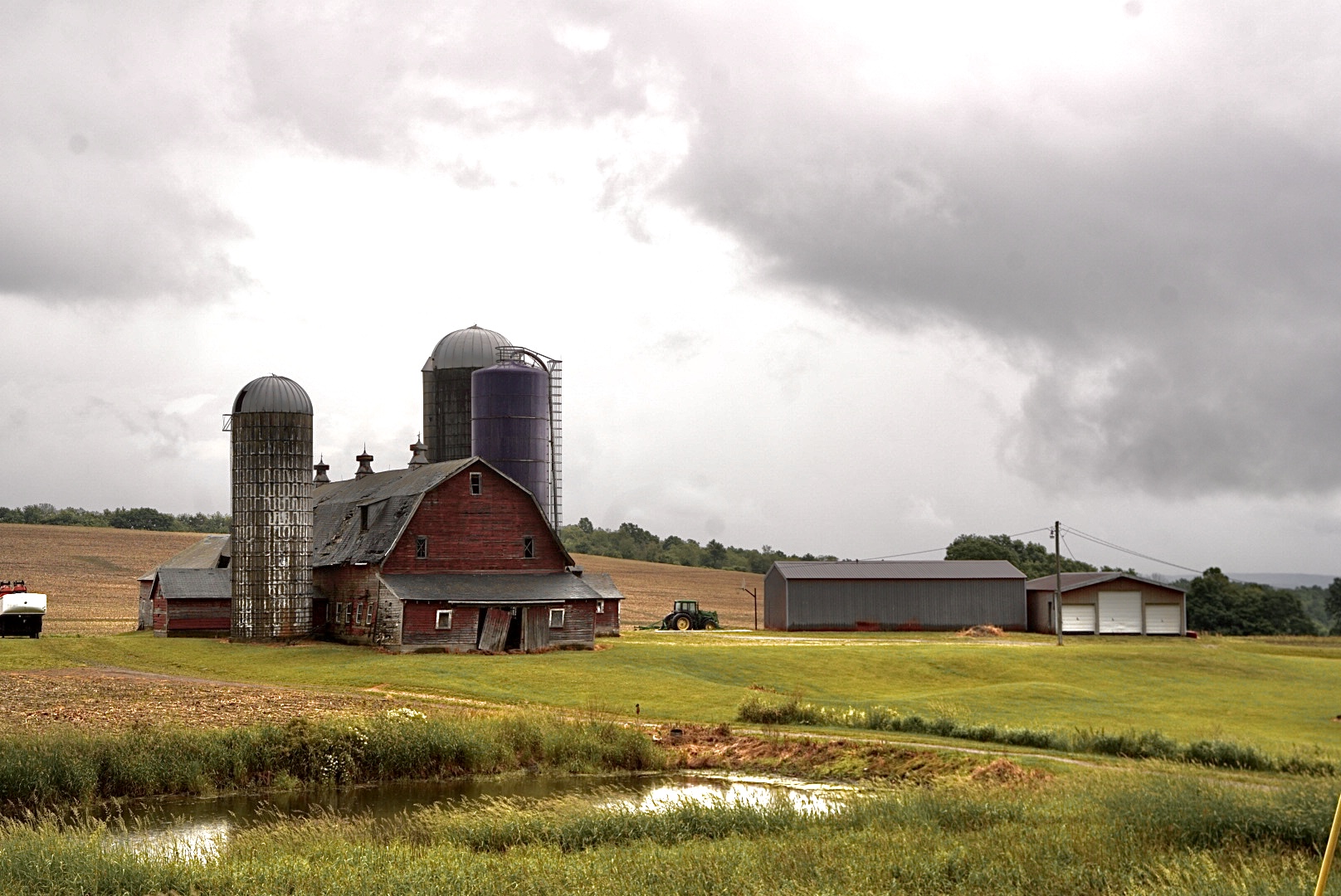
Wow that looks strong
-
1
-
-
Thanks for the write up wiz
-
2
-
-
I didn’t notice any rotation on radar. Just looked like straight line winds. I’m trying to find a longer radar velocity loop to look back. Anyone know of one? RadarScope only gets me so far back.
-
-
-
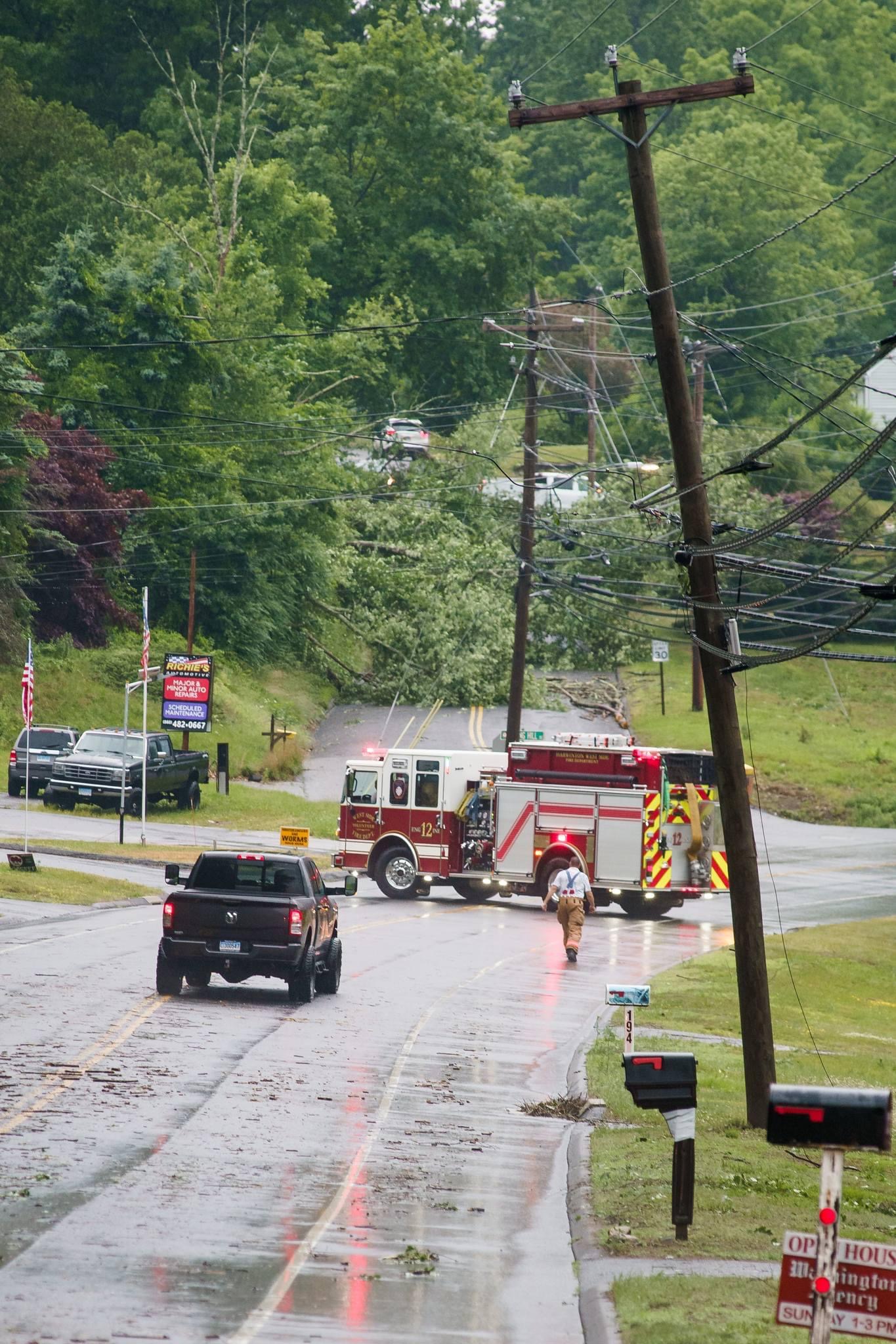
Ended up in back in harwinton. Decent amount of damage in one area. Multiple large trees down
-
1
-
 1
1
-
-
9 minutes ago, weatherwiz said:
This stuff going to take off moving across central Mass and northern CT
I’m in Bantam right now. Hoping for something good. Should I maybe go further east?
-
Watches up!
-
1
-
-
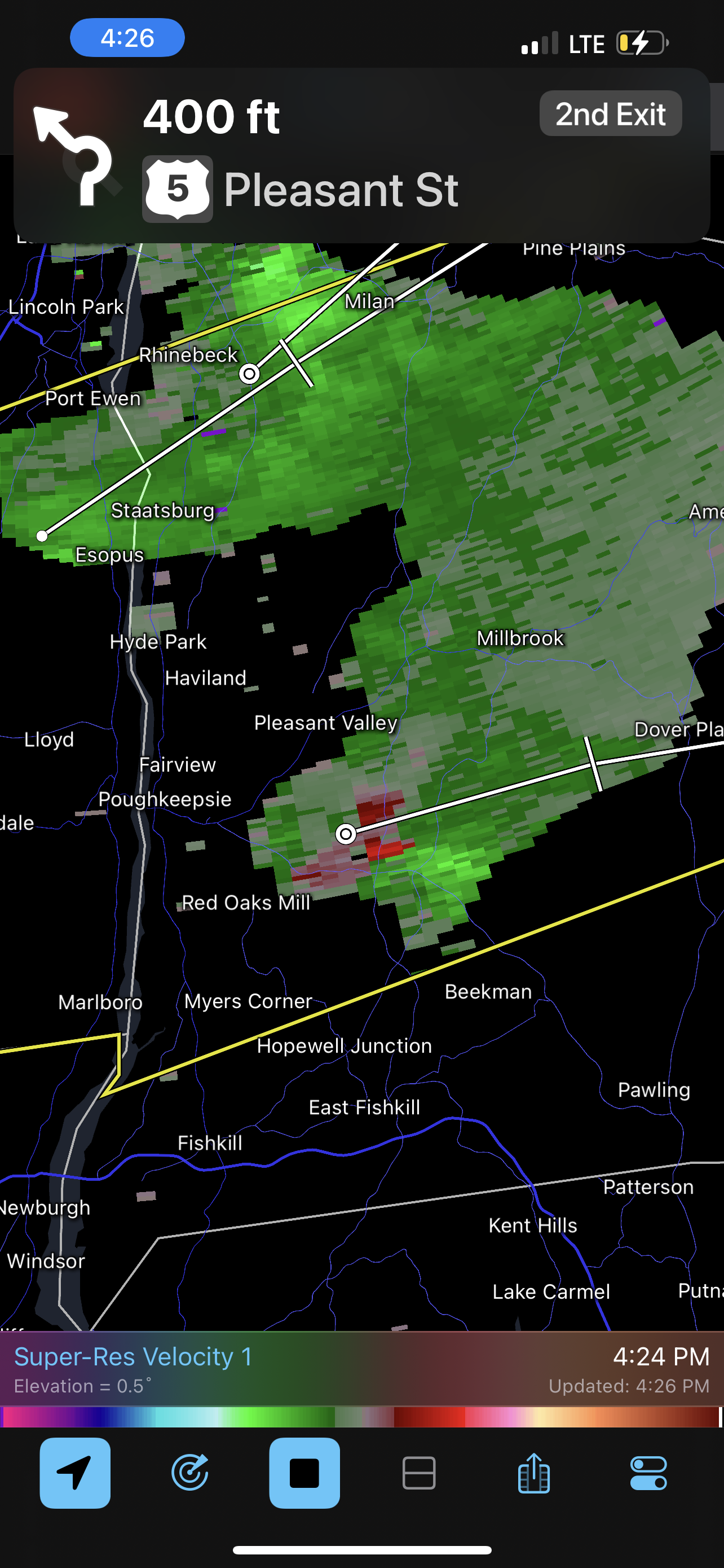
48 minutes ago, Damage In Tolland said:
Tor possible on that hook echo north of Rhinebeck, NY?
Lol that cell is almost reduced to nothing now. It did look decent for a while.
-
Severe weather in ct blows… And not in the good way
-
6 minutes ago, Damage In Tolland said:
Tor possible on that hook echo north of Rhinebeck, NY?
It’s not even severe warned.
-
1
-
-
Not all was lost at least.

-
2
-
1
-
-
6 minutes ago, CoastalWx said:
People chase this?
Regretting my decision. Didn’t even get cool clouds at all.
-
 1
1
-
-
32 minutes ago, weatherwiz said:
Should see a line of rain and storms get into far western CT. Nothing will be crazy today
I just have an itch to scratch.

Hoping to get some good pics at least.
-
2
-

Sunday, June 23, 2024 Convective Thread
in New England
Posted
Dutchess county