

Tater Tot
-
Posts
298 -
Joined
-
Last visited
Content Type
Profiles
Blogs
Forums
American Weather
Media Demo
Store
Gallery
Posts posted by Tater Tot
-
-
Severe Weather Statement National Weather Service Baltimore MD/Washington DC 734 PM EDT Thu May 30 2019 VAC177-630-302345- /O.CON.KLWX.TO.W.0027.000000T0000Z-190530T2345Z/ City of Fredericksburg VA-Spotsylvania VA- 734 PM EDT Thu May 30 2019 ...A TORNADO WARNING REMAINS IN EFFECT UNTIL 745 PM EDT FOR NORTHEASTERN SPOTSYLVANIA COUNTY AND THE SOUTHERN CITY OF FREDERICKSBURG... At 733 PM EDT, a confirmed tornado was located over Massaponax, or 7 miles south of Fredericksburg, moving east at 40 mph. HAZARD...Damaging tornado and two inch hail. SOURCE...Weather spotters observed a tornado. IMPACT...For those in the direct path of a tornado touchdown, flying debris will be dangerous to those caught without shelter. Damage to roofs, siding, and windows may occur. Mobile homes may be damaged or destroyed. Tree damage is likely. This tornadic thunderstorm will remain over mainly rural areas of northeastern Spotsylvania County and the southern City of Fredericksburg, including the following locations... Thornburg, Snell and Alsop. PRECAUTIONARY/PREPAREDNESS ACTIONS... To repeat, a tornado is on the ground. TAKE COVER NOW! Move to a basement or an interior room on the lowest floor of a sturdy building. Avoid windows. If you are outdoors, in a mobile home, or in a vehicle, move to the closest substantial shelter and protect yourself from flying debris. && LAT...LON 3814 7766 3827 7765 3830 7755 3830 7747 3829 7745 3828 7745 3828 7744 3826 7742 3824 7739 3825 7738 3825 7737 3811 7752 TIME...MOT...LOC 2333Z 274DEG 36KT 3820 7751 TORNADO...OBSERVED HAIL...2.00IN $$ RCM -
It's much easier to maintain low expectations about severe around here. I try to steer clear of the place around winter because it's harder not to get your hopes up (plus it's not as fun without DT's rants).
-
Just now, mappy said:
are you new here? we get 50 page threads for flurries in the winter. why would severe weather be any different?
I know, I think I'm just noticing the contrast between this thread and the midwest/ohio valley threads where they've been having tornado outbreaks with about 20 people in the thread lol.
-
3 minutes ago, mappy said:
should we be somewhere else?
I love how active it is just for an ENH risk day.

-
lmao at all the people in here!
-
Am I right in my impression that this level of activity wasn't anticipated? It was only an ENH day, right?
-
-
Been a little bit more T&L with this one than usual.

-
 1
1
-
-
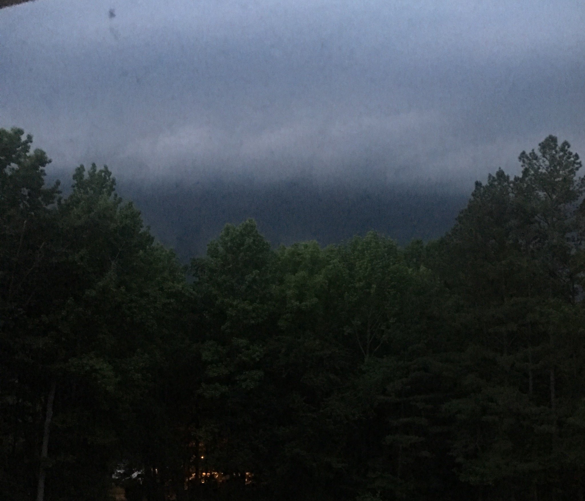
Really impressive downpour here. Wind was nothing special, although it still knocked the power out for a few minutes lmao. Sun is already peeking back out. It was cute!
-
23 minutes ago, Kmlwx said:
This is reminiscent of the "classic" solid lines of storms that some of us have discussed as being less common than in the 90s and earlier 2000s.
I always just thought I was crazy for thinking this. It’s so rare that we get these classic, quick squall lines anymore, yet I remember them being a sort of regular occurrence when I was a kid.
-
2
-
-
It’s already breezy and the sky has that gross white haze. Definitely seems like the kind of day we get these nasty lines.
-
Not even a STW for the cell near Locust Grove?
-
Just finally started raining. Weird storm.
-
This came on really quick. Sun to severe in a matter of minutes. And none of my electronics are charged for if the power goes out lmao.

-
The Louisa storm has been looking better with each scan.
-
Just heard on the police scanner that there was a fatality in Stafford.
-
Lights are blinking here.
-
Ugh, this looks like it's going to take all night to move out of here. I want to go to bed.
-
1
-
-
That cell near Warrenton looks suspicious.
-
Power has been out here for about 15 minutes now, despite the wind dying down.
-
Power already went out briefly here.
-
3 minutes ago, yoda said:
TOG near Scotts Fork/Mannboro
Severe Weather Statement
National Weather Service Wakefield VA
532 PM EDT THU OCT 11 2018

VAC007-112145-
/O.CON.KAKQ.TO.W.0040.000000T0000Z-181011T2145Z/
Amelia VA-
532 PM EDT THU OCT 11 2018

...A TORNADO WARNING REMAINS IN EFFECT UNTIL 545 PM EDT FOR
SOUTHEASTERN AMELIA COUNTY...

At 532 PM EDT, a confirmed tornado was located near Scotts Fork, or
near Mannboro, moving northwest at 40 mph.

HAZARD...Damaging tornado.

SOURCE...Radar confirmed tornado.

IMPACT...Flying debris will be dangerous to those caught without
         shelter. Mobile homes will be damaged or destroyed. Damage
         to roofs, windows, and vehicles will occur.  Tree damage is
         likely.

This tornado will be near...
  Scotts Fork around 535 PM EDT.

Other locations impacted by this tornadic thunderstorm include Earls
and Ammon.

PRECAUTIONARY/PREPAREDNESS ACTIONS...

To repeat, a tornado is on the ground. TAKE COVER NOW! Move to a
basement or an interior room on the lowest floor of a sturdy
building. Avoid windows. If you are outdoors, in a mobile home, or in
a vehicle, move to the closest substantial shelter and protect
yourself from flying debris.

&&

LAT...LON 3733 7796 3734 7785 3734 7780 3732 7780
      3731 7781 3731 7780 3729 7777 3727 7776
      3727 7774 3719 7775 3720 7779 3719 7780
      3722 7789
TIME...MOT...LOC 2132Z 151DEG 33KT 3727 7790

TORNADO...OBSERVED
I'm surprised it was even visible.
-
Decent looking couplet near Amelia.
-
3 minutes ago, olafminesaw said:
That rotation speed was pretty impressive.
2019 Mid-Atlantic Severe Wx - General Discussion
in Mid Atlantic
Posted
If it's really still on the ground, it's gotta be one of the longer track tornadoes in the Fredericksburg vicinity that I can remember. It has maintained a surprisingly consistent TVS.