

Eskimo Joe
-
Posts
19,159 -
Joined
-
Last visited
Content Type
Profiles
Blogs
Forums
American Weather
Media Demo
Store
Gallery
Posts posted by Eskimo Joe
-
-
39 minutes ago, Kmlwx said:
Paging @Eskimo Joe - the 18z GFS throws at least some semblance of better-than-normal mid-level lapse rates our way a few times next week.
Count on it. I'm in Alaska until Memorial Day.
-
 1
1
-
-
2 hours ago, pazzo83 said:
DCA hit 81F with the humidity in check - doesn't get much better.
NNE flow can be great this time of year.
-
3
-
-
34 minutes ago, WxUSAF said:
My goodness we’ve had a miserable spring. Just a dearth of dry pleasant days.
And not much rain to show for it either.
-
1
-
-
3 hours ago, yoda said:
Do northern stream s/w's bring about our better severe weather threats? There was an interesting tidbit at the end of this mornings AFD
Upper level ridging tries to build back into the area Sunday into
Monday bringing slightly drier conditions. Another front will follow
with renewed chances for showers and thunderstorms Tuesday and
Wednesday next week. Temperatures will continue to warm back above
average during this time leading to the potential for greater
instability for thunderstorm activity to feed off of. With a fairly
active northern stream will continue to monitor for any severe
weather or hydro threats within the extended period. Right now,
there is no mention in the Day 4-8 outlook from the Storm Prediction
Center.
Northwest flow regimes can advent EMLs, which work to offset the many terrain issues that mitigate severe weather in this part of the country.
-
NWS Sterling confirms 2 tornadoes from Saturday: https://www.weather.gov/lwx/GarrettTorsMay2024
-
FYI, there are still spots open for this class
-
1
-
-
7 hours ago, Terpeast said:

Recurves for days.
-
Very legit chance of aurora in Garrett, Allegany, and Washington counties tonight. NAM and HRRR show better sky conditions out there compared to last night. Worth a drive and some caffeine, IMO.
-
Based off the LSRs, radar, and this Facebook post I would say there was a tornado in Garrett County this evening. https://www.facebook.com/;;sigmund/videos/3658407847748395
-
3
-
-
-
3
-
-
Just now, North Balti Zen said:
HOLY SHIT
Bro, you best get pictures
-
Garrett and western Allegany counties appear to be clearing out nicely.
-
3 hours ago, NorthArlington101 said:
Would you be okay with Staunton area if it was you? Looks like that’s where clouds might clear to my eyes.Yea, just get west.
-
Garrett County or even far western Allegany would work. Meso guidance shows enough clearing to make a trip worthwhile.
-
36 minutes ago, NorthArlington101 said:
I’m seeing images in what I feel like are light-pollution heavy parts of Europe (e.g, Prague) that still look pretty good.
Any chance the show is good enough that clouds are the only enemy?Yea this one is legit.
-
DCA, 98
BWI, 99
IAD, 99
RIC, 99
-
2 hours ago, WxUSAF said:
Time sensitive, but on radar you can see the low level easterly flow and the higher level northwesterly flow in the radar echoes. It’s enhancing precip on the east side of elevation spots like the Catoctins.
Yup. Our Keedysville mesonet site almost got an inch of rain from the persistent flow.
-
6 hours ago, WxUSAF said:
Cloud alert
6 hours ago, Kmlwx said:Maybe we can get an Eskimo Joe style disaster and the grid will fail.
Go to Garrett County, or air BNB in Western NY. It's not far.
-
What time will the Category 4 Protons hit my cell tower?
-
 1
1
-
-
Traveling to Alaska via a cruise from Seattle from May 18 to 28, specifically Skagway, Juneau, and Ketchikan. I've started looking at NWS Juneau for weather information and reading their AFD, but I'm curious if there are any decent websites that have satellite imagery or numerical model data as the vacation nears?
-
7 hours ago, WxWatcher007 said:
Really important data point as we enter model analysis
That's truly perplexing. Maybe there's a sweet spot for number and spacing of sondes?
-
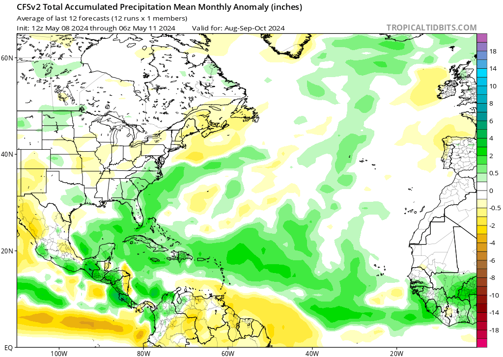
Thought this would be worthwhile for the discussion. A classmate of mine has a new publication coming out that focuses on ozone as a potential indicator for ENSO change.
-
 1
1
-
-
Nice little right moving low topped cell approaching Garrett County. Morgantown, WV gusted to M31 mph per PBZ.
-
1 hour ago, CAPE said:
Rain amounts look paltry for much of the area through Saturday evening on the 6z GFS.
Yea this forecast has dried up considerably.
2024 Severe Weather General Discussion
in Mid Atlantic
Posted
Legit derecho