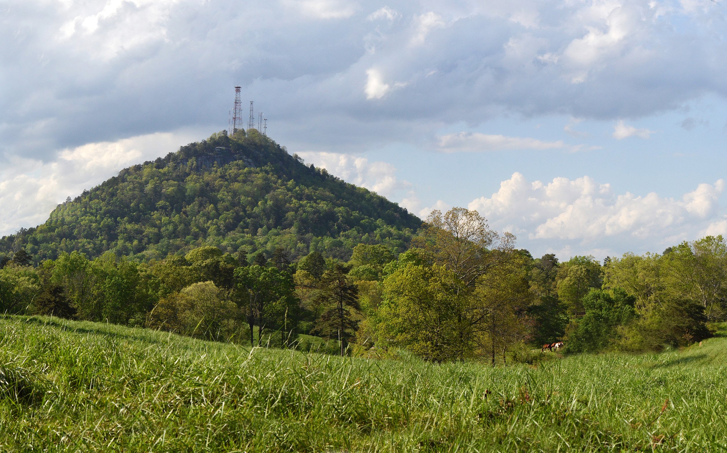

Extreme NEGA
-
Posts
219 -
Joined
-
Last visited
Content Type
Profiles
Blogs
Forums
American Weather
Media Demo
Store
Gallery
Posts posted by Extreme NEGA
-
-
The clouds came in quick here
-
 1
1
-
-
-
00Z NAM gives us the goods

-
2
-
 1
1
-
-
6 minutes ago, Dunkman said:
Even the high end forecast from GSP looks pretty meager. We must really be wishcasting this one or something.
Looks good to me


-
-
15 minutes ago, SnowDawg said:
Crazy how far apart them and GSP are for the mountain counties in NE GA. Here in Rabun GSP forecast is for up to an inch, while Atlanta is saying that lol
Yep a 50% chance of snow and 50% chance of rain. What could go wrong lol.
-
GSP
Right now...the best chance looks to be over extreme NE GA and the
higher elevations of the srn and central NC mtns. Expect about an
inch of snow thru 18z over Rabun and nrn Habersham counties...while
the NC elevations abv 3.5 Kft will likely see 1-3 inches by the time
it stops snowing there...or arnd midnight. Thus...have a two segment
WW.Y for these two areas based on thermal timing and elevation.
There could also be brief -snsh or a -ra/sn mix reaching the ground
over the entire wrn half of the FA including AND, GRD, GSP, and
HKY...yet sfc temps shud be too warm by then (~15z) to support any
sigfnt accum. Min temps will fall below freezing across all locales
tonight and slowly warm during the day with clouds and sct precip
lingering. Highs will be held abt 10 degrees below normal. overnight
mins Sat will also drop below freezing across the entire FA.
-
-
3 minutes ago, Jonathang80 said:
Hope this does not turn into 2011 all over again with the roads.
I don't think so but I can see a lot of people getting there milk and bread in the morning

-
Just now, Jonathang80 said:
Do we know when the NWS would issue a Winter Weather Advisory?
They probably won't lol. It came in earlier than expected

-
-
Yep looks about right


-
Today's run

-
1
-
-
Big jump on the Euro for North GA. First map is last night's run.

-
1
-
-
5 minutes ago, neatlburbwthrguy said:
anyone have access to posting the HRRR for tomorrow morning?
It's out of range for the HRRR right now.
-
1
-
-
7 minutes ago, ATLMet84 said:
Well this is getting me excited then. What do you think about my area in NW Forsyth? I suppose it's mainly a timing thing (and enough precip), but if we get enough precip early enough, inch or so maybe?
I think it's possible. It's going to be quick so the earlier it starts the better.
-
-
Yay lol
-
Starting to get concerned.............

-
8 minutes ago, mackerel_sky said:
One of the few times I jackpotted! 8” of paste! Thunder snow, after about 12-14 hours of rain and thunderstorms
I remember that well. Nothing but rain at my house. If you drove south to the county below me 4+ inches of snow. It was weird lol.
-
Not even excited about this with the way this winter has gone but things can change right lol?
-
19 minutes ago, mackerel_sky said:
That Tuesday/Wednesday disturbance dropping through the plains , has become more robust on the 12z today! And I think it gets together with something to form the coastal, which has also inches closer to the coast. Grasping , I know, but what else do we have to track besides the next warm up

-
1
-
-
If we can get that HP to hold in the Northeast........Wait this is hour 300 again


-
 1
1
-
 1
1
-
-
That's better
")

-
2
-


2/8/2020 Snow Event
in Southeastern States
Posted
Nothing yet at my house