

BIG FROSTY
-
Posts
4,645 -
Joined
-
Last visited
Content Type
Profiles
Blogs
Forums
American Weather
Media Demo
Store
Gallery
Posts posted by BIG FROSTY
-
-
Van says, Best be getting winter gear ready................................................
Are you ready for winter and snow?
For those of you interested, I have finalized my Snowfall Outlook for 2019-20.
Posted Nov. 25, 2019
FEEL FREE TO SHAREForecasting winter weather months in advance is far from an exact science. Still, many want to know what we (meteorologists) think. I do try to put some science behind my seasonal guesses.
The most popular sources for helping us predict long range weather patterns is to study the El Nino-Southern Oscillation. The water temperatures in the eastern pacific near the equator plays a big role in weather patters.
Many people know about the El Nino (warmer water) and La Nina (cooler water) in this part of the Pacific. This impacts our precipitation and temperatures. When neither are present it is a LA NADA year. Neutral.
This year we are in a La Nada pattern. Given that, I looked at our snowfall in La Nada years. Since 1950, there have been 21 years that were La Nada. Average snowfall for the Piedmont-Triad is 8.9" in a La Nada year. Our most recent 30 year normal for snowfall done by decade (1981-2010) is 7.5" Our 105 year average is 8.5". So La Nada is above both of these.
In addition, I see December being colder than normal, January normal and February again being colder and then there is always March with big swings.
Given all of the above, La Nada, colder than normal winter temperatures, I have bumped snowfall projections up by 10-20% above normal.
Here in the Triad, our winter total would be close to 10" with closer to 15" on the northern side. and 6-8 over our southernmost counties. Mountains see a big range due to elevation change, but a general 20-40 inches with areas above 4000 feet seeing more than 40 inches.
I will have the complete winter outlook next week.

-
 1
1
-
 1
1
-
-
rAiN 42.2

-
6 minutes ago, Shack said:
Any update on Frosty's surgery?
I've made it so far. lol............ Been a rough week, But slowly improving. They say 6-8 weeks out of work. I appreciate you asking about me!!! Take care my friend.
-
1
-
 1
1
-
-
46 minutes ago, griteater said:
My thoughts on the upcoming winter - https://www.americanwx.com/bb/topic/52692-griteaters-winter-outlook-19-20/
Great read, and I like you ideas!!! And I'll take a TORCON of (7) going into winter! lol................................. Thanks as I always look forward to reading your work!!!
-
1
-
-
1.88 in Frosty Land!
-
1 hour ago, Tyler Penland said:
Is it too early for this? Probably. But dang it's hot and I wanna talk about colder weather.
Seen a few runs of the GFS/GEFS advertising maybe a break from the heat heading towards the end of the month.
A LOT more leaf change already up here around the Boone/Banner Elk than I would expect given the recent heat. Hoping that's not setting us up for another less-than-stellar fall leaf season.
It's never to early to talk COLD/SNOW! I'm so ready for it, but not liking the winter forecasts I've seen so far, But they are just a guess. But I like reading them and when it looks promising it gives you hope! BTW Top out at 96.4 here in the N.Foothills today, Just simply ugly weather........................
-
43 minutes ago, Iceagewhereartthou said:
Well I know you've thought about it. I'm over the whole heat/summer thing and most of us can't wait for cooler weather. It's that time of year to look for signs and global patterns. Robert (wxsouth) has made some comments on his facebook site about the possibility of a weak Nina, or a "La Nada" ENSO pattern and that it may actually favor cooler temps for us generally, as recent Ninos have not acted like historic Ninos, and we've experienced more (and deeper plunging) cold fronts during recent Ninas. He admits he does not have a good guess this year and pretty much anything is on the table, and acknowledges he completely missed last year's forecast. I also checked out youtube prognosticators and you see the same predictions of bone chilling cold and snow you see every year for the East, but we know how that goes.
Right now it seems the usual pattern of pushing back the cooldown (from low 90s to upper 80s) has already started. There has been a lot of record warmth in Europe, Alaska, and the Arctic region this summer, and arctic sea ice melt appears to be tettering back and forth on the 2012 line. There are not a lot of good signs for a good brisk fall nor a decent winter. I my opinion, it is very hard to bet against the trends. Outside of the upper mid west and central part of the US, there's been very little below average for a long time. We know it will cool down and eventually we'll see fall and then winter like conditions, but will it continue to be above to well-above normal? I think predicting or even hoping for something different would be setting ourselves up for disappointment.
I predict Fall and Winter will be noticeably warmer than normal (which of course is the new normal). Unfortunately, we'll see at least one winter month be drastically above normal (like the past couple Februaries for example), snow will be almost impossible to come by south of I-40 and below 2000 feet, and we'll be left scratching our heads on how a very different set of factors could lead to such a similar result as last winter. Oh, and no three-peat of the early December snow (sorry NC peeps).

What say you?
I say you can save this, and post it ever year and you will be right 90-95% of the time!
-
1
-
 1
1
-
-
Currently 93 with a Heat Index of 106 in frying frosty land! Boy am I looking forward to fall and WINTER.............................
Did finally get a ThunderBuster last evening worth 0.90"
-
25 minutes ago, mackerel_sky said:
Can it flurry at 40 degrees!? Go figure the moisture comes hard NW and my high tomorrow is 52! Models overdoing the cold, yet again!
It's been a winner of a season bud!!! Don't ya just love living in the SE when ( you love winter weather)!
-
55 minutes ago, tnweathernut said:
Flurries in early March, after all the LR model teases for the past two months, is equivalent to a kick in the nads.
Exactly what I text a friend this morning!!!
-
WINTER CANCEL.
-
1 hour ago, CAD_Wedge_NC said:
Yeah, I don't have much faith in the FV3 in the long range. However, this is certainly the type of pattern to see a big cad event, if those highs to the north verify.
Yes, I definitely agree with that, just need to see some support from a model other than FV3. I think there is a real possibility for some Ice to show up in the CAD areas before 15th and it may get real interesting sometime after the 15th. Like you said if those highs verify?!!
-
29 minutes ago, mackerel_sky said:
Well, the GFSv3 just crushed NC with ice! Winning!!!
That model is Atrocious!! It shows snow behind just about every cold front that comes through, how many times does that happen...............................
-
 1
1
-
-
He might of been knocked down for a few days early next week, but hell be the one knocking em out when all is said and done. We are only 8 -16 days away before Macks historic obs start rolling in throughout mid March.
No doubt Mack is in the right spot!
. -
Say it ain’t so! I read somewhere a couple days ago that JB was going to have a historic bust this winter?!!EPS saying JB is a prophet post Feb 8th onward. "Delayed but not Denied. " "Harshest 30 day stretch of winter Mack has seen in his lifetime" on the way. Remember women and children first!-
1
-
-
1 hour ago, NCSNOW said:
Im going into this fairy tale chase hugging the GFS. What could possibly go wrong?
I'll put my coins on the NAMster! It looks perfect for this set up....................
-
6 minutes ago, nchighcountrywx said:
And Euro...
Well, I guess it's time to take a break from this cold & snowy winter!

#uglyasitgets
-
1
-
-
Larry Cosgrove tonight!
The 64 million dollar question that commodities traders and weather enthusiasts are asking: will the bitter cold return after the expected warming trend. The short answer is an easy one: YES. But the more complicated issue is how that transformation happens, and who can expect to be afflicted by another Arctic intrusion. More to the point, where will important snowfall occur?
The El Nino episode is weakening, particularly along the eastern sectors (the 3.4 and 4 divisions are more or less stable, adding to a Modoki appearance to this ENSO signature). That would lead one to believe that the current big "Arctic blast" is not a one-shot deal, particularly since national temperatures have been cooling since the middle of January. With warmer than normal profiles in the Gulf of Alaska and along the West Coast, the stage should be set for more -EPO type ridging. The Madden-Julian Oscillation is strong and predicted to cover more of the Phase 8 position in the equatorial waters of the Pacific Basin. So any connection with the polar westerlies might enhance amplification of the jet stream.
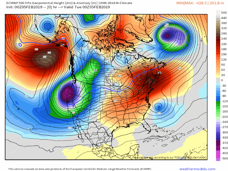
Lastly we check the numerical models, which are finally emerging from some late-week chaos to exhibit a cold West vs. warm East alignment at the start of the 11 - 15 day period. That configuration slowly changes to a more central North America trough and finally, to extensive blocking signatures across the West Coast, Alaska, northern Canada and Greenland. That type of 500MB flow got us to where we are now, and both the CFS and ECMWF model output agree on this rather ominous outlook to last through the rest of February. This particular set-up is very favorable for widespread ice and snow well into the Deep South, as well as frozen precipitation maxima in the Corn Belt and Mid-Atlantic states. The western 1/3 of the country, meanwhile trends warmer and drier. The pattern looks to continue through the first week of March, before a general collapse into a split flow occurs in the second week towards St. Patrick's Day. That will likely translate to a warmer third month, with plentiful rain and thunderstorms for
.-
1
-
-
Did you see JB Saturday summary? He optimistic about cold and southern track setting up.
Yes I did.
. -
1 hour ago, nchighcountrywx said:
And this on the way from Pacific
That should bring a wet and mild pattern!!!
-
50 minutes ago, AsheCounty48 said:
As of an hour ago, HWY 16 in Ashe has been shut down, numerous wrecks up and down the mountain.
Lots of wrecks down here this morning also! still frizzle and 31
-
2 hours ago, NCSNOW said:
Pouring in Boone. Roads are whitening
It got white in Elkin, Dobson today also! Little reminder what's to come...………………………….
-
40 minutes ago, NCSNOW said:
Tell you whos getting ready to get the ground white come late Sunday/ Monday is the obx. Also wouldnt be suprised to see some Chesapeake bay induced snow in tidewater area. Artic air hits the ocean gonna do the lake effect deal
Bingo on OBX!! May be a lot of eastern NC!
-
Dang that stinks i figured you would get more sleet up your way but that warm nose was a little more stout than what models were showing expect 3k nam.
Actually we did have quite a bit of sleet last night or it would’ve been terrible!!
.-
1
-
December Observations
in Southeastern States
Posted
Raining and 45 degrees 2.29 in the bucket so far! Where is the cold when you need it?