amt5626
-
Posts
50 -
Joined
-
Last visited
Content Type
Profiles
Blogs
Forums
American Weather
Media Demo
Store
Gallery
Everything posted by amt5626
-
Snowing here in Strongsville. Picking up in intensity by the minute. Really good last minute trends here for us. Thinking we easily fall into the 6-10, locally more where the backend and lake effect snows hit.
-
What a roller coaster ride this has been. It seems each 0z suite, things trend worse for us, then readjust at 12z. It's been a nightmare to forecast. I think 6-12 is a good bet, as well. Could even be more, could even be less. Time to start now-casting.
-
Quite a bold forecast by CLE. Could see these totals verifying, though, especially with today's trends. Would like to see models bump up the QPF some as we get closer. It seems that the heaviest snow should set up around or a bit south of I-76 and then areas pointing east.
-
Euro took a good step back to the north for a change. Hopefully the EPS and 0z run keep up the trends so far today. Still want to see another good 50 mile shift by the Euro and we should be looking pretty good.
-
0z guidance so far not really telling us much. Everything generally holding onto their respective solutions with small adjustments here and there. Tomorrow should be much more telling.
-
0z GFS bringing the southern branch SW energy a good bit further south, with the northern stream lagging behind some. Not looking good this run. Edit: By far the worst run of the GFS for the southern Great Lakes yet. Advisory / borderline warning snows at best for most of OH.
-
Can't post the maps, as they are from a subscription service. Definitely an increase in members to the south, with a majority cluster similar to the 12z. Still in the windshield wiper phase. Models may start to react in some interesting ways to new sampled data over the next couple days. Would be awesome to see some good homestretch adjustments.
-
As soon as we start feeling comfortable, the 18z EPS show some more of the southeasterly solutions, bringing down the mean a bit and shifting it southeastward. See what 0z says later tonight. Nothing crazy now, but if we see another tick in the same direction, might be a cause for concern.
-
Agreed. Still like where we are right now. Wouldn't really pick anywhere else to be at the moment, as exact details are too hard to pinpoint. 18z GFS came a bit north for what it's worth. Mix line even gets pretty close to the lakeshore. Meanwhile, EPS seem locked in last few runs. Widespread foot + mean for all of N OH on the 12z. Expect the operational Euro to bounce around the EPS suite at this point as small upper level changes develop due to timing/speed of the northern and southern waves.
-
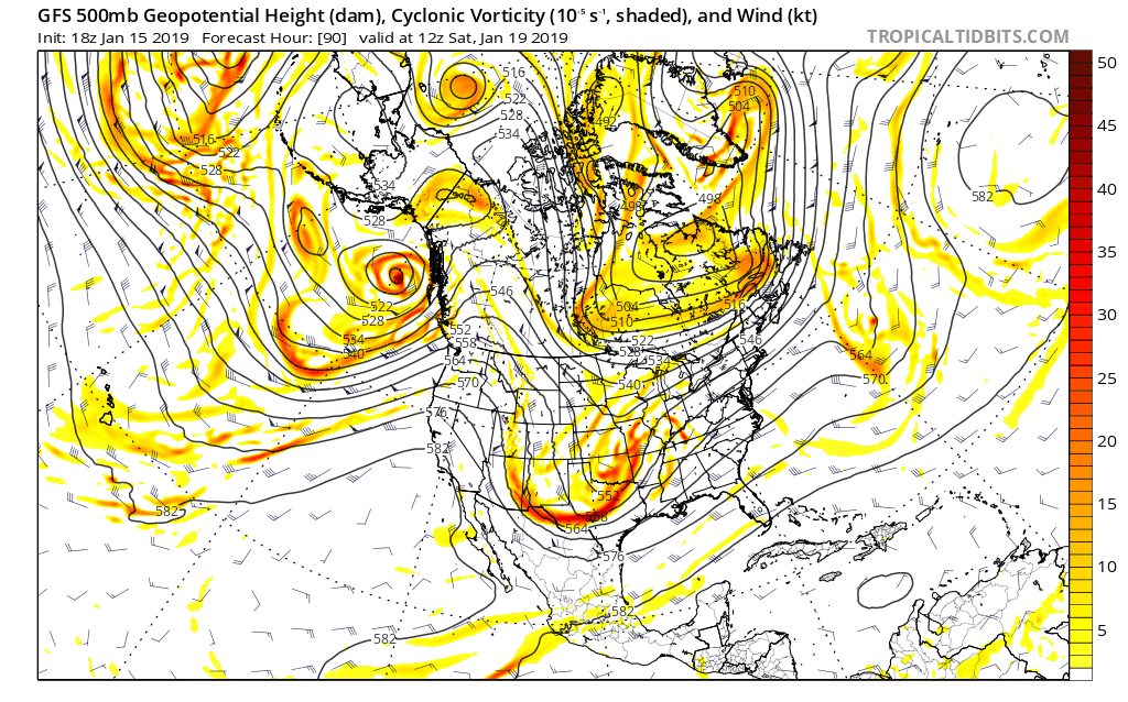
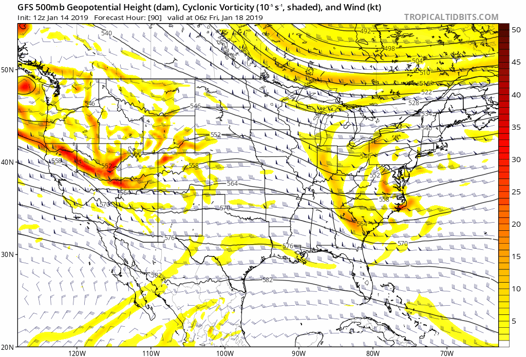
This would appear to be the case. The weaker clipper is allowing for higher heights in the East, thus amplifying the trough. Another player will be the pressing high to the north. If it trends stronger, than the baroclinic zone should strengthen and cold air should stay in place longer, helping the southern areas where the changeover will/may occur. The 0z Euro appears to show a stronger "banana high" like the GFS depicts encapsulating this storm. Note how the heights along the East Coast are gradually getting higher in the last four GFS runs as the clipper moves by us:
-
Hey all, Long time lurker here. Haven't posted in quite some time. With this storm potential, figured I'd try to post in here a bit more! Quick update on my whereabouts. Just graduated last spring from Penn State with a degree in meteorology and currently working on my masters at SUNY Albany. Loved being in school so much that I wanted to stay for a couple more years! Anyways, the European is almost unbelievably good for our area. Looking at the ensembles further solidifies the likelihood of big snows in northern OH. Recent GFS runs aren't half bad either, easily giving a foot + for all of us here. Furthermore, the lake effect behind this will also be something to write home about. And yes, those monstrous QPFs are all snow in the north central and western parts of the state. Temps at the surface will be in the mid 20s for most of the heaviest snow, crashing into the teens near the back portion. This should lead to decent ratios. Will be fun to look at model soundings as we get closer in time to the event. The energy associated with our pesky Thursday evening/night clipper is just off the West Coast right now. Once that gets fully sampled tomorrow, we should have a higher degree of certainty in the weekend system. Rooting for a weaker clipper.
-
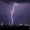
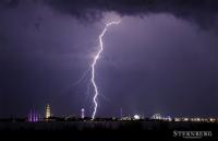
SPC has us under an enhanced risk for severe storms later this evening/overnight. Thoughts on what may be in store for us? Seems that they shifted the focus further south.
-
Funny to see all of the schools closed for tomorrow due to the cold. Sure it will be pretty cold, but not nearly as bad as last year. Hopefully the kids can have some actual "snow" days this winter.