

JBinStoughton
-
Posts
354 -
Joined
-
Last visited
Content Type
Profiles
Blogs
Forums
American Weather
Media Demo
Store
Gallery
Posts posted by JBinStoughton
-
-
Just now, Baroclinic Zone said:

If you’re 30 I should at least be good for 24 lol.
-
2 minutes ago, RUNNAWAYICEBERG said:
Not trusting a nammy placement of a deform band, call me crazy.
How can anybody say for certain where it will set up. The storm really hasn’t even come together yet. The point is there probably will be significant mid level features. Shifts are obviously possible and even as the storm moves along.
-
3 minutes ago, wxeyeNH said:
Here you go... Euro 12Z Kuchera

Please!
-
1 minute ago, tavwtby said:
Maybe the phasing isn't being modeled correct because the stregnth of the southern stream is too much?
Seems like people are saying it *won’t* phase properly because of that. The models are maybe seeing what our weenie eyes won’t allow lol.
-
 1
1
-
-
Just now, WintersComing said:
Its like there is a swirling mess just near the BM and then wants to kick east
Convective feedback?

-
1 minute ago, weathafella said:
GFS on the eastern end of the posts still
Shootin’ straight out. Ugh
-
3 minutes ago, weathafella said:
It’s amazing how often weenies move their bowels in the run up to a storm.
Funny how a big hit and a last minute miss can both have that effect

-
1
-
-
Just now, WintersComing said:
Is a very interesting point as to why no phase when models seem to be showing all the pieces in the right places!!
Let’s hope they’re missing some key interactions rather than we’re missing it lol
-
2 minutes ago, 40/70 Benchmark said:
Box trimmed bliz conditions from 495 to 128.
Wouldn’t that make more sense on account of the wind field alone?
-
2 minutes ago, CoastalWx said:
They are useless to the real world. People want to know what will happen, not what has a 10% chance of happening.
Well it does give a sense of variability I suppose. In this case it seems the variability is skewed toward the lower end? They’re betting the most likely outcome is toward higher amounts
-
 1
1
-
-
Oh I wish we could bring that 50 mi west
-
3 minutes ago, weathafella said:
GFS out to 6 hours.
already looks like it's racing east...but I'm drunk with anxiety lol
-
1
-
-
Just now, #NoPoles said:
So, as I look down at the bottom of the page I see line after line of screen names hanging out and waiting....waiting...waiting
When I swear so many people said they weren't waiting up once the time change kicked in
We need a 12 step program
Speak for yourself. All WE need is the goods!
-
8 minutes ago, weathafella said:
I think 12+ ORH on east is not unrealistic.
Hopefully more likely than not unrealistic
")
-
1 minute ago, dryslot said:
It really gets tugged NNW and slows down, Still snowing here on weds this run.
Let's get it to stall a little earlier!
-
What is this ridiculous storm going to do? We're what, 36 hours out? Come on already lol.
-
1
-
-
2 minutes ago, Ginx snewx said:
Sorry typo 15 to 30
.thumb.png.84edbc97c8651830f7747af8260274ba.png)
If only....
-
2 minutes ago, Hoth said:
Haha I can feel the schadenfreude. Like you're standing in your back yard trying to blow it out to Bermuda.
The vinegar in this room stings my eyes sometimes lol
-
 1
1
-
-
Just now, ORH_wxman said:
This is a ridiculous run for eastern areas still. That ML fronto is crazy. Actually is back toward ORH on this run even. Def east of 18z but that run was about the most amped we've seen today outside maybe one of the pre-18z rgem runs.
Think this solution is viable? Would be a real crushing for E MA.
-
Just now, Typhoon Tip said:
Not sure it will matter this time ... as much as the last cycle... But, yeah, otherwise the previous had the mean typically west of the operational. This run now has some other issues I suspect -
I hope this Euro run is off the wall...I don't care why lol
-
That was a wet blanket on everyone ugh.
-
2 minutes ago, dryslot said:
12z Ukie qpf

That could come west a few miles for security’s sake
-
1
-
-
Just now, Damage In Tolland said:
Take em up up up and away..everywhere
When do we ever get a storm that intense that doesn’t create massive screw zones and surprise winners?
-
1 minute ago, Baroclinic Zone said:
If that run verified verbatim, that would be a top 5 snowfall that I've seen.
May it be!

.png.ef63138a43a06cf6927031697c57c91e.png)
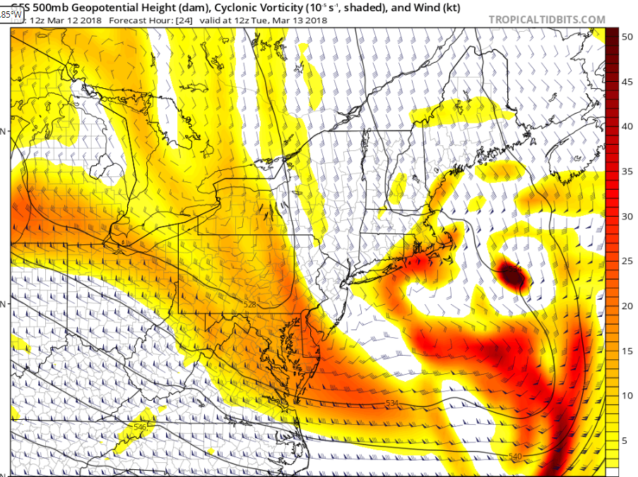
March 13th ... west Atlantic bombogenesis type low clipping SE New England, more certain ...may be expanding inland
in New England
Posted
Don’t know how reliable that is but wowwww