
NepaJames8602
-
Posts
361 -
Joined
-
Last visited
Content Type
Profiles
Blogs
Forums
American Weather
Media Demo
Store
Gallery
Posts posted by NepaJames8602
-
-
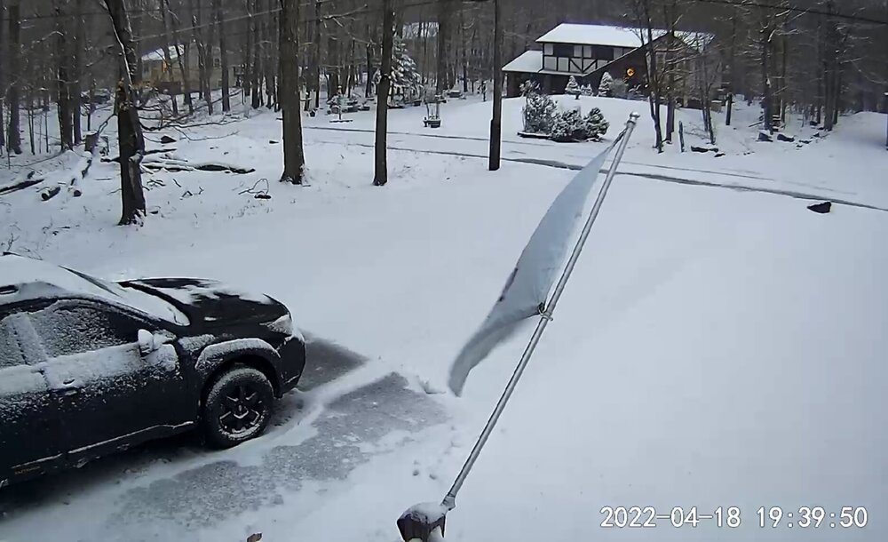
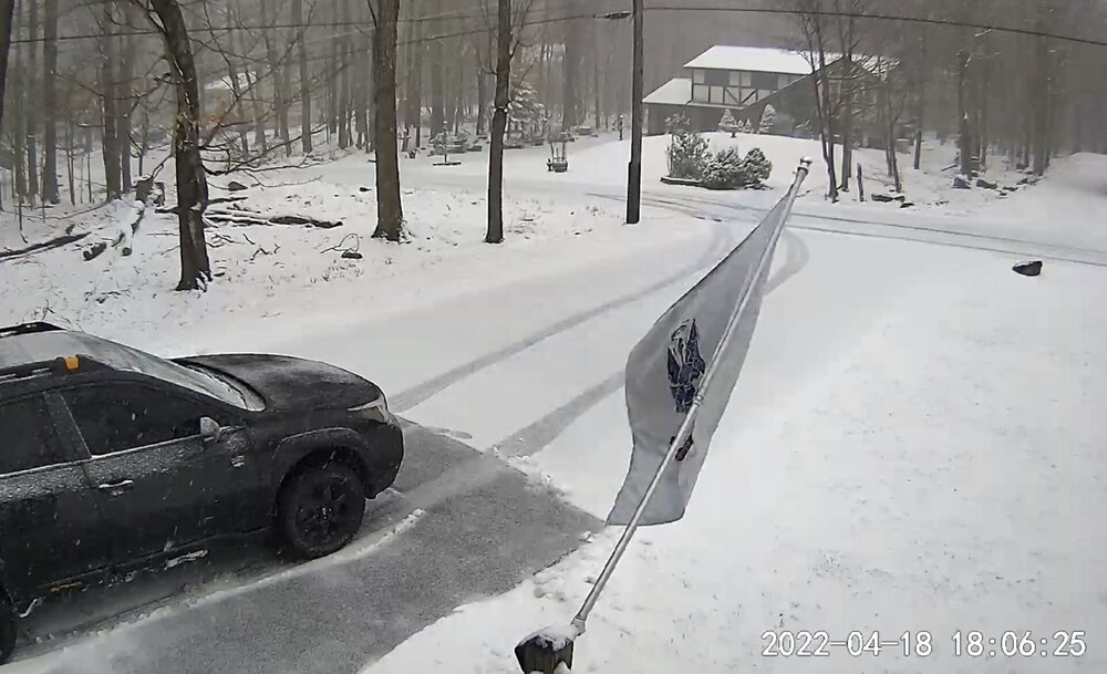
Got shafted even here in the far western Poconos, warm air aloft changed me over to sleet and even rain for most of the night. We are back to light snow now. Received about 3 inches of snow. Totals in far northern Pa near the Ny/Pa twin borders are in the 8 to 12 inch range at elevation.
-
My house currently in Newfoundland Pa, elevation 2,075’. I’m located on the Nw side of the Pocono Plateau. Roughly one inch so far, and light to moderate snow, temp is 32 degrees. 18z Rgem, Gfs, and some other short range guidance hammer my area with up to 12”inches overnight. I guess we will see how it looks in the am. Roads up here are already a mess.
-
 10
10
-
-
Snowing real good here in the Poconos, temp has crashed near 32 degrees and sticking to everything. Roads are a mess here above 2k.
-
4
-
-
Nice snowy morning here in the Poconos. Nothing is sticking to the roads, only the grass and colder surfaces. Temperature right around 32 degrees here at 2,075’.
-
4
-
-
Last batch has now cleared the Poconos, received an additional 1.5 to 2” inches since a few hours ago. Everything is cleaned up outside, and final total is 8.0” here in the Poconos. Largest storm of the season lol. Winds are howling and temps have continued to crash, now at 14 degrees. Forecast low is 8.
-
1
-
-
7.0” inches here in the Poconos and snowing lightly, radar is really falling apart. It’s about wrapped up out here.
-
2
-
-
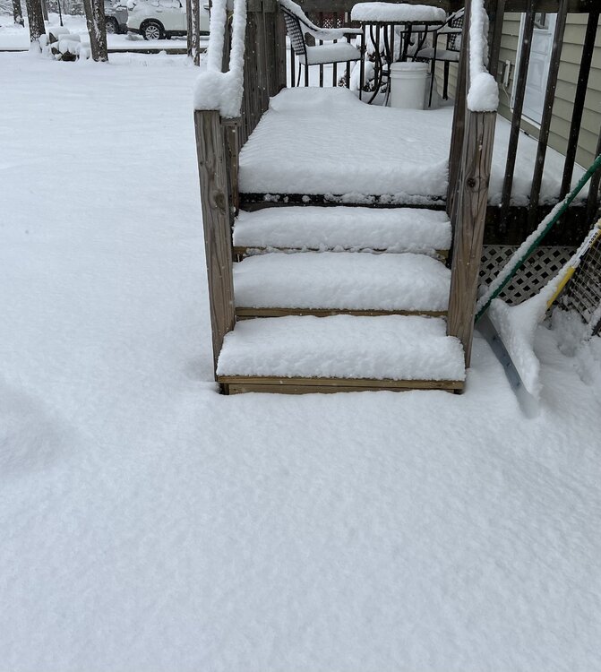
Clean up number one complete, going to say 6.0” so far and snowing moderately. Im not very impressed with the rates here, but overall great storm. It’s a cold March storm!
-
20 degrees, moderate snow and eyeballing 3 to 4.0” inches on the deck so far. I can’t believe how cold it got already here. Pure powder here.
-
1
-
-
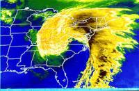
Binghamton NWS honking for up to a foot from the Poconos to the Catskills.
Winter Storm Warning
URGENT - WINTER WEATHER MESSAGE
National Weather Service Binghamton NY
401 AM EST Fri Mar 11 2022

NYZ046-057-062-PAZ040-048-072-120915-
/O.UPG.KBGM.WS.A.0005.220312T0600Z-220313T0600Z/
/O.NEW.KBGM.WS.W.0005.220312T0600Z-220313T0000Z/
Otsego-Delaware-Sullivan-Northern Wayne-Pike-Southern Wayne-
Including the cities of Oneonta, Delhi, Walton, Monticello,
Damascus, Equinunk, Milford, and Honesdale
401 AM EST Fri Mar 11 2022

...WINTER STORM WARNING IN EFFECT FROM 1 AM TO 7 PM EST
SATURDAY...

* WHAT...Heavy snow expected. Total snow accumulations of 7 to 12
  inches. Winds gusting as high as 40 mph.

* WHERE...In Pennsylvania, Northern Wayne, Pike and Southern
  Wayne counties. In New York, Otsego, Delaware and Sullivan
  counties.

* WHEN...From 1 AM to 7 PM EST Saturday.

* IMPACTS...Travel could be very difficult. Areas of blowing
  snow could significantly reduce visibility.

* ADDITIONAL DETAILS...Heavy snow could produce snowfall rates of
  1-3 inches per hour for a time late tonight through midday
  Saturday.

PRECAUTIONARY/PREPAREDNESS ACTIONS...

If you must travel, keep an extra flashlight, food, and water in
your vehicle in case of an emergency.

The latest road conditions for the state you are calling from can
be obtained by calling 5 1 1.

The Pennsylvania Department of Transportation and Pennsylvania
Turnpike Commission strongly encourage motorist to heed all
travel restrictions and delay unnecessary travel. Visit
www.511pa.com for the latest travel, roadways, and traffic
conditions.

&&

$$
-
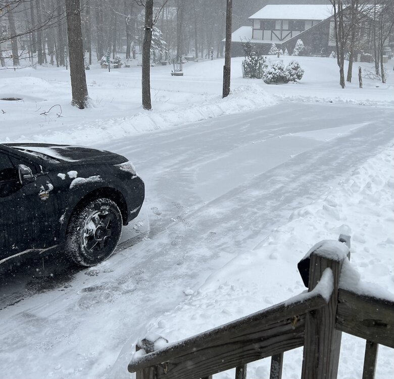
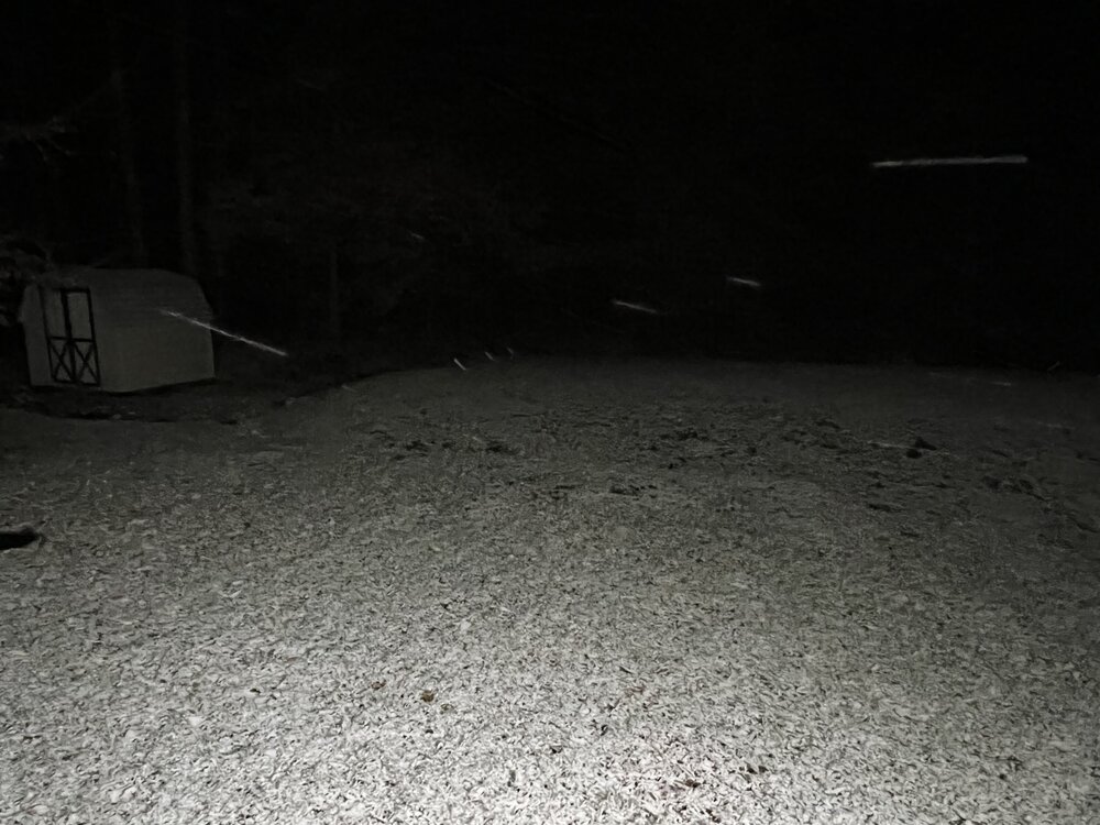
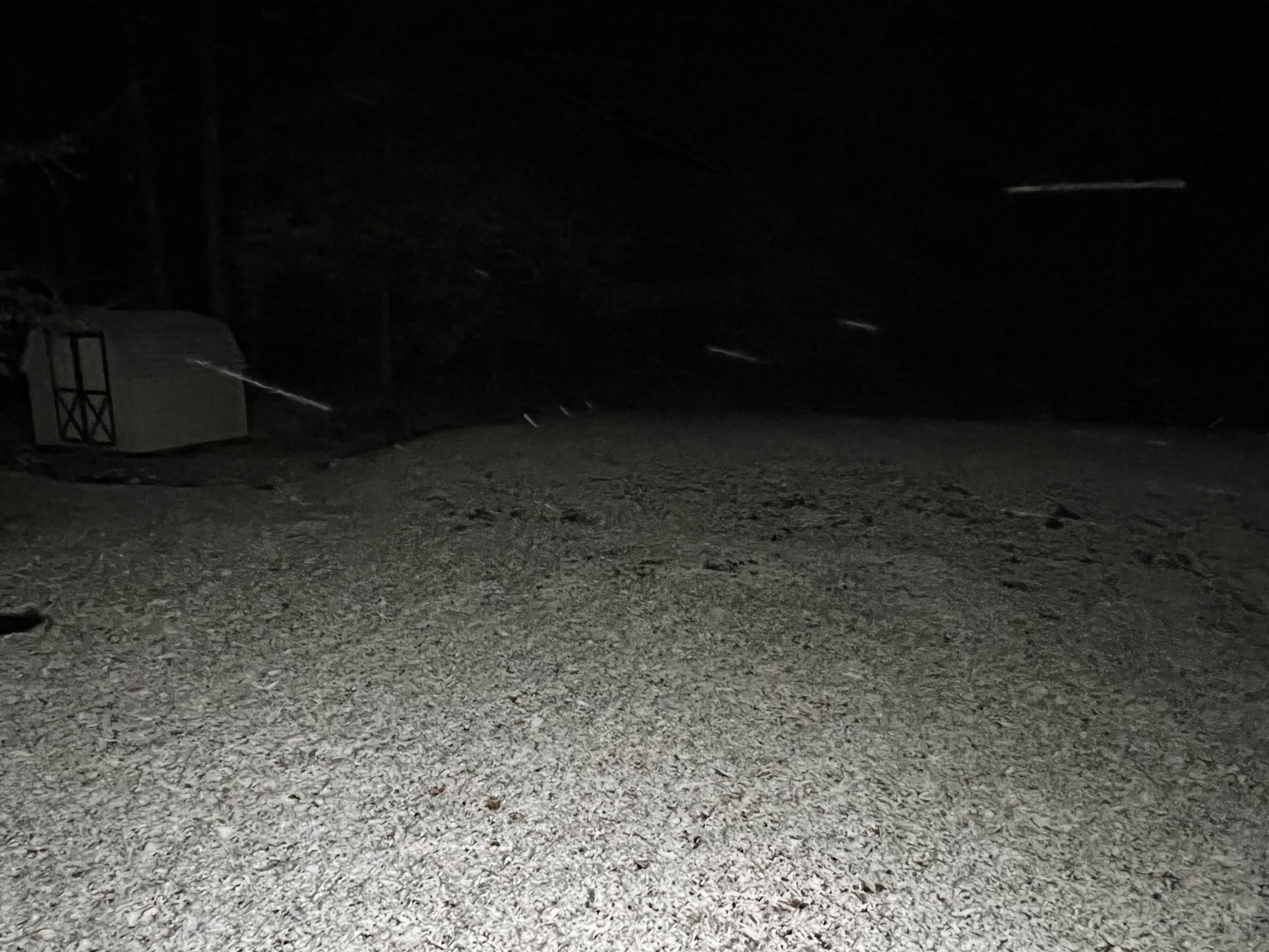
Awesome little event here in the Poconos above 2k. 6.0” on grass and deck, a bit less on paved surfaces. Picture was taken one hour ago, tacked on a bit more since then. This was truly an elevated event out here, anyone under 1k in the valley received an inch of slush tops.
-
5
-
-
Didn’t even manage one flake here in the Poconos it looks. I heard sleet banging the windows from the getgo. I’m actually ready for spring, and to leave this season in the rear view lol.
-
5 hours ago, snywx said:
Good possibility because I do waking up to much more than what was expected. What a disaster of a year snow wise for us lol. What’s even more odd is how we managed 30+ days of consistent snowcover
You can say that again, I’m on the Pocono Plateau at an elevation of 2,075’ where I average right around 70.0”. I don’t even think I have 20.0” for the season lol. Downright embarrassing winter for snow lovers. I know winter isn’t over, and we can easily get snow well into April. However, in a matter of weeks it’s a wrap. I can’t see making up any substantial ground. I guess you win some, you lose some.
-
3
-
-
Goose egg here above 2k, -5 lower elevations surrounding my area.
-
1
-
-
Average Pocono amounts coming in seem to be around 6-9” inches. I’m going to say an even 8” here. Impressive event for sure, giving the horrible track. The warning not only verified here, but on the higher end at that. I believe I held onto all snow until atleast 2 am. Snowing lightly on the backside now as well. Never got above freezing and it’s 30 degrees now.
-
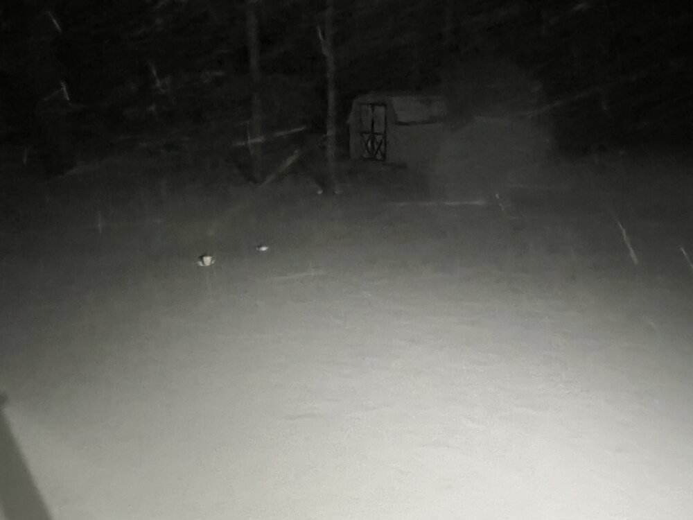
Hard to get a decent photo with the wind lol.
-
1
-
-
4 minutes ago, snywx said:
Heavy snow here
If these rates continue we will def bust on the high end
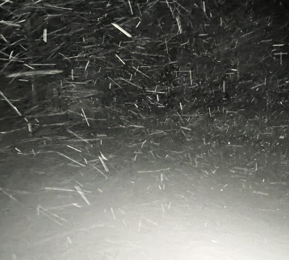
Agreed, it’s absolutely pounding snow here in the Poconos with winds 35 to 40mph. Easily 6” inches here. Impossible to measure with drifting.
-
1
-
-
Heavy snow continues here on the Pocono Plateau, temp is hovering around 22 degrees and slowly climbing. I’m going to eyeball about 4”, stuff is blowing all over the place and hard to measure. Maybe Binghamton NWS warning for 5 to 9”, isn’t as far fetched as I was thinking earlier for my area. Just need to see how long it stays snow before the inevitable flip.
-
2
-
-
-2 in my area of the Poconos currently.
-
2
-
-
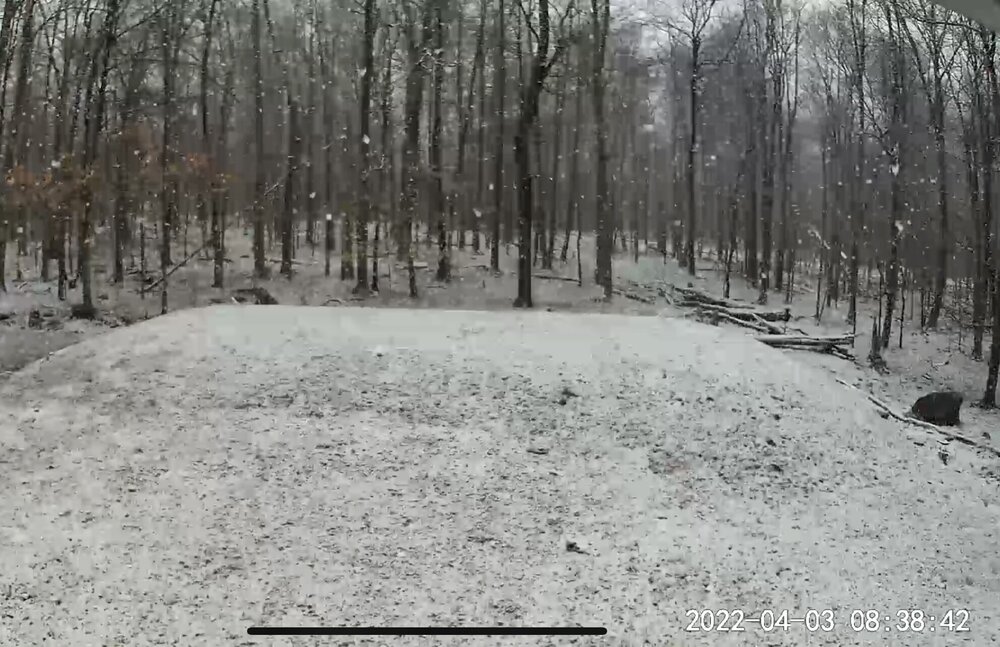
33 minutes ago, Tatamy said:
On the topic of snow it is snowing up in Mt. Pocono this evening with the trough swinging through. This is the second day in a row this has happened. This time it is actually accumulating on grassy areas.
I can confirm this. There is a coating on the grass here in Newfoundland Pa, 30 min north of Mt. Pocono, on the northern Pocono plateau. Elevation just under 2,100’.

-
1
-
-
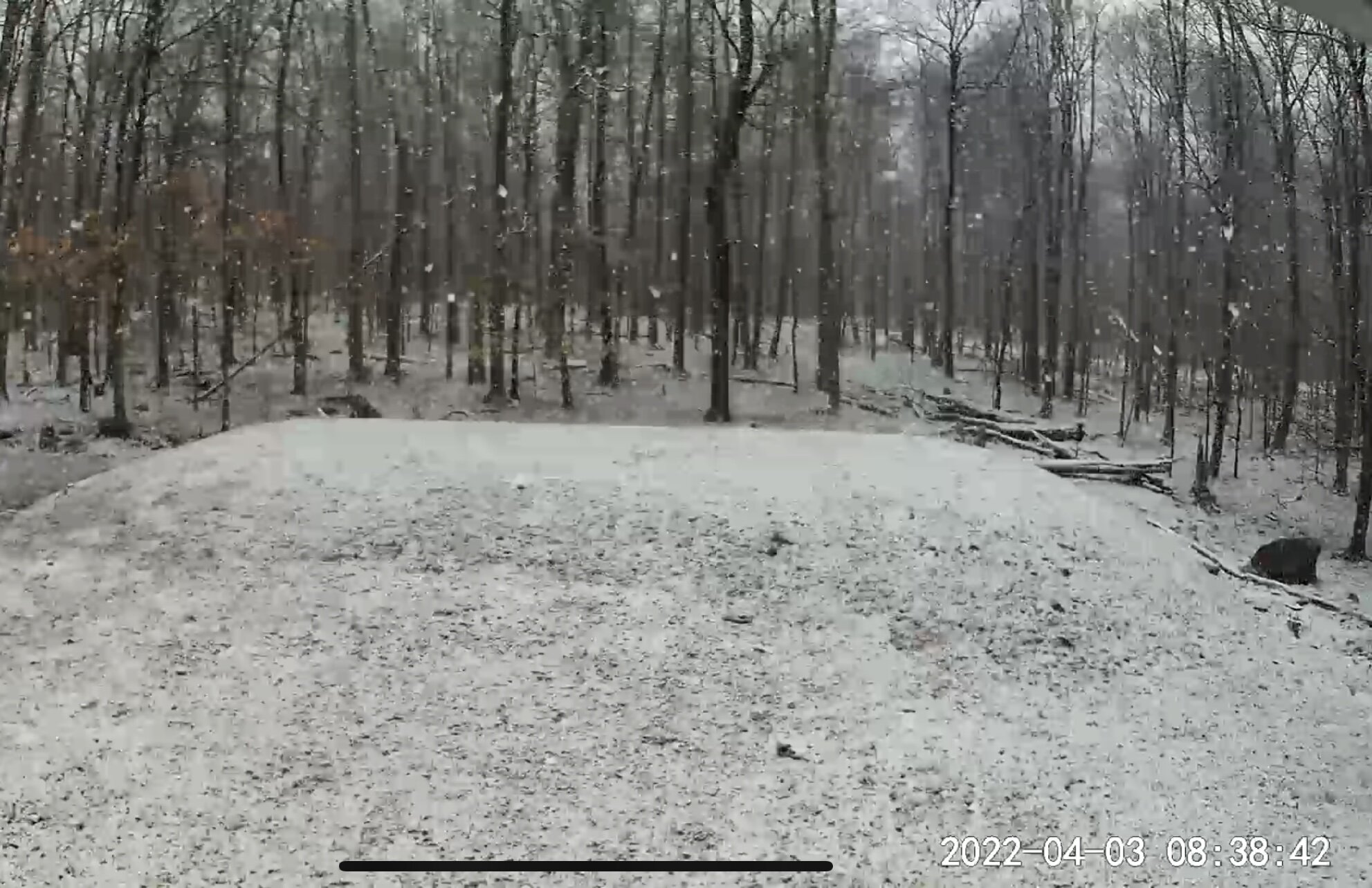
First accumulating snow of the year here in Newfoundland Pa, on the Pocono Plateau just under 2,100’. Temp steady at 32 degrees.
-
2
-
-
6 hours ago, LibertyBell said:
Latitude doesn't matter as much as elevation here I guess.....I'm pretty much snowed in. We had 3 inches last night, and I measured snow depth in various places, it's over 20 inches everywhere it seems, I'd say an average of about 25" and 4 feet drifts up against my deck. This is going to take a long time to melt. It's hard as a MF cant see any animal tracks anywhere and that's unusual because I have squirrels, rabbits, foxes, etc. here.
Yes, this is certainly more elevation based. Once you go 10 miles to my north and drop off the plateau, there is only a few inches of snow pack and grass already showing. That’s at 1,400 to 1,500’ feet. I also took a drive out near Scranton/Wilkes barre in the valley city area yesterday, and they literally have no snow pack in most areas under 1,000’ feet, just bare ground.
-
1
-
 1
1
-
-
21 hours ago, LibertyBell said:
Couldnt get into my house in NE PA because there's about 20 inches of snow everywhere (no drifts). Had to shovel for over 2 hours just so I could open the blocked gate.
I thought the sun of the last 3 days would have melted most of this =\
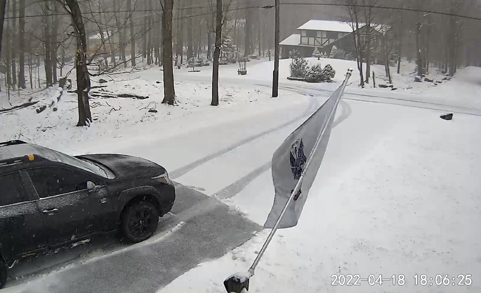
I can vouch for the Poconos still having a very deep snow pack, especially at and above 2k. I just measured 2 spots in my front yard, and 2 spots in the backyard. Pretty uniform amounts between 18 to 19” inches on the ground. This stuff is like a glacier too. I’m liking the slow melt.
-
2
-
-
I’m at work, checked my cam and it’s snowing like hell back home. I’d say a good half inch to inch so far. Bing NWS issued a special weather statement, for 1 to 3 inches through early afternoon. What a month this Feb has been, just unreal. Today should put me over 90.0” inches for the season. I’m honestly ready for spring at this point lol.
-
2
-
-
Temp is 25 degrees with light to moderate snow out here in the Poconos. The rates haven’t been all that impressive. Going to say roughly 2.0” have yet to measure. It’s drifting pretty bad, with wind gust cranking 25 to 30mph on the plateau. Looks like the back edge will be through here in about 2 to 3 hours, nice small event!
-
1
-


Interior NW & NE Burbs 2022
in New York City Metro
Posted
Awesome storm for the twin tiers for sure!