
David-LI
-
Posts
1,248 -
Joined
-
Last visited
Content Type
Profiles
Blogs
Forums
American Weather
Media Demo
Store
Gallery
Posts posted by David-LI
-
-
GFS doesn't seem to have the strong winds shown in the euro.
-
Hoping for a bigger lightning show
-
This looks interesting
-
 1
1
-
-
I wonder if schools are open in Long Island due to state of emergency?
how are things in Long Island? I haven’t been outside actually working indoors
-
Just now, gmendevils8204 said:
Just brutal. Wouldn’t want to be a claims adjuster around here in the coming weeks.
Make a deal with citi bike and rental scooter companies for people to get around for free or at discount
-
1
-
-
4 minutes ago, Rmine1 said:
LI is lighting up. Ugh
What do you mean by lighting up?
-
Seeing patches of blue sky opening up in north Nassau county
-
Must be tough being a TV met and looking back at your wind graphics of 30/60 mph
-
 2
2
-
-
1 minute ago, jlauderdal said:
If you didnt go before the rush, wait until the very end, stores will be empty...works in sofla everytime..its the bell curve effect.
Sent from my SM-G991U using Tapatalk
Very end of what lol
-
1
-
-
2 minutes ago, Rjay said:
Weak sauce but super lolz at the 100 mile jump west
Hm could be catching up to something
-
7 minutes ago, CIK62 said:

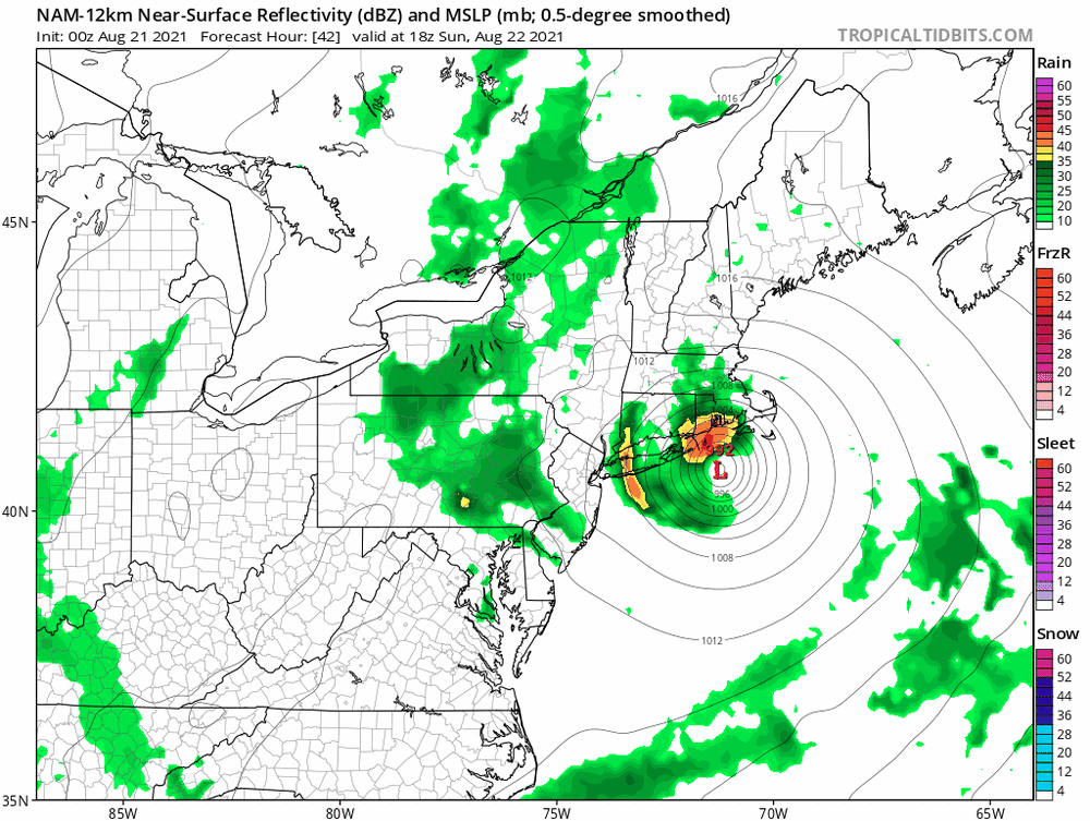
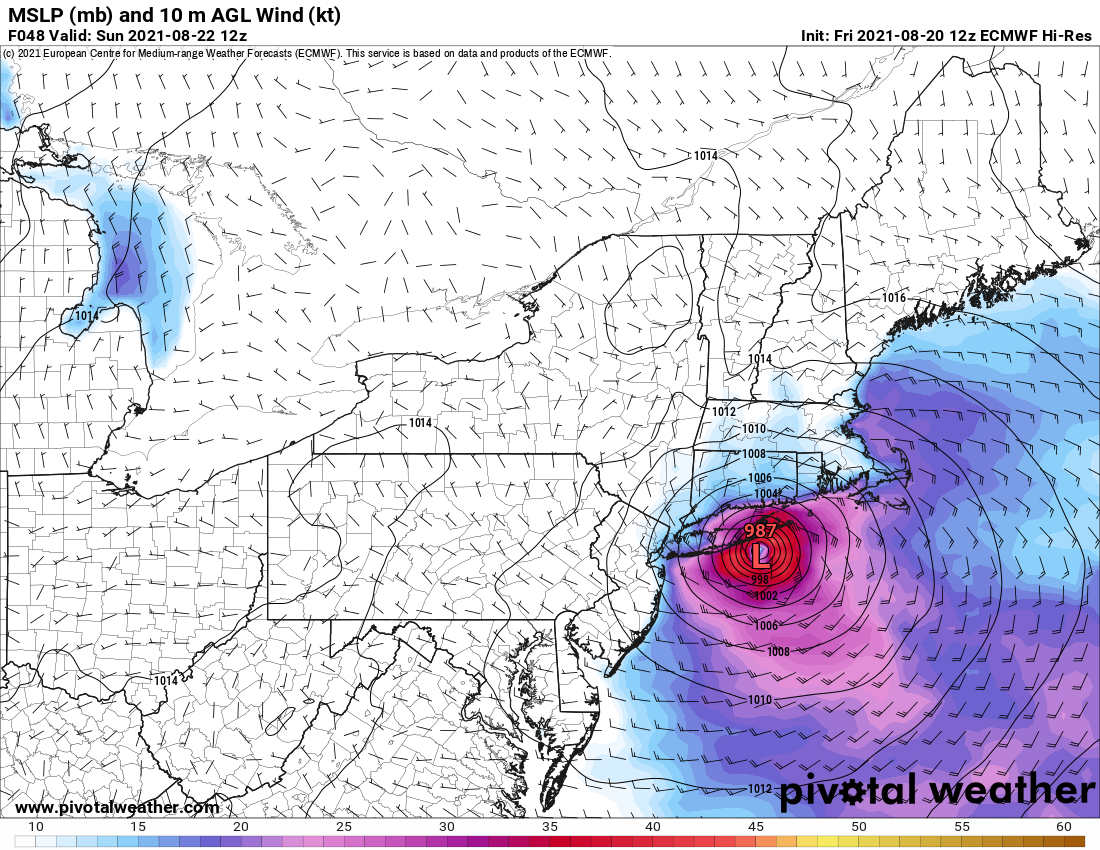
Separately: Eye should cross LI at 72.4 in about 45 hours. This would be near Southampton. H.W. is already up for the area.
Forecast Track
Time of Latest Forecast: 2021-08-20 18:00
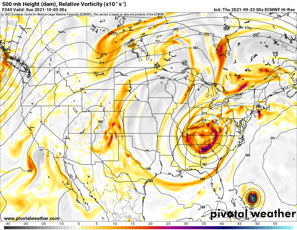
Forecast Hour Latitude Longitude Intensity 0 30.8 286.2 60 12 32.8 286.7 65 24 35.8 287.7 75 36 38.9 288.1 75 48 40.8 287.6 65 72 42.9 287.4 30 96 43.8 291.1 25 120 0.0 0.0 0 Great not only losing power, but we are also getting Cum Wind
-
6
-
-
Just now, Will - Rutgers said:
many models, some of the best models, are saying Henri is so weak. he's a total disaster, OK? his inner core, it's so fake and so bad. no one has seen dry air intrusion like this, believe me.
"We should shoot Henri. The best thing when you see a hurricane is you shoot it. Believe me."
-
1
-
-
-
-
Just now, Sn0waddict said:
Um that’s not the 993mb low the other maps shows. Wtf!
My guess is that some websites use their own calculations with data provided by the model to produce a map. Hence the discrepancy in pressure on different websites. That's just a guess I have no idea how it works.
-
-
If it makes landfall in Nassau County as Ukie shows I guess I'll have some gusts followed by calm winds while the center of storm passes over us.
-
1
-
-
Canadian with a landfall in Central Long Island. Noting that it started fairly weak.
-
1 minute ago, MJO812 said:
Heard the Ukie is into NYC. Anyone have maps ?
Nothing on Pivotal Weather yet.
-
2 minutes ago, Nibor said:
12z GFS landfalls Montauk
I wonder if it can make a double landfall as Cat 1, First Montauk then CT
-
1 minute ago, WeatherHappens said:
GON?
New London airport in CT
-
 1
1
-
-
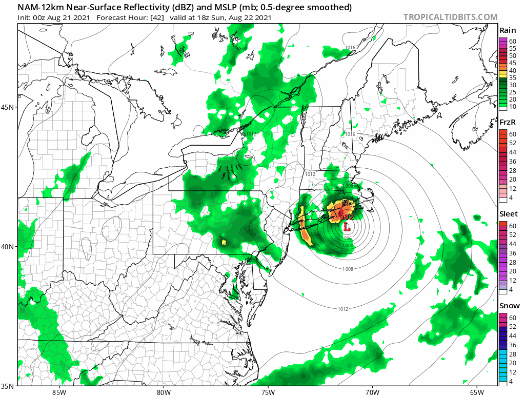
It appears the GFS at hr 48 is a few miles west and a few mb stronger compared to 06z. Looks like a Twin Forks landfall.
-
1
-
-
I just know that only a few hours of decent sustained winds and chances are high that power goes out in my area. It always does with windy storms let alone a Cat 1 or TS.
-
1 minute ago, Bruinsyear said:
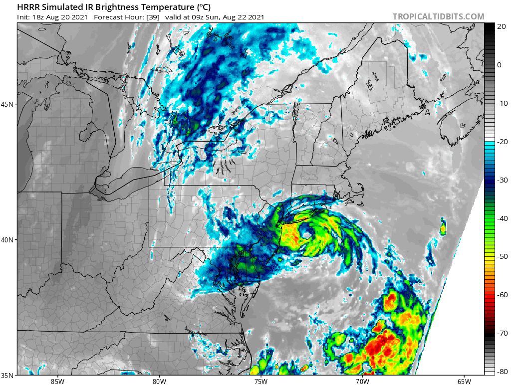
I have not posted in ages, but this could be a storm for the ages. Anyone see the IR detonate the last 6 frames?
Explosion, like a gravity wave....very impressive.
God pushed the ignite button

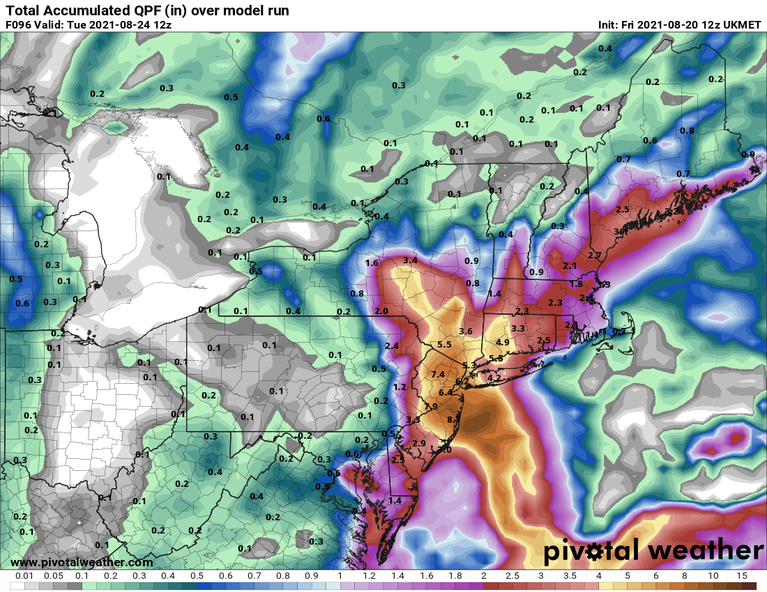
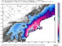
Two large rain/wind events 10/25-26, 10/28-30 w probable totals by Oct 31 of 2.5-8" in the NYC subforum, damaging wind and SVR potential for one of these storms
in New York City Metro
Posted
I like the visible eye at hour 61.