
TWCCraig
-
Posts
2,574 -
Joined
-
Last visited
Content Type
Profiles
Blogs
Forums
American Weather
Media Demo
Store
Gallery
Posts posted by TWCCraig
-
-
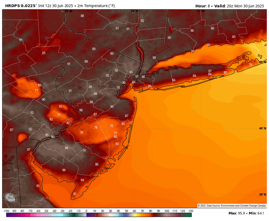
90/77
Feels like 103
4th 90+ day for my station
-
 1
1
-
-
Low of 61.3 this morning. Some elevated wildfire smoke in the skies today unfortunately but the majority of it should stay away from the area
-
1
-
-
Light rain but the gust front just came through. Ripping 35mph+ right now
-
1
-
-
Nice sunshower here
-
Barely light rain here yet we had a close strike of lightning with thunder
-
1
-
-
34 minutes ago, WestBabylonWeather said:
Violent thunder woke me up around 1am. Is fire island ok?
We can't seem to get a good thunderstorm when we want one so having one at 1am when no one wants it and also wakes everyone up will have to do
-
2
-
-
41 minutes ago, Sundog said:
I'm in the low 90s. I thought it was supposed to be like 87 today?
GEMLAM lol not bad
-
2
-
-
Rained last night, dropped to 76 last night then the temp rose to a high of 81 around 4am which is unheard of. Having temps rise above 80 at night only to drop into the 60s in the 70s during the day in late June is pretty impressive
-
87/72
About to get some rain
-
Sea breeze beginning its march north. The sea breeze held off longer than it did yesterday. Imagine today's winds with yesterdays temps all of LI would have been solidly above 100
-
1
-
-
-
4 minutes ago, LibertyBell said:
and it's June when many people the SST would keep it much cooler.
Easily stayed 95+ the majority of the time with a sea breeze.
I only just dropped below 90 now
-
1
-
-
Westerly wind making a comeback on the radar but its getting late. Going to be a very warm evening
-
2
-
-
-
5 minutes ago, Sundog said:
Joy
Woops, I was looking at the wrong day, sound familiar? lol
But most models still have high 90's so 100 wouldn't be out of the question. Storm chance tomorrow
-
2
-
-
-
Hovering around 97
Sea breeze actually got suppressed a bit
-
2 minutes ago, donsutherland1 said:
JFK has hit 100 for the first time on record in June.
It's like Christmas for Liberty Bell
-
3
-
 1
1
-
-
2 minutes ago, LibertyBell said:
barrier islands?
still due north wind here
Great River area near Heckscher state park has a sea breeze
You'll be better the further west you are
-
1
-
-
96/69
Sea breeze showing up on the immediate south shore. Slowly crawling, hope it stalls there
-
95 on my new station. Loving the accuracy
Should get close to 100. Probably 97-99
-
89/74
Skyrocketing, I'm not expecting 100 here but should get close. ISP may reach 100
-
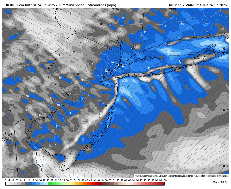
HRRR has the sea breeze staying close to the coast. This should help coastal locations approach and exceed 100

-
1
-
-
79°F dew point at JFK and still 90 degrees. 78°F dew point here, the sea breeze isn't bringing any real comfort. Not with dew points near 80

July 2025 Discussion-OBS - seasonable summer variability
in New York City Metro
Posted
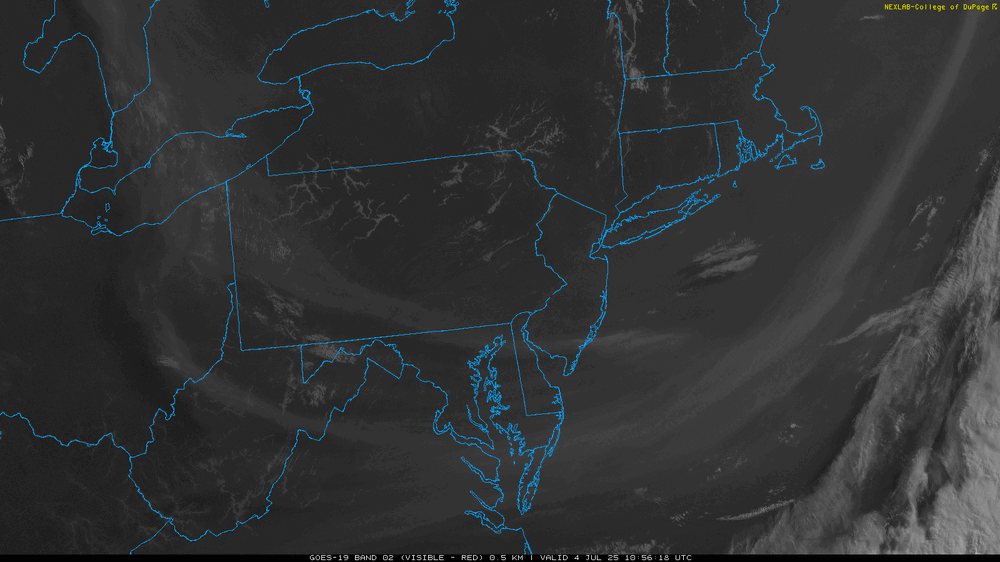
0 clouds over the ocean with a stable marine layer and cumulous developing over land as expected. When you see forecast highs in the 90s, its probably not going to be that cloudy. Not bad beach weather, more sun and less chance of rain closer to the water