hsq
-
Posts
75 -
Joined
-
Last visited
About hsq

- Birthday May 24
Recent Profile Visitors
1,831 profile views


-
It’s starting accumulating here in Huntingtown Calvert County except where there has been puddles/standing water. Big rates right now. 32.2F
-
Its trying, Starting to get some slushy accumulation. Huntingtown 33.6F

-
Down to 34 now in huntingtown
-
Wow down to 34.7 already. Greater than 60% snow now. Will keep that way as long as these darker bands stay. Its doing wonders cooling down the lowest layer here.
-
Amen. And the tribute to Johnny Hockey ... Just huge. Is it dusty in here??
-
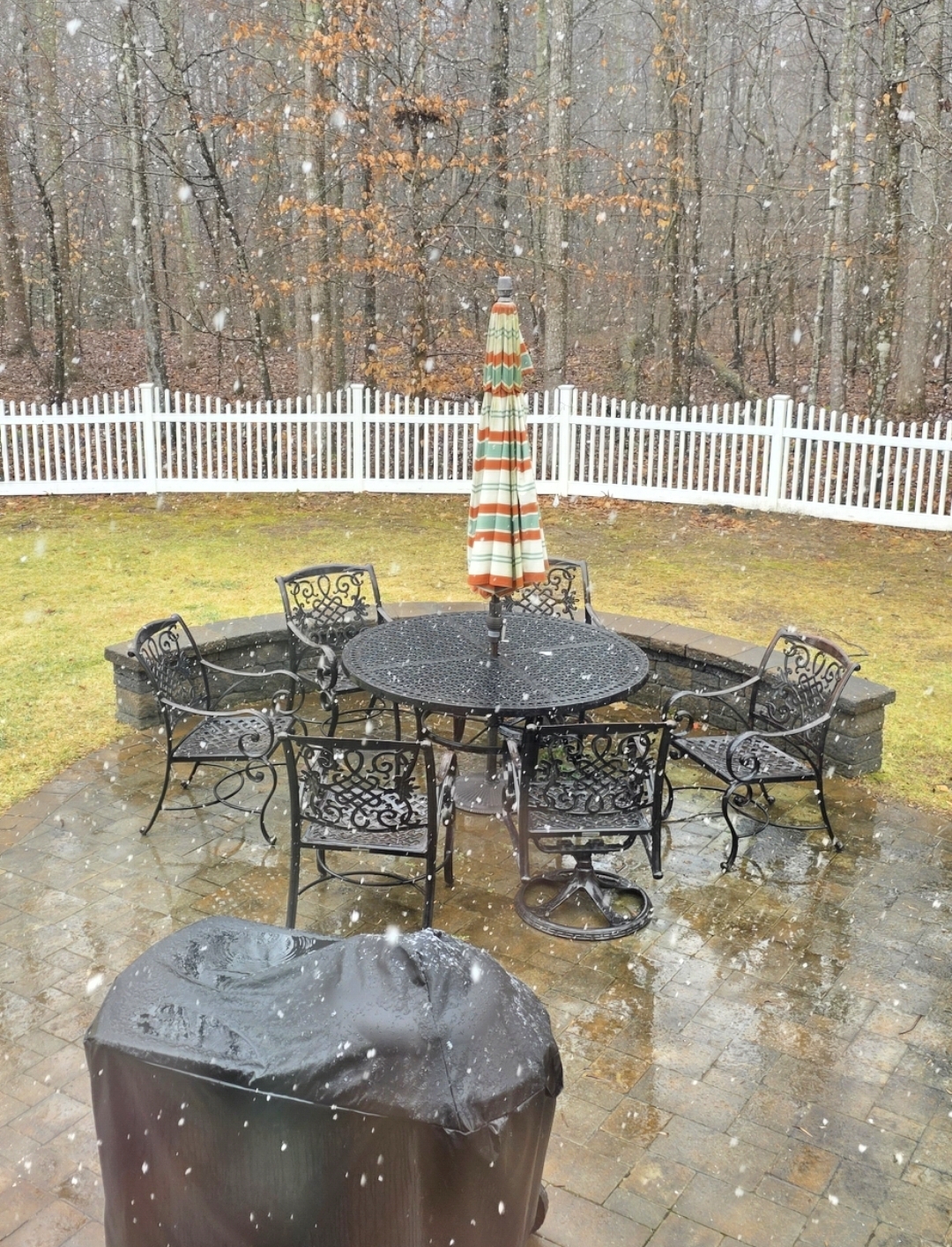
Big flakes mixing in now in huntingtown calvert county md. More rain than snow, but nice to see! Only down to 36.0 at this point.
-
32.2/31.9 really dropping tonight
-
Now 32.7/31.8 at 20639
-
Yep. SE Zones lost ~0.5”
-
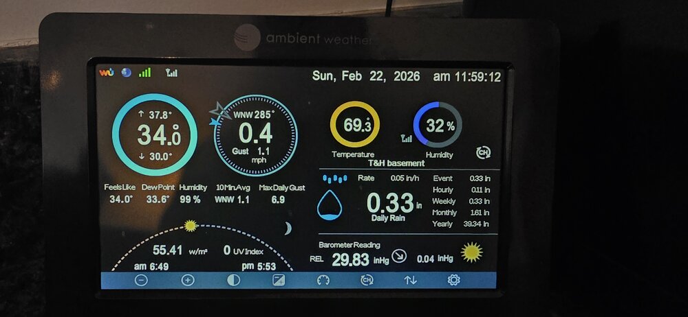
Surprised to see I’m down to 32.5 already tonight. DP 31. https://preview.wunderground.com/dashboard/pws/KMDHUNTI5 I know it will torch in the morning post sunrise, but I’m going to just hug the fact that it’s so close to freezing now :).
-
Wait til the 0z GFS kicks into this
-
Hmm Calvert county is feeling pretty good right now.....
-
The Jan 31 Potential: Stormtracker Failure or 'Tracker Trouncing
hsq replied to stormtracker's topic in Mid Atlantic
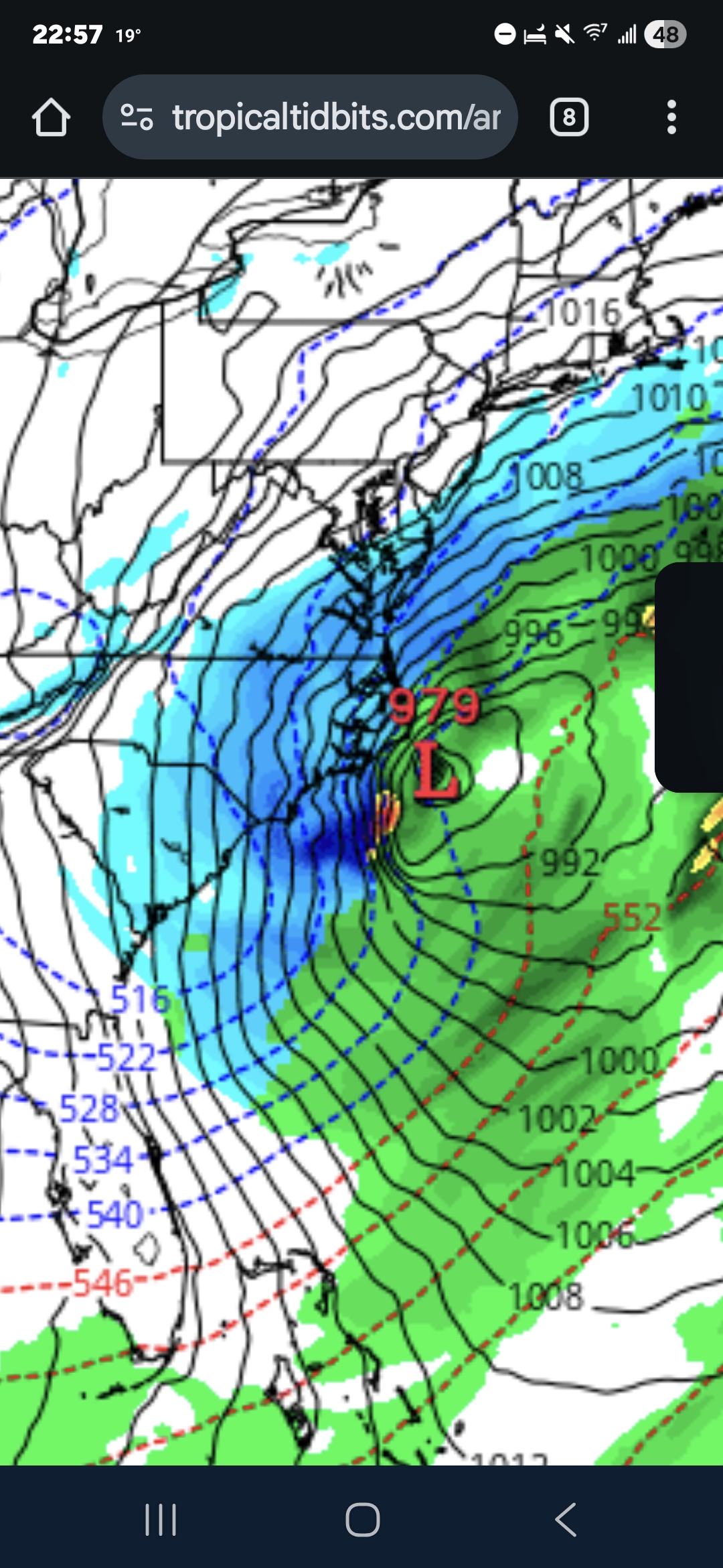
966mb low 200 nmi SE off the coast of cape cod at the end of the run! i'd wish sailors enjoyment but that certainly would not be fun to get stuck in -
The Jan 31 Potential: Stormtracker Failure or 'Tracker Trouncing
hsq replied to stormtracker's topic in Mid Atlantic
Next two panels look better, not great though
-
The Jan 31 Potential: Stormtracker Failure or 'Tracker Trouncing
hsq replied to stormtracker's topic in Mid Atlantic
Cyclogenesis going on at the surface under those messy dashes Ah. Thank you!