
NorEastermass128
-
Posts
9,181 -
Joined
-
Last visited
Content Type
Profiles
Blogs
Forums
American Weather
Media Demo
Store
Gallery
Posts posted by NorEastermass128
-
-
Next weekend looking rainy already? Time to start taking random days off in the middle of the week.
-
 2
2
-
-
Just did an hour of yard work in a long sleeve and barely broke a sweat.
-
1
-
-
2 minutes ago, WxWatcher007 said:
Banner day everywhere but here
Fine by me. I’ll take 364 more days just like this one.
-
On 4/19/2025 at 11:41 AM, alex said:
Just flew on Emirates on my way to Maldives for my first time and holy cow. They make our airlines look like third world.
Well…
-
1 minute ago, wokeupthisam said:
The transition of scenery between mid April and mid May is the inverse of mid-October to mid-November. Sticks / brown to green leaves and grass, and vice versa.
Won't mind the snowy scenery going on hiatus until late Nov or early Dec
I’ll take that on Dec 25th
-
1
-
-
12 minutes ago, SJonesWX said:
it's close, you want soil temps above 50. usually forsythia blooms are a good indicator of when it is time-but keep in mind shady areas need more time (and you really don't want cold nights)
Maybe I’ll hold off until next week. I wanted to do it before this weekend’s rain, but if it will end up being a waste, maybe I’ll wait.
-
Too early to throw down some grass seed to repair patches?
-
Happy Opening Day!
-
2
-
-
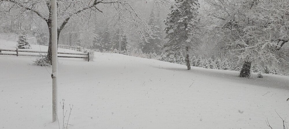
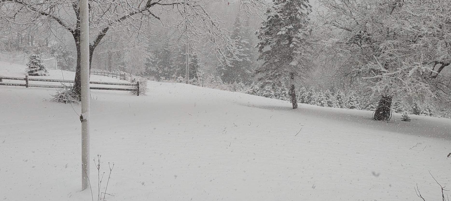
I’m getting that feeling that we see a sneaky 2016 type event this year in SNE.
-
2
-
 1
1
-
-
Snizzle in BVY. This sucks.
-
Downed tree on my street. Man, I hate the wind.
-
 2
2
-
 2
2
-
-
-
On 2/10/2025 at 7:05 PM, NorEastermass128 said:
+6”
24” to date
+5” (2/16)
29” to date
-
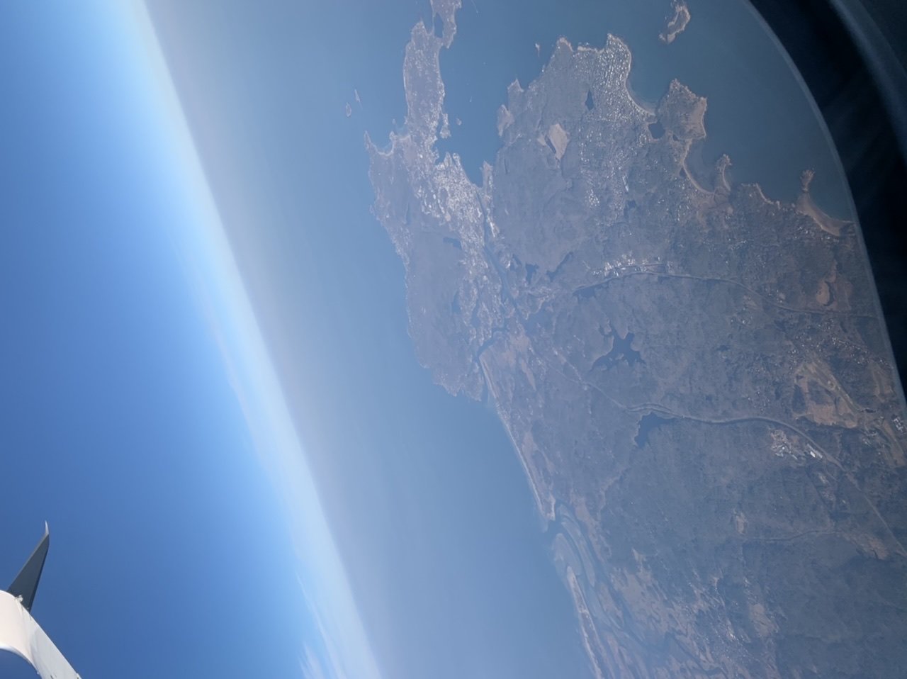
Best case scenario, this hits during the day Thursday. I experience it and then fly out at 0700 Friday morning to RSW.
-
55 minutes ago, CoastalWx said:
Gonna lost a lot today
Melt it all down to the grass.
-
 1
1
-
1
-
1
-
-
7 hours ago, weathafella said:
Euro is a blizzard on the 20th/21st
Crap. Flight to RSW on the 21st at 0700. I’ve been really looking forward to this trip.
-
On 2/7/2025 at 7:40 AM, NorEastermass128 said:
+2” (2/6)
18” to date
+6”
24” to date
-
My brother just called me in a panic about next weekend's storm. He's supposed to be flying out to FLL on Sunday morning. I told him that the airline will likely let him move up his flight to Saturday if Sunday looks bad. I wonder if he should pull the trigger by midweek if this thing still looks like a big 'un.
-
RTO begins this Monday. What a week shaping up to be hitting the roads to commute again.
-
1 minute ago, CoastalWx said:
3 years of melts have led to an accumulation of 40” of snow during that time. Just saying.
I just updated my snowfall tally in the other thread. I feel like we’re now in the throes of a KU winter. My current total? 18” to date.

-
On 2/3/2025 at 7:50 AM, NorEastermass128 said:
+1” (2/1)
+1.5” (2/3)
16” to date
+2” (2/6)
18” to date
-
On 1/29/2025 at 9:50 AM, NorEastermass128 said:
+1.5” (1/29)
13.5” to date
+1” (2/1)
+1.5” (2/3)
16” to date
-
Car paid off. Canceled Max, Netflix, Prime, YouTube TV in the past week. Feels freeing. Dropped internet speeds due to RTO, so that bill got cut in half. Phone plan is next on the chopping block. Any good plans? Boost Mobile, Mint?
-
4
-
-
On 1/20/2025 at 2:19 PM, NorEastermass128 said:
+4”
11” to date
+1.5” (1/29)
13.5” to date

June 2025 Obs/Disco
in New England
Posted
Congrats!