

Hitman
-
Posts
2,978 -
Joined
-
Last visited
Content Type
Profiles
Blogs
Forums
American Weather
Media Demo
Store
Gallery
Everything posted by Hitman
-
I’m up in vt and it was in the upper 90’s this afternoon. Glad I’m not running the ac at home.
-
Was it even forecasted to rain last night? 1.16” overnight. 3.14” for the month.
-
Finished with 1.35”. Needed.
-
.89” here
-
Only .15” at least the car got a rinsing.
-
Ended up with just under 2” for the weekend.
-
Inch on the nose today. 1.72” for the event.
-
Solid soaking. 1.3” so far. 2.8” for the month.
-
.69” here along with a tree limb hung up on wires blocking my driveway.
-
I drove through a pretty heavy downpour on the taconic yesterday. Unfortunately at home it didnt rain much and I had to water the grass seed I put down on sunday (in a vain attempt to making the front lawn look less than abominable). 93f in the bronx now.
-
Isnt it too cold to seed now? My grass is terrible.
-
.7” and counting. As nice as it was yesterday, today is nasty.
-
low of 26f here.
-
I got down to 27f. I've paid the oil company enough already and would really like to shut the heat off until November.
-
39f in the bronx. anyone liking this needs their head examined. brutal
-
Huh! I reached out to him privately in preparation to going to BC a few years ago about staying in Rossland. He was very nice and helpful with recommendations and what not. I assumed he was originally from around here before moving there but I guess I was wrong. RIP
-
Uggg. Sorry.
-
Rolling thunder, lightening and a heavy downpour.
-
Winters back is broken. Mud season.
-
Its more context specific for me. If we've had a good snow year and I'm satisfied then, sure, I don't need more snow just to pad the stats. But if its march 1st and we havent had much prior thereto, I want all the snow I can get.
-
Croton-on-Hudson (actually Cortlandt Manor)
-
Yup looks like another 1-2” here.
-
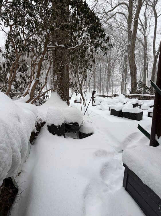
I’m calling it at an approximate 18”. going out for post storm cleanup
-
I reckon’ I got 2-3” since the morning measure but I neglected to clean off the board. I did go for storm drive around the neighborhood. Been awhile since I got to do that. Definitely need some clearance to get around. Still snowing.
-
Measured 14”. Shoveled walkway but its blowing too hard to clear the cars.


