

JJBASHB
-
Posts
778 -
Joined
-
Last visited
Content Type
Profiles
Blogs
Forums
American Weather
Media Demo
Store
Gallery
Posts posted by JJBASHB
-
-
Just flipped to snow in Bedford, Nh.
-
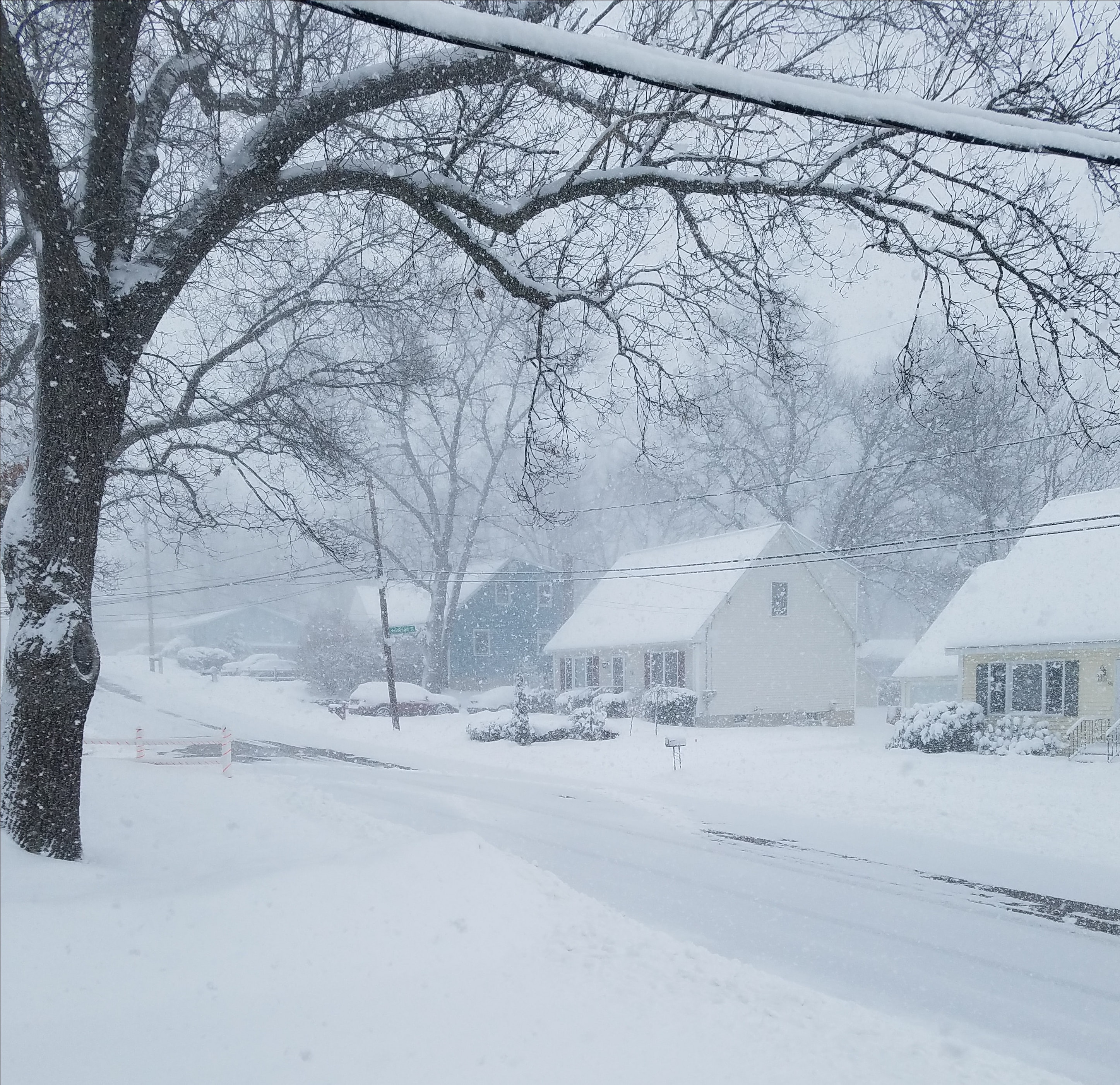
Snow mixing in at my parents house in Ashburnham.
-
 2
2
-
-
-sn has started in MHT.
-
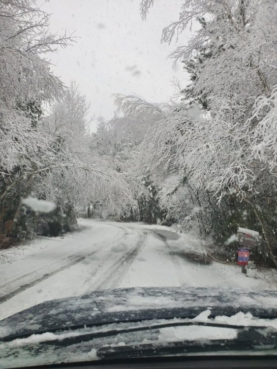
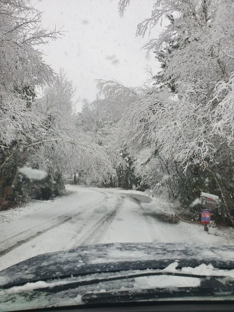
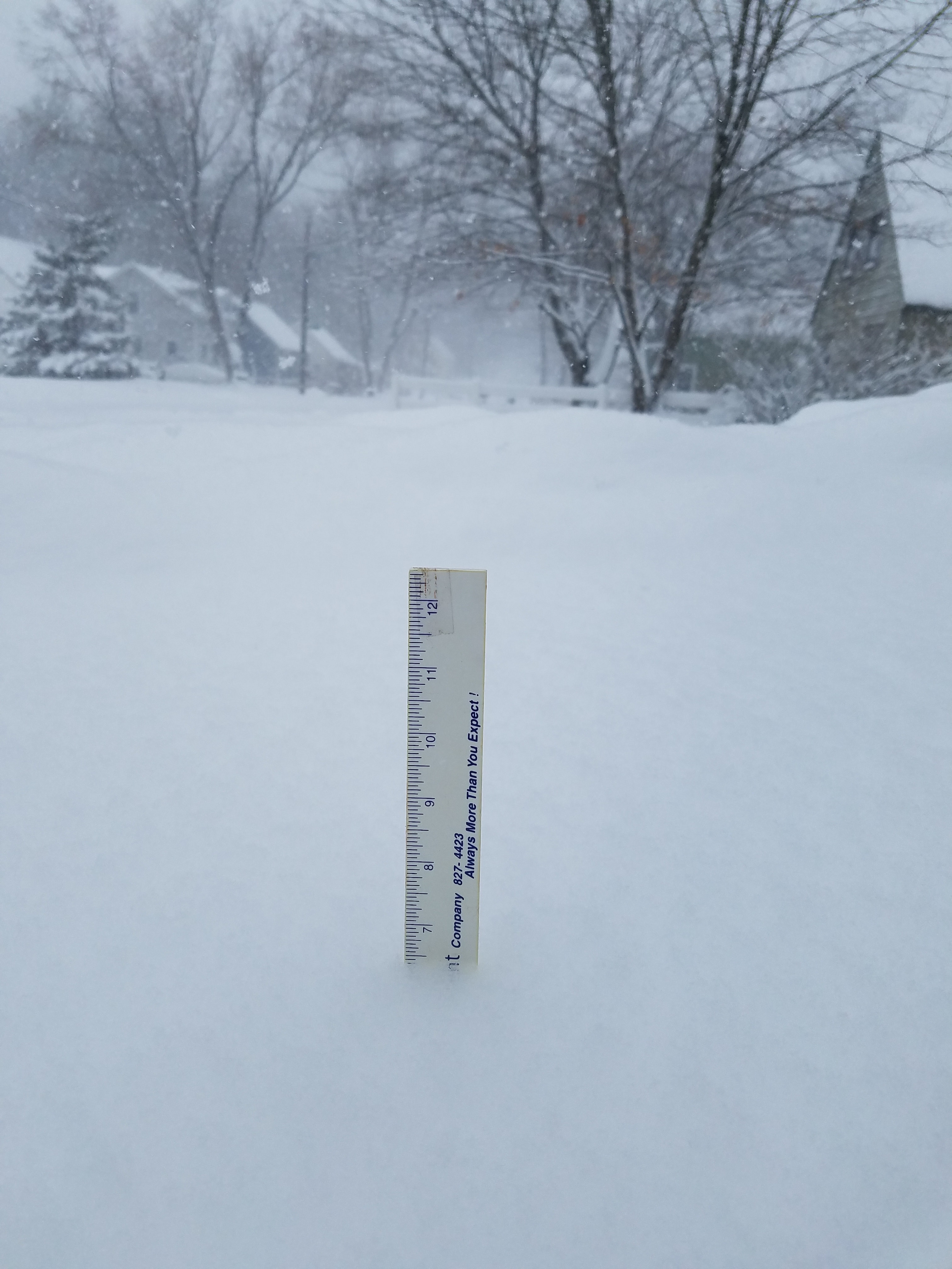
Ashburnham pic
-
7
-
-
Flipped to light snow in Manchester, NH.
-
1
-
-
59 minutes ago, HoarfrostHubb said:
Rte 2?
Close to it! At my brother's house on Waterford street.
-
Catpaws in Gardner, Ma
-
1
-
-
Sleet and a few mangled flakes on the way home from Lunenburg. All snow once I got to Manchester. Slushy accumulations on cars/grass at the Hooksett/Manchester line.
-
All snow in Ashburnham, accumulating on everything but the roads, when I left my parents house around 9. It changed to rain around Ashby Townsend. Currently a slushy rain in MHT.
-
2 hours ago, CoastalWx said:
Records for tornadoes are tough since everything these days is caught on camera or reported. You can say most since so and so year or most ever, but can get an asterisk too.
An uptick in violent tornadoes would be more alarming. Technological advancements, like dual pol, coupled with talented meteorologists are helping capture more of these events as well. Which is really exciting to see from a public safety/emergency response standpoint.
-
1
-
-
NWS Box confirmed an EF0/70mph tornado in Mansfield. Up to 8 for the year in Connecticut.
-
These storms are producing a ton of lightning. Grabbed this on my way home from work in Portsmouth. NH 101 west
-
1
-
-
14 minutes ago, OceanStWx said:
First good downburst candidate near MHT.
Core 65 dbz to 25 kft, and 50 dbz over 30 kft.
That looked just to my north on radar, I'll take a drive and look for any trees down.
-
It's absolutely the Katie-Wynnewood tor from 2016. It looked too good to be true, reverse image search is your friend. Lesson learned.
-
Totally should have reverse image searched that picture
-
 1
1
-
-
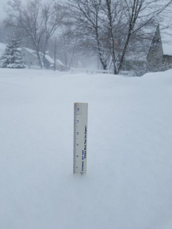
Approaching 6.5" here
-
-
2 minutes ago, SR Airglow said:
Looks like the ocean band is dying. Congrats IJD-ORH-MHT on this storm it looks like.
MHT is playing catch up, only about 4" down but easily snowing 2"+ an hour
-
Really ramping up here now. Snow growth improved, now the intensity is starting to pick up. Looks like 2" an hour stuff.
-
Just now, HIPPYVALLEY said:
Yeah, it must be some phenomenon with the radar, precip rates in the mid level and topography because you would think that the entire I-91 corridor had an insane band parked over it but nobody I know up and down the valley is seeing SN+.
Might be wrong but I think Wiz mentioned the column never fully saturated on models? Maybe some sublimation going on, under the radar, in any dry layers.
-
1.5" new. Absolute flizzard, horrible snow growth. The new band looks promising.
-
Looks like the ORH band just got exhausted by the strengthening band over PVD
-
1/2sm Sn at MHT despite weak radar returns. I'm hoping that band pushes far enough inland to make it exciting for a few hours. All surfaces covered but it's having a hard time accumulating on the roads. 1" or so
-
15 minutes ago, Damage In Tolland said:
CT or NH?
NH. Good luck DIT, hope you get the mid level magic

April 15 16 Obs Thread
in New England
Posted
Ashburnham this morning.