

Rjay
-
Posts
26,597 -
Joined
-
Last visited
Content Type
Profiles
Blogs
Forums
American Weather
Media Demo
Store
Gallery
Posts posted by Rjay
-
-
-
-
1 minute ago, kingbaus said:
Got some nice bands coming from the southwest
Damn we're snow-starved

-
 3
3
-
-
-
Just now, MJO812 said:

Of course you found the weenie one

-
 1
1
-
-
I hate snowmaps but this made me chuckle. One of these maps is weenier than the other.
.thumb.png.ce98f7cd8d30dce3ad034258ebea2044.png)

-
8 minutes ago, Picard said:
Extremely fine flakes falling now. You can't see them in the light, but I can feel them on my face. Dewpoint up to 13 from about 3 earlier.
See. It happens fast!
-
-
On 12/26/2023 at 5:22 PM, WxUSAF said:
No idea
Used to be an issue for me until one day it just stopped.
-
1
-
-
4 minutes ago, Picard said:
Admit I am a little worried about this. It's a desert up here.
Here's an example.
Gif is from 7pm to 1am

-
 1
1
-
-
2 minutes ago, Picard said:
Admit I am a little worried about this. It's a desert up here.
Between 9pm-12am you should see a significant jump in DP
-
7 minutes ago, BxEngine said:
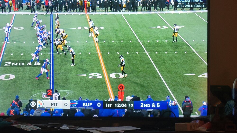
At least theyre scoring some points. Who the hell wants to watch 2 teams run 3 feet and fall down. Fuk outta here.
Yea this game is really entertaining....
-
1
-
-
16 minutes ago, Allsnow said:
People downplaying this event are the same who played up the rain/wind event a few days ago
I loved my nighttime squall line
-
1
-
-
12 minutes ago, Picard said:
That is really going to struggle to get any further north than it is right now, at least for many more hours. These near zero dewpoints are going to be hard to overcome. I'm a little skeptical of 4-6".
4-6" looks like a good bet in Sparta
-
2
-
-
Instead of a snow game we get this
-
 1
1
-
 1
1
-
-
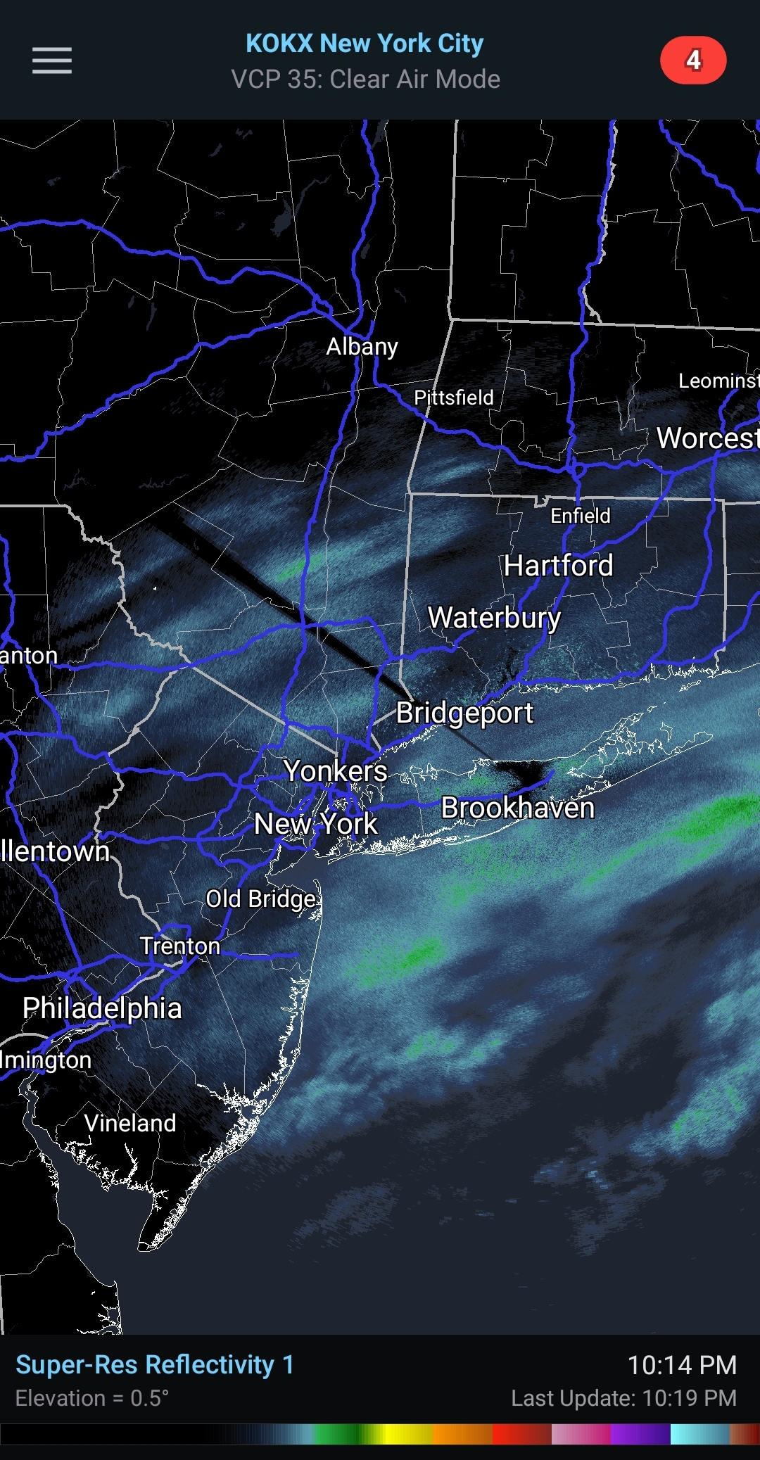
9 minutes ago, NorthShoreWx said:
That's what I remember. here's a sat pic:

A ship got a pressure of 948mb
-
1
-
-
10 minutes ago, SnowGoose69 said:
It was 3am-7pm or so....I think in Nassau we only saw snow from like 2-6pm briefly
-
3
-
-
Just now, SnowGoose69 said:
That was a massive bust, forecast I believe was zippo for all of the area and it began snowing on the twin forks at like 3am and they went right to warnings
I remember the snow backed in from the ocean. I can't remember what time that happened though.
-
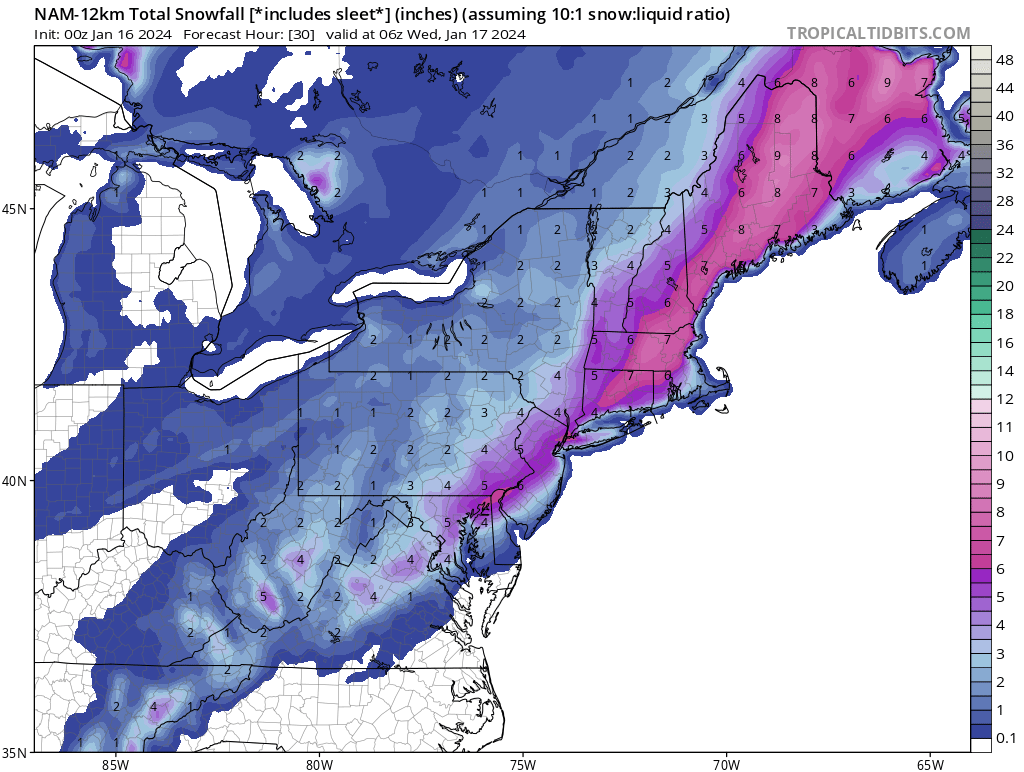
18 minutes ago, psv88 said:
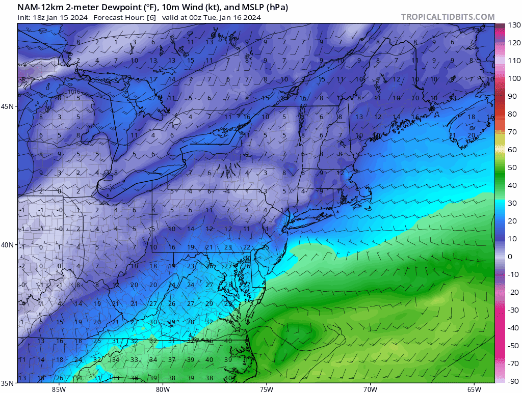
Interesting. Upton sees Suffolk all the way to Nassau border going to plain rain for 7 hours. Not sure any model has that. It also increased some amounts to 3.5 or so for western Suffolk. Will be interesting to see. I doubt we hit the forecast high of 38. Temp busted low today as well
Here you go
Southern New Haven-Southern Middlesex-Southern New London-
Northwest Suffolk-Northeast Suffolk-Southwest Suffolk-
Southeast Suffolk-
329 PM EST Mon Jan 15 2024

...WINTER WEATHER ADVISORY IN EFFECT FROM 7 PM THIS EVENING TO
10 AM EST TUESDAY...

* WHAT...Snow, then mixed precipitation expected. Total snow
  accumulations of 2 to 3 inches and ice accumulations of a light
  glaze.

* WHERE...Portions of southern Connecticut and southeast New
  York.

* WHEN...From 7 PM this evening to 10 AM EST Tuesday
-
2 minutes ago, coastalplainsnowman said:
Speaking of which, who remembers the one in late winter 98 or 99 which was expected to be so out to sea that it never made the news and was barely discussed in whatever the forum of the day was, but it backed up and bombed out and left Montauk with 14", I think 6" to William Floyd, dusting at the Nassau/Suffolk line, and partly cloudy in Manhattan.
Pretty sure I got a couple inches from that in Nassau. I think it was Feb 1999. Cape Cod got like 2 feet.
-
1
-
-
18 minutes ago, WestBabylonWeather said:
I’m close to the Nassau border so hopefully I do ok
Prob a couple inches changing to rain before sunrise
-
2
-
-
Just now, nycwinter said:
with no fans in the seats how is that football?
F the fans
-
1
-
-
17 minutes ago, Stormlover74 said:
Yup I was just saying this to bx. Bs.
-
2
-
-
6 minutes ago, BxEngine said:
Snow showers?
3-5" per hour in that band
.png.8a770ceb3188ac589fef7e59206a0d80.png)

.png.843c18714f0fcc408f2ed23c5bd68d5f.png)

Potential extensive winter event, I-95 west and with again a chance for NYC first inch(es) of snow Mon or more likely Tue Jan 16, 2024 (serves as OBS thread as well)
in New York City Metro
Posted
Up from 25 to 26 now with light snow. Looks nice outside but it's also a total snoozefest so far . All these KUs over the last 2 decades have really changed the game for me. I hate that so much.
I really do love this weather though.