Rjay
-
Posts
28,354 -
Joined
-
Last visited
Content Type
Profiles
Blogs
Forums
American Weather
Media Demo
Store
Gallery
Everything posted by Rjay
-
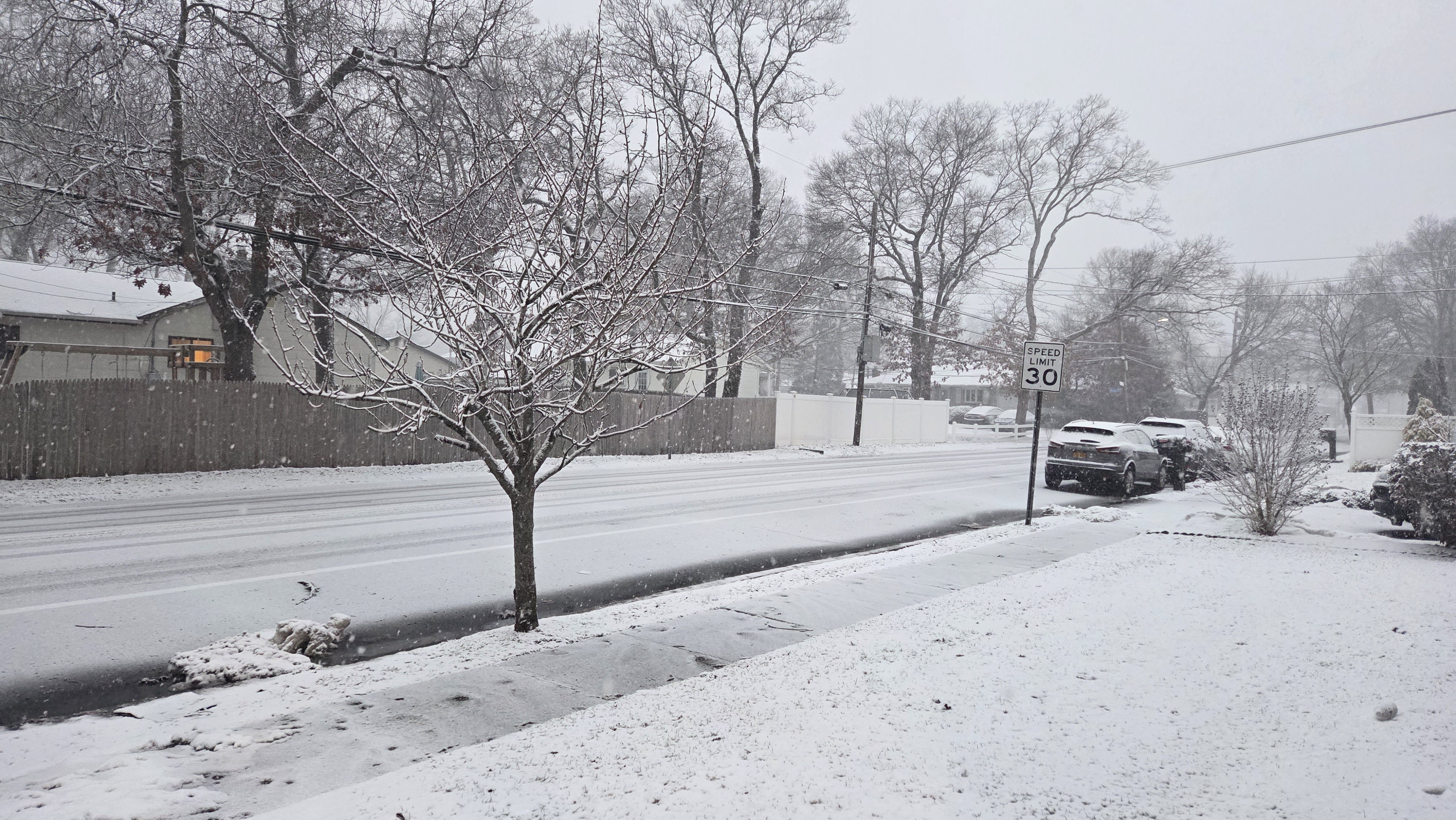
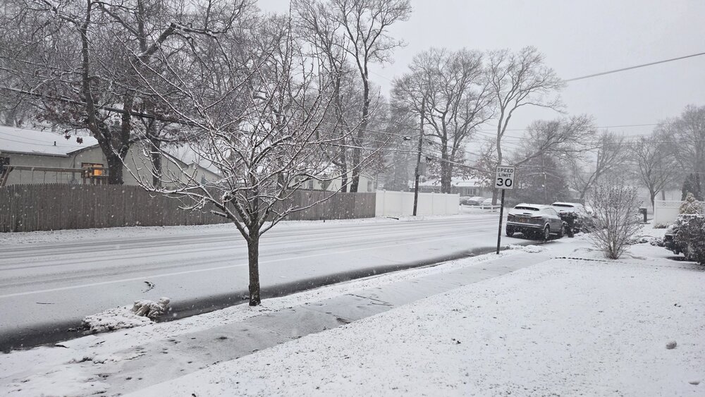
Holbrook
-
I should open 3 more threads. I remember when we used to have a pictures thread. I also remember when the old mods used to close the thread after 30-35 pages and start a new one.
-
Add something of value, thanks
-
Nope. Moving to one thread...again
-
This is not going to work
-
Lol
-
Please add your links from earlier in that thread.
-
Observation: forky is annoying
-
Sorry man. We were trying something new. But I gave up.
-
Plus the meat of the storm hasn't begun yet.
-
It's always a shit show no matter what. I'm kindly asking for it not to be this time.
-
Forky is going for our 4th attempt at an obs thread for this storm. Please post obs in there and analysis/models in here. Banter goes in the banter thread. Thank you.
-
Forky really wants one lol
-
If I let someone start an obs thread, can we handle posting in the correct threads?
-
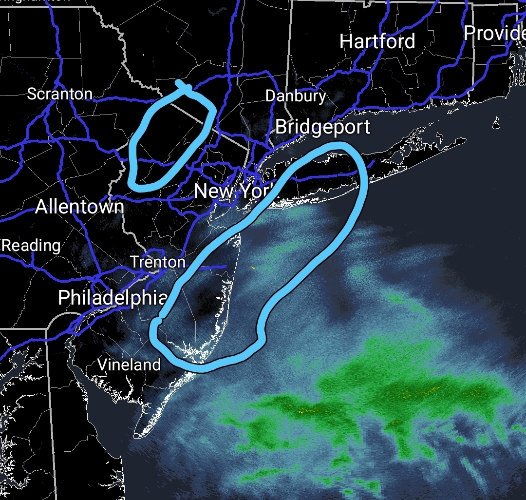
I made this earlier for a friend in nw NJ. These are the 2 jackpot zones imo. I think the northern zone actually extends further northeast than that though.

-
There's going to be a big band somewhere just north of you into Sussex County imo
-
During the initial covid surge our healthcare system was completely overwhelmed and officials did their best to stop the spread and to make sure the system didnt completely collaspe. It was an unprecedented situation for modern times. You had most hopsitals that were full, excessive amounts of death and healthcare workers extremely ill and/or overworked. I witnessed this first hand. It was a nightmare.
-
Have at it
-
The gfs has done this right before every big event I can remember except maybe boxing day.
-
JM's point is this discussion should be happening in banter and I agree. I will move all the posts.
-
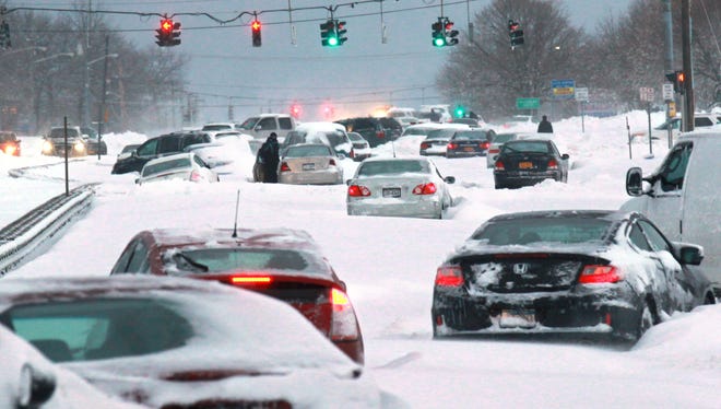
This is what happened in Suffolk in 2013 when there was no travel ban.
-
A lot of these posts were hidden before I read them but seriously guys, get a grip.
-
For all of you freaking out about a travel ban for NYC. Nassau County announced one last night. This is bipartisan and it's about public safety and having the roads clear for the trucks to take care of the snow so we can get back to business as usual as quickly as possible. Some of you are completely unhinged.
-
Models shifting east the day of a big storm is an American pastime
-