

danstorm
-
Posts
2,354 -
Joined
-
Last visited
Content Type
Profiles
Blogs
Forums
American Weather
Media Demo
Store
Gallery
Posts posted by danstorm
-
-
3 minutes ago, mreaves said:
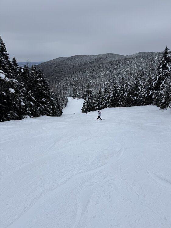
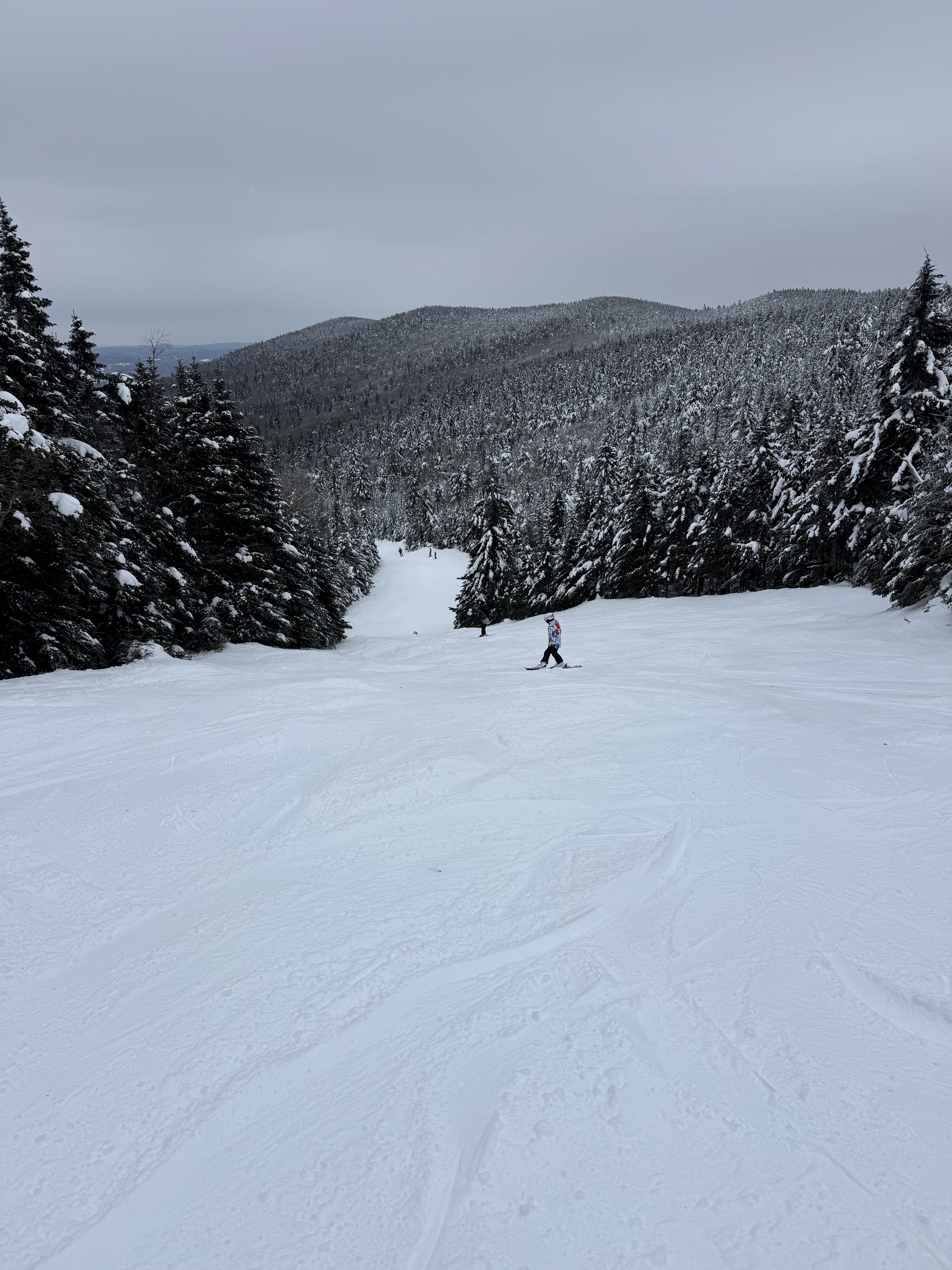
Not the ski area but this was Stowe last Friday.
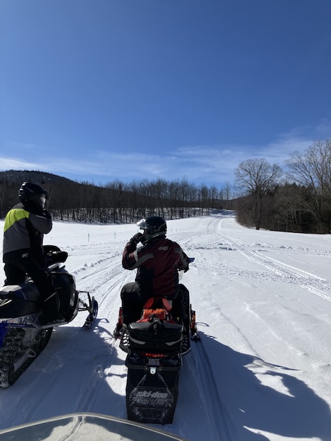
So sick... I've been jealous all winter, despite spending two long weekends in Southern Vt. this winter
-
1 minute ago, NW_of_GYX said:
great run, cold lurking, have to think some of these get underneath NNE
I'm trying to convince the family for one last trip up to Stowe...
And want to play hookey and get one final big ski day for myself
-
 1
1
-
-
12z GFS extends ski season in a big way
-
1
-
-
Winds really kicking up the last hour here... with mod snow falling - this is the most exciting part of this multifaceted event. Great snow growth and likely 2.5-3" since the flip a few hours ago.
We had 16 hours of light snow adding up to 4" then an inch and a half of sleet of varying intensity (mixed with some zr) over 12 hours adding up to 1.5, then a dramatic flip to S/S+.
New England at its finest
-
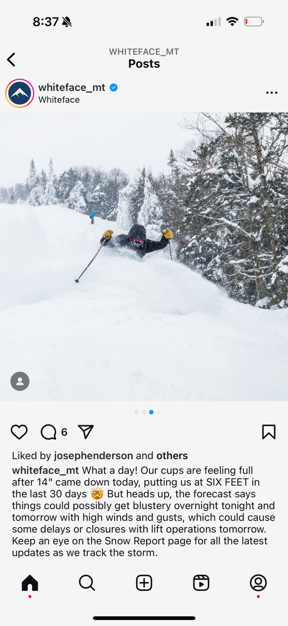
21 minutes ago, qg_omega said:
What a stretch with no real big synoptic storms but just non stop snow. Even whiteface has cashed in

I'd call this a pretty big synoptic storm
-
Turning to snow now as 850 low clears our longitude
Fgen enhancing a bit
We may get 2-3" on the back end after a messy 5-6
-
5 minutes ago, powderfreak said:
In town…

So sick
-
4
-
-
Most sleet I've seen since VD 2007 while living in Boston
Literally 12 hours straight in S VT (Wilmington)
Shut out of skiing for faux icing threat - closed all the summit lifts at Mt Snow while we got slotted this morning and had freezing drizzle
Yesterday was awesome though up here
-
Looks to wrap with a few hours of decent snow as the 850 mb low clears out longitude and a spoke of fgen swings through.

-
1
-
-
5" snow/sleet here in S VT (Wilmington)
We got about 4 overnight, then mod sleet then it largely shut off for a while.
Unfortunately, the dry slot resulted in a bit of FZDZ mixing with the light sleet (and needles, it really was a kitchen sink situation) around 930-11 am - we arrived at the slopes around 10 just as they closed all express lifts because of ice
So we turned around and left (the line for the non-bunny lift was easily 90 min). The Moover bus took about 40 min to get us back and around 1230, I heard they re-opened several good lifts.
Worst part is there was very little icing at all.
May try to get a few runs tomorrow but it will be 7 degrees with high wind. Frustrating!
-
1
-
-
Wow, after putting down 6-8" of snow, RGEM drops 0.5-0.75" of QPF as sleet for portions of CNE. That is a high impact event!
-
Well, it seems like the slopes did not get completely hammered yesterday. Looks fast, smooth, and not too slick on the Mt. Snow cams.
Tomorrow looks to be a pretty good day, if crowded.
Storm now looks like 5-7" of snow then a lot of sleet ending as FZDZ/FZRA. Hopefully lift operations are not disrupted, conditions should be great.
Monday will be absolutely frigid, we'll see if we make it out at all!
-
7 minutes ago, ORH_wxman said:
Positive snow depth change I’ve found to be almost universally too conservative if you’re forecasting actual snowfall but it’s semi-useful to use as a floor scenario.
Well said and agree
-
1
-
-
9 minutes ago, ORH_wxman said:
18z euro healthy front end. 4” S CT to 6” in pike/Rt 2 region.
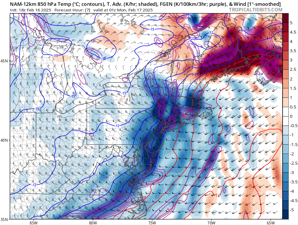
Will, mind posting a map?
-
22 minutes ago, mreaves said:
BTV has an early map out for the next event.
Looks reasonable
-
Reggie warmer, primary gets further north
-
Icon is a huge dump for the Greens

-
5 minutes ago, Not me in VT said:
Couple of medical calls up at the mountain already, not looking good up here, currently 34 and rain at the base. Power situation on Sunday it looks doubtful.
You think more FZRA than IP Sunday?
And assume it's all going to freeze up for Saturday?
Wonderful.
-
8 minutes ago, sankaty said:
I'm sure we haven't seen the final shape of this storm yet. Don't know if it will get better or worse, but I think there's still a decent chance that Sunday will be soft even at Mt Snow. I don't find sleet particularly unpleasant to ski in.
How winds affect lifts is so unpredictable. I've skied undisrupted so many days when folks here guaranteed the lifts would be closed due to wind.
It does look like the Euro now shows a marginally better solution compared to the GFS.
I can't tell you how many times I've gone through this evolution of thought tracking a storm over the years:
Model runs 1-10: Model A is shows a much better outcome than model B. Hope model A verifies.
Model runs 10-20: Still pulling for model A! I can remember many times when the models have switched places and I end up rooting for the other model, but these solutions are so vastly different, that's surely not possible this time around.
Model run 21: Really hope model B is right about this
Thanks for the perspective
Just about every model shows a 10-15"+ storm for the Southern Greens which in a vacuum would be awesome... hate having to sweat these details. I only get a few weekend trips a year up there (trying to convince the wife for more, but she's lost the love for skiing). I'd also love to ski midweek but that's not easy to do (we pulled the kids out of school the Friday of MLK and had a blast)... the crowds are just insane on these holiday weekends.
-
Going into this weekend, I was hoping for several things (I'm skiing at Mt. Snow Sat-Mon)
- Continuation of no rain to maintain pristine base (FAIL)
- If things did get icy (which they will on Friday), snow starting early enough Saturday to soften things up (looking like a FAIL)
- An all or mostly snow event (FAIL)
- Not having to ski through sleet on Sunday (probable FAIL)
- No wind holds Monday (FAIL)
If you told me I'd be up there to experience a 9-15" event, you'd think I'd be ecstatic but I'm pretty bummed about how things look to develop. Hoping we get a few more cold tics and perhaps an earlier start Saturday.
-
1
-
 1
1
-
-
Crap, it seems my worst fears are materializing for the weekend, specifically Sat-Mon when I'll be skiing Mt. Snow.
After today's FZRA and a cold Friday, expect frozen granular (or could it stay soft-ish?) for Saturday.
Also, Saturday's snow looks to break out too late to help conditions.
Sunday looks like a sleetfest which is quite unpleasant to ski in. Maybe there's some time to get this colder?
Monday looks frigid and quite windy so I'd expect wind holds.
-
Just now, CoastalWx said:
ICON seems a little south of 6z.
Maybe if you squint?
-
6 hours ago, sankaty said:
18Z GFS now keeps the Killington area mostly or all snow for the weekend, so ¯\_(ツ)_/¯
Yep, 0Z even better
Can we get all snow down to Mt Snow? GFS and CMC print 12+ throughout the Greens
-
1
-
-
Icon maybe a smidge colder
-
1
-

March DISCO/OBS: Please End It
in New England
Posted
I'll be pushing 80 down here 10 miles WNW of Manhattan, meanwhile Stowe gets 6-8"+
Can't recall ever seeing that