ice1972
-
Posts
24,561 -
Joined
-
Last visited
Content Type
Profiles
Blogs
Forums
American Weather
Media Demo
Store
Gallery
Everything posted by ice1972
-

The August 21, 2017 Great American Eclipse
ice1972 replied to ice1972's topic in Weather Forecasting and Discussion
And is the oval the shadow at 96 hrs there? That's literally my primary target in NE as of now.....not sure I can get further west than central NE.....Missouri looks like **** there.... -
The August 21, 2017 Great American Eclipse
ice1972 replied to ice1972's topic in Weather Forecasting and Discussion
You mean the eclipse being overhyped? Lol.....so many people live in a box.....and so few know nothing about astronomy..... -
The August 21, 2017 Great American Eclipse
ice1972 replied to ice1972's topic in Weather Forecasting and Discussion
Not really feeling the AD out of KEAX for my central Missouri target.....still a ways to go.....nothing decided yet..... 000 FXUS63 KEAX 172304 AFDEAX AREA FORECAST DISCUSSION National Weather Service Kansas City/Pleasant Hill MO 604 PM CDT Thu Aug 17 2017 .Discussion... Issued at 248 PM CDT THU AUG 17 2017 A beautiful afternoon across the Lwr Missouri Vly as high pressure remains in control for the time being. Afternoon temps have warmed into the lower 80s across most areas, with noticeably less humidity thanks to drier air following last night`s frontal passage. Similar conditions should persist through the overnight hours with lows fall into into the lower 60s for most. Next wave of energy seen on water vapor imagery this afternoon digging across the Northern Rockies. With time, this feature will continue tracking to the east-southeast through the overnight hours with model projections suggesting main surface reflection will pass to our north through the afternoon hours on Friday. This will ultimately result in a weak boundary lifting north across the area with scattered shwr/storm chances Friday morning, with additional activity possible during the afternoon hours as associated cold front passes later in the day. For now, best severe potential looks to hold off until after 21z as wind fields aloft should be increasing during this timeframe as main trough axis passes just to our north. Given this scenario and the expected instability, the current SPC day 2 marginal risk may get elevated with future outlooks. Beyond this, drier weather looks to return for much of the day on Saturday with another round of nocturnal convection possible early Sunday morning as the stage becomes set for an active mid range forecast period as zonal flow returns to the central U.S. Under this flow pattern, several midlevel shortwaves look to impact the region towards the early to middle portions of next week. Obviously this is going to lead to potential impacts for Monday`s total solar eclipse and additional details are provided below. Regardless, chance pops appear reasonable through much of next week as forecast guidance continues to suggest a stalled frontal boundary interacting with the above referenced midlevel disturbances. -
The August 21, 2017 Great American Eclipse
ice1972 replied to ice1972's topic in Weather Forecasting and Discussion
KGID for my target area...central Nebraska....not bad....need some clearing trends though..... .ECLIPSE... A total solar eclipse will occur Monday, Aug. 21st around 1 PM CDT. Before getting into this, want to make sure anyone reading this acknowledges a "reality check" that this event is still 4 days away and we are not overly-confident on the finer details. With each passing day this confidence will increase, especially over the weekend as Monday comes into the time range of various shorter-term, higher resolution computer models. That being said... Precipitation/thunderstorm chances: As it currently stands, a consensus of two of our primary longer range models (ECMWF/GFS) suggest that the majority of our coverage area (CWA) should be dry during the daytime hours, likely in a "break" between somewhat better chances for showers/thunderstorms both Sunday night and Monday night. This is obviously good news for most folks, but it`s also probably a bit too soon to declare it "guaranteed dry". Sky cover/clouds: Despite the overall lack of rain chances, this type of west- southwest flow aloft pattern, along with the presence of both a departing and incoming mid level disturbance that are relatively close in time and space, will likely make a "highly confident" cloud forecast rather dicey for a few more days yet. As best we can tell for now, "partly cloudy" is the most likely scenario for most of our area, as we surely cannot make a declaration yet of "pristine sun" or, conversely "plentiful clouds". If anything though, any clouds appear to be mainly of the higher/thinner variety, which is better news than lower overcast stratus. Stay tuned... Temps/winds: In other departments, it still looks to be seasonably warm day with afternoon highs mainly upper 80s Nebraska and low-mid 90s KS. It does look to be a touch breezy from the south, with sustained speeds at least 10-15 MPH and some gust potential to 20+ MPH. -
The August 21, 2017 Great American Eclipse
ice1972 replied to ice1972's topic in Weather Forecasting and Discussion
Just reserved a spot in Ravenna, NE.....at the Ravenna Golf Club......$11.....gets me entry onto the property and can pick anywhere on the course to watch.....its a tremendous spot....wide open.....its 2:45 drive from Omaha and north of I-80 so I can get there using back roads without crossing the interstate..... https://goo.gl/maps/PizjpP9HsAJ2 -
The August 21, 2017 Great American Eclipse
ice1972 replied to ice1972's topic in Weather Forecasting and Discussion
I mean IDK why anybody would just park themselves at the edge of the totality window.......you gotta get yourself as close to center line as possible.... -
The August 21, 2017 Great American Eclipse
ice1972 replied to ice1972's topic in Weather Forecasting and Discussion
Imagine not knowing one was coming and then on that day you're out working in the yard and it just goes dark.......that would be tremendous -
The August 21, 2017 Great American Eclipse
ice1972 replied to ice1972's topic in Weather Forecasting and Discussion
LOL......ya I got the feeling from this guy at work he didn't understand the basic mechanics of a total solar eclipse..... -
The August 21, 2017 Great American Eclipse
ice1972 replied to ice1972's topic in Weather Forecasting and Discussion
Ryan is going to Charleston.....but ya....I haven't seen posts from anyone in NE other than you...... -
The August 21, 2017 Great American Eclipse
ice1972 replied to ice1972's topic in Weather Forecasting and Discussion
Yep.....I can't wait.....its gonna be a little solo adventure for me to in the nations heartland.....never been to any of those states before other than the drive through or airports.....I was gonna go to Nashville initially - I have a friend that actually lives just south of there - but then I was worried about being in that TN to SC corridor where there are tons of people coming......and contending with traffic.....so I opted for the Wisconsin angle where I have another friend that offered up her couch on Monday night.....looks like the hotel I booked in Omaha is the way to go ATM......didn't see that coming.....still time to adjust -
The August 21, 2017 Great American Eclipse
ice1972 replied to ice1972's topic in Weather Forecasting and Discussion
I'm actually pretty surprised at how meh a lot of folks are.......I mean this is a weather board and lots of geeks here where this sort of stuff is on the radar more than the average schmo but seriously.......I'm getting a lot of "wait wut? you're flying to Wisconsin and have 3 hotels booked where? and you're gonna drive hours to one of them so you can then drive hours in the morning to see something thats how long? 2.5 minutes? lol"..........a lot of that -
The August 21, 2017 Great American Eclipse
ice1972 replied to ice1972's topic in Weather Forecasting and Discussion
Ya you definitely need to be in the total zone.....its crazy how unnoticeable 97% even 98% is and how just being outside the zone even a mile or two can make all the difference.....this guy at work was like "meh I'm not gonna waste my time I've seen one before and I wasn't impresssed"...........I asked him if he was in totality and he was like "IDK".....lol -
Oh man that is a great site.....thanks....
-
The August 21, 2017 Great American Eclipse
ice1972 replied to ice1972's topic in Weather Forecasting and Discussion
Here you go.....this was refreshing to watch.....total throwback.....I wasn't even born yet but despite it being 47 years ago everything that happened then and what folks experienced then is gonna all repeat itself on Monday.....watch all of the episodes..... -
Guys good high resolution visible satellite links? That can be zoomed up on? Need to see clouds in high detail.....provided there's an actual cell service lol and looped too
-
The August 21, 2017 Great American Eclipse
ice1972 replied to ice1972's topic in Weather Forecasting and Discussion
It's gotta be.....I read earlier some WFO's were trying to incorporate it into the forecasts.....pretty cool -
The August 21, 2017 Great American Eclipse
ice1972 replied to ice1972's topic in Weather Forecasting and Discussion
I may decide to opt for staying in Omaha and heading into zone in Nebraska also....Hastings was an option I looked at a couple weeks ago.....all up in the air right now -
The August 21, 2017 Great American Eclipse
ice1972 replied to ice1972's topic in Weather Forecasting and Discussion
Just booked hotels in Omaha and Louisville......so with the on in Quincy IL I've got some options for where to go Sunday when I fly in to Madison.....long drive but I get in early...all those spots are 6 to 7 hour drives.....and they put me within 2 to 3 hours of totality.....I can cancel free by Friday night 11:59.....lolz -
The August 21, 2017 Great American Eclipse
ice1972 replied to ice1972's topic in Weather Forecasting and Discussion
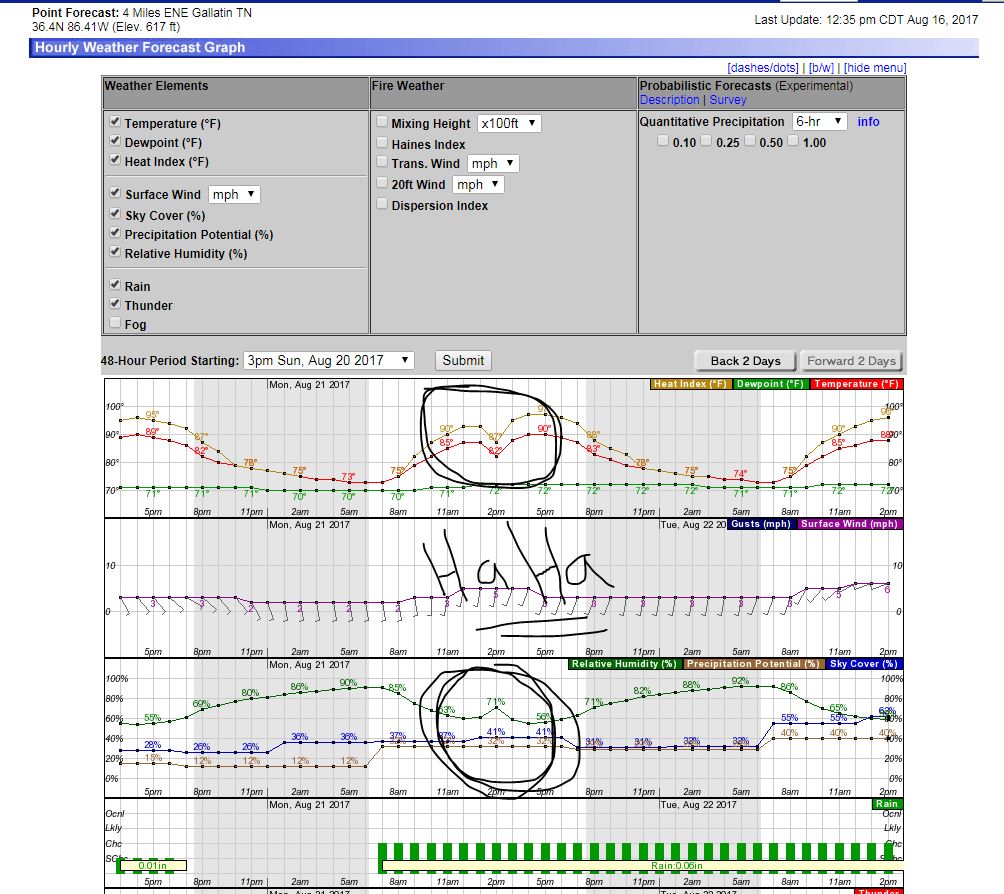
lolz....for Gallatin.....
-
The August 21, 2017 Great American Eclipse
ice1972 replied to ice1972's topic in Weather Forecasting and Discussion
True but I will begin looking at places that may be better within driving distance from Quincy, IL where I have a room booked......gotta say this is very stressful -
The August 21, 2017 Great American Eclipse
ice1972 replied to ice1972's topic in Weather Forecasting and Discussion
Not liking the forecast for Missouri.....Nebraska may be better? -
With zero knowledge on the subject I would think the visible passes of the country on Konday would easily show the shadow of the moon....that would be a great loop to archive
-
The August 21, 2017 Great American Eclipse
ice1972 replied to ice1972's topic in Weather Forecasting and Discussion
I hate not knowing where the clouds will be in this whole planning thing....makes you realize not everything can be planned....lol -
The August 21, 2017 Great American Eclipse
ice1972 replied to ice1972's topic in Weather Forecasting and Discussion
Does the moon count as sun shade? Lol.... -
The August 21, 2017 Great American Eclipse
ice1972 replied to ice1972's topic in Weather Forecasting and Discussion
Ya...avoiding the big interstates and not having to cross I-70 was sort of my priority.....if I do go to Fayette, MO its all back roads from Quincy, IL......Probably will leave early to make sure.....like 4 or 5 am