

Greensnow
-
Posts
132 -
Joined
-
Last visited
Content Type
Profiles
Blogs
Forums
American Weather
Media Demo
Store
Gallery
Posts posted by Greensnow
-
-
6 minutes ago, canderson said:
Jesus lord, the Euro.
Wow the Euro upped the ante here. 18 already in ClarksSummit/Clarks Green. Looks like great ratios for this storm!
-
BGM-

Well, that escalated quickly. Miller-B systems feature one low
weakening - in this case in the mid Ohio Valley - and
transferring energy to a new coastal low. They are notorious
for being very difficult to forecast, and indeed there still
remains quite a bit of spread in the models. However, most of
them have trended significantly stronger with coastal low
development while also keeping it closer to shore as it moves up
the coast.
-
 1
1
-
-
There are going to be some shocked people in NEPA if this keeps trending as is and does not take a SE jog during the next model suite.
BGM has not issued a Watch or Warning and every model shows me with 12"+. Maybe that is good luck!
-
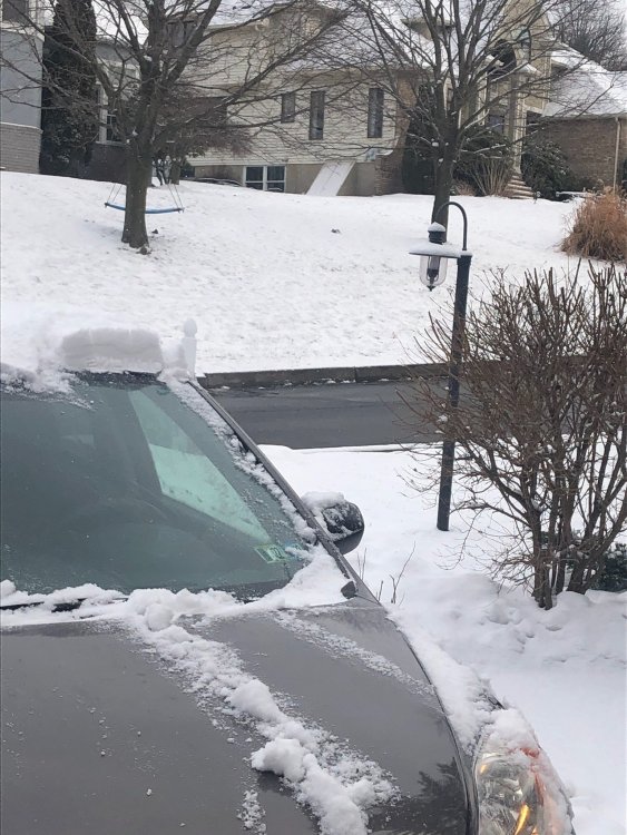
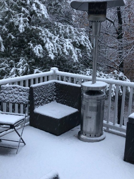
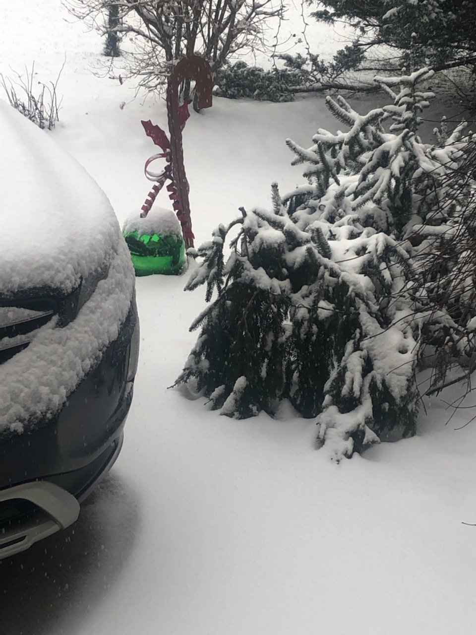
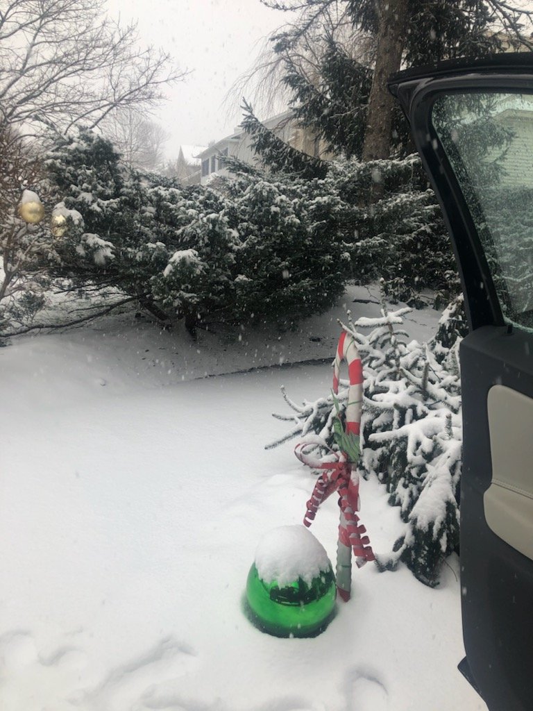
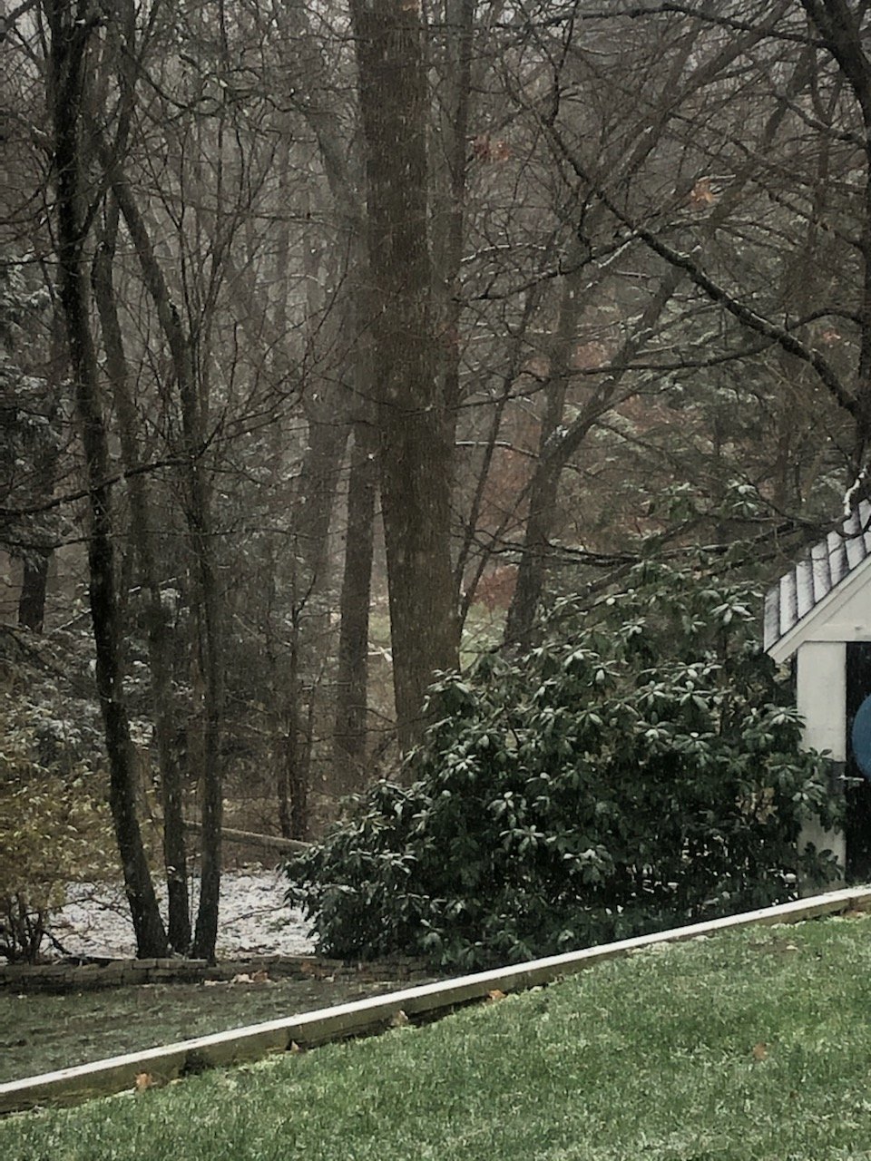
Some good bursts this morning. It has been much better up here than in the lower 2/3 of the state as we have had snow in the air and temps in the low 30s most of the last week. Nothing big with another inch this AM that will be gone by afternoon but it is what it is. Poetic justice would be that the Southern crew cashes in over the next few weeks and I sit in the 20s smoking cirrus!
Photo from this AM.
-
 1
1
-
-
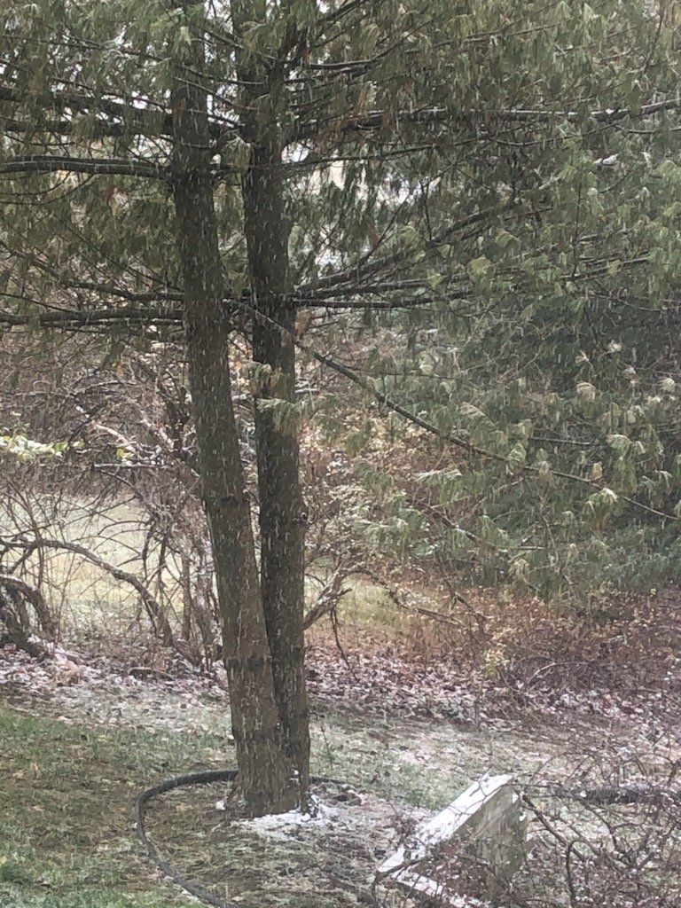
Snow! First real flakes since 1-3. That is a long time without snow in the air up here. Wasn't because it was liquid either just cloudy and dry for 10 days.


-
2
-
-
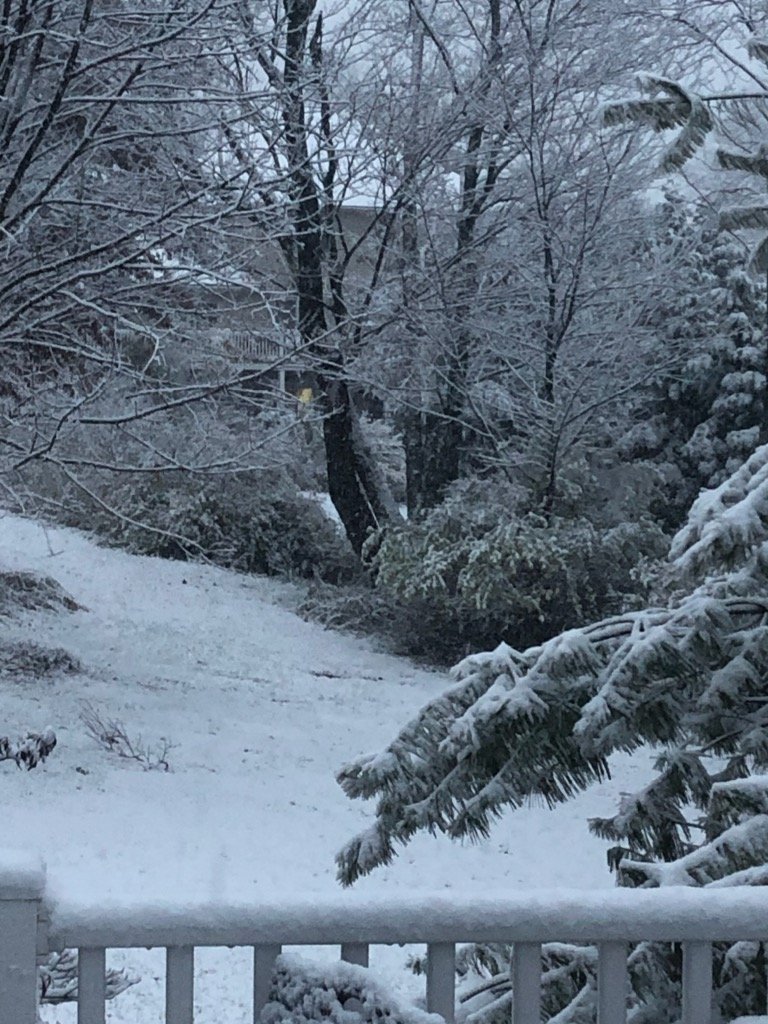
Nice event up here. We ended up with 6.5" heavy wet snow. Ton of fog this morning.
-
1
-
-
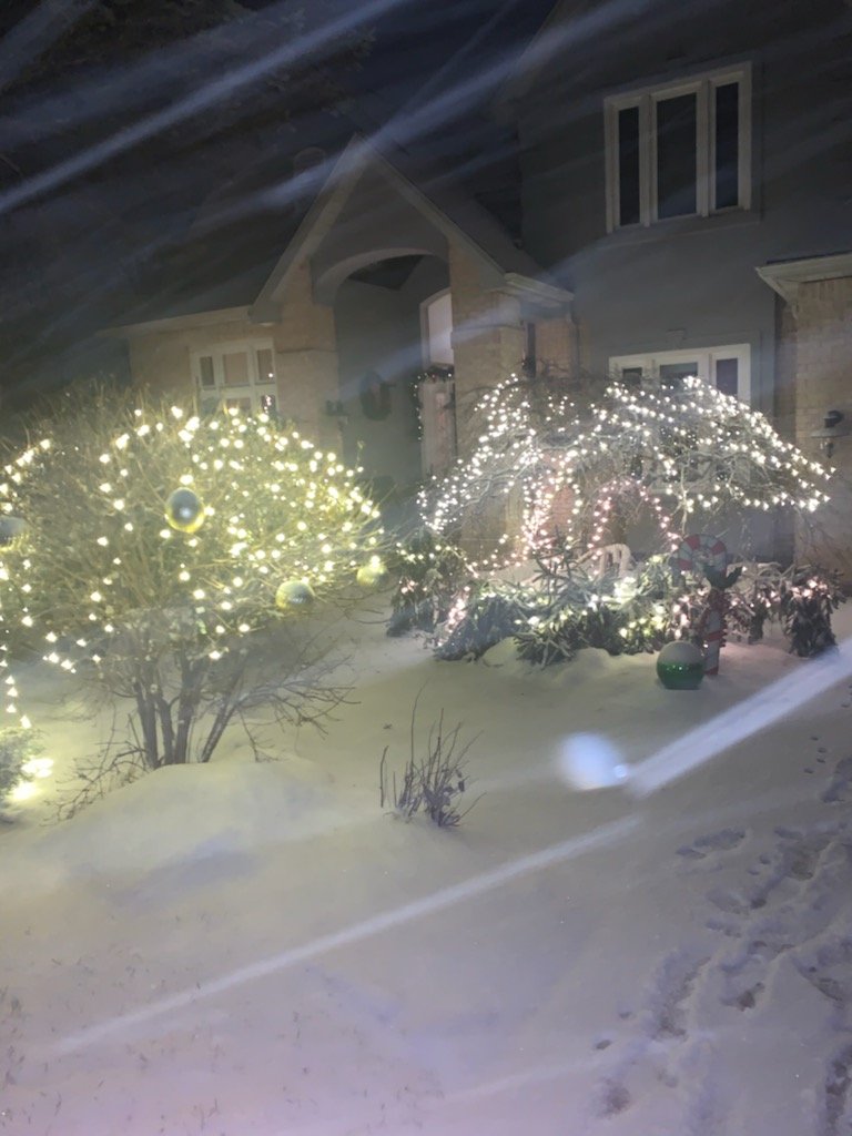
Christmas miracle up here in Clarks Green! Grinch wiped away the pack but heavy snow showers this evening put a quick inch on the ground. Still snowing moderately.
-
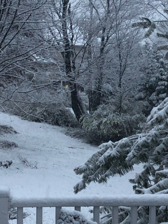
Snow on the hill-tops but downtown Scranton had nothing but flakes falling.
Looking like a crusher up here in NEPA on Wed/Thurs!

-
1
-
-
First "nice" surprise of 2020!

Over performing- likely will get 3" out of this which will at least add to the holiday mood.
-
4
-
-
Susquehanna-Northern Wayne-Wyoming-Lackawanna-Luzerne-Pike-
Southern Wayne-
1013 AM EST Wed Dec 9 2020

...Moderate snow is across the area causing slippery roads...

Moderate snow is across much of central New York and northeast
Pennsylvania. Snowfall rates are up to 1 inch an hour.
Visibilities at times have been reduced to below half a mile.
Light to moderate snow will slowly taper off through 1 PM from
west to east. Total snowfall amounts could be up to 2 or 3
inches. Roads have become snow covered and slippery even on some
highways. Slow down and allow extra time to reach your
destination.
-
Light snow and roads quickly covered up here. Now calling for 1-2" with snow showers through the day. Looking forward to upper 40s this weekend!

-
1
-
-
Steady snow showers up here in Clarks Green- 1/2" and 33 degrees.
-
1
-
-
Light snow showers currently with a dusting on the grass.


-
And so it begins up here in Clarks Summit
-
5
-
-
Tornado Watch up for Susquehanna, Pike, and Wayne Counties.
-
 1
1
-
-
Area Forecast Discussion
National Weather Service Binghamton NY
257 PM EDT Fri May 8 2020

.SYNOPSIS...
Any rain quickly changes to snow this evening with accumulating
snow in the higher elevations. Snow showers will continue into
the weekend. Gusty northwest winds and snow squalls are likely
Saturday. Sunday and Monday will be slightly warmer with rain
and a few snow showers. High pressure expected by the middle of
next week.

&&

.NEAR TERM /THROUGH SATURDAY NIGHT/...

Tricky forecast for this evening into tonight as an area of low
pressure at the surface tracks across Central PA this afternoon and
starts to strengthen near Long Island this evening. However,
this system doesn`t really get its act together and start to
rapidly intensify until it enters the Gulf of Maine early
Saturday morning. Nonetheless, although we thankfully will not
be looking at a huge amount of snowfall, any snow that
accumulates this time of year is significant. The best
frontogenical forcing will be across NE PA and into the
Catskills this evening. Dynamic cooling will quickly cause any
rain to change to snow and likely for higher elevations to just
be straight up snow through the event. There will be a narrow
window from about 6pm through 10 pm tonight where the higher
elevations of the Poconos and Catskills could see a quick 2 to 4
inches of snow.
-
Flying from Phoenix to Philly this evening and you are not kidding!
I wanted to thank the individuals in this forum. I have learned a lot and you keep me 5-7 days in front of my local weather guys! Kudos.
-
1
-
2
-
-
Winter Storm Warning is up for 9-15 inches which would be big for the time of year. Have had three snow "events" to date with all three less than 2".
It seems like prior to the past two years I spent most of my time from 2010-2017 smoking cirrus why you guys south of me have been getting crushed. Good end of winter in 2017 and decent snows in 2018. Hopefully we get widespread Miller B storms across the forum in 2019-fingers crossed!
-
1
-
-
I post starting in the winter to give some perspective of what is going on in NEPA. I am in Waverly at mile marker 197 on 81 and '1540 elevation. 22 degrees at 10:30PM.
-
Upgraded at 3PM to WSW for 6-9". Heavy snow up here right now!
-
Snow started here in Clarks Summit. Sitting at 26 with a DP of 17. We are under a WWA and surrounded by WSW!
We have a higher criteria up here then the LSV but BGM has been adamant that we are switching to sleet later this evening.


Upstate/Eastern New York
in Upstate New York/Pennsylvania
Posted
Spilt time between here and the PA forum as I am in Waverly north of Scranton. My backyard is closer temp and forecast to BGM then AVP. Agree that this is going NW. I learned a valuable lesson in December had a foot but was expecting 24” and BGM got 40”. All good but I thin the 88 corridor is going to get smoked. Seasonal trends. Hey- yesterday I was thinking 4”.