

friedmators
-
Posts
1,208 -
Joined
-
Last visited
Content Type
Profiles
Blogs
Forums
American Weather
Media Demo
Store
Gallery
Posts posted by friedmators
-
-
Just now, HVSnowLover said:
As I predicted it ends up noticeably south of NAM but yes wow this storm has potential to produce some huge totals for whoever gets the jackpot
less posting more reading buddy...your analysis is just wrong
-
-
-
Storm looks like it tries to go vertically stacked off NJ.
-
I have a stupid question. Where can I find full size individual member maps for the GFS and Euro ensembles? Weatherbell used to have the Euro members out to ten days but I can't find it anymore.
-
Heavy Heavy Snow a bit west of 287/78 intersection. Extremely windy.
-
H7 is closed on the HRRR pretty north of the Euro depiction. That won't bode well.
-
 1
1
-
-
Watching CNN and its snowing at the White House
-
1
-
 1
1
-
-
1 minute ago, jm1220 said:
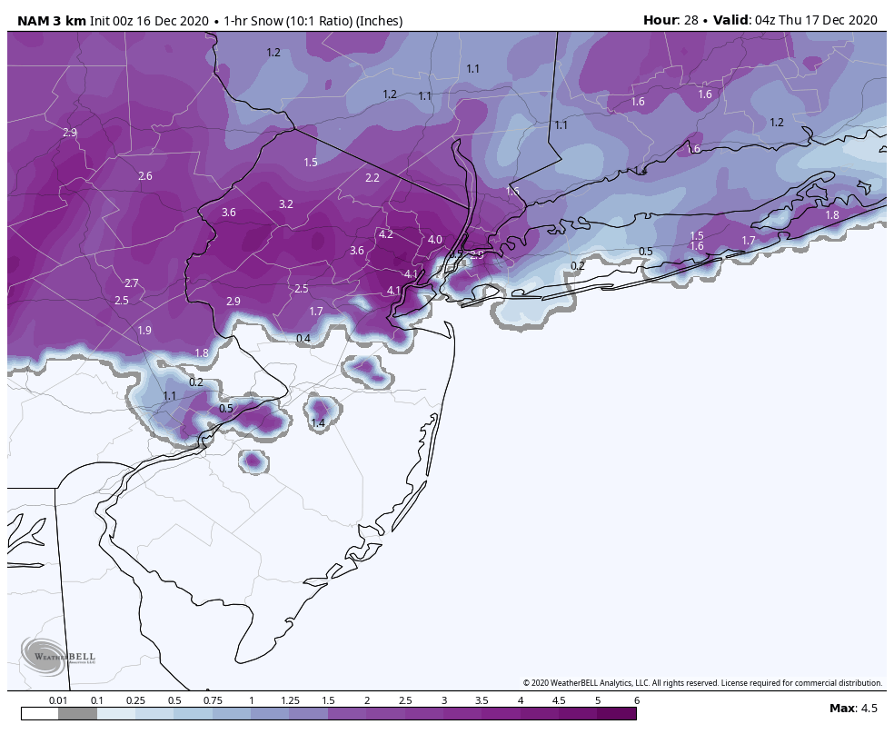
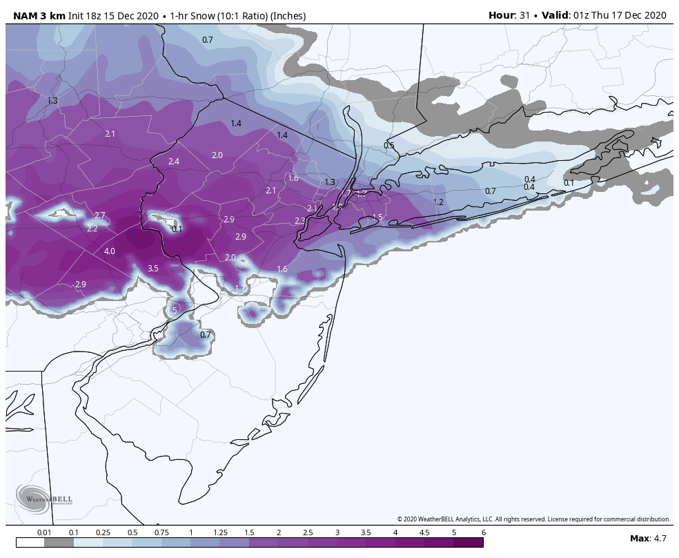
If that fronto band on the Nam is real, we’ll have huge snow rates under it, probably 3” per hour. It seems to last 2-3 hours under any location.
Yea it seems like we need the WAA to really give us the bulk of our snow. Not sure we can count on a re-moistening of the atmosphere post DS.
-
1
-
-
Slight improvement on the Euro but probably just noise this close.
-
Just now, nycsnow said:
Arw and NMM are wild but are they even reliable lol
NO
-
3
-
1
-
-
-
Taint or not this would be absolutely glorious before the switch. 2-4"/hour snow across the area.

-
2
-
-
Just now, MJO812 said:
All snow for NYC on Rgem
.thumb.png.ed5f8ae8eca65bfe146b202a07273d25.png)
.thumb.png.84d6867ce689db11299a5901e9f5ac00.png)
.thumb.png.64ae3a4a682d6aaa5bad78d570f62b2c.png)
Yea I deleted my comment. The shield lifted north a smidge, but what was once sleet is now snow for NJ which is nice.
-
Massive improvements on the RGEM.
-
1
-
-
Seems like they have a hard time placing the surface low too. As it gets up here, models seem to have the surface low from Baltimore to off Ocean City.
I’m wondering if that’s just because of the broad non deep nature of the low.
. -
You have to smell the rain if you want big totals
Gotta flirt with taint if you wanna JP
. -
5 minutes ago, SleetStormNJ said:
Toss........
Def toss. Rain to 195 and Taint to NY/NJ Border.
-
I would still love to see this. An hour or two of just ridiculous snowfall rates before the changeover.

-
2
-
-
5 minutes ago, SnowGoose69 said:
Both are technically a bit beyond their range. They won't be grossly wrong but they might have overcorrected 30 miles or so which would result in a massive change for some areas.
Yea i always have to remind people of this. A model ten days out shows major snow for I95 corridor. Storm ends up cutting over NJ and everyone rains. Shit 10 days in advance it was only off by 50-75 miles with the low track. Thats damn good.
-
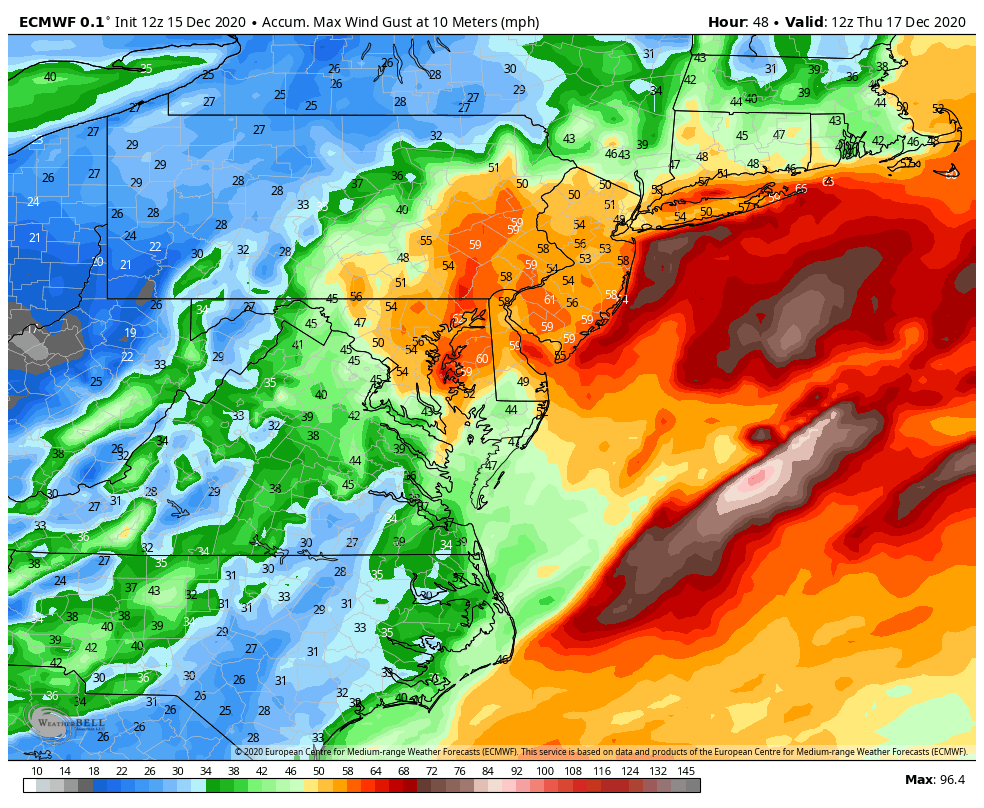
Windy that's for sure even if overdone a bit.

-
99/100 with the LP over SNJ I would think the ML would get flooded with warmth basically everywhere. The high is strong but is it that strong?
-
1
-
-
Euro looks identical to 6Z.
-
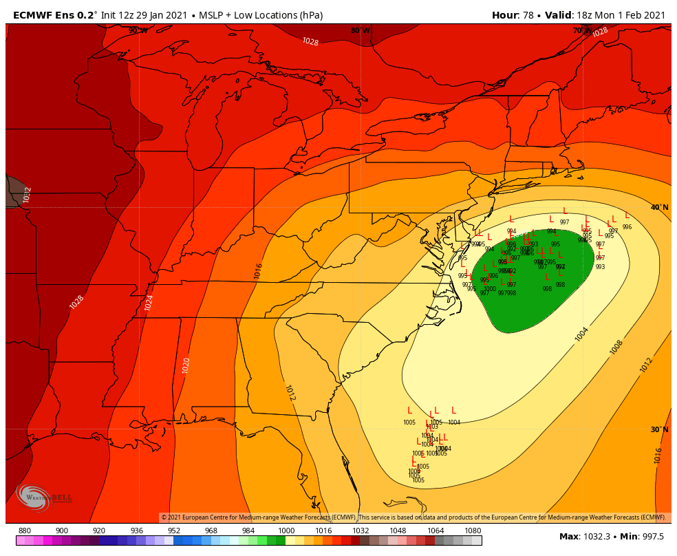
The OP GFS low position @ 42 is west of every ensemble member.
Similar with the Euro. Maybe 90% of the members are east of the OP.
-
1
-
.png.a7c5651dfce39b612a5b0551947a2289.png)
.png.78d3ece96ad8a7c4fcc9054c21802c47.png)
.png.aff25bed1efe331d68cca4f111e9721f.png)
Major Nor'easter near blizzard (6"+ most of our area-best chance 20-30" north of I78 in ne PA, nw NJ, se NYS)-ice-rain-power outage NYC subforum late Sunday Jan 31-early Tue Feb 2.
in New York City Metro
Posted
GFSv16 is a big hit for what its worth.