winter_warlock
-
Posts
3,383 -
Joined
-
Last visited
Content Type
Profiles
Blogs
Forums
American Weather
Media Demo
Store
Gallery
Everything posted by winter_warlock
-
Jan Medium/Long Range Disco: Winter is coming
winter_warlock replied to stormtracker's topic in Mid Atlantic
Wow nice improvement!!!! -
Jan Medium/Long Range Disco: Winter is coming
winter_warlock replied to stormtracker's topic in Mid Atlantic
Storm on GFS goes from too far east at 12 z to a lil too far west at 18z lol. But at 9 days out. Ill take it. Im sure the models will be all over the place for at least a few more days!! I dont think anyone wants to be in the bullseye 232 hours out lol -
Jan Medium/Long Range Disco: Winter is coming
winter_warlock replied to stormtracker's topic in Mid Atlantic
Which is the same rain your used to! -
Jan Medium/Long Range Disco: Winter is coming
winter_warlock replied to stormtracker's topic in Mid Atlantic
Looks great!! Long way to go still but the 10 days will go fast -
Jan Medium/Long Range Disco: Winter is coming
winter_warlock replied to stormtracker's topic in Mid Atlantic
We definitely need this one!!! Wish it wasnt 10 days out but im glad we have abother one to track ! -
Nothing but rain here all day. I saw bo freezing precip exceot for a few flakes at the very beginning temps in mid 30s all day
-
Lmaooo
-
Sterling LWX. Actually acknowledges the models with increased snow potential!! The evening model runs have shown an increase snow potential and snow amounts for parts of northern Maryland and western MD. A combination of a favorable thermal pattern along with increasing chances for near warning criteria snow has led to the expansion of the winter storm watches to include Carroll and Garrett Counties in Maryland.
-
Youd make a great motivational speaker ! Lmaooo
-
Yup lol
-
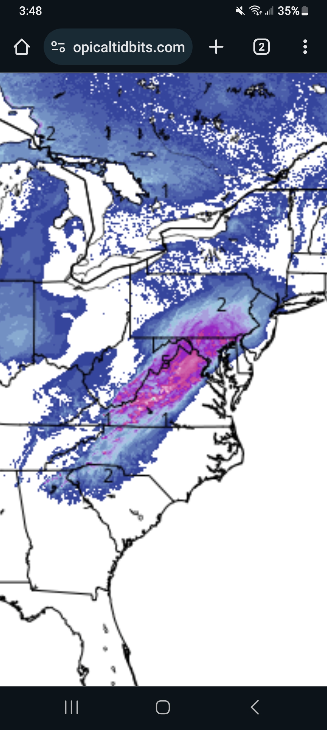
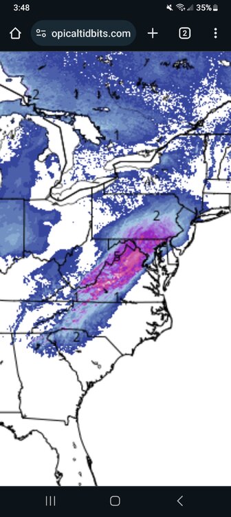
This was a nice suprise from the nam
-
Less precip but a noticeable shift east
-
I agree!! Just take what we can from this one and wait for next one in 10 days or so
-
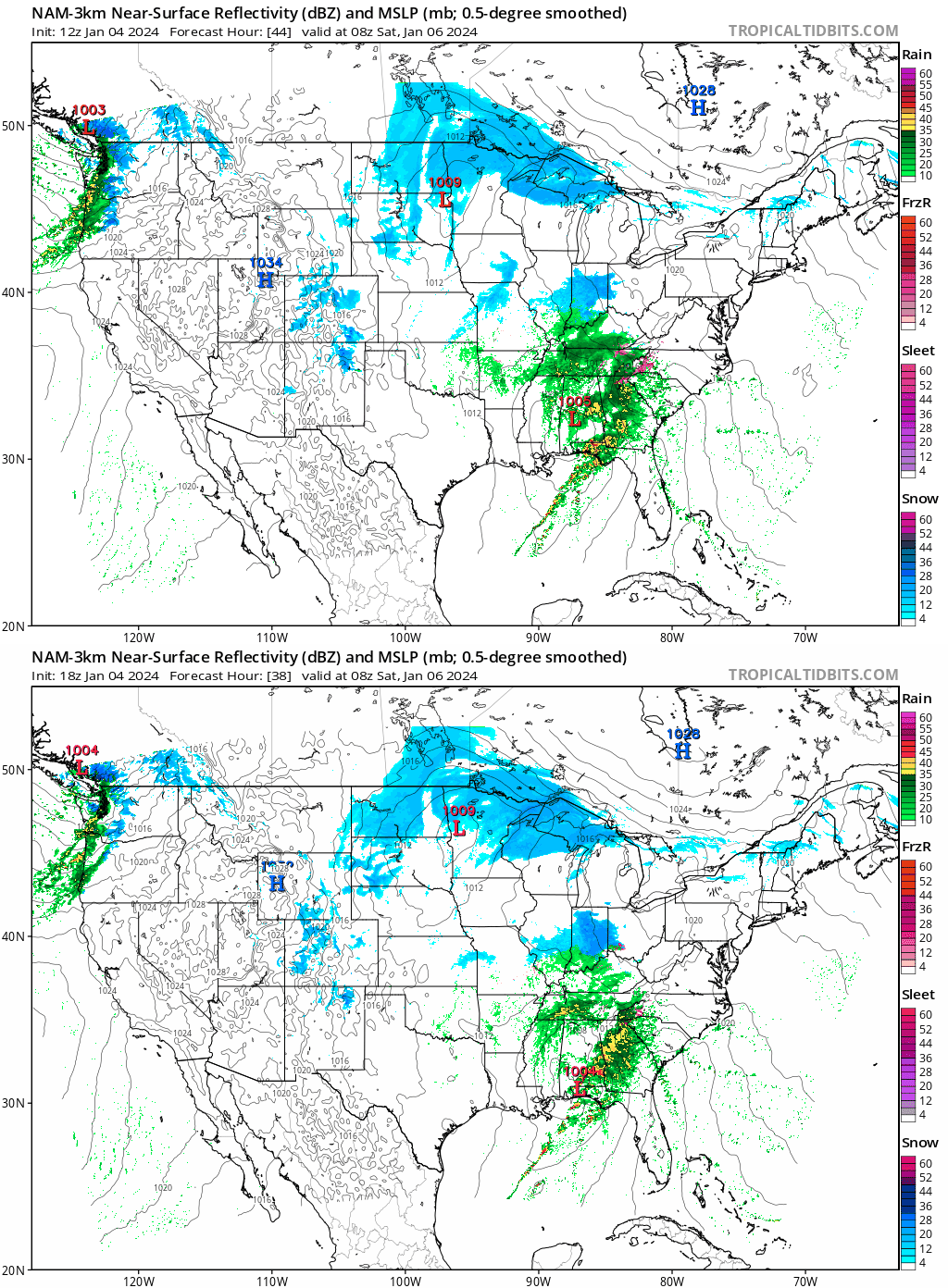
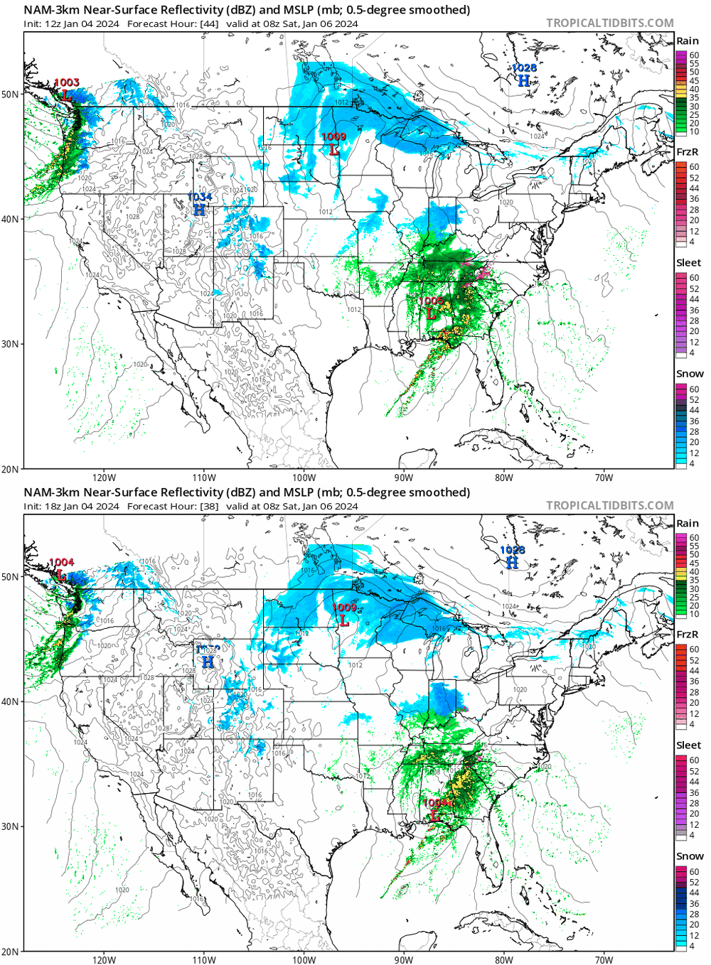
So far difference in nam from 12 z
-
Well that sucks lol
-
Gfs a lil colder, a touch more snow . Hope that trend continues!
-
Is it me or did nam come in a lil colder with a lil more front end snow this run compared to 6z?
-
I can live with that!
-
Yeah i saw that bro long range is looking good for us!!
-
Gfs to me looks like a 2 to 4 inch event before a chang over to rain for me in north central md.. not bad for a first event of season. Hopefully that's just the beginning of whats to come later
-
Not for i95
-
Where are u getting longer range rgem?
-
Sterling saying mostly rain for i95.. did they not see the 00z models? Lol
-
Yeah i agree, kinda weird that all the modeling had the same exact shift ..had to be new data!
-
Qpf profiles will be more accurate as we get closer to the event, same with snow maps