WeatherGeek2025
-
Posts
1,616 -
Joined
-
Last visited
Content Type
Profiles
Blogs
Forums
American Weather
Media Demo
Store
Gallery
Everything posted by WeatherGeek2025
-

Possible coastal storm centered on Feb 1 2026.
WeatherGeek2025 replied to Typhoon Tip's topic in New England
why do I have this feeling that the precipitation shield isn't wide enough to the northwest of the Low pressure. A system that deep usually has a way wider precipitation shield and that usually doesn't get modeled right until about 2-3 days away from the actual event! -
Possible coastal storm centered on Feb 1 2026.
WeatherGeek2025 replied to Typhoon Tip's topic in New England
something like this? -
edit: it's a decent hit
-
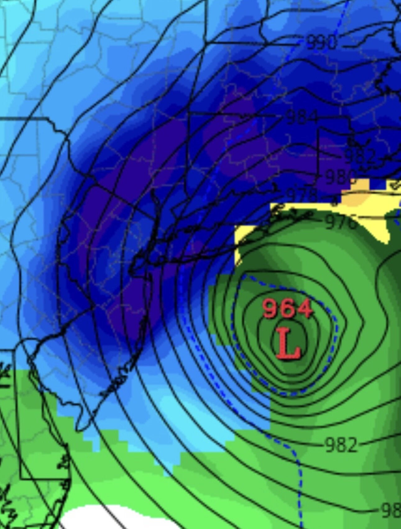
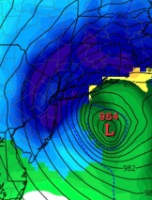
cmc will be out to sea
-
CMC looks good so far!
-
Possible coastal storm centered on Feb 1 2026.
WeatherGeek2025 replied to Typhoon Tip's topic in New England
whatever Euro AI shows today, I will go with that forecast! -
I feel like these always tend to favor New England but we do get some big hits here and there! Hopefully models start honing on some northwest trends in the next few hours!
-
-
i'm still going with my forecast whatever euro ai prints out today i said it yesterday and will keep my word. CFS is a horrible model just figured I'd share!
-
CFS
-
20 easy
-
we're about 100 hours until this storm actually gets even close to us all we need is 100 miles west jog and we get a SECS!
-
Hey Good morning, still far away and these have been trending north lately so we have that on our side. GEFS look great but who can really trust them. Euro AI is so close
-
Possible coastal storm centered on Feb 1 2026.
WeatherGeek2025 replied to Typhoon Tip's topic in New England
We all just need this -
Possible coastal storm centered on Feb 1 2026.
WeatherGeek2025 replied to Typhoon Tip's topic in New England
Superstorm Sandy had something like that but you're right i would go with Euro AI that was just no computer model basis it was just my educated guess. I will have a snowmap tomorrow and i'm solely going to base my snowmap off the Euro AI guidance! Have a good evening! -
Winter cancelled/uncancelled banter 25/26
WeatherGeek2025 replied to Rjay's topic in New York City Metro
enjoy and happy early birthday, hope you turn 100 -
Winter cancelled/uncancelled banter 25/26
WeatherGeek2025 replied to Rjay's topic in New York City Metro
it's been a great winter -
i think this will be the potential track of the storm. just an educated guess. one or the other
-
Possible coastal storm centered on Feb 1 2026.
WeatherGeek2025 replied to Typhoon Tip's topic in New England
no problem sorry -
Possible coastal storm centered on Feb 1 2026.
WeatherGeek2025 replied to Typhoon Tip's topic in New England
and these are the possible paths this low may take -
i think this either cuts south of Tom's River or hugs the coast! either way fun times
-
Possible coastal storm centered on Feb 1 2026.
WeatherGeek2025 replied to Typhoon Tip's topic in New England
real low will be where i drew it -
look for GFS to show that double low bs on the future runs and most likely scenario is going to be where i drew the L just east of Atlantic City
-
euro ai - setting an alarm for that
-
i think it's going to scrape but still an improvement


