

pawatch
-
Posts
2,640 -
Joined
-
Last visited
Content Type
Profiles
Blogs
Forums
American Weather
Media Demo
Store
Gallery
Posts posted by pawatch
-
-
25 degrees this morning,suppose to hit 57 today.
Sure glad to get rid of the winds
-
 1
1
-
-
1 hour ago, canderson said:
Did it do anything further NE out of PA?
Not really sure, some of them northern places don’t actually post snow information.
-
1
-
-
That system was pretty much an under achiever.
Nothing really laid on road surfaces. Some snow on the grass, but not much.
Was raining at 10:00 pm last night.
Currently 33 degrees with some wind.
On to the next system.
-
2
-
-
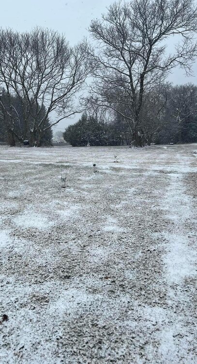
About 1/4” of slop here. Currently light rain.
-
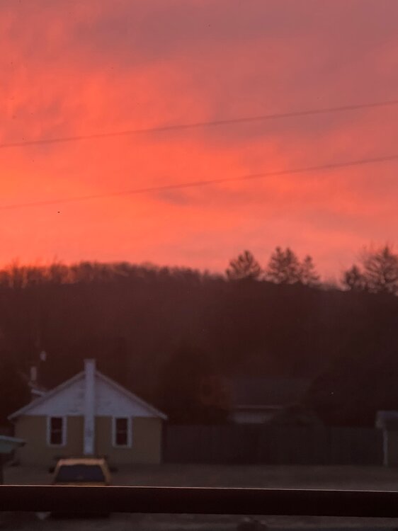
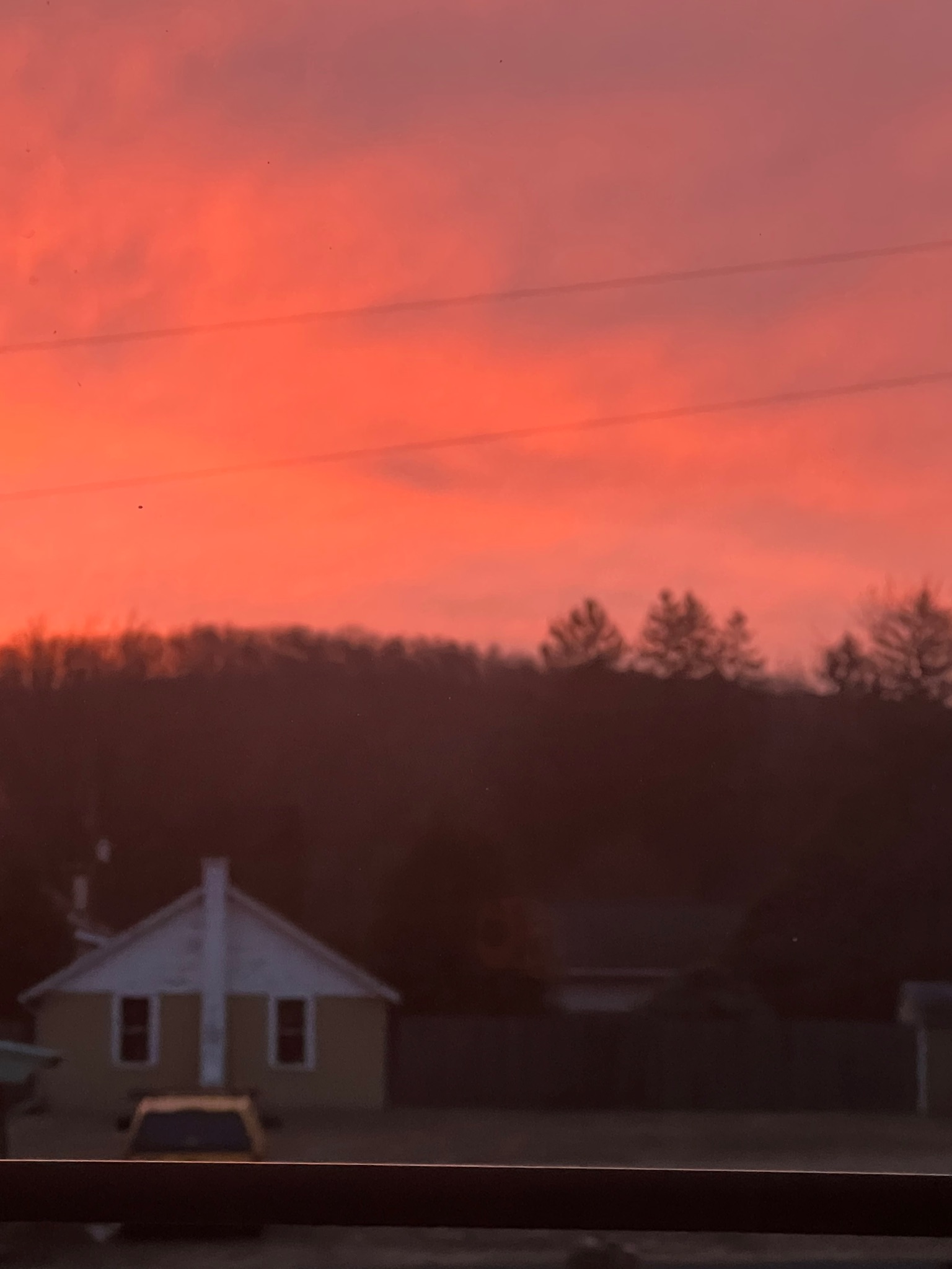
Red in the morning sailors take warning.
31 degrees this morning.
-
5
-
-
25 degrees this morning.
Totals for tomorrow seem to be all over. 1-2, 2-4, 4-6 “
-
33 and real windy this morning.
That storm yesterday caused more problems than usual.
A lot of down power lines, along with downed trees. A lot of places was without power.
Good to see the pattern change!
-
51 minutes ago, Itstrainingtime said:
Elliott just shared some thoughts - I'd say he picked some nice dates for his timeframe:
")
(4/4) With that being said, snow-lovers need to root for the upper-level low responsible for the Fri/Sat storm to track farther south. If it doesn't, we'll have a "nuisance" event with a rain/snow mix and 1-3 inch snowfall amounts (at best) on grass..
They have all been rain snow mixes this season. Not great for cleaning up but at least some snow.
-
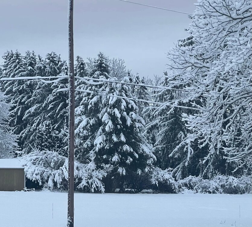
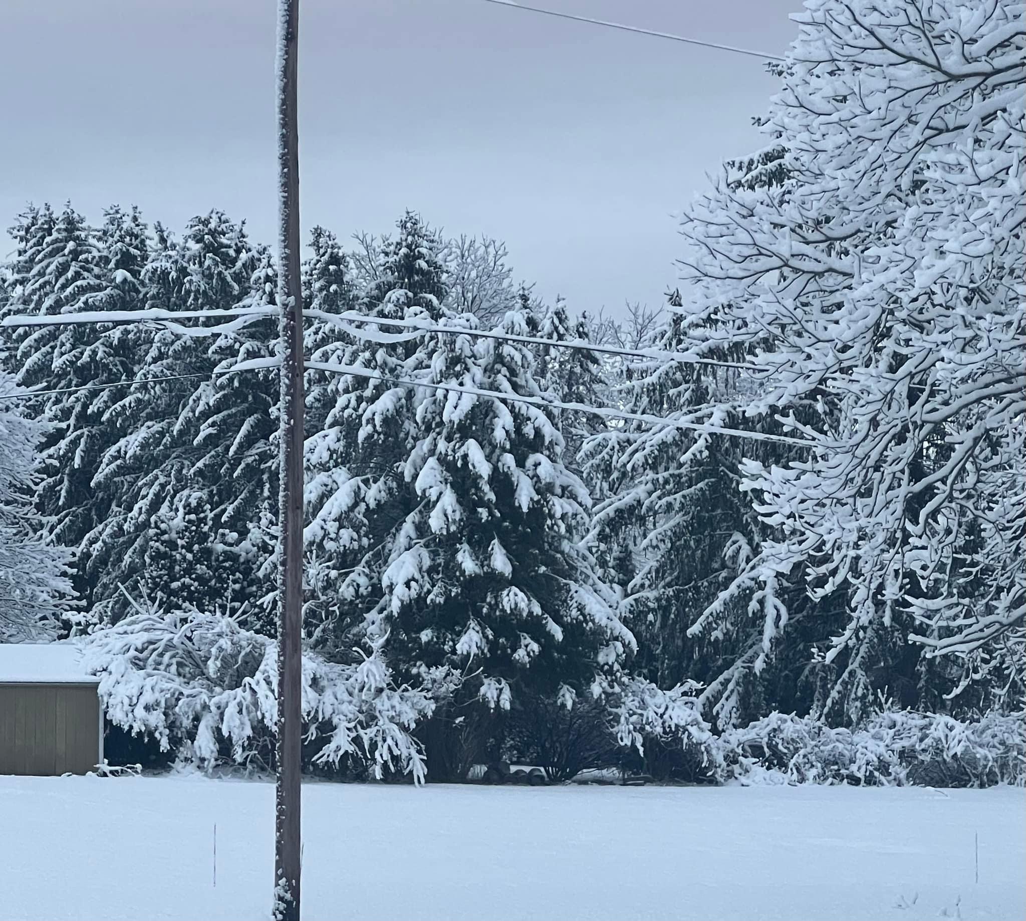
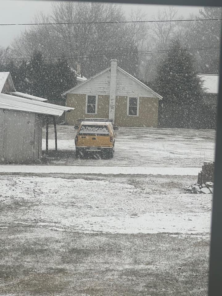
5” of snow here. Snow is sticking to everything.
-
8
-
 1
1
-
-
7 hours ago, MAG5035 said:
It might not matter for most in here but that Monday night event is intriguing, especially for the IPT folks and maybe atomix. Only the Euro really took the snow swath thru the heart C-PA up until the last few runs where other guidance is focusing northern third to half of PA after mainly being PA/NY border and north. Low tracks just south of PA but cold is marginal. Best QPF swath will run along a thin ribbon of F-gen forcing, wherever that may set up. Best bet is probably above I-80 and maybe dropping under that some in eastern PA but if the boundary trends south a bit this could get places like UNV and middle Sus between MDT and IPT more involved.
Would be a quick hitter but could be some good rates (and respectable ratios) within that F-gen forcing induced band. Guidance is putting up some pretty significant snow totals. I dunno about widespread warning amounts in northern PA but most non Euro guidance in fact has just that. NAM and new GFS op have a swath of 10”+. Certainly a swath of advisories look to be a pretty good likelihood.
I see that they upped that overnight. Was snow but no accumulation

Thanks Mag

-
0.74” of rain overnight, 37 degrees
-
 2
2
-
-
16 minutes ago, canderson said:
I spent $350 this week to replace 6 shingles that blew off 3 weeks ago.
The way the wind has been you better keep him on a retainer.
-
2
-
-
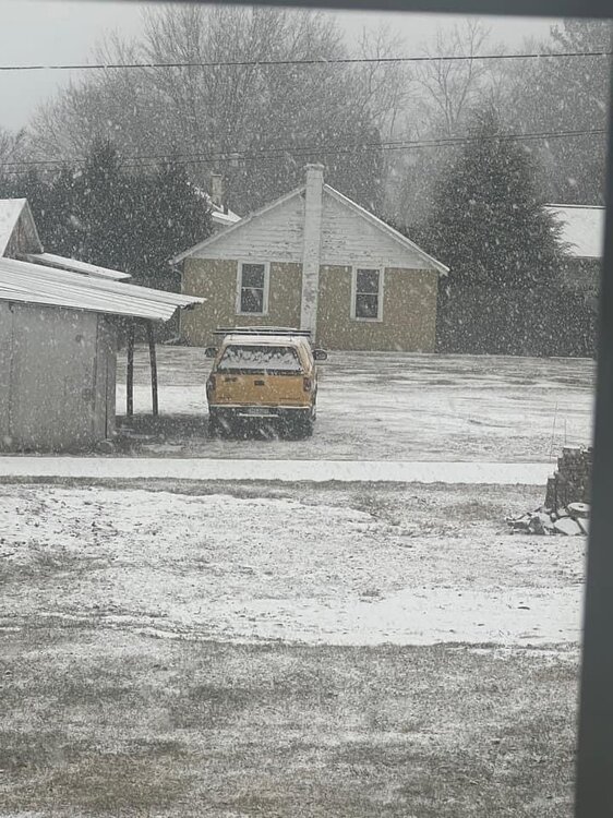
Rain, sleet and wind. 34 degrees. Had some snow flurries but changed to rain/sleet.
Looks like New York State is going to stay snow looking at the radar.
-
2 hours ago, Itstrainingtime said:
Damn - Wes (usedtobe) has made an appearance in the MA thread - NOW it's starting to get real. He hardly ever pops in any longer.
You get Wes to stop in here and give us a pep talk.
Tell him to make it snow.

-
1
-
-
22 degrees this morning.
Friday when we have precipitation it will be 40 degrees.
No blocking...
The Nam looks ugly.
-
1.3” of snow till it all got obliterated to paste. Still raining this morning, roadways are bare.
This storm follows the same pattern for the season.
Currently 35 degrees, At one point last evening 40 degrees.
-
1
-
-
Ended up with 1.2” of snow yesterday morning. It ended up all gone by mid afternoon. Wasn’t really expecting the snow yesterday morning.
17 degrees this morning. Off to a cold start.
-
2
-
-
Accumulating at fairly good rate.
-
6
-
-
23 Degrees this morning.
Chance of light snow today. Hmmm
Edit: currently snow and sleet.
With the temp definitely laying on the roads.
-
2
-
-
Big flakes and kinda a surprise.
-
3
-
-
32 minutes ago, MAG5035 said:
1.1” in under half an hour. Went to measure since there’s big sleet pellets mixing in now. Best rates I’ve seen all winter.
Is it laying on the road surface Mag?
-
Snow flurries here, 32 degrees
-
1
-
-
Nooner
46 degrees and rain showers.
-
49 minutes ago, Bubbler86 said:
The high at IPT for Thur is near 70 on the RGEM and under 50 on the GFS. Global's suggesting widespread teens Sat Am. Just like last Sat AM just a bit colder. Into a rut with these temp swings.
Just a roller coaster of a winter Bubb. Not much consistently in temperatures.
Watertown Ny 12-18” snow on Friday,
-
1
-

The Ides of March end of Winter 2023
in Upstate New York/Pennsylvania
Posted
23 and windy again this morning, with a few stray snow flurries.
Suppose to hit the 60’s on Tuesday.