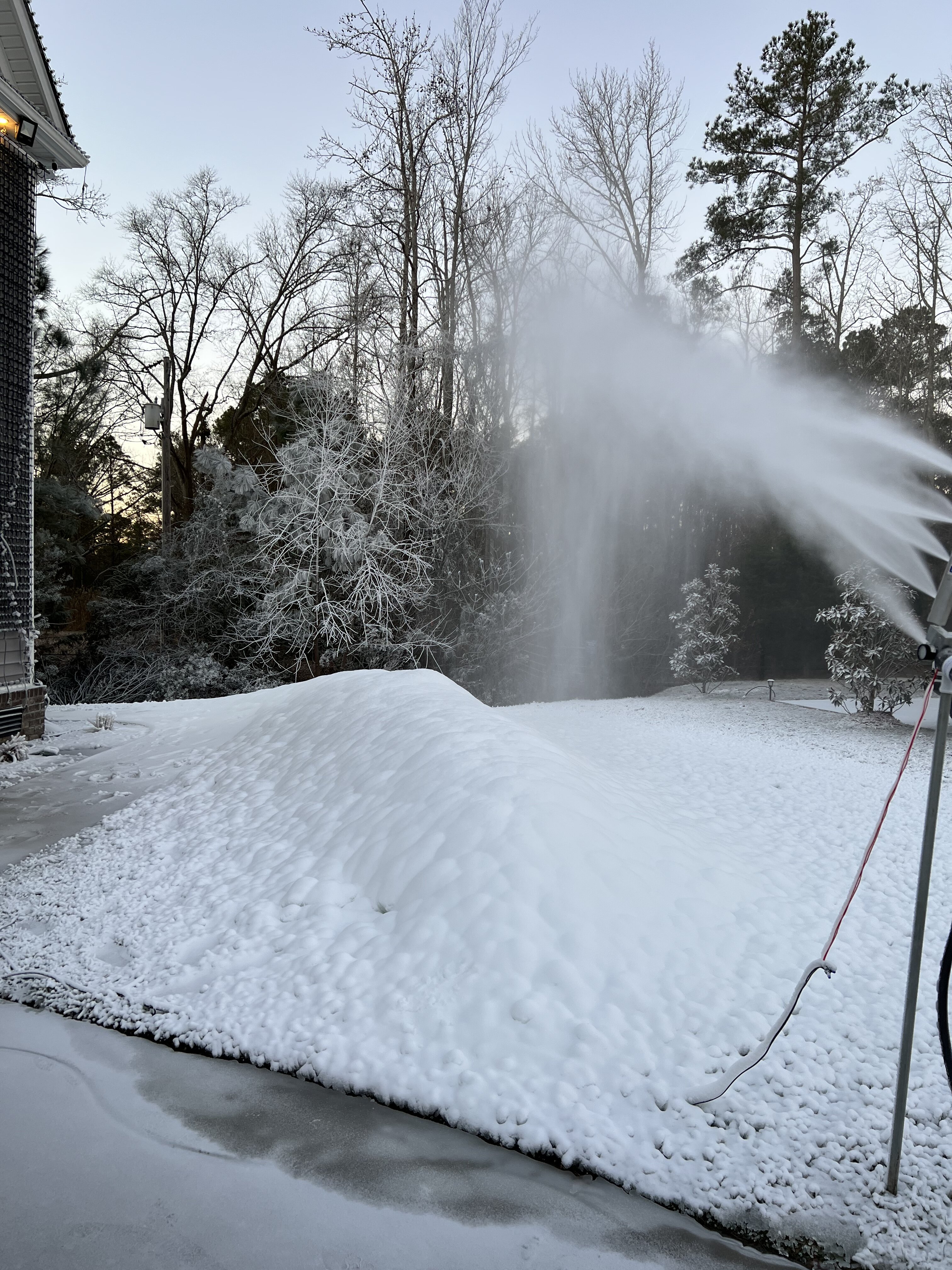

Beach Snow
-
Posts
219 -
Joined
-
Last visited
Content Type
Profiles
Blogs
Forums
American Weather
Media Demo
Store
Gallery
Posts posted by Beach Snow
-
-
-
12Z Euro coming in with the Goods!!!
-
24 minutes ago, Brick Tamland said:
Hope this one is for real. Looks like what the models were showing for tomorrow's storm a week out, and we know how that turned out.
But I am going to stay positive. Let's get this!
I’ve been going back and looking at the Canadian. It had this weekends solution 132 hours out and stayed pretty consistent run after run as we saw. So hopefully by tomorrow and or Monday 0z we see it keep showing up….need to keep off the NW trends though!!
-
Heck yea! I was gonna ask when are we starting the thread!!!
-
7 minutes ago, burrel2 said:
If you guys are obsessed with over analyzing everything like me… go look at the 48hr hrrr and tell me what is going on with that random wave in the northeast that’s wrecked our high pressure and will probably lead to our storm not riding up the coast? Is it smoking crack or what?
I haven’t seen that on any other modeling.
Looks like snow breaking out over central NC well before the storm which is not on any other model for that time stamp
-
 1
1
-
-
9 minutes ago, eyewall said:
The GEFS won't save Raleigh on this run but here are the members:

Ill take P1 and call it a season
-
 1
1
-
-
4 minutes ago, Buddy1987 said:
If you look at the 500 map on any website you desire, you will want to look at two pieces really. The energy that’s diving out of MN/Dakotas as the main piece of energy is around the gulf coast (models seem to be pretty set on this now) and then the confluence up above New England. The energy over New England basically squashes the heights and allows the system to be more south rather than turning due north and northwestward. Once that energy dives it’s a matter of timing. You have the euro that’s super aggressive with it and then you have some of the other solutions namely the GEFS that thinks it happens later and also allows the storm to take more of an east/northeasterly direction because of factors listed above
The other factors is the NAO domain. Had that been a little further to the west than it is the storm would never have a chance to take a storm track like you’re seeing on some of these model runs. Now that makes some happy and others not so much. I can tell you WNC/SVA guys love this look and it’s classic major onslaught of heavy snow, as the flow comes out of the south southeast and piles up copious amounts of moisture along the blue ridge.
Thanks for the insight
-
What are we looking for to keep the low from shooting straight north from exiting the SC coast and a move toward more of a ENE movement? Is that even a possibility given the current state of the atmosphere?
-
2 minutes ago, ILMRoss said:
Whoa, the ICON pulls the 500z ULL through the Carolinas... breath of fresh air after these models wanted to bring it up the spine of the apps.
The 00z ICON, I should mention, is warmer on what looks like every level.
Yes certainly warmer but hopefully that’s just noise…great trend on the LP
-
1
-
-
Ryan Maue tweeting don’t look at NAM and look at RGEM. Says upgraded and better. RGEM is certainly more north of NAM but also was 18z last run
-
Does 18z euro only run to 90 for surface and precip types?
seeing snow maps and LP 500mb maps past 90 with 18z init In the MA forum
-
I’m trying to wishcast this low to transfer or exit off the NC/SC coast to get some snow here in SE Va. good trends tho!
-
18z euro seems the coldest so far of the models
-
Looking back at the NAM appears not much difference at 500mb
-
The NAM didn’t do too terribly bad within 84 hours of the last MA storm a week ago…can only hope
-
Massive difference on GFS 06z Sunday low placement from 18z nam. This could be huge as we get closer with mesoscale models
-
 2
2
-
-
It’s 18z run was what we needed than 0z came in like GFS…would be nice to start seeing an south easterly trend today toward ensembles
-
1
-
-
3 minutes ago, franklin NCwx said:
Lol... almost a whole page on the icon
Haha had too! 18z was giving some hope!
-
Almost identical to 12z run…18z must have been a fluke
-
1
-
-
Was just going to post that…96 noticeable shift south on LP
-
2
-
-
Wow 18z GEFS way east of 12z…like this trend for us Coasties
-
3
-
1
-
-
agree from what i have read and here but a much more surpressed track than 12z.
-
is the Canadian stuck?
-
1
-
-
this play by play is awesome!
-
1
-
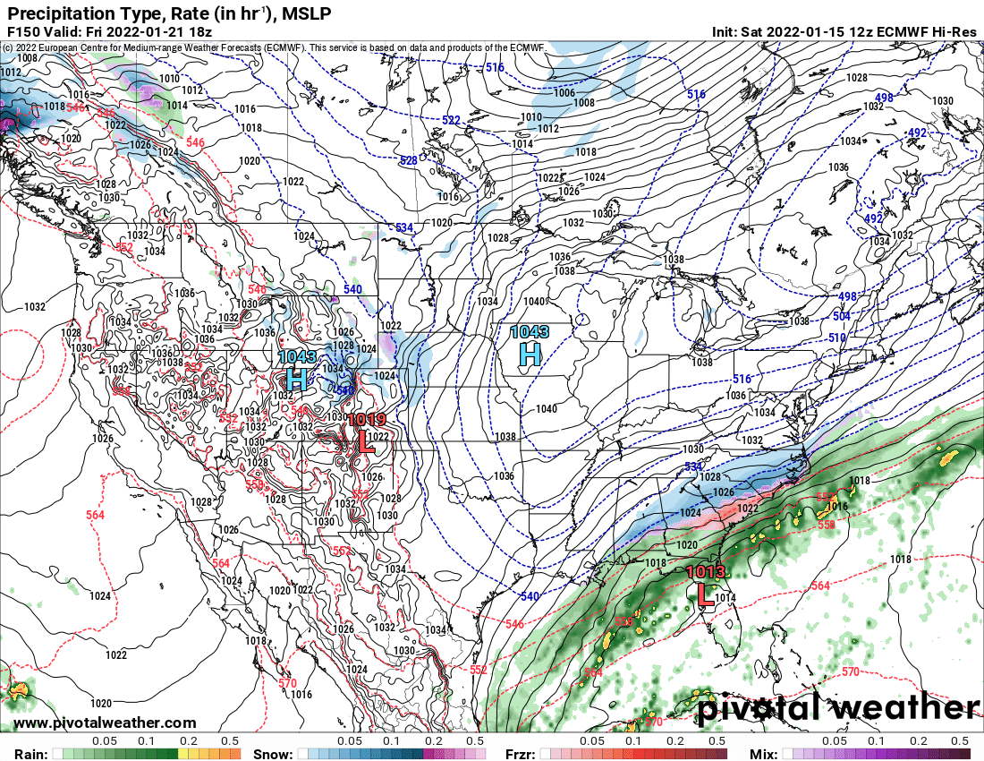

January 20-22 “bring the mojo” winter storm threat
in Southeastern States
Posted
Wow this is a long duration event….i hope this verifies!!