.jpg.0d116cf1ef87110697ff67fc9ad286ea.jpg)
BYG Jacob
-
Posts
258 -
Joined
-
Last visited
Content Type
Profiles
Blogs
Forums
American Weather
Media Demo
Store
Gallery
Everything posted by BYG Jacob
-
-
-
-
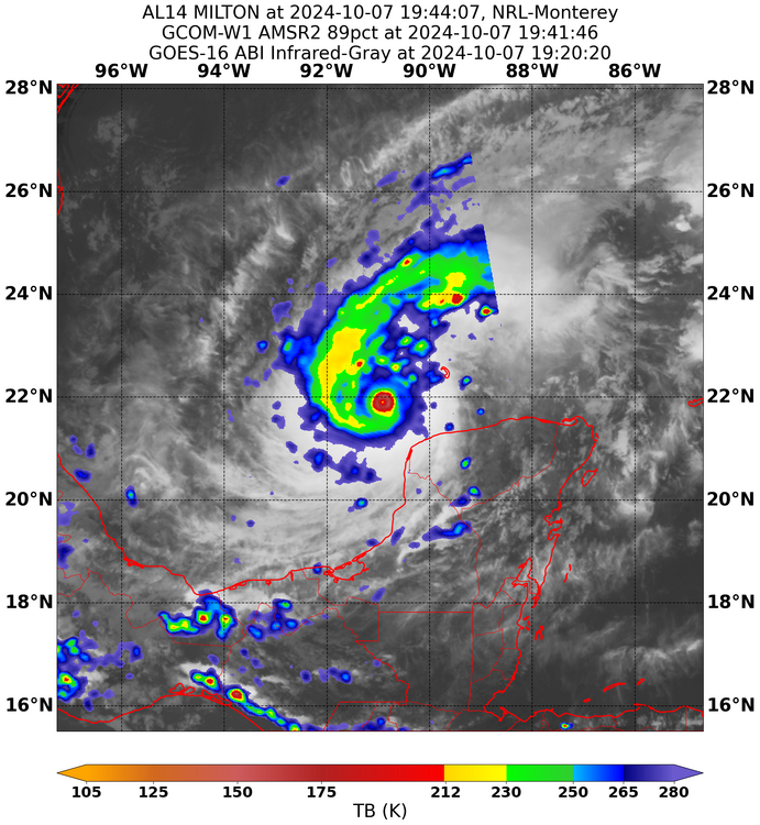
This storm has had a consistent EEL signature for basically the whole day. I would bank on the storm still intensifying.
-
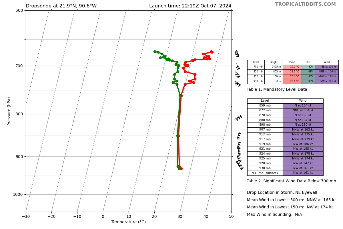
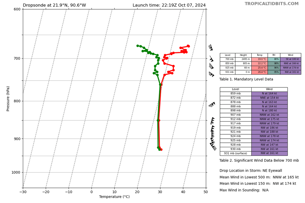
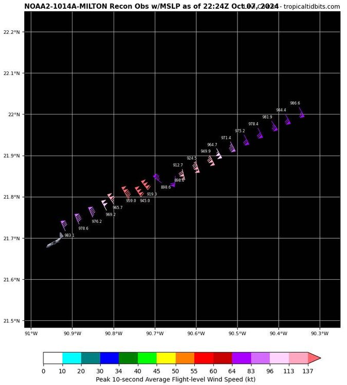
That’s up there with the batshit drops from Dorian/Irma/Maria, and that’s the weakest quad.
-
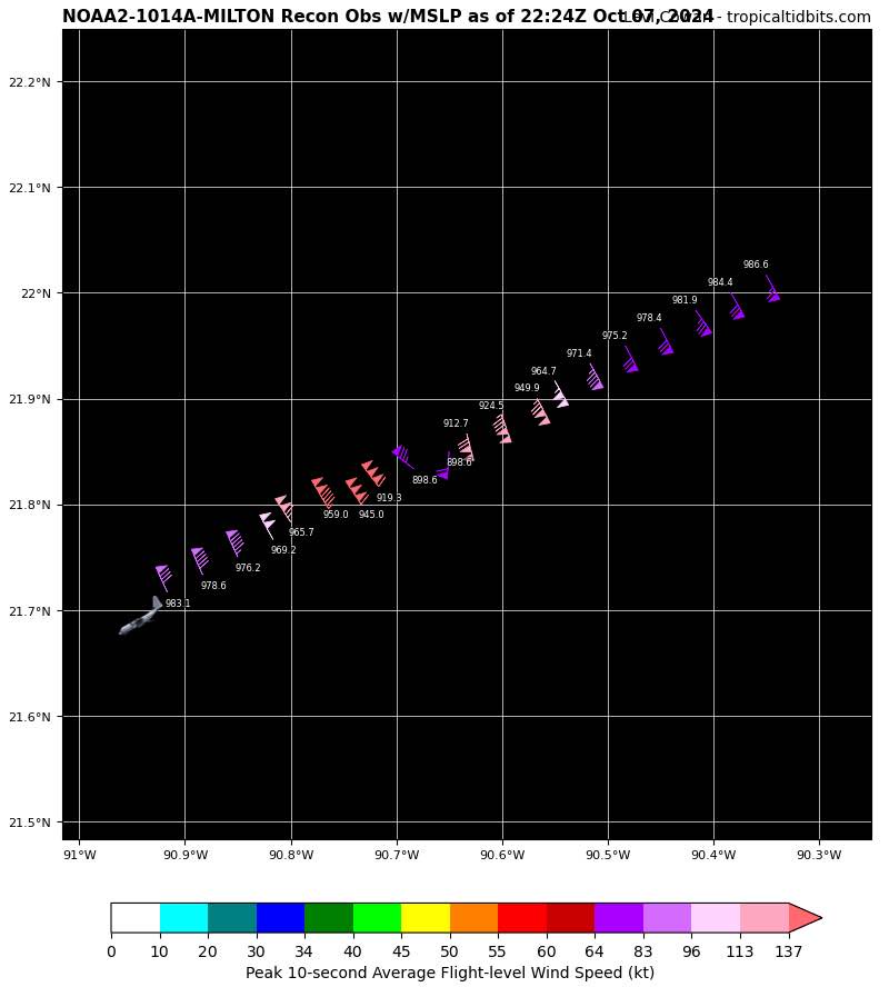
The insane SFMR was in the storms weakest quadrant.
-
154 FL and unflagged 176 knot SFMR, may also be a bit lower than 914 given the wind reading it occurred with
-
It’s hard to tell for sure, but it appears there is a touch of a northerly motion.
-
Not in the Gulf
-
Rita at 895
-
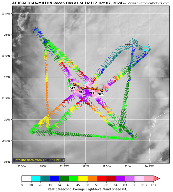
Not great bob
-
The mother of all EEL signatures
-
I’m not sure, the shear direction aligns with the storm motion. The models probably just got it wrong. EDIT: I’d like to hear from a meteorologist about this, I understand Jet = dead storm lul, but most storms aren’t moving East.
-
Pressure and FL winds supportive of a category 5
-
A hallmark of a legendary cane
-
Flagged 142 knot SFMR, but unflagged 136 knot and 139 knot FL. Almost a category 5
-
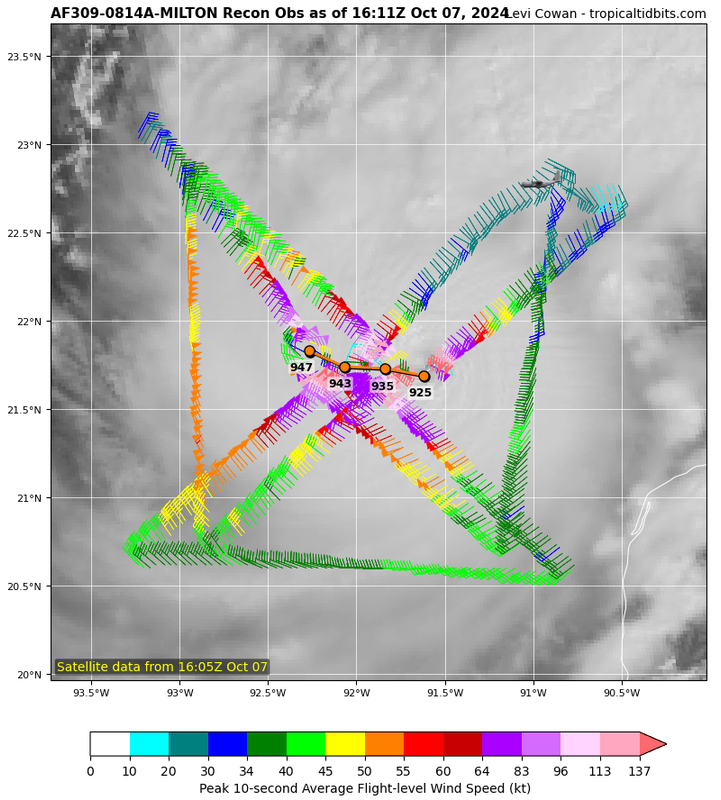
933 extrap, an insane rate of intensification
-
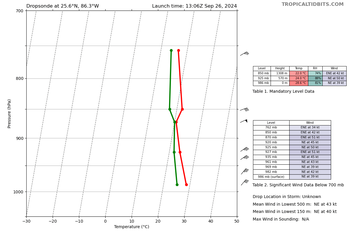
982 on the dropsonde. The only issue I can see are the highest rain rates are in a band outside the developing eyewall
-
-
Pressure is going to bottom out as those get ingested while the eyewall contracts
-
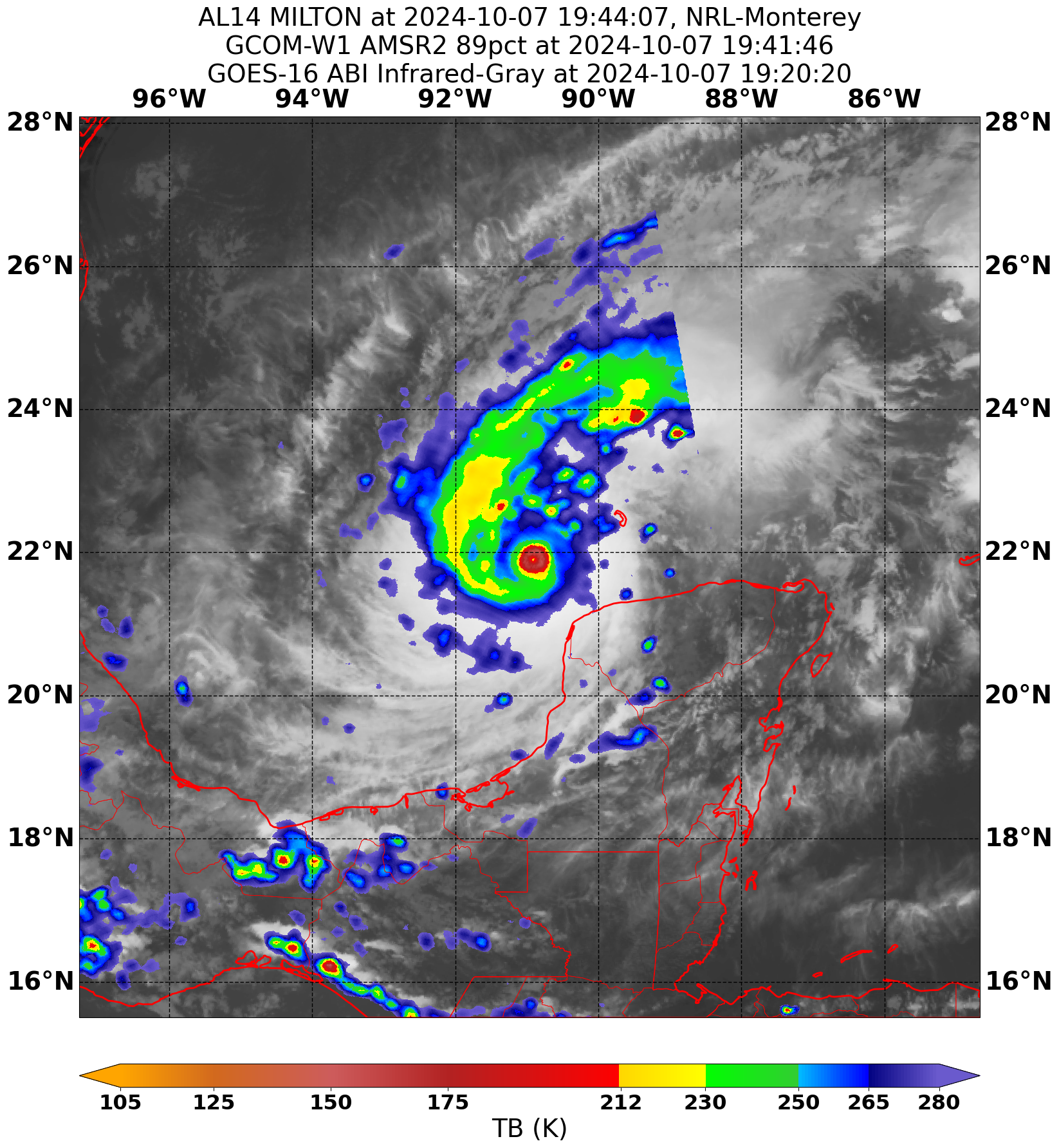
Finally stopped puking out outflow boundaries. Looks much better right now.
-
Took another gulp of dry air
-
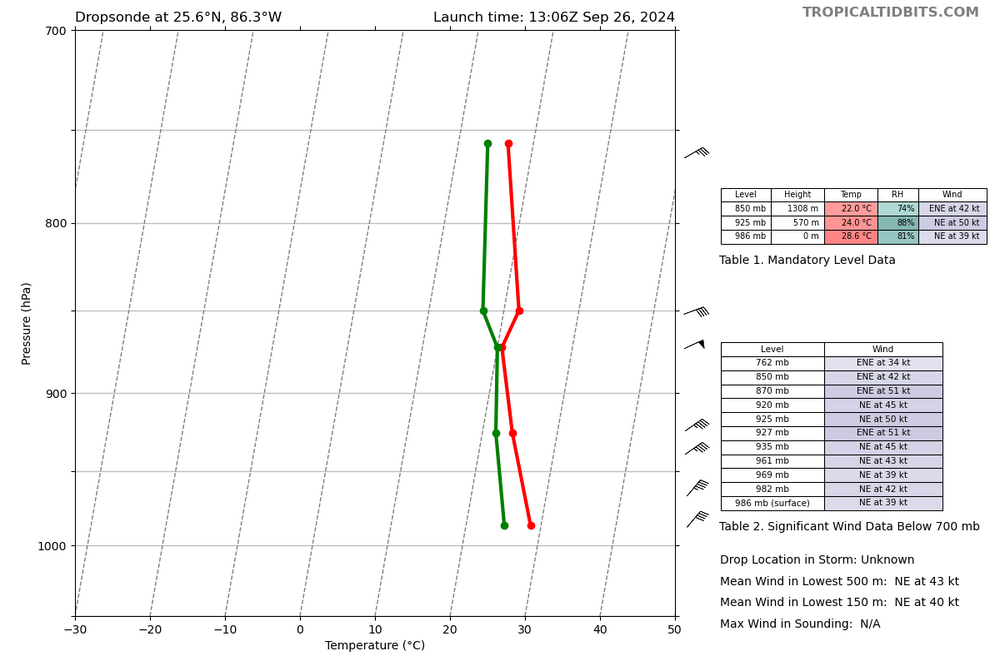
Not sure if that’s subsidence from convection, but RH values that low aren’t going to cut it for a major hurricane, and that is getting pulled into the core of the storm
-
Helene is still dealing with mid level dry air, you can see it on WV and dropsondes
-
Looks like it finally managed to pinch it off, just a matter of shoving out whatever is left.
.thumb.jpg.5af6c8520bd26ab0d13e24b2747484e1.jpg)