

jackb979
-
Posts
75 -
Joined
-
Last visited
Content Type
Profiles
Blogs
Forums
American Weather
Media Demo
Store
Gallery
Everything posted by jackb979
-
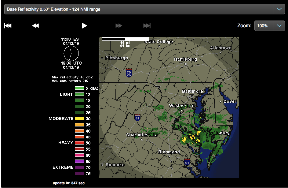
And after 6,703 mid atlantic sub-forum posts related to this storm (threat threat+storm mode thread+this thread), this storm is wrapping up here in McLean with a little over 10 inches on the ground. What a fun storm to track Would really be interested in hearing a post-mortem by one of the more experienced members of this sub. Talk about an overperformer-a couple days ago we were saying we'd consider ourselves lucky if we got 5 inches of snow.
-
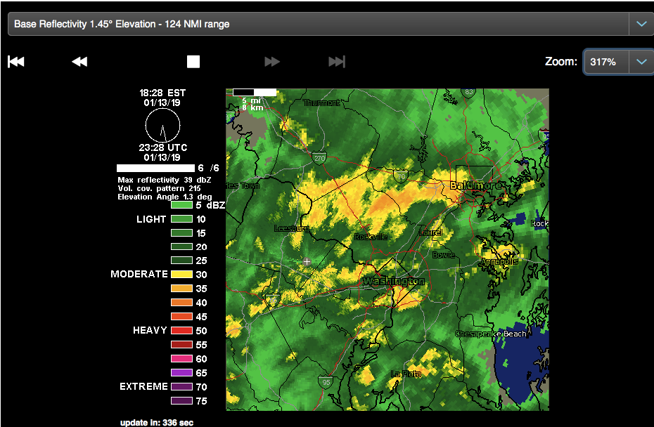
Maryland, you're in the jackpot right now. Wow
-
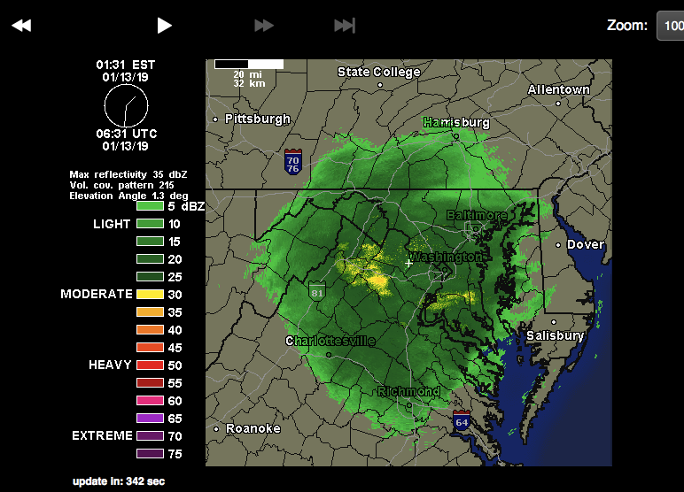
A couple more bands to move through before this thing is set and done. (also, wow that band in Maryland)
-
Still coming down pretty heavy in McLean with no signs of stopping on the radar for at least a couple hours. Tried to go out in the car, but roads were an absolute mess and turned around.
-
Good time to remember when we all thought this would be a 2-4 event tops, and crossed our fingers for 5
-
Had a really strong burst of heavy snow over past 45mins or so. Slowing down a bit now but probably got close of an inch from it. Roads all covered again
-
Big flakes now in Mclean snowing at a pretty good clip with this band (sleet only lasted a minute or two)
-
Sleeting in McLean right as this band gets going :/
-
-
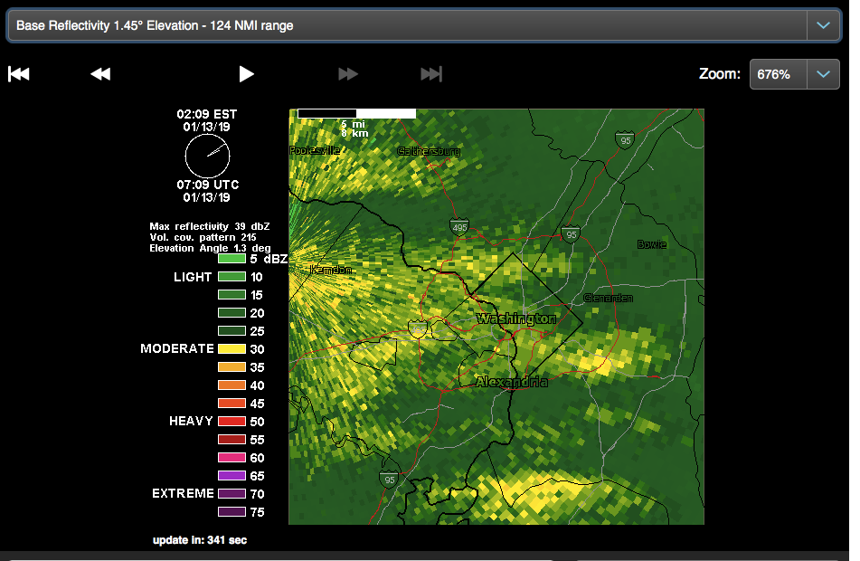
incoming for DC....
-
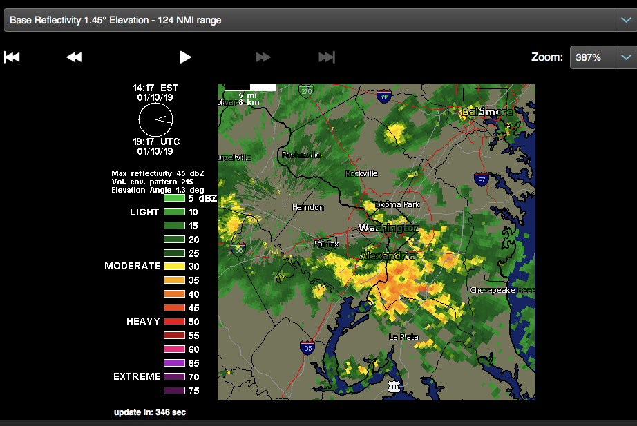
Another nice band coming out of the SW moving NE (again, I removed clutter on the radar to highlight the stronger bands, the radar isn't this sparse)
-
Had a big burst of heavy snow while out shoveling- lasted for about 10-15mins. Least measured a little over 6 inches here
-
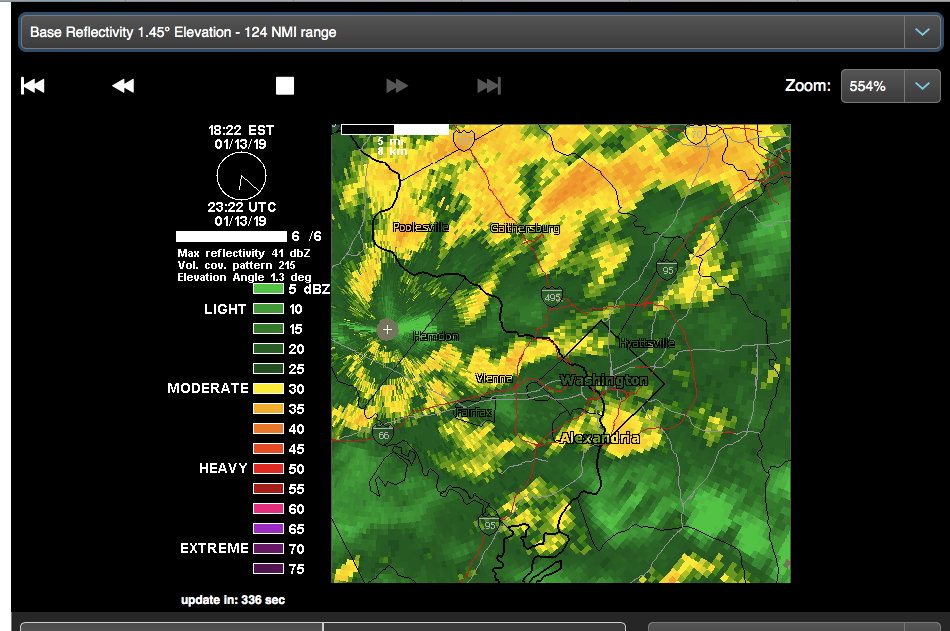
Still very light snow in McLean. Looks like we're at the foot of that huge band moving into Arlington/DC so hopefully we can get in on that
-
Hoping this heavier band near Charlottesville is working its way up to DC (i removed clutter from the radar, which is why it looks so sparse)
-
Good HRRR animation for the rest of the day
-
-
-
Steady snow in McLean. A little over 5.5 inches on the ground
-
Good spot to be in here in Fairfax!
-
Heavy snow in McLean right now as this stronger band moves through
-
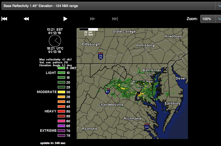
Nice band heading into loudon/fairfax soon
-
Heavier snow picking up in McLean near Tysons Corner as this heavier band comes in (after experiencing a lull for an hour or so).
-
Roads are a mess around here everywhere except the beltway and dulles tollroad. Was snowing at a good clip for past couple hours but seem to be in a lull right now. short term models show it picking up again around 2 or 3 am
-
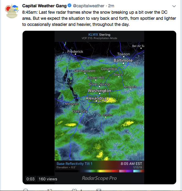
Don't know if this has been posted here, but good info on the duration of this event https://twitter.com/capitalweather/status/1084280206242840576
-
Driving back from Lexington to DC, flakes coming down real hard near Strasburg (roads seem fine though-VDOT was out in force this morning getting ready) dont worry not texting and driving here-i’m not the one driving

