
MJV
-
Posts
25 -
Joined
-
Last visited
Content Type
Profiles
Blogs
Forums
American Weather
Media Demo
Store
Gallery
Everything posted by MJV
-
Howdy!! It's been awhile. I'm certainly removed from my 'job' but like to keep the weather watch 'flow' going now and then. This sort of reminds me of the early 2000s when I worked in NW Calif and the summers (June and July) were cold and breezy.
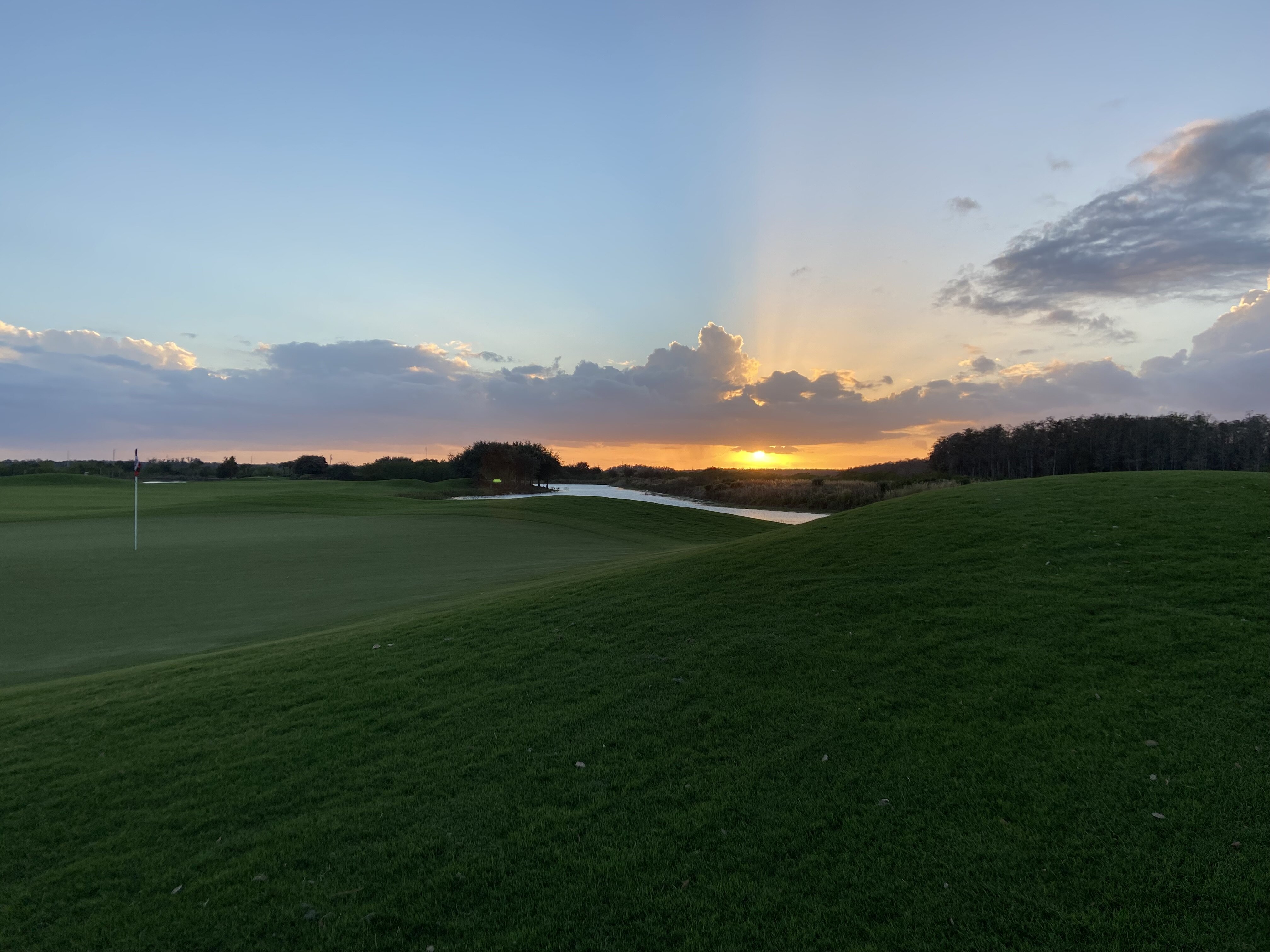
This "wet season" has started out strangely --- and now 7 years into this tropical savannah climate SW FL lifestyle --- I'm impressed by the subtle differences from season to season. I'm at 1.15" into a season (June) that tells me 8-9" is a normal June rainfall month. By July 4th -- our ponds at Panther Run GC (NE Collier county FL) --- are usually full. AM CURIOUS though --- can we get where we should be in the next 3 weeks? I'm not complaining --- my Key Lime and Calamansi trees , Gardenias and Hibiscus are loving it right now.
My opinion only here --- when in an El Nino year --- 'signature' --- I'm feeling a soft hurricane season for us (for SW FL). I like the idea because of what I see along the west coast and downstream --- and too much persistent longwave troughing along 80W longitude. The warm SSTs in the easter Atlantic will get all the "climate change" headlines --- but nothing will reach us --- from the south that is (Cuba and Jamaica). That's my weather watch 'danger zone' and all clear forecast!!! Normally wouldn't even get the wx watch desk fired up until mis-August but I'm calling it now. LOL Regards MJV
I
-
Hopefully we can put a bow on this wet season now--- Eta passed by last night with good rainfall (3.04 inches) in the past 48 hours (7am Sat to 7am Mon). Have another .85 in the gauge as of this writing. No real issues with the winds here in Ave Maria---stayed in the 20-30 mph all day yesterday---and I saw KAPF and KIMM with gusts in the 38-40mph range.
NHC did a good job with this system---especially with the strange storm track. WPC did well within its scope on the rainfall totals too.
My wet season totals in 2020 were helter-skelter overall. May 9.36", June 6.96", July 9.95", August 5.97", September 12.44" and October 4.29". Signing out until next summer. Regards MJV
-
Howdy! The weather window has arrived a couple of weeks early --- for southwest FL I guess it's time to start looking at things. So far this wet season --- rainfall has been consistent if not abundant here in 'inland' Collier county. In May (9.36"), June (6.76"), July so far (8.90"). Usually wait until the "I" storm--- so it's early. Two observations--- am bias towards the folks at WPC for any real day 5-7 guidance since they sincerely do a A+ weather watch for anything headed for the CONUS. And (2) the NHC DISCUSSION today---pulled out a long-used phrase today---one that tells me they don't have a clue--- "users should remember" ...
When they do that --- oh boy. LOL We already knew that you guys can't get 20% of the forecast close beyond 3 days ---a LONG time ago---let alone 12 hours out ---so WHY reminds us. Mind you, I really have had sooooo many experiences in the past with them as a forecaster (but I don't forecast anymore so I can easily be brushed off by them as a ______ ( you fill in the blank).
But we do live in the greatest country in the world, and I can STILL express my humble opinion and critique that falls on deaf ears. Which is what I just did. Thank the Lord that I STILL have that option in today's world. Anyway, I'm going to keep tabs on things going forward until we head for Montana (for my dear niece's wedding).
PS...My inclination is to throw out the EC_and give some love to the GEFS/NAEFS for this particular "I" storm scenario. The "G" storm was over-hyped (we have to mention TWC here) --- and so far south latitude wise but I don't get the opportunity anymore to do a "weather watch" AND I really don't WANT to (tongue-in-cheek).
Best Regards Mike Vojtesak
-
signing off until next August. Only had 0.96" for the month of September. It actually felt like the wet season came to an end after Dorian passed by---
-
-
Forgive me. LOL I'm nearly 60 yrs old---but now that I read the MOU--- I only logon during the hurricane season now---because this is where I live---about 25 ENE of Naples FL. I don't claim to be much of anything---but if you see my profile---I DID MY TIME --- with the USAF and NWS. In fact I supervised a lead met that currently works at NWS MIA and a lead @ TAFB. Good kids and diligent workers. Think nothing but the best of them. Quality individuals. Background---NHC and JTWC. They never liked me. LOL Basically, they don't care for the why question. And IMHO, too bad because they could've looked better if they'd listened to me back then. Dooh. I can say that now---in retrospect. But if you throw stones at a glass house---ANYTIME during that career. Duh. But IF (in my case) you get it RIGHT---they tolerate you. Just recently went to the Baltic on a cruise and the RUSSIANS almost didn't let me in their country. I exclaimed..."Dude, I'm 59 years old. really?" They knew more about what I did for the USA than Americana does. It's all good, really. So proud and blessed to be part of the best country on Earth right now! But is was a little unnerving that they knew what I DID or USE TO DO. That said---for anyone who actually has read what I'm saying or have said. I am NEVER being anything but REAL. My experiences with some of these folks --- who work hurricane forecasts are LAUGHABLE. NEVER am I telling something that is speculation--it is what I EXPERIENCED and had to live through. If it offends and/or intimidates anyone---please forgive me. There IS someone who judges us all---and I honestly can say--I am no threat to YOU. My humble and clear conversations-- Best Regards---MJV
-
I'm disappointed but not surprised---how the "first with the worst" mentality "pervades" and attempts to 'persuade others' when the Atlantic season is so quiet---and the first decent cyclone of the season has developed. Last evening---it was the weather channel (I won't even use caps to acknowledge them anymore) who showed a deterministic run of the ECMWF out to day 5. Shame on them. That didn't help to qualm the mild hysteria that is pervasive in southwest Florida (IMHO). I"M soooo glad I retired almost 3 years ago after a 9-year stint at WPC. For whatever it's worth, the NHC discussion typifies what I dealt wit my last 4-5 years---The NHC forecaster 'thinks" it could do pretty much anything. Huh? Really? After 4 days of runs chasing the system (now expected to be a cat4) do you really suddenly think the east coast is FREE and CLEAR?. Yes, Mr Avila. I'm sure in your infinite wisdom the eye may actually track to YOUR exact location (from A to Z) in 24 hours... BUT no mention of northern quadrant swell, wind wave...wind, etc. NOTHING. I can't imagine what that conference call was like today on the medium range desk at WPC. I write as I listen to --- For the Summer by Ray LaMontagne PS---17.48 inches for rain this August Regards from Ave Maria FL Mike Vojtesak
-
Back online for the duration of the hurricane WINDOW. Not much new going on around here---and we hope it'll continue to be a tranquil 2018 hurricane season across south Florida. I see and read some of the build-up amongst the national media---that seem to be 'chomping at the bit' --- with hints of organization out in the day +7 to day +10 time frame. The "first with the worst" thought process and mindset gets old for me personally. Fortunately, our local TV weather guys seem to be very wise about mitigating the hype. Suppose we could use a little more rain though---am down a good amount from last year's 'wet season'. 2018 rainfall --- May 6.65 June 8.02 July 7.11 and August 6.98 or 28.76" for the season . Our 2017 May-Aug rainfall total 45.24".
So a few SE-to NW-moving mid-level disturbances ---passing overhead --- would be helpful!
Regards from northeast Collier county FL
-
We are all safe and back 100% to pre-Irma conditions. Our community experienced the eastern eyewall for the entire duration of Irma's northward trek through southwest FL. A total of 3-4 hours. Post-Andrew construction was largely untouched by these tremendous winds, but 1000s of live oaks were downed. Ave Maria's water treatment plant held firm and we never lost pressure. We had no flooding of residences. Unfortunately, others in wood-framed housing around us (all the smaller towns along US29 and state route 82) in Collier and Lee counties are in great need of assistance! Power was back in 50-60% of the residences in Immokalee as of Friday afternoon. People are streaming from all parts of Florida to help with the cleanup and restoration.
-
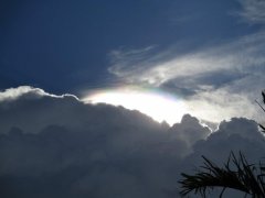 looking to the west of Ave Maria FL 8/17/17
 -
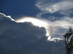 Looking west from home---8/17/17
 -
Enjoying the quiet life in Collier county FL. Look forward now---to the start of hurricane season---down our way. Just getting setup with the account.