PB-99
-
Posts
973 -
Joined
-
Last visited
Content Type
Profiles
Blogs
Forums
American Weather
Media Demo
Store
Gallery
Posts posted by PB-99
-
-
Just had an Earthquake here peeps at 2 am.
-
 5
5
-
-
-
Being this strong a CAT 4 might as well be a 5.
The destruction is going to be the same.
I hope everyone gets out of the way. The pics on Friday will be devastating.
-
 1
1
-
-
NHC, 20 foot storm surge possible.
Unsurvivable
-
Laura is now a 4
140 / 155
952
-
The Euro is busy Fri through Sun.


-
 2
2
-
-
Poss Tor threat this weekend ?
-
 1
1
-
-
-
7 minutes ago, Rjay said:
There was likely a tornado on the ground just south of Red Bank
I was just going to type if someone south of me saw a funnel I would not be shocked
-
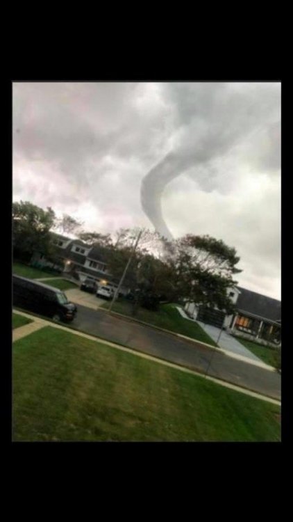
Got TOR warned here in Red Bank. So close, that hook echo passed right overhead
Lightning was hitting everywhere.
Lost power temp. What a sick storm.
-
1 minute ago, Rjay said:
It's hard to compare bc this storm wasn't purely tropical. But in your scenario, the main difference would be that areas near and just east of the center would have been hit much harder.
Yes, we owe the DR a hug.
-
 1
1
-
-
1 minute ago, jm1220 said:
On tracks like these, dry air and shear get to them very quickly. You saw how fast the sun came out this afternoon-all the moisture in the storm was pushed out ahead of it. I will say it definitely would’ve been worse if it had 12 more hours over water near NC. It definitely was organizing at the end and couldve made it to Cat 2.
if this was a strong 3 in the SE ( NC landfall) , it would have hit the NJ shore and LI as a 2.
-
7 minutes ago, SnowGoose69 said:
Its just hard to get it. Most majors occur in September in that area and by then normally the environment from JAX-NC coast is not usually as good so the systems tend to weaken on that bend. The best way to get a 3 here is the 1938 setup
This didn't really weaken on that jet.
If it had 130 mph sustained with gusts to 150 slamming into NC from the S, the jet took this up so fast, that the center would have had max sustained 115/120 with gusts to 130/140.
That's all it takes. You have 29c water all the way to Hatteras.
This didn't fall apart, it weakened some by the time it got to 40 because it rocketed NNE.
We are lucky DR was sitting there.
-
 1
1
-
-
Had this been a 3 in the SE, this would have been a devastating storm for the NJ coast and accross LI.
Now you know how you could get a major up here, if it's a major in the SE and catches the jet just right and takes a track like this did, you would have seen a very ugly outcome
-
 2
2
-
-
Backside winds starting to fire up.
-
KFRG 78.
Come on, I need 2 mph.
Someone find me an 80.
-
JFK gusted to 70 ?
-
 1
1
-
-
Highest real NJ shore wind gust I saw was 75 mph so far.
-
Cantore getting raked right now.
-
983 now, a tick away from the UKMETs 977
-
 1
1
-
-
100 mph gusts off the coast of NC.
-
27 minutes ago, jm1220 said:
Wow. Starting to think the more intense impacts up here will be possible given the accelerating speed of it and it not weakening as much as normal over land due to the trough interaction
That always the risk. We are lucky this isn't a strong 2 right now or you would be looking at 100mph plus gusts and not the that's 80mph possible across the shore line.
The forward speed getting caught in the jet was always the concern for this holding its field all the way to 40N
-
-


September 2020 wx discussion
in New York City Metro
Posted
3.1