
Tealsnowball
-
Posts
36 -
Joined
-
Last visited
Content Type
Profiles
Blogs
Forums
American Weather
Media Demo
Store
Gallery
Posts posted by Tealsnowball
-
-
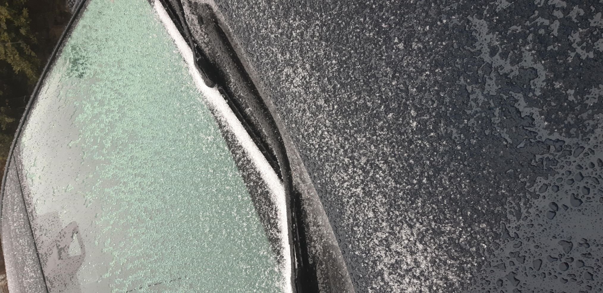
Precipitation has transitioned over from heavy snow to heavy sleet in Roanoke. Measured a little over 5 inches just after the transition occurred.
-
 2
2
-
-
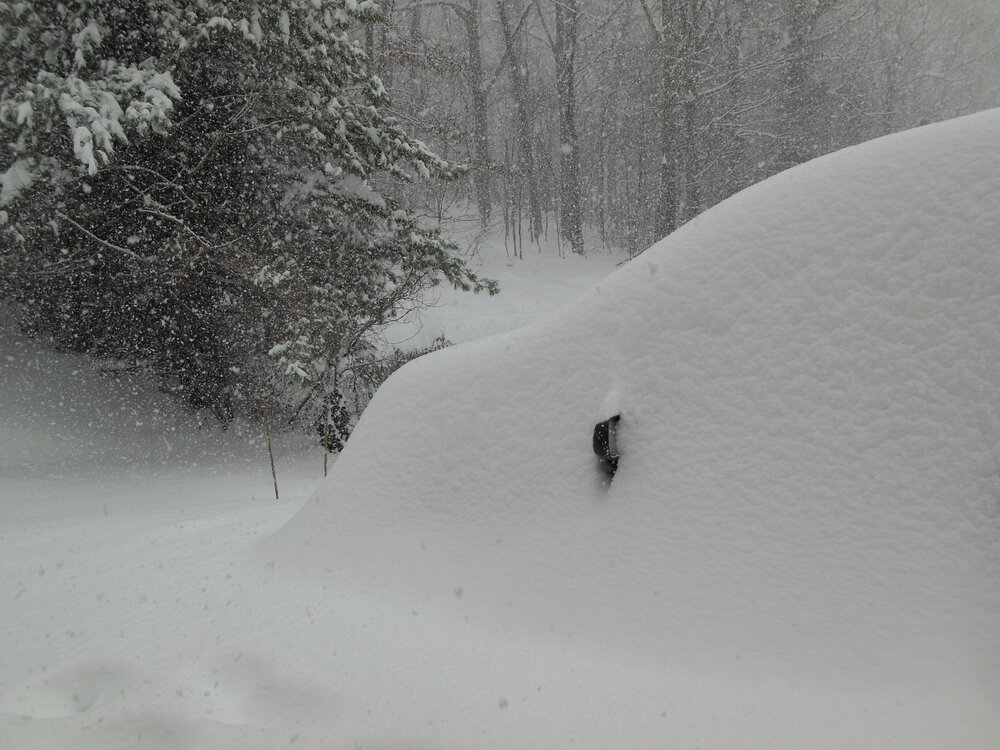
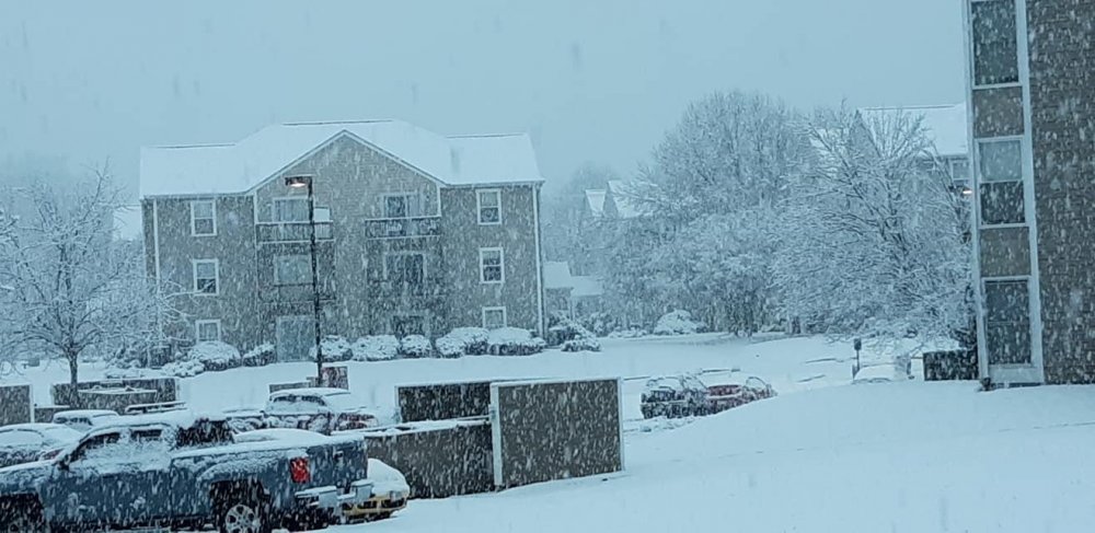
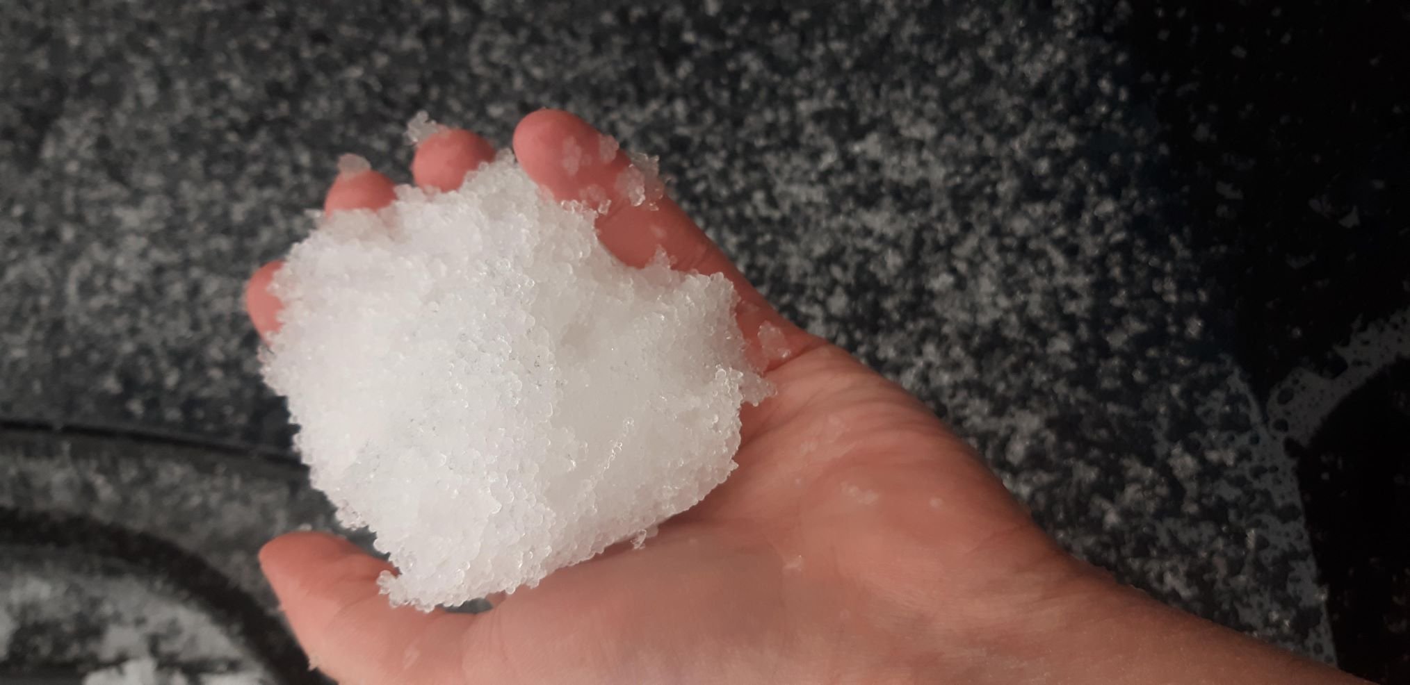
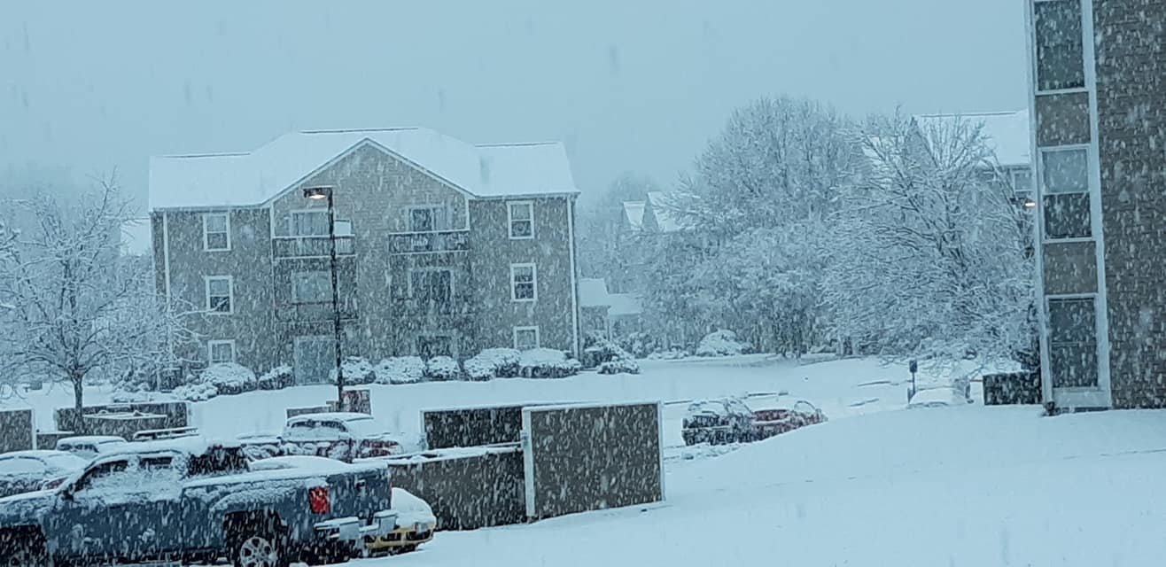
21 degrees in Southwest Roanoke County, VA. Measured anywhere from 3 to 3 1/4 inches of snow. Heavy snow at the moment with about another 2 hours worth heavy snow coming at least before the switch to sleet occurs.
![IMG_20220116_131757[1031].jpg](https://www.americanwx.com/bb/uploads/monthly_2022_01/1230326200_IMG_20220116_1317571031.thumb.jpg.a38375d6ef550f60620984cc78dbce65.jpg)
![IMG_20220116_131703[1032].jpg](https://www.americanwx.com/bb/uploads/monthly_2022_01/295255964_IMG_20220116_1317031032.thumb.jpg.272c2a9548bb57305dbe84b342de2b78.jpg)
-
4
-
-
20 minutes ago, Buddy1987 said:
@Discif I remember correctly that 2014 snowstorm where we got a solid 20'' or so, that ULL swung through on the back and using the word outperformed was an understatement. I'm hoping that it helps us in this regard here too. Either that or the front end thump produces 1-2'' per hour rates for 4-6 hours and we do a lot of damage on the front end before any PL becomes an issue.
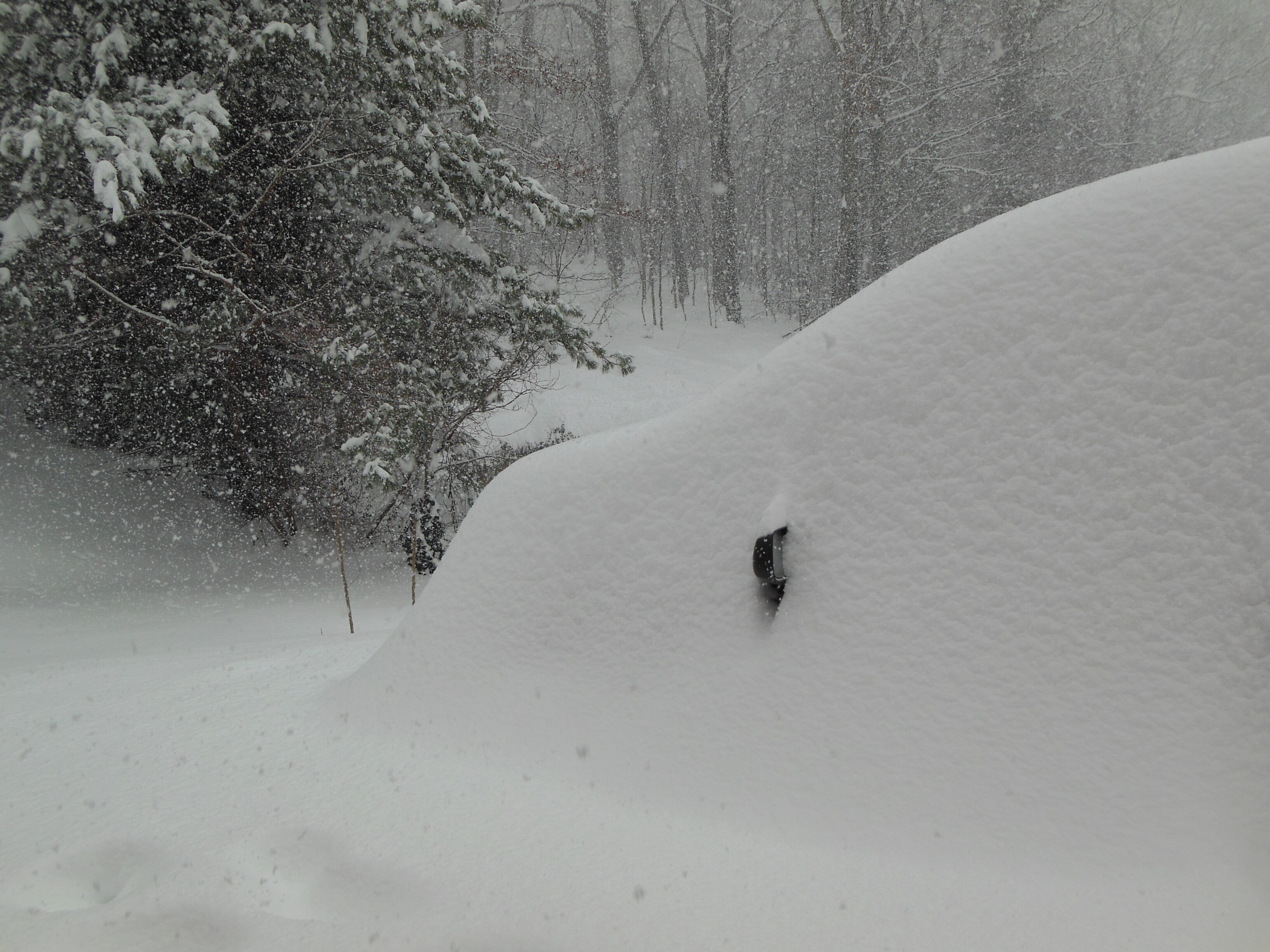
The 2014 storm was a thing of beauty. I too remember monitoring the radar. The first thump came through during the evening. The following morning I remember my vehicle completely buried in 20 total inches of snow. The ULL went right through the heart of our area and the rate of snowfall was ferocious. Picture of that storm below.
In regards to this storm for the Roanoke Valley, I have that gut feeling just as Disc does. The mixing, the way the moisture is positioned. It just screams something like 4-7 inches of a snow/sleet mix. A nice front end thump in the morning Sunday, and then sleet in the afternoon to top it off before the system exits our area.
-
 1
1
-
-
3 minutes ago, Buddy1987 said:
I am still in a camp (and may be the only soul left) to where I believe the models are being ultra aggressive in driving the LP too far north and west. You look at past events and with the baroclinic zone/Gulf Stream, a lot of storms tend to stick there. My money at the moment is a Fayetville/Wilmington to VA Capes track.
No, I agree with you. Thinking it will readjust a bit east somewhat. At this point though I'd be ecstatic with 4 inches of "crunch"!
-
4
-
-
-
24 minutes ago, PantherJustin said:
Anyone up between West Jefferson - ROA maybe “Buck MT” ? I see 32 readings under that bright band, I assume Sleet but idk
I'm In Roanoke at the moment. We had some brief snowflakes mixed in with some rain. Now we're having a sleet storm. I'd imagine it won't last very long but it's definitely coming down hard.
-
1
-
-
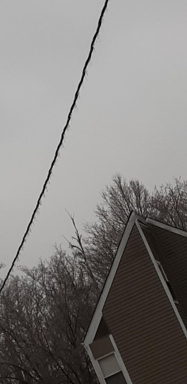
Welp. Could be lights out soon. Freezing rain continues to pour down. Holding steady at 29.
-
Heavy zr here, sidewalk is reflecting and ice is beginning to accrue on limbs. 29 degrees currently in Radford.
-
1
-
 1
1
-
-
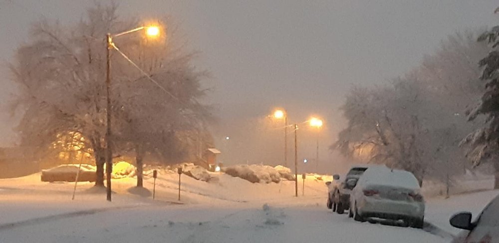
Heavy sleet with a bit of zr and snow mixed in as of 2:09AM. A solid wintry mix.
-
Snow and Sleet has begun here in Radford. Started about 5 minutes ago via pinging against the window. Already coating the ground and cars in a hurry.
-
31/22 as of 11:15 pm in Radford.
-
2 minutes ago, wncsnow said:
RDPS is still a big hit
.thumb.png.e4b2bd889b3a89bde37748ef3fac8c7d.png)
 Yeesh. Now that's a nightmare, especially for those already reeling from Saturday.
-
3 minutes ago, Buddy1987 said:
Boy I can’t help but think when looking more specifically at the 3k Nam a Bruce Willis Armageddon scene out this way with huge chunks of asteroid type hail balls falling from the sky looking at soundings and then 850s/2m’s. The sleet would be epic out this way.
Definitely looks like sleet city in our neck of the woods. What is the rain to sleet ratio again? Is it for every inch of rain it's 2 or 3 inches of sleet? It makes me wonder what the record for sleet is in one storm. Anyone know?
-
Snow beginning to mix in with the sleet and freezing rain here in Radford.
-
1
-
-
1 minute ago, Buddy1987 said:
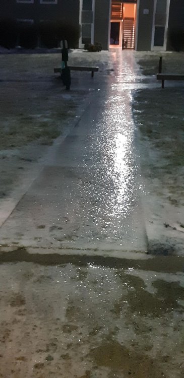
31.8 everything is a mess. People reporting 81 is a sheet of ice. All surfaces now have a good coating of ice pellets on them. @Tealsnowball I’m sure it’s really bad out your way.
I ventured out about an hour ago and roads weren't bad at that point. I certainly won't try my luck again, especially from your reports. Scary stuff
.
-
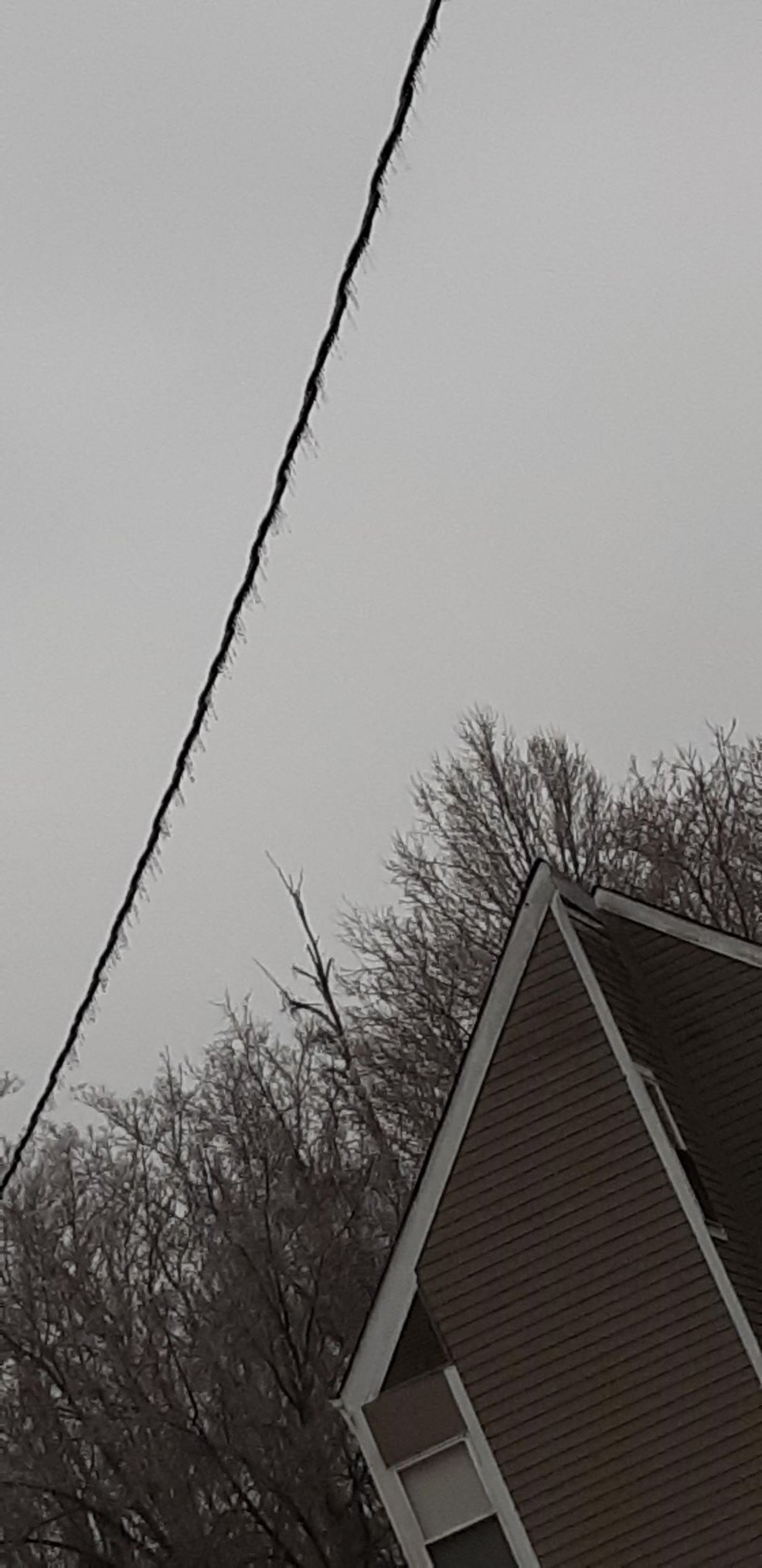
Had a thin mist that coated a portion of the back window of my car about an hour ago. Then about 15 minutes ago, that mist transitioned into sleet pellets which proceded to smack my head. And man does it feel cold out. That damp, drafty, misty, sleety air is bone chilling!
Also, via the weather channel app in my car, Clifton Forge should be getting a Wind Chill Warning apparently...
-
 1
1
-
-
1 minute ago, Buddy1987 said:
I’ve lived in ROA since 2011. Is there anything that you can recall or think of that even came close to something like this throughout the decades or years? This is about 60 hours away give or take. We’re not talking 5-6 days out. Pretty crazy to think at an average of 1.30” half would still be .65”.
I can't remember any to be honest. Usually when Roanoke is faced with an icy situation, it's primarily sleet. Aside from the freezing rain we received in December, it hasn't occurred often in my mind. Normally Floyd is the place that gets hammered by icy events.
For that NAM run, Radford seems to be on the fringe. Out of sheer curiosity, I have an urge to travel to Floyd, Poor Mountain, Bent Mountain, or Rocky mount to see what a true freezing rain event looks like.
-
1
-
-
Well the NAM certainly has made things interesting for Thursday Night along I-81 & Highway 460 for the New River Valley and Roanoke. Teetering the line of rain and snow. I am curious to see what transpires. Agreed that Friday night looks nasty
-
6 hours ago, Buddy1987 said:
Super disappointing up this way. Pretty much all rain. Temp went from 39 to 35 but radar is lightening up and will really need 2nd batch to over perform. Hopefully the frontogenesis that has been talked about will come to fruition. No longer having good feelings about this. Crazy to me because to my south and west it really over achieved. Sat under heavy yellows for easily 30 min plus and couldn’t flip.
What causes that do you think? I've been in that situation numerous times. My folks live in Cave Spring (grew up there) and I don't know if it's urban heating or elevation but at times the transition from rain to snow seems to take a bit longer around Roanoke.
-
Storm ripping fatties over here. Unfortunately it looks like the end is near. About 2" of snow have accumulated in Radford.


-
7
-
-
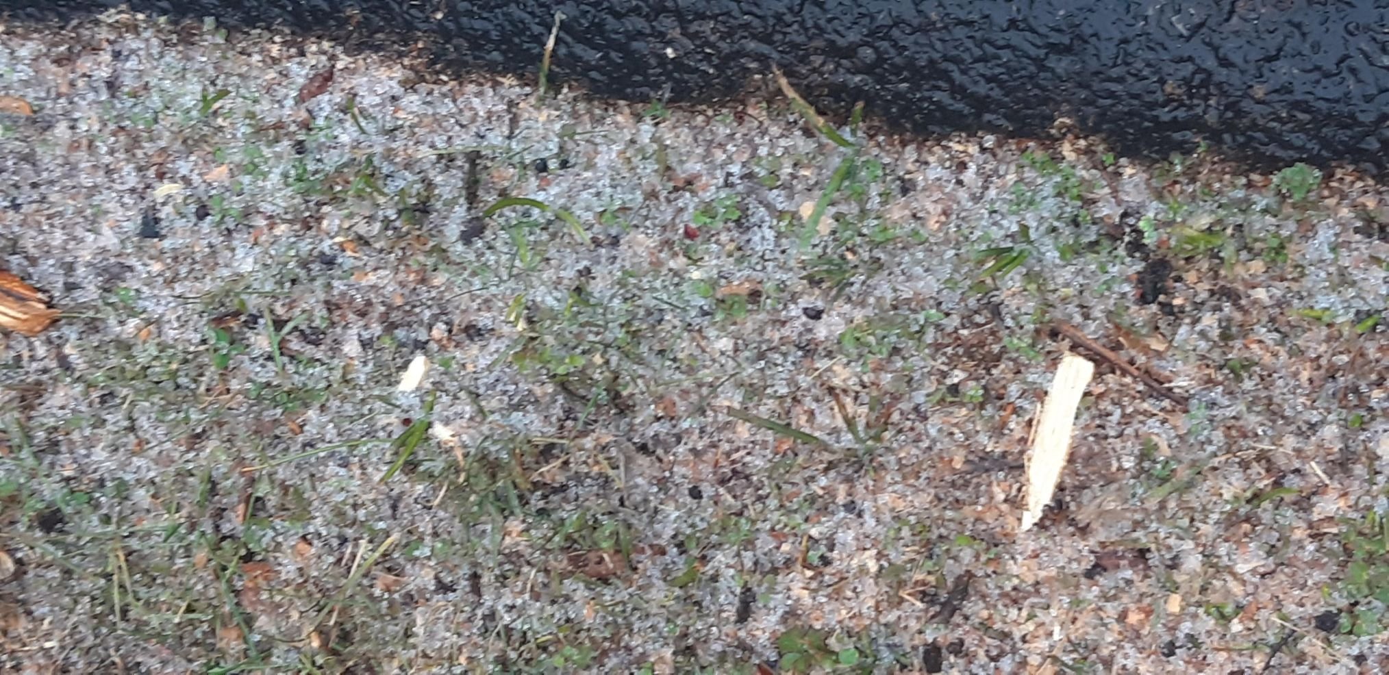
A solid dusting thus far on the grassy surface and on the car. Small blotches of snow beginning to accumulate on the asphalt.
-
Steady snow in Radford, VA with moderate band approaching the area.
-
1
-
-
Light rain/snow mix here in Radford, VA.
-
Have a buddy in Yadkinville, NC reporting that snow is coming down.
-
1
-
![IMG_20220116_131757[1031].jpg](https://www.americanwx.com/bb/uploads/monthly_2022_01/2136182037_IMG_20220116_1317571031.jpg.5b0707e8cacc4b0dc8577fae18ee5830.jpg)
![IMG_20220116_131703[1032].jpg](https://www.americanwx.com/bb/uploads/monthly_2022_01/955369709_IMG_20220116_1317031032.jpg.f83d576b47cf029a4756a8bc135d9429.jpg)

.png.b84e0113089b16004a5068476b822fa3.png)

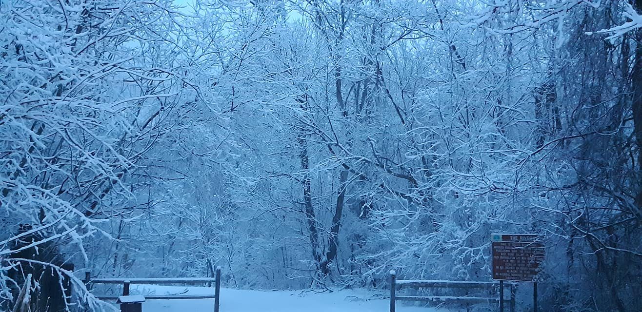

February 11-12 ULL Winter Storm
in Southeastern States
Posted
There's always Bent Mountain. I am halfway tempted to drive up there to get my snow fix (if it does occur there).