

IceCAPS
-
Posts
35 -
Joined
-
Last visited
Content Type
Profiles
Blogs
Forums
American Weather
Media Demo
Store
Gallery
Posts posted by IceCAPS
-
-
6 minutes ago, psuhoffman said:
I would still rather see it slightly suppressed at this range. The old north trend isn’t what it used to be but systems do still find a way to eek north at the end more often then not. But it’s not like 20 years ago when we wanted to see it crushing Raleigh at this range. The typical north adjustment is much less then it once was.
Why is that? In simple terms, what makes this a reality most of the time? And I apologise for what I'm sure is a dumb question most here don't need to ask
-
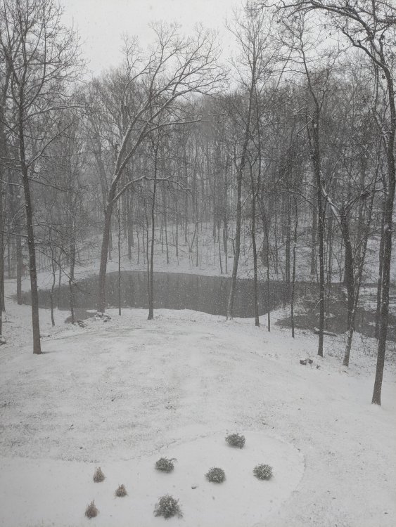
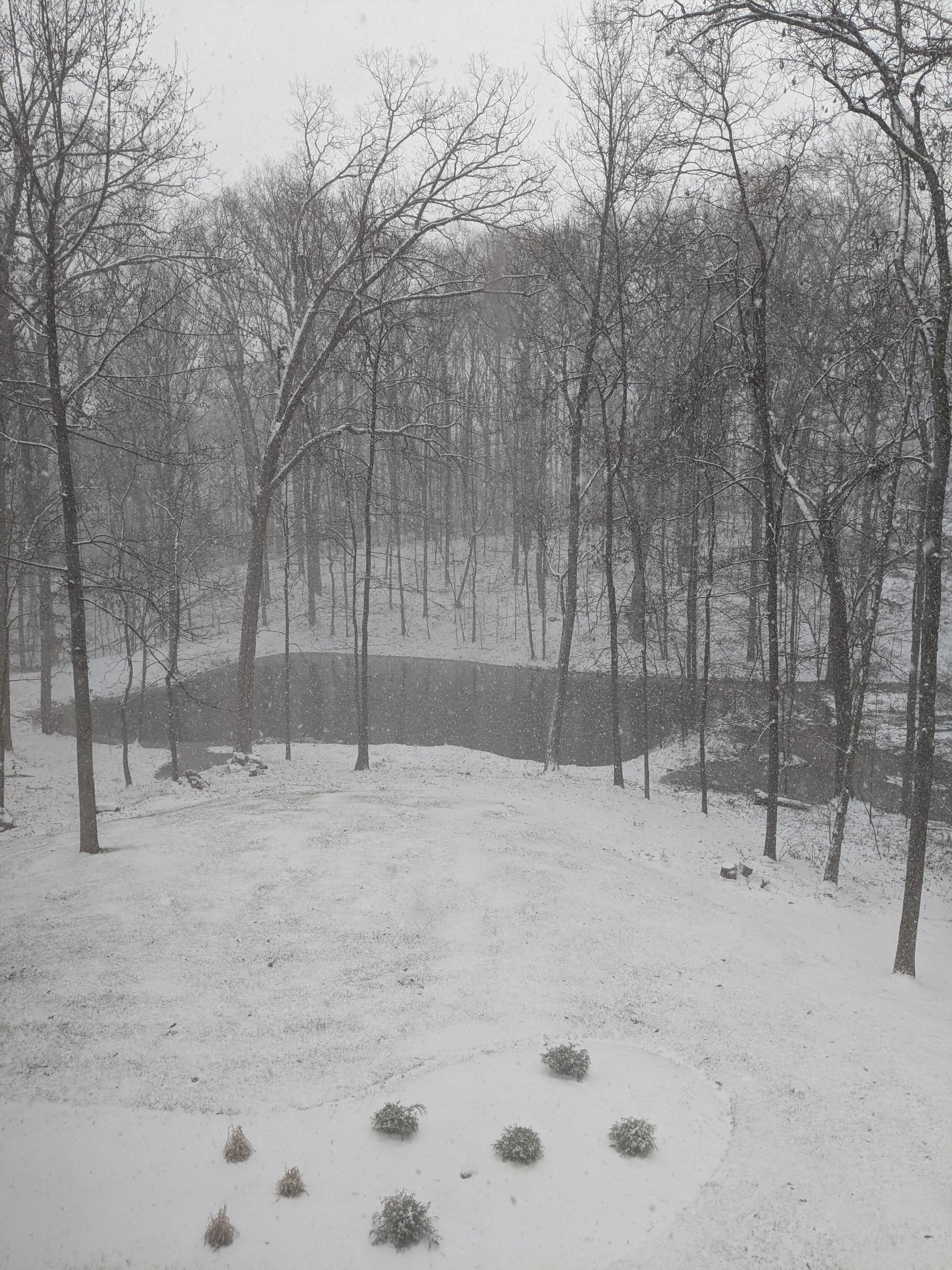
Tons of very large "fatties" falling now. I'm now worried this is the start of a transition to sleet but could simply be much heavier snow. Still holding at 30 degrees, likely inching up. Damn it!
-
Snowing moderately here in Northern Haymarket at 30 degrees making our property a winter wonderland. I forgot how much I loved days like this. I'm on the team of those hoping for a miracle that this doesn't switch over to freezing rain or rain but I realize that's likely a pipe dream but a dream nonetheless.
-
 1
1
-
-
8 minutes ago, notvirga! said:
Speaking of snow maps, WUsa’s latest is pretty sad. Where most have 4-8 or 6-12 they have 1-3. Could be right though, too early to say.
That sounds much too much like a 6-hour snow map for my liking. Egregiously conservative...a map with no faith. Nice tag name, by the way!

-
1
-
January Long Range Disco Thread
in Mid Atlantic
Posted
Mother of God! Talk about too much of a good thing! If I'm reading this right, I would think suppression would be the key word of the week here... cold as hell and bone dry. Of course, we do need cold for snow but this seems to be overdoing it a tad. I sure do hope I'm wrong or that this output is overdone, just a tad. :-)