
pbrussell
-
Posts
272 -
Joined
-
Last visited
Content Type
Profiles
Blogs
Forums
American Weather
Media Demo
Store
Gallery
Posts posted by pbrussell
-
-
There’s a tiny little supercell in leesburg al with a couplet/potential tds that is unwarned at the moment
-
The lead supercell has weakened by a twinge and it looks like the circulation is beginning to occlude
-
Southern supercells couplet is beginning to Max out
-
It looked like it was going to cycle for a second before it hit soso. That town is in big trouble
-
1 minute ago, lilj4425 said:
If you live in Bassfield, it the first tornado didn’t completely flatten your house then the second one will. Crazy.
That storm has a reflectivity donut hole now
-
Radar signatures don’t get much better than this. This is an extremely scary storm
-
Watching the cell blowing up north of Philadelphia ms
-
Looks like there is a tds with that southern Texas storm. At 1:24 am...
-
Hard to tell because they are in a radar hole but those nqa storms in Mississippi bear watching
-
We now have a cc spike on the northernmost tor warning
-
1 minute ago, Buckeye05 said:
Couplet is REALLY ramping up now! Possible significant TOR. Nothing on CC yet though so makes it a little questionable.
Newest scan paints a bleak picture. If it’s not on the ground it will be soon
-
2 minutes ago, andyhb said:
It’s got that violent helical motion going on seen with some other big ones in the past.
That’s a very violent tornado. Aside from the motion, the roar may give some credence to that was well. This video backs up the debris sigs
-
Just now, SmokeEater said:
MEG watching the cell near Trumann, AR closely.
Sent from my SM-G973U using Tapatalk
It’s little... but don’t think it will stay that way for long
-
Circulation is taking off again on the main storm. Looks to drop another
-
Harrisburg/cherry valley cell south of the main event about to blow up
-
And here’s where we were in Kearney when we got trapped by the damage path
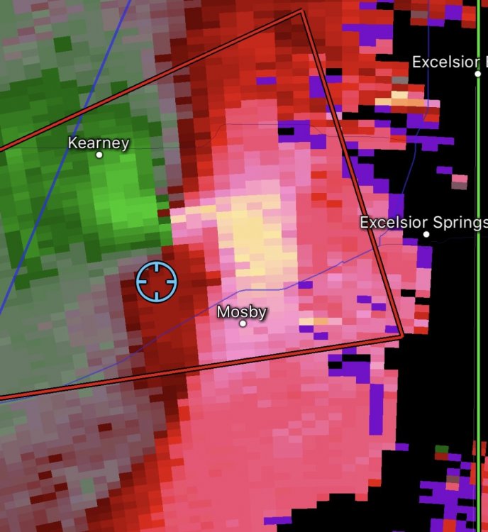
-
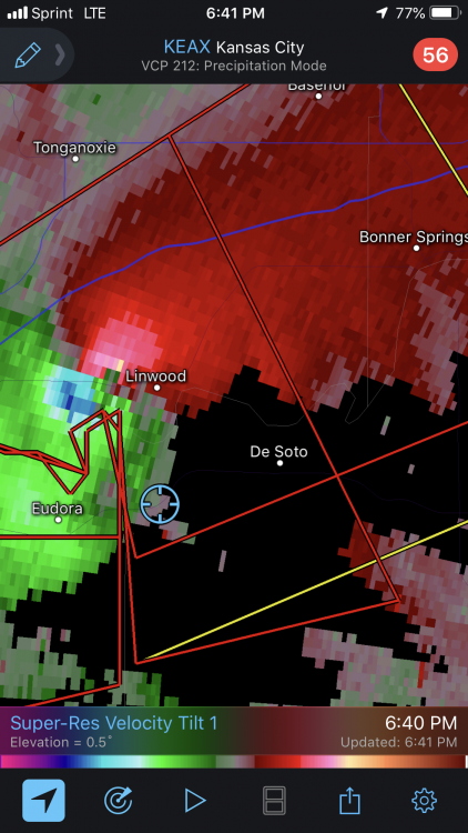
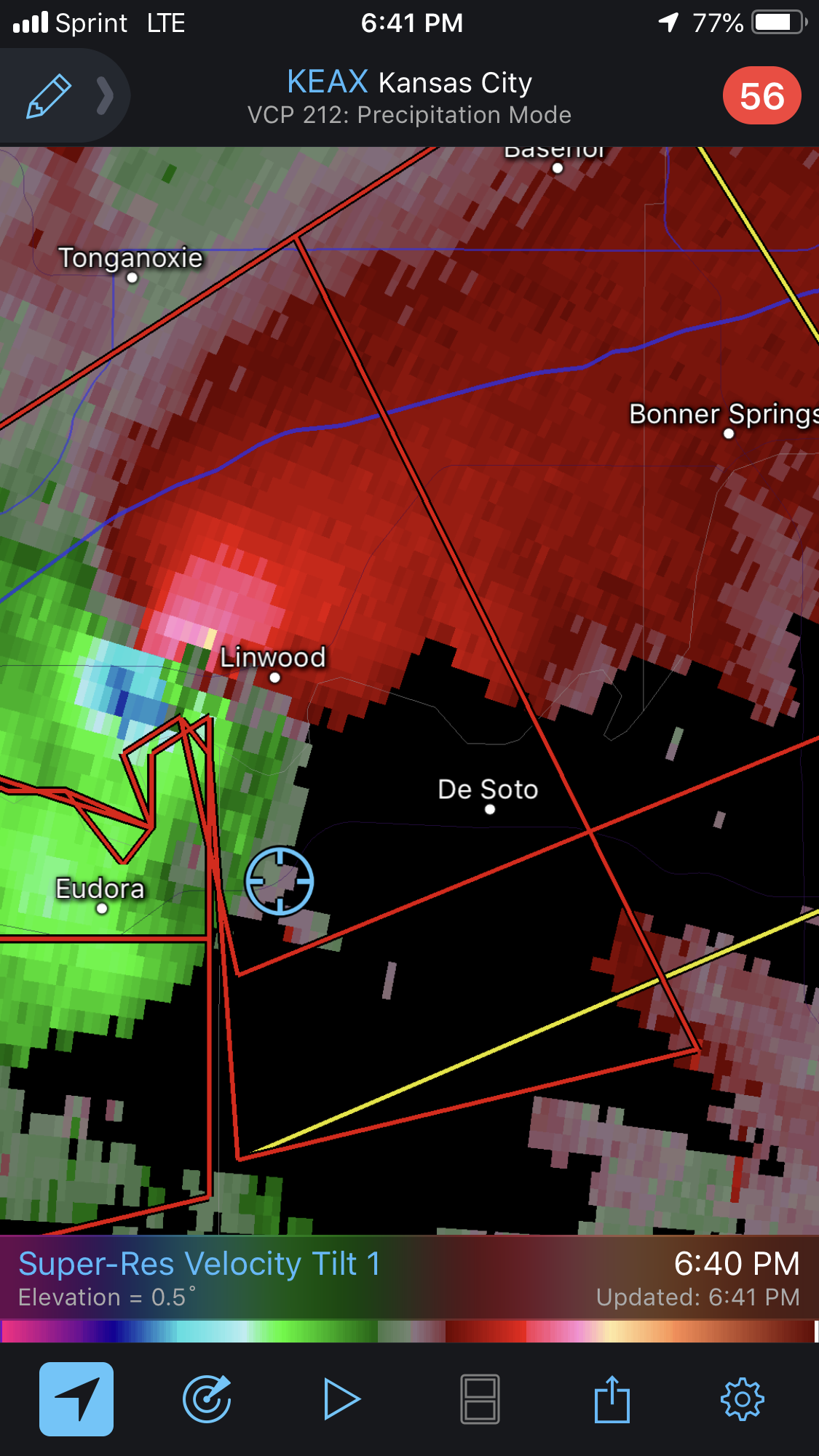
Another before it went into linwood

-
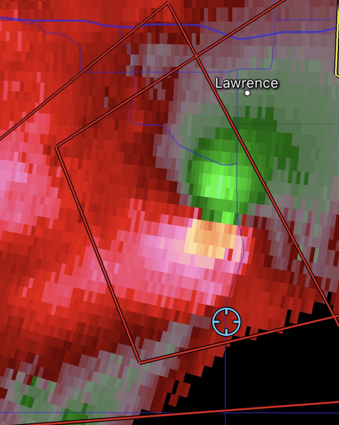
Here are some interesting screenshots I took.
-
So, I chased this evening in Kc and much of our view was obscured by rain. I was just south of the tornado as it passed through Linwood and had us go south when hit with substantial rfd (and it didn’t help that it was rain wrapped). We shot video of the tornado as it was rain wrapped and wedged out south of Lawrence. I also was on the tornado at Kearney Missouri and once again our view was obscured by rain. We couldn’t get in front of the tornado as the road we took was directly in the damage path (I shot video, several snapped trees and trees down in the road) I can also confirm that it was raining debris, as we saw large sticks coming down out of the air as the tornado began to dissipate. An extremely good chase and I would only be happier if these cells weren’t hp monsters
-
 1
1
-
 1
1
-
-
2 minutes ago, Chinook said:
possible 2 or 3 tornadoes on the squall line in the Kansas City area

I’d say lake lotawana had one on the ground. There was a small cc spike with that directly correlated with the velocity/reflectivity scans
-
The western most cell likely needs a warning as well
-
6 hours ago, OortCloud said:
PBRussell, I recognized your avatar immediately. May 4, 2003. The northernmost one is the one that hit my parents' house.
Wow, sorry I’m getting to this late. You mean the kck f4 tornado correct? My father brother and I went out and chased that thing and took video footage. First tornado I ever saw.
A classmate of mine in school also had her house leveled from that tornado. Certainly a day I’ll never forget
-
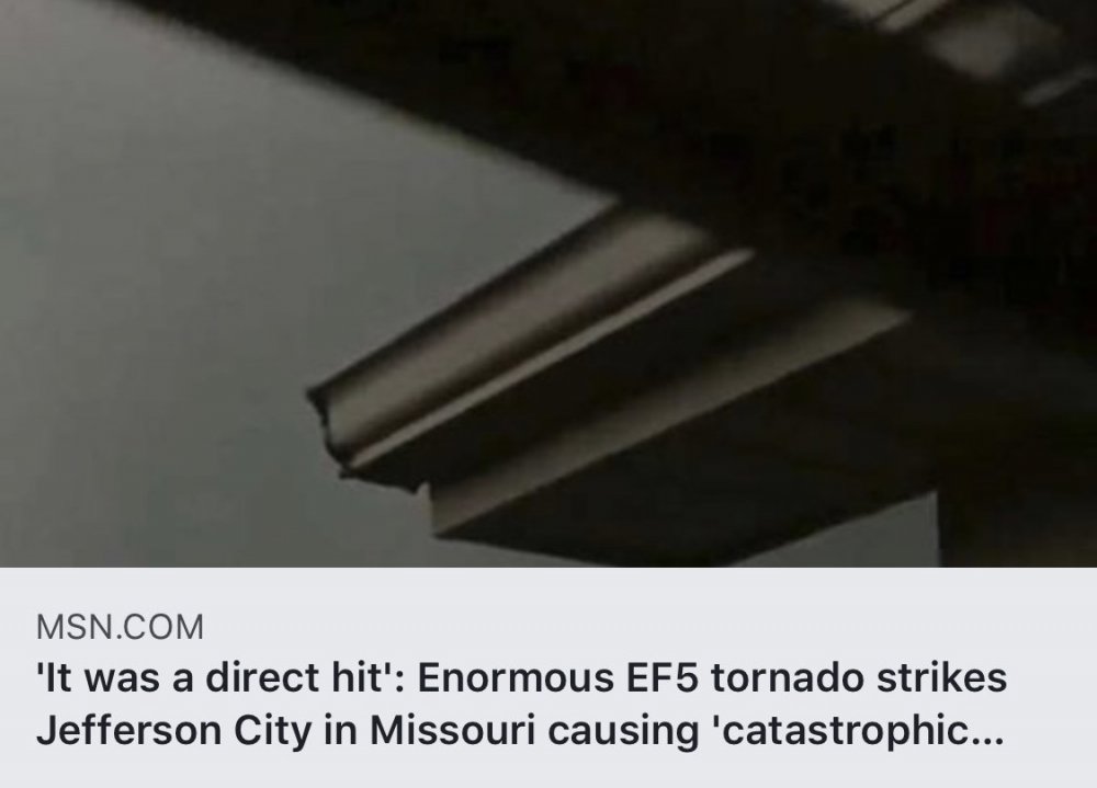
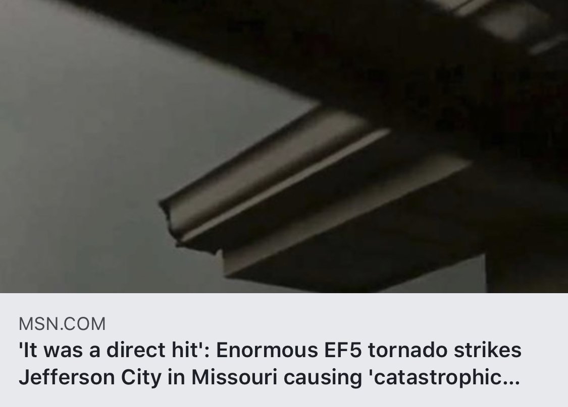
Just now, MUWX said:
Jeff City was rated a high end EF3, preliminarily.
When people pull crap like that it really rustles my jimmies
-
Nice headline msn.


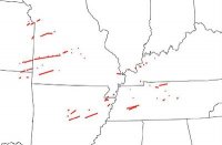
April 19th Severe Event
in Southeastern States
Posted
Keep an eye on the supercell trailing the main storm. We are getting a hook echo on that one