
pbrussell
-
Posts
272 -
Joined
-
Last visited
Content Type
Profiles
Blogs
Forums
American Weather
Media Demo
Store
Gallery
Posts posted by pbrussell
-
-
I am really scared about the supercells blowing up at kfdr
-
The cc drop at Bartlesville is nottttt good
-
Storm north of el Reno is probably about to go off
-
Looks look two circulations

-
Well, whole thing is playing out as forecasted so far. I think it’s about to get spicy. Not looking good
-
 2
2
-
-
2 minutes ago, Akeem the African Dream said:
radar clear in Oklahoma
Be away from here thou troll, and go back to where hence thou came!
-
1
-
 2
2
-
-
3 minutes ago, Akeem the African Dream said:
thin linear line of storms in Kansas isn’t going to verify high risk
Have you even taken the time to read the forecast?
-
2
-
 2
2
-
-
11 minutes ago, Akeem the African Dream said:
only two SVR warnings
high risk is busting

-
2
-
2
-
-
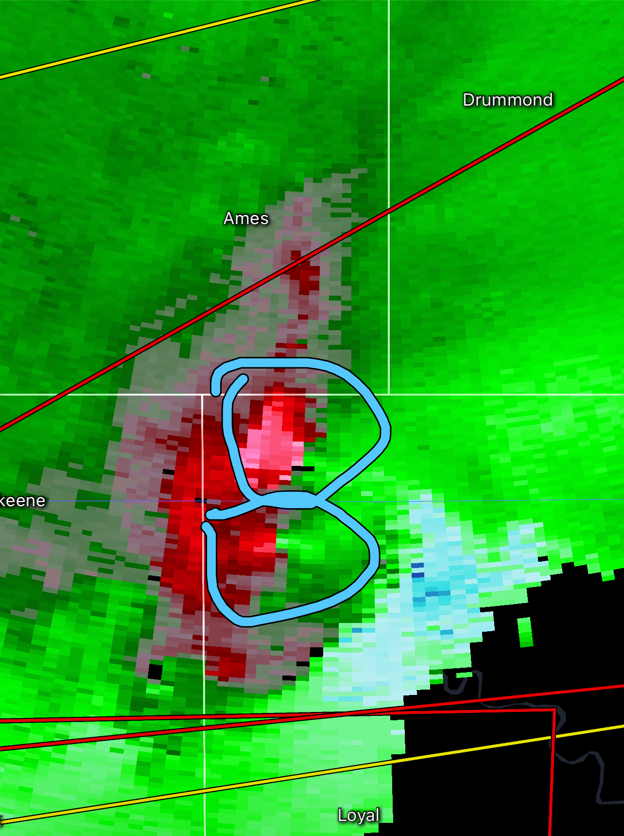
Reflectivity is hinting that the storm is about to split apart
-
3 minutes ago, Calderon said:
Looks like we’re getting circulation handoff as it’s approaching Rockford.
.Yup. And we saw what that earlier cell merger did. Looks like another merger is about to take place as well
-
TDS on it now
-
This has got to be a violent, major league tornado. Definitely don’t see radar images like this often
-
This looks like it’s shaping up to be a very long day. Hopefully not a precursor of things to come for folks in the path.
We could be looking at the event of the year here.
-
Iowa’s blowing up
-
1
-
-
Whelp. Everything’s going crazy now. Hello llj
-
4 minutes ago, jpeters3 said:
There were several more impressive ones a week and a half ago in MS, and another one last weekend in MS.
2 minutes ago, Buckeye05 said:Lol no
I love Internet forums. Sorry guys
¯\_(ツ)_/¯
Just thinking about the last time I watched a supercell cycle and produce violent tornadoes as long as this one has. Chapman is what came to mind
-
Pretty big tds there. This supercell is the most impressive storm I’ve watched since chapman ks. Perhaps more impressive?
-
I mean it’s not the tri state tornado... but it’s definitely a long track supercell beast.
-
Just now, MUWX said:
Velocity signature is much weaker now
But the reflectivity...
-
Prettiest storm I’ve watched in a while
-
1 minute ago, Snowstorm920 said:
The radar presentation of that cell is amazing currently
That’s a big league supercell right there
-
Couplet getting tight again
-
Hail core has diminished a smidge as well. Not sure if she’s cycling or dying. We shall see
-
Looks like we are having some cell Merger here. This is looking less and less like two separate storms
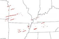
Severe Weather 5-6 through 5-9-24
in Central/Western States
Posted
God, that dominant supercell is heading right toward none other than Moore isn’t it