

Bango
-
Posts
300 -
Joined
-
Last visited
Content Type
Profiles
Blogs
Forums
American Weather
Media Demo
Store
Gallery
Posts posted by Bango
-
-
Tennessee reminds me of a 3 or 4 ncaa seed quality team that has over achieved for a chance of a 1-2 seed. The guard play looks solid but not elite, and the two bigs don't overwhelm you with talent, but instead out muscle and out grind you over the course of a game. 3 ball doesn't seem elite to me. Great defense and sound rebounding. Overall I'd be shocked to see them in the elite 8 in a few weeks but I guess we will find out.
-
 1
1
-
-
As john said, its amazing the last couple winters we have been basically punting january's. Aside from the early December event, weve had 1 or 2 thread worthy events, including tommorrows 1-3 inch potential. Alot of busted forecasts this year
-
26 minutes ago, BlunderStorm said:
bummer...


Feel like ive seen this movie before with this setup. Soon we hug the out of range nam until it dries up in range
") ....
....
-
 2
2
-
-
Trying to recall the last high ratio snow event that scored over 4 inches at tri. I know there must been a few good ones but i am drawing blanks. Along those lines, have we ever recorded a foot or more with high ratios?
-
26 minutes ago, John1122 said:
Don't worry about the far NE areas, it's still snowing as of that panel. It fills up towards 5 inches and the rest East Tn along and north of 40 is in the purple 6+ inch range as is SWVA with some isolated double digit totals in the mountains and higher peaks.
As of now every model except the FV3 is on board for a big winter storm. The FV3 was much drier across the area. That said, the FV3 has been missing badly at this range lately. We just saw how badly it missed the system that came through last night 4-5 days out.
The Euro/UKIE/Canadian/GFS are pretty much all on board as we stand now, 3.5-4 days away from this being felt in our far western areas. A few years ago I'd have taken that combo to the bank at this range, but this year it's just been a rough one for the models at anything beyond day 3.
What do the temps looks like behind it?
-
Where might one get there hands on a kuchera map
-
2 minutes ago, Reb said:
Canadian similar to icon. Huge totals
Good lord, tonights runs are a thing of beauty
-
2
-
-
Frigid behind it, from 120-156, a good chunk of east tn hovers from negative to single digits, colder in swva. Wow
-
Meh looking 18z gfs, maybe east tn squeezed out an inch in 384 hrs. Rest of the state nothing
-
Fv3 with a great snow run for east tn, at 200 hrs or so the temps go deep negative. How we get the snow is a little funky looking to my eyes (small amounts of moisture keep rotating through)
-
1
-
-
2 hours ago, Kasper said:
I’m going to start my Southern Valley snow dance Lol
I hope its got the extra special sauce...the 0z gfs just cut totals to a non-event
-
1
-
-
4 minutes ago, John1122 said:
The FV3 stuck to it's guns on post frontal snow again Wednesday. At this point I'm curious to see when/if it's going to give in before the event. This time it gives everyone from 40 north, Nash, Cookeville, Knox, Morristown to Tri a burst of heavy snow. I can't believe it's true, but if it's not, it's crazy that the upgrade to the GFS is performing this poorly, this close to the event.

The fv3 was so awesome on the december storm that i remember thinking wow this is great. Anecdotally speaking, seems to be erratic since then.
-
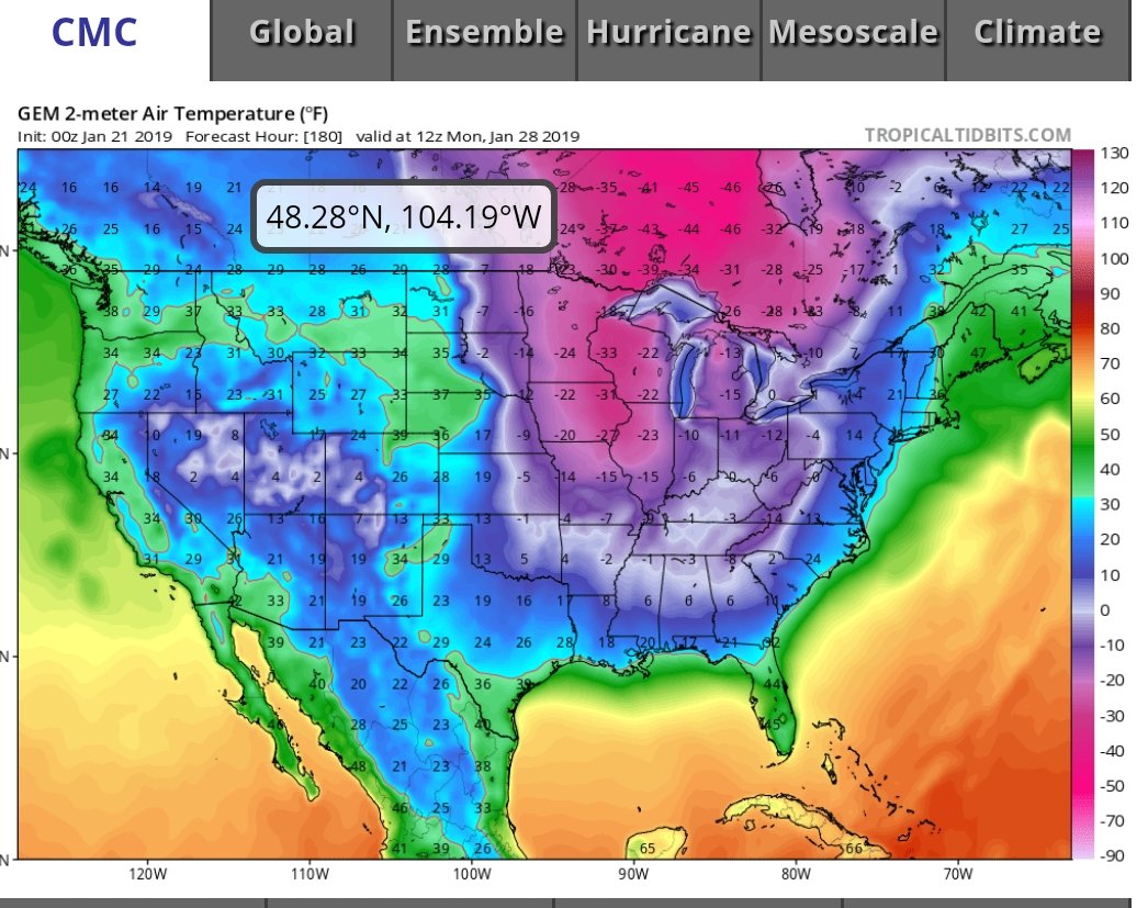
0z Cmc a return to the freakish cold and snow pattern through 240.

-
2
-
-
Fv3 continues to show johns glacier (mid tn to plateau into ky. Its been pretty consistent over the last few runs it seems. Would be beyond epic for you guys
-
8 minutes ago, Carvers Gap said:
...And a pretty nice run(statewide) of the 0z CMC and ends on a great note at 500. Looks like three possible events for the forum area...depends on your back yard's location.
Selfishly, i would love a blend of the cmc and gfs storm track (tri) for the next system
-
1
-
-
Oh canada! Out through 240, canadian is a thing of beauty statewide. Canadian is what i thought the 0z would look more like....that is, a continuation of the great earlier runs from with wall to wall events
-
Fascinating midday runs, esp the 2nd storm for middle tennessee. Looks like the fv3 wants the track further west than gfs and last nights euro, which hurts east tn but helps middle tn.
-
Looking pretty paltry on 12z suites ...
-
32 minutes ago, John1122 said:
The Euro laughed at the GFS and pushed rain into Toronto, Canada that run. OP of the models are not in any form of agreement with their ensembles. I guess there's too much chaos going on right now for anything close to stable modeling.
Fv3 also showed the gfs solution, piss
-
16 minutes ago, Carvers Gap said:
LOL. I probably really should put this in banter. I hadn't even seen the 16d snowfall map for the 18z GFS...plenty to track to the north, south, east, and west of TRI. The snow hole over(we have a different name for it in town) Kingsport verifies...so this must be right. If Chattanooga scored along with Knoxville...I can live with that. Just one run...but definitely want to see loaded runs in the future. That would be a good sign.

Sorry, my snow output didnt show that, wow that is a healthy map for all
-
3
-
 1
1
-
-
17 minutes ago, Carvers Gap said:
Maybe I should put it in banter, but since we are in the quiet before the storm...someone did point out the 18z GFS. Happy hour for all!
Looked like happy hour to our north and south, but plenty to track
-
1
-
-
I can't remember the last time vodka cold produced more than 1-2 inches from clippers etc. It is pretty awesome how snow can hang around after that kind of cold but I'd rather see just slightly below normal for what is basically the coldest time of the year anyway
-
12z gfs is oh so close a nice track for tn i40 north, swva. 100 more miles south pleasee
-
4
-
-
1 hour ago, SouthCentralWakeCo said:
e18 please!
Death, taxes, and someone claiming there favorite imby e__
-
1
-
4
-

Spring/Summer Banter Thread 2019
in Tennessee Valley
Posted
Tennessee faired better in the tourney than i thought given that Purdue was probably playing as good or better basketball than anyone in tourney. I feel that had purdue been in an opposing bracket it would be UVA/Purdue eventually.